The best walks and hikes in Saioako Oihana
4.6
(244)
2,065
hikers
106
hikes
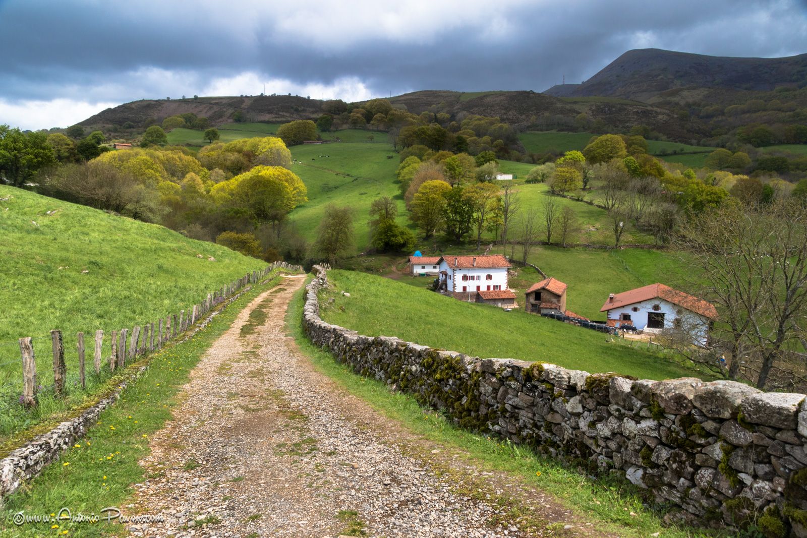
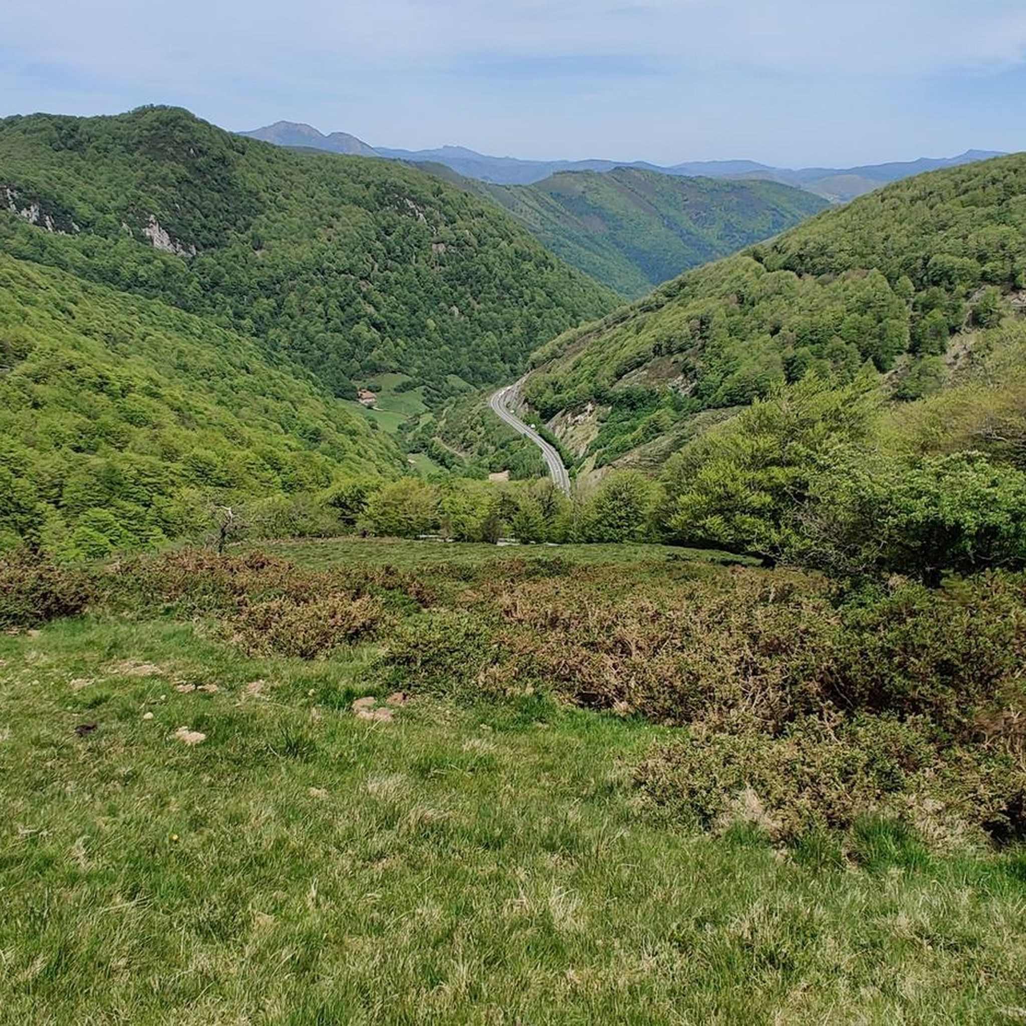
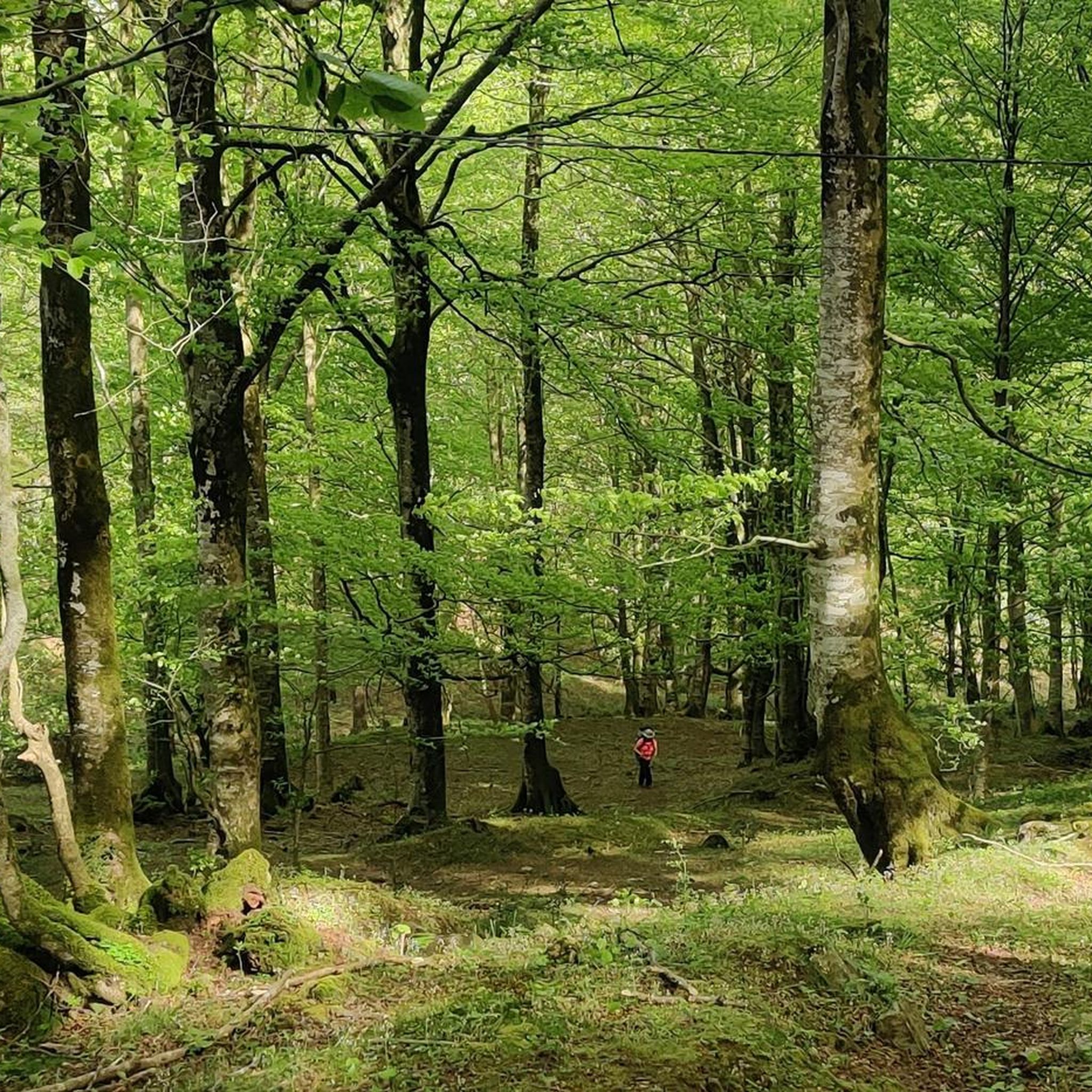
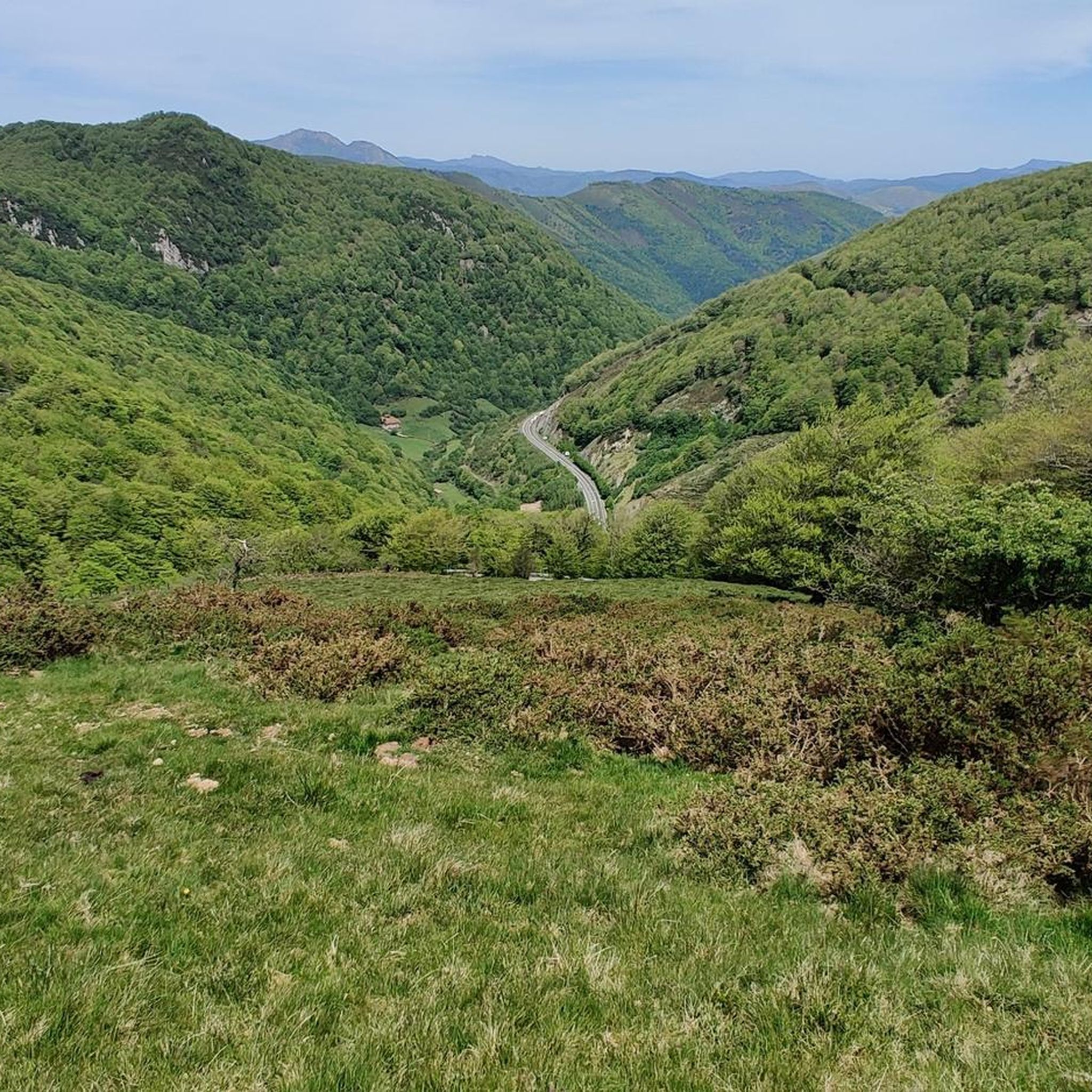
Hiking in Saioako Oihana offers a diverse landscape characterized by dense woodlands and rolling hills, typical of the Nord Occidental region. The area features several prominent summits, such as Abartan and Sayoa, providing varied elevation changes for hikers. Trails often traverse through ancient forests and open mountain terrain, with routes starting from villages like Almandoz and Berroeta. The region's geography supports a range of hiking experiences, from moderate forest walks to more challenging ascents.
Best hiking trails in Saioako Oihana
…Last updated: July 3, 2026
4.5
(4)
20
hikers
19.4km
05:54
600m
600m
Hard hike. Very good fitness required. Mostly accessible paths. Sure-footedness required.
4.7
(3)
12
hikers
12.6km
04:38
730m
730m
Moderate hike. Good fitness required. Mostly accessible paths. Sure-footedness required.

Sign up for free
8
hikers
16.4km
06:19
910m
910m
Hard hike. Very good fitness required. Mostly accessible paths. Sure-footedness required.
5.0
(1)
6
hikers
11.0km
04:21
750m
750m
Moderate hike. Good fitness required. Mostly accessible paths. Sure-footedness required.
4.6
(14)
140
hikers
12.5km
05:00
780m
780m
Hard hike. Very good fitness required. Mostly accessible paths. Sure-footedness required.
Get access to more routes and recommendations from other explorers.
Sign up for free
Already have an account?
Our route recommendations are based on thousands of hikes, rides, and runs completed by other people on komoot.
Start today with a free account
Your next adventure awaits.
Login or Signup
Other adventures in Saioako Oihana

Tips from the Community

The refuge hermitage of Santiago in Belate is standing thanks to the good faith and effort of the volunteers of the Association of Friends of the Camino de Santiago de Baztán, who spent six years working on it to recover it with the simple objective of preserving our heritage.
2
0
In Almandoz is the Galtzaga Palace (Galtzaga Jauregia), an 18th century palace house that is today a hotel. On the main façade it has a shield carved in stone.
0
0

The highest peak in the Baztan valley, it is located in a massif of grassy and rounded peaks. It is one of the most emblematic and visited mountains in the valley.
3
0

The views from the top are impressive.
2
1
You should not stop visiting this hermitage due to its privileged situation.
1
0
Frequently Asked Questions
How many hiking trails are available in Saioako Oihana?
Saioako Oihana offers a wide variety of hiking experiences, with over 100 routes recorded on komoot. These range from easy forest strolls to challenging mountain ascents, catering to all skill levels.
What is the best time of year to hike in Saioako Oihana?
The best time to hike in Saioako Oihana is generally from spring to autumn (April to October). During these months, the weather is milder, and the trails are more accessible. Autumn offers particularly beautiful scenery with changing foliage in the dense woodlands. Winter hiking is possible but requires appropriate gear due to potential snow and colder temperatures, especially at higher elevations like Abartan and Sayoa.
Are there any easy or beginner-friendly hikes in Saioako Oihana?
Yes, Saioako Oihana has several easier routes suitable for beginners or those looking for a less strenuous walk. Approximately 17 of the trails are rated as easy. These typically involve less elevation gain and shorter distances, often through the lower-lying woodlands. While specific easy routes aren't detailed here, you can find them by filtering for 'easy' difficulty on komoot.
Are there any circular walks or loop trails in Saioako Oihana?
Many of the trails in Saioako Oihana are designed as circular routes, allowing you to start and end in the same location. For example, the Almandoz loop from Almandoz is a popular option, offering varied forest paths and open views. Another great loop is the Abartan (1,095 m) – Urlegi (922 m) loop from Berroeta, which takes you through high mountain forest.
What kind of terrain can I expect on the hiking trails?
The terrain in Saioako Oihana is diverse, characterized by dense woodlands, rolling hills, and prominent mountain summits. You'll encounter ancient forest paths, open mountain terrain, and varied elevation changes. Routes often start from villages like Almandoz and Berroeta, leading into both moderate forest walks and more challenging ascents to peaks like Abartan and Sayoa.
Are the hiking trails in Saioako Oihana dog-friendly?
Generally, Saioako Oihana's natural environment is suitable for hiking with dogs, provided they are kept under control, especially in areas where livestock may be present or wildlife is protected. It's always recommended to check specific trail regulations or local signage, and ensure your dog is well-behaved and on a leash when necessary. Remember to pack water for your dog, especially on longer routes.
Are there family-friendly hiking options in Saioako Oihana?
Yes, families can find suitable trails in Saioako Oihana, particularly among the easier and moderate routes. Look for trails with shorter distances and less significant elevation gain. The dense woodlands offer shaded paths, which can be pleasant for children. Always consider the fitness level of all family members when choosing a route.
Where can I park when visiting the hiking trails?
Many trailheads in Saioako Oihana, especially those starting from villages like Almandoz and Berroeta, offer parking facilities. For example, routes like the Okolin Summit – Santiago Hermitage loop from Belateko mendatea typically have parking available near the starting point. It's advisable to check the specific route details on komoot for parking information before you set out.
What do other hikers enjoy most about Saioako Oihana?
The area is highly rated by the komoot community, with an average score of 4.6 stars from over 200 reviews. Hikers often praise the region's diverse landscapes, from ancient forests to open mountain views, and the variety of trails suitable for different abilities. The sense of tranquility and immersion in nature are frequently highlighted.
Are there any challenging hikes for experienced hikers?
Absolutely. Saioako Oihana offers several challenging routes for experienced hikers, with 20 trails rated as difficult. These often involve significant elevation gain and longer distances, leading to prominent summits. Examples include the demanding Santiago Hermitage – Summit of Sayoa loop from Belateko mendatea and the Abartan (1,095 m) – Elorregi (1045 m) loop from Berroeta, which offers high mountain forest trekking.
Can I reach Saioako Oihana hiking trails using public transport?
While some villages like Almandoz and Berroeta, which serve as starting points for hikes, may have limited public transport connections, direct access to many trailheads within the more remote parts of Saioako Oihana can be challenging without a car. It's recommended to research local bus schedules to specific villages if you plan to rely on public transport, and be prepared for potential transfers or longer walks to reach your desired starting point.
Most popular routes in Saioako Oihana

Get inspired with the komoot mobile app


Explore more
Browse the best Hikes in other regions.
