The best running trails in Pinar De Allende
25
runners
10
runs
Jogging routes in Pinar De Allende traverse a landscape characterized by rolling hills, pine-forested areas, and open farmland. The region, situated in an elevated setting, offers varied terrain suitable for running, from gentle country roads to more challenging paths. Runners can expect views of valleys and agricultural areas, with routes often winding through mesquite forests. This environment provides diverse options for outdoor activity.
Best jogging routes in Pinar De Allende
- The most popular jogging route is Running loop from Mozoncillo…
Last updated: July 11, 2026
5
runners
8.75km
00:56
50m
50m
Moderate run. Good fitness required. Mostly paved surfaces. Suitable for all skill levels.
8
runners
15.2km
01:45
200m
200m
Hard run. Very good fitness required. Mostly paved surfaces. Suitable for all skill levels.

Sign up for free
3
runners
5.66km
00:35
10m
10m
Moderate run. Good fitness required. Mostly paved surfaces. Suitable for all skill levels.
2
runners
21.9km
02:31
120m
120m
Hard run. Very good fitness required. Mostly paved surfaces. Suitable for all skill levels.
2
runners
18.7km
02:09
110m
110m
Hard run. Very good fitness required. Mostly paved surfaces. Suitable for all skill levels.
Get access to more routes and recommendations from other explorers.
Sign up for free
Already have an account?
Our route recommendations are based on thousands of hikes, rides, and runs completed by other people on komoot.
Start today with a free account
Your next adventure awaits.
Login or Signup
Popular around Pinar De Allende



Tips from the Community

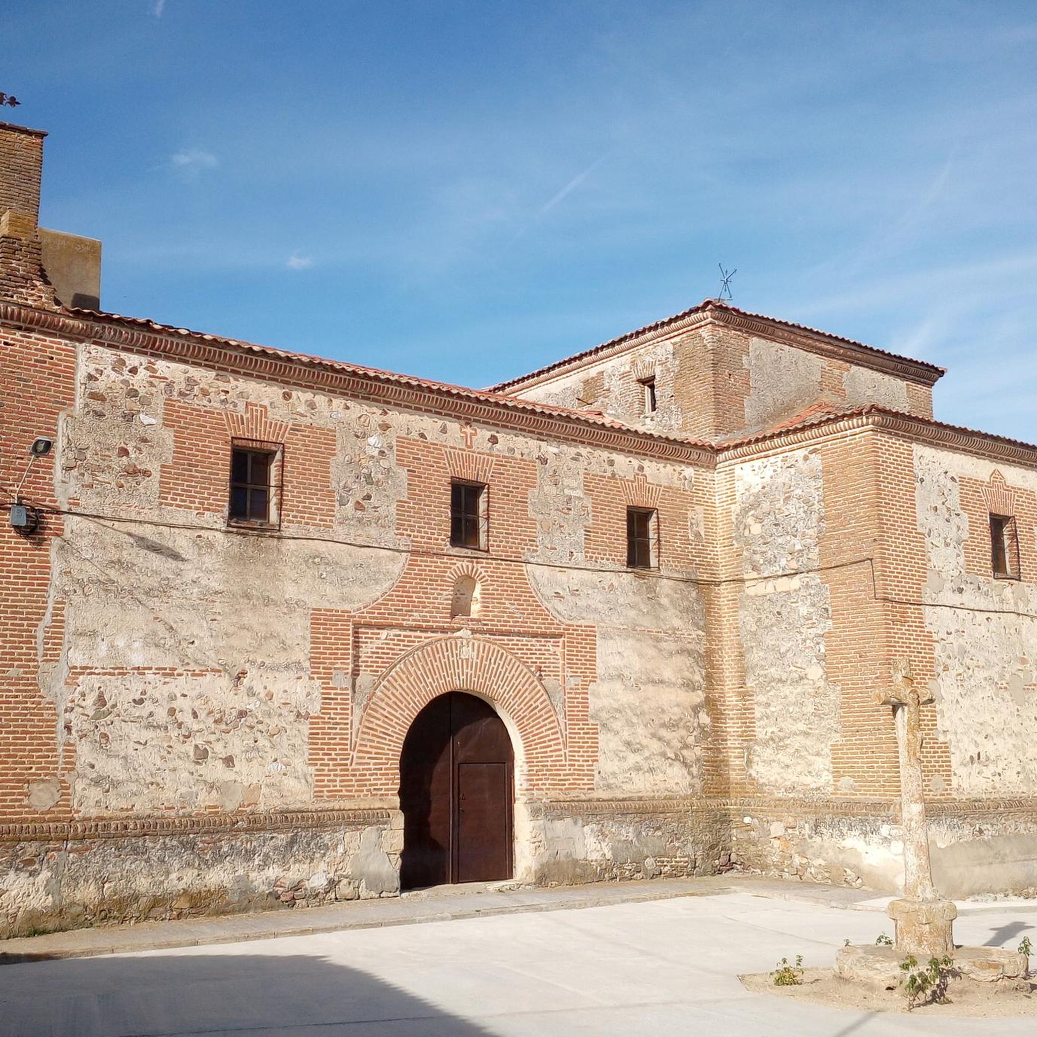
Carbonero el Mayor is a municipality and Spanish town in the province of Segovia, in the southern part of the autonomous community of Castilla y León. It appears cited in 1247 under the name Carbonero de Liedos; In 1587 it was mentioned as Carbonero la Mayor and in the 19th century it already appeared with its current name.
4
0

Carbonero el Mayor is a town located north of the city of Segovia, in the middle of the plain that goes from the Central System and the great plains of Valladolid.
1
0
Fuentepelayo is one of those towns that is located in the old middle of the plain between the Sierra de Guadarrama and the Río Duero valley. It is characterized by having two churches at its core, the Iglesia de Santa María and the Iglesia de El Salvador.
0
0
Frequently Asked Questions
How many running routes are available in the Pinar De Allende area?
There are 7 dedicated jogging routes available in the Pinar De Allende region, offering a variety of experiences for runners. These routes range from moderate to difficult, traversing rolling hills and pine-forested areas.
Are there any easy or beginner-friendly jogging routes in Pinar De Allende?
While the guide lists routes as moderate to difficult, the 'moderate' trails can be suitable for beginners looking for a gentle challenge. For example, the Running loop from Escarabajosa de Cabezas is a shorter, moderate option at 5.7 km with minimal elevation gain. For very easy, flat runs, consider the dedicated running track at Unidad Deportiva or Modulo COMUDE in San Miguel de Allende, which offers open paths.
What are some longer running trails in Pinar De Allende?
For those seeking longer distances, the Fuentes loop from Carbonero el Mayor is a challenging 15.0 km route with a significant elevation gain of 198 meters. Another excellent option is the Running loop from Mozoncillo, which covers 12.9 km through varied terrain.
Are there circular jogging routes available in Pinar De Allende?
Yes, all the routes featured in this guide are circular, allowing you to start and finish at the same point. Popular options include the Puente viejo loop from Mozoncillo and the Running loop from Mozoncillo, providing convenient and scenic round trips.
What kind of elevation gain can I expect on running trails in Pinar De Allende?
The elevation gain varies across the region's routes. Moderate trails like the Puente viejo loop from Mozoncillo have minimal gain, around 16 meters. More challenging routes, such as the Fuentes loop from Carbonero el Mayor, feature a more substantial climb of about 198 meters, offering a good workout.
Are there any scenic views or natural attractions along the jogging routes?
The Pinar De Allende region, particularly around San Miguel de Allende, offers picturesque views of rolling hills, farmland, and mesquite forests. Many routes wind through these landscapes, providing open vistas. For unique natural beauty, consider visiting the El Charco del Ingenio Botanical Garden, which features trails amidst extensive cacti collections and scenic canyon views, though it's not directly part of the listed routes.
What is the best time of year to jog in Pinar De Allende?
Given its elevated setting in the central Mexican Highlands, San Miguel de Allende generally enjoys a pleasant climate. The cooler, drier months from October to April are often ideal for outdoor activities like jogging, avoiding the hotter summer temperatures and the peak rainy season.
Are there dog-friendly running trails in the Pinar De Allende area?
Many of the country roads and rural paths outside the main city areas are suitable for running with dogs, provided they are well-behaved and kept under control. Always check local regulations for specific parks or nature preserves like El Charco del Ingenio, as rules for pets may vary.
Are there family-friendly jogging routes in Pinar De Allende?
For families, the shorter, moderate routes with less elevation gain are generally more suitable. The Running loop from Escarabajosa de Cabezas (5.7 km) is a good option. Additionally, Parque Benito Juárez in San Miguel de Allende offers winding paths in a serene setting, perfect for a leisurely family run or walk.
What do other runners enjoy most about jogging in Pinar De Allende?
The komoot community, with over 25 visitors to these routes, appreciates the varied terrain, from gentle country roads to more challenging paths. Runners often highlight the peaceful atmosphere and the opportunity to explore the region's rolling hills and pine-forested areas.
Are there jogging routes with good parking access in Pinar De Allende?
Many of the routes that start from smaller towns or rural areas, such as the loops from Mozoncillo or Carbonero el Mayor, typically offer easier parking access in or near the starting points. For urban running, dedicated sports complexes like Unidad Deportiva or Modulo COMUDE in San Miguel de Allende usually have parking facilities.
Can I access running trails in Pinar De Allende using public transport?
Access to some rural running trails might be limited by public transport. However, within San Miguel de Allende, local buses can take you to areas near Parque Benito Juárez or the sports complexes. For routes starting in smaller villages like Mozoncillo or Carbonero el Mayor, a car is generally recommended for convenient access.

Get inspired with the komoot mobile app


Explore more
Browse the best Running Trails & Routes in other regions.
