The best running trails in Sierra De Atapuerca
4.0
(4)
833
runners
49
runs
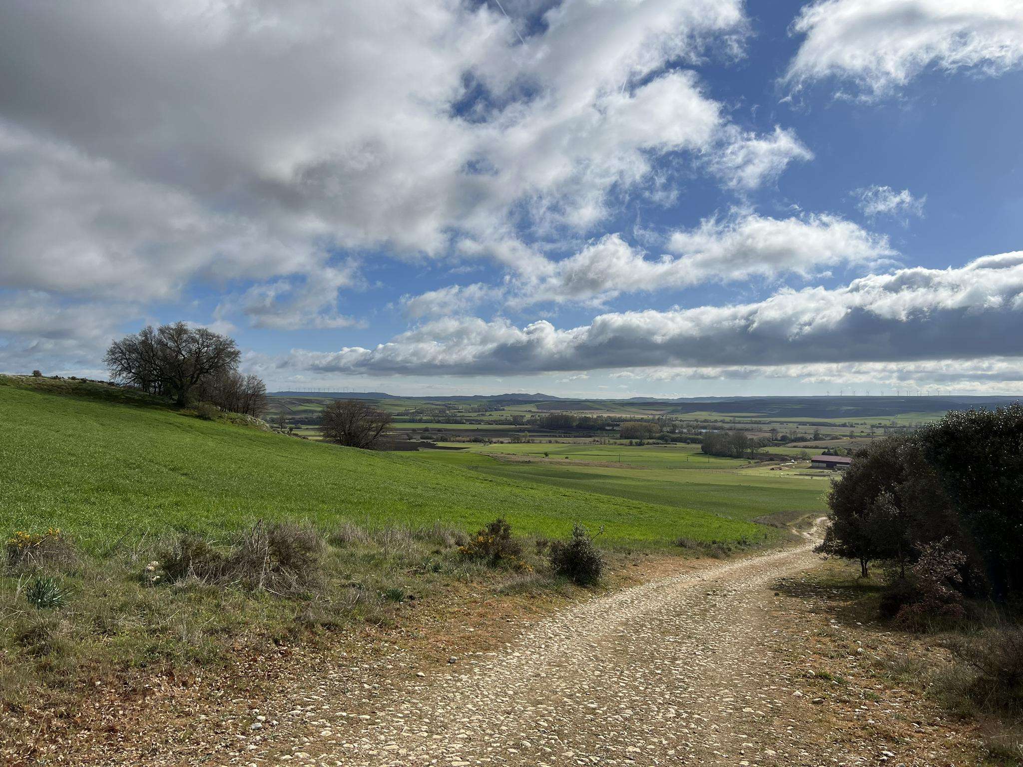
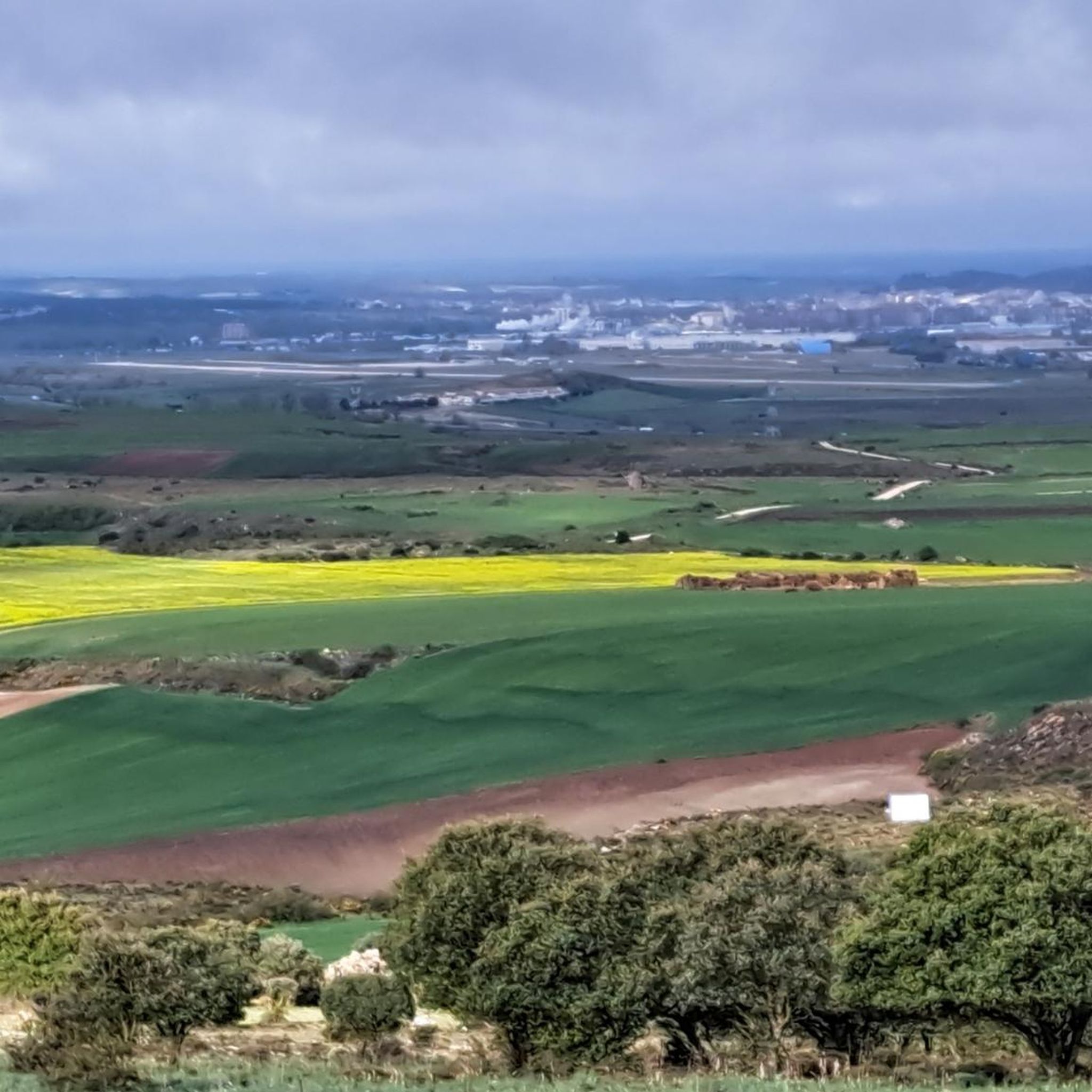
Jogging routes in Sierra de Atapuerca traverse a landscape characterized by rolling hills, lush forests, and diverse river valleys. This karstic hill formation offers varied terrain, providing a natural backdrop for physical activity. The region is an ecotone, situated at the corner of the Douro basin and south of the Cantabrian Mountains, which contributes to its rich natural environment. Paths often wind through areas of historical significance, including ancient archaeological sites integrated into the natural surroundings.
Best jogging routes in…
Last updated: June 28, 2026
13
runners
4.78km
00:32
10m
10m
Easy run. Great for any fitness level. Mostly paved surfaces. Suitable for all skill levels.
4
runners
6.45km
00:42
20m
20m
Moderate run. Good fitness required. Mostly paved surfaces. Suitable for all skill levels.

Sign up for free
4
runners
4.22km
00:26
10m
10m
Easy run. Great for any fitness level. Mostly paved surfaces. Suitable for all skill levels.
7
runners
11.4km
01:15
180m
180m
Moderate run. Good fitness required. Mostly paved surfaces. Suitable for all skill levels.
5
runners
Moderate run. Good fitness required. Mostly paved surfaces. Suitable for all skill levels.
Get access to more routes and recommendations from other explorers.
Sign up for free
Already have an account?
Our route recommendations are based on thousands of hikes, rides, and runs completed by other people on komoot.
Start today with a free account
Your next adventure awaits.
Login or Signup

Frequently Asked Questions
How many running trails are available in Sierra de Atapuerca?
Sierra de Atapuerca offers a wide selection of routes for runners. There are over 45 running trails available, catering to various preferences and fitness levels.
What kind of terrain can I expect on the running routes in Sierra de Atapuerca?
The running routes in Sierra de Atapuerca feature a diverse landscape of rolling hills, lush forests, and meandering river valleys. As a karstic hill formation, the area provides varied terrain, from flatter paths alongside water bodies to more challenging routes with elevation gains. You'll find yourself traversing an ecotone environment, rich in diverse species.
What is the best time of year for running in Sierra de Atapuerca?
The best times to visit Sierra de Atapuerca for outdoor activities like running are generally during the spring and autumn months. During these seasons, the weather is mild, and the landscapes are at their most vibrant, offering ideal conditions for enjoying the trails.
Are there running routes suitable for beginners or those looking for an easier jog?
While most of the routes in Sierra de Atapuerca are classified as moderate, there are options that offer a less strenuous experience. For example, the Running loop from Ibeas de Juarros is a moderate 3.3-mile (5.3 km) trail that provides a good introduction to the region's natural beauty without significant elevation.
Are there any circular running routes in Sierra de Atapuerca?
Yes, many of the running paths in Sierra de Atapuerca are designed as loops, allowing you to start and finish at the same point. A popular option is the Lagunas de Atapuerca loop from Atapuerca, a moderate 4.0-mile (6.5 km) path that explores areas near the river valleys.
What interesting landmarks or points of interest can I see while running?
Sierra de Atapuerca is rich in both natural and historical sights. Many running paths wind past significant archaeological sites, offering a unique journey through time. You can also discover viewpoints such as the Viewpoint of Matagrande Pilgrimage Quote or the View of Burgos from Alto de Mostelares, providing scenic breaks during your run.
What do other runners enjoy most about the trails in Sierra de Atapuerca?
The running trails in Sierra de Atapuerca are highly regarded by the komoot community, with an average rating of 3.0 stars. Runners often praise the varied terrain, the integration of historical sites into the natural landscape, and the options available for different ability levels. Over 800 runners have used komoot to explore the region's diverse paths.
Are there any longer or more challenging running routes for experienced runners?
Absolutely. For those seeking a greater challenge, Sierra de Atapuerca offers several routes with more significant elevation gains and longer distances. The Running loop from Base Militar Cid Campeador de Castrillo del Val is a 7.1-mile (11.4 km) trail that leads through varied terrain and forests, often completed in about 1 hour 15 minutes, providing a good workout.
What gear should I bring for running in Sierra de Atapuerca?
Given the varied and sometimes uneven terrain, it is highly recommended to wear comfortable, sturdy running shoes with good grip. Depending on the season, layers of clothing are advisable, and always carry water, especially on longer routes.
Are there any running routes that pass by the famous archaeological sites?
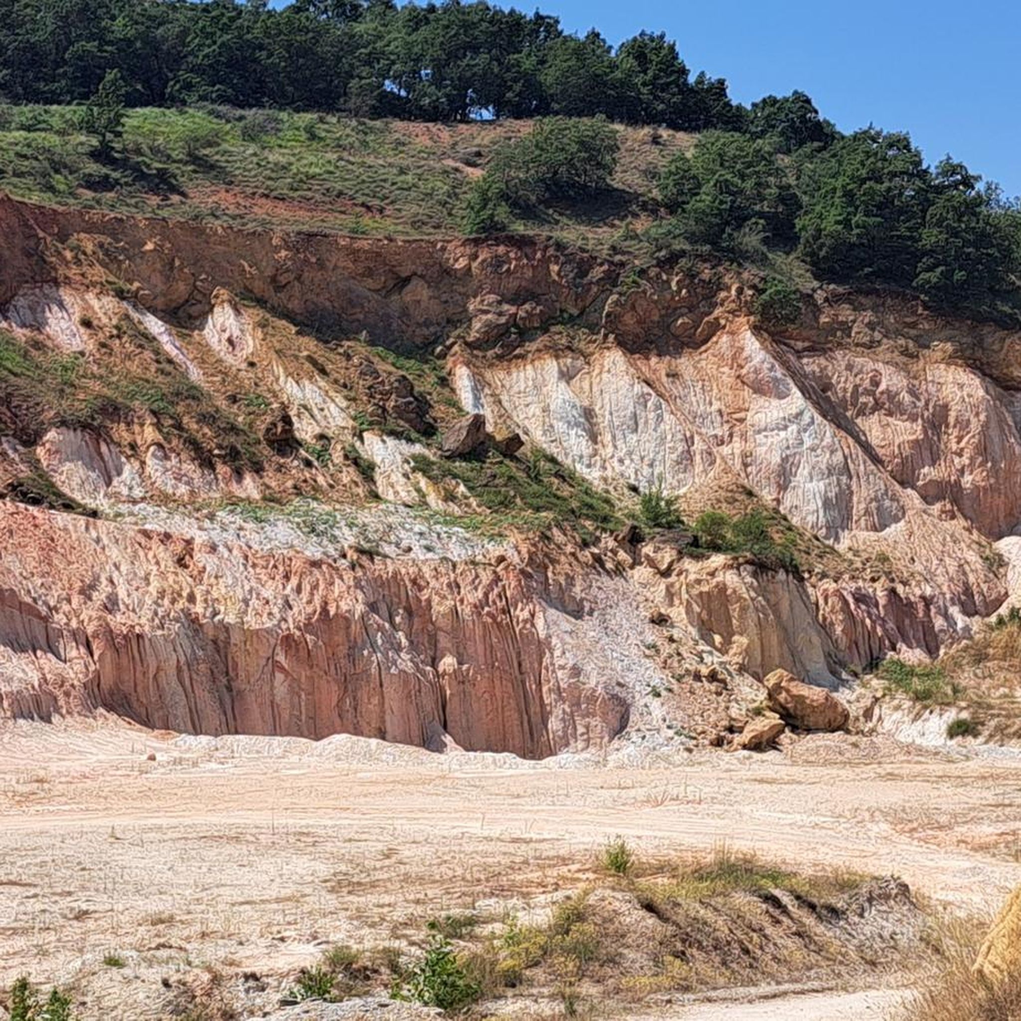
Yes, the profound archaeological significance of Sierra de Atapuerca means that many running paths are integrated with these historical treasures. You can traverse routes that wind past areas like the 'Railway Cutting,' which exposed many important archaeological sites, offering a unique blend of nature and history during your run.
Are the running trails in Sierra de Atapuerca dog-friendly?
While the region's natural environment is welcoming, specific regulations for dogs on trails can vary. Generally, dogs are permitted on trails if kept on a leash, especially to protect local wildlife and ensure the safety of other users. It's always a good idea to check local signage for any specific restrictions.
Are there any routes with good views of the surrounding area?
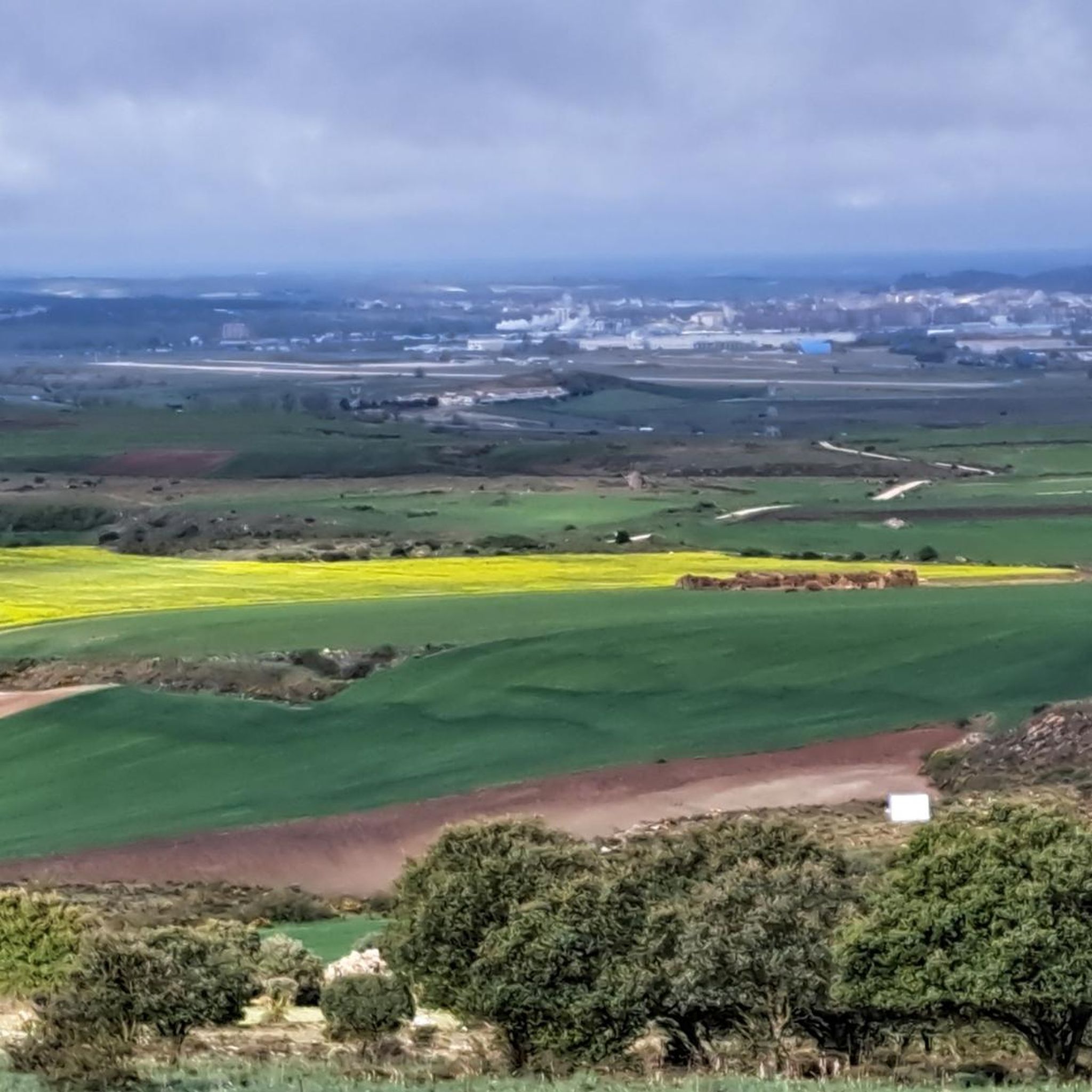
Yes, the rolling hills and varied topography of Sierra de Atapuerca provide several opportunities for scenic views. Routes often lead to elevated points or open areas where you can enjoy panoramic vistas of the surrounding landscapes, including the View of Burgos from Alto de Mostelares.
Most popular routes in Sierra De Atapuerca
Most popular attractions in Sierra De Atapuerca

Get inspired with the komoot mobile app


Explore more
Browse the best Running Trails & Routes in other regions.
