The best road cycling routes in Mata Nacional Das Terras Da Ordem
4.7
(6)
68
riders
6
rides
Road cycling routes in Mata Nacional Das Terras Da Ordem traverse a landscape characterized by Mediterranean forests, rolling hills, and riverine areas. The region, part of the Serra do Caldeirão, features diverse tree species like pine and cork oak, alongside the Odeleite and Foupana rivers. Topography includes varied climbing challenges, with elevations reaching over 1200 meters. Paved roads within the forest and the wider regional network offer opportunities for road cycling.
Best road cycling routes in Mata Nacional Das Terras…
Last updated: July 4, 2026
5.0
(4)
13
riders
57.9km
03:18
860m
860m
Moderate road ride. Good fitness required. Some segments of this route may be unpaved and difficult to ride.
5.0
(1)
9
riders
44.8km
02:12
650m
650m
Moderate road ride. Good fitness required. Mostly well-paved surfaces and easy to ride.

Sign up for free
4.0
(1)
7
riders
35.3km
02:02
550m
550m
Moderate road ride. Good fitness required. Some segments of this route may be unpaved and difficult to ride.
2
riders
51.6km
02:41
880m
870m
Moderate road ride. Good fitness required. Some segments of this route may be unpaved and difficult to ride.
17
riders
53.4km
02:35
760m
760m
Moderate road ride. Good fitness required. Some segments of this route may be unpaved and difficult to ride.
Our route recommendations are based on thousands of hikes, rides, and runs completed by other people on komoot.
Start today with a free account
Your next adventure awaits.
Login or Signup
Popular around Mata Nacional Das Terras Da Ordem
Tips from the Community


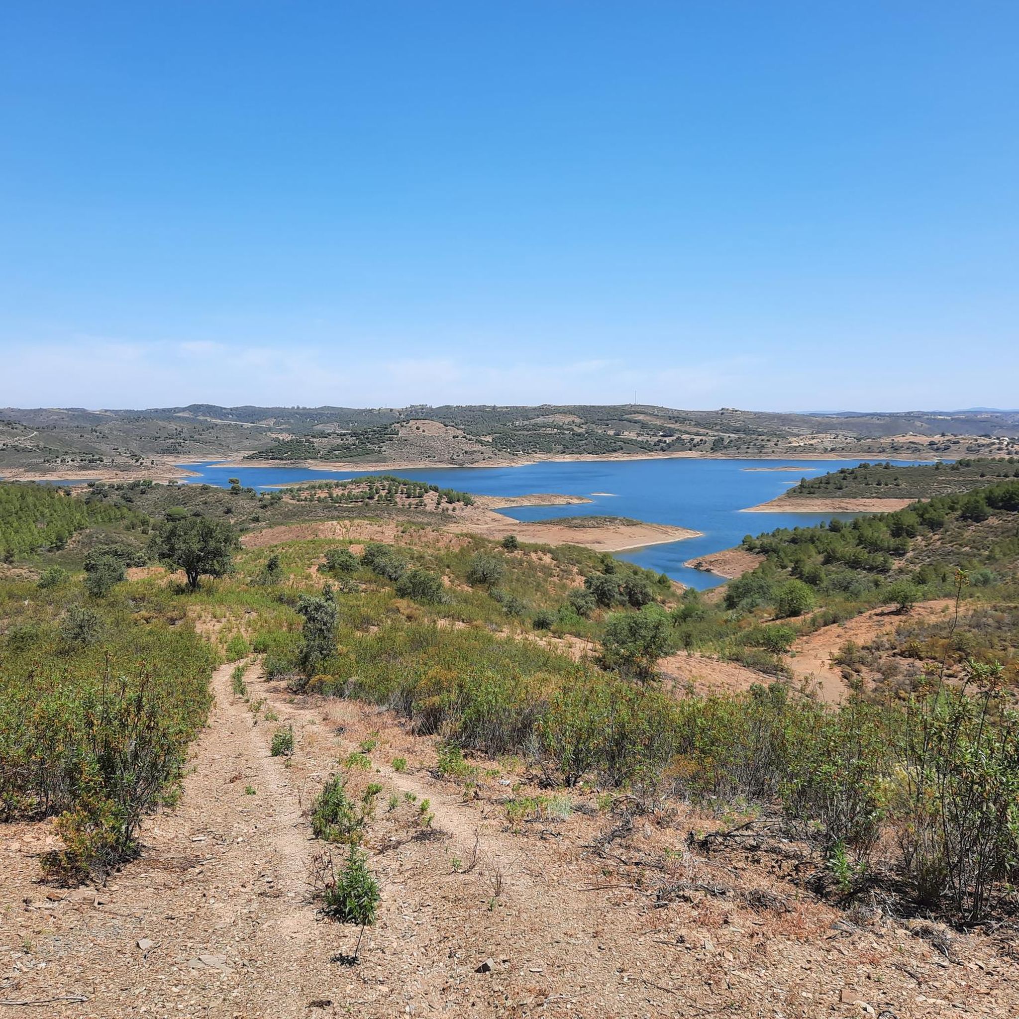
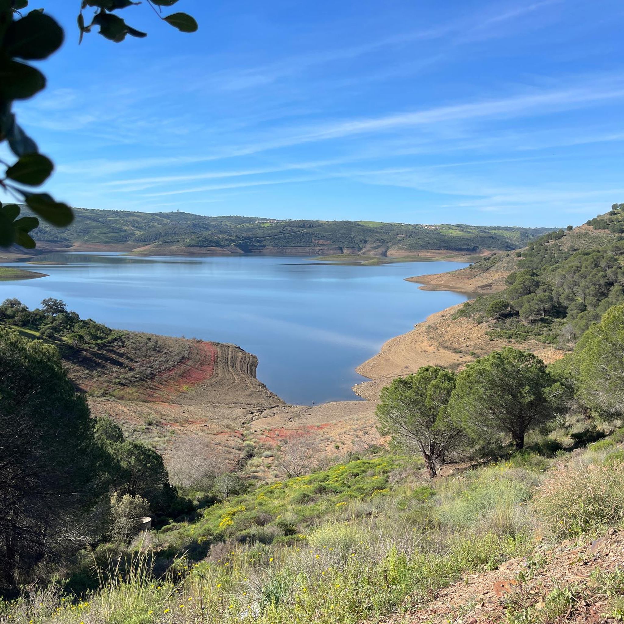
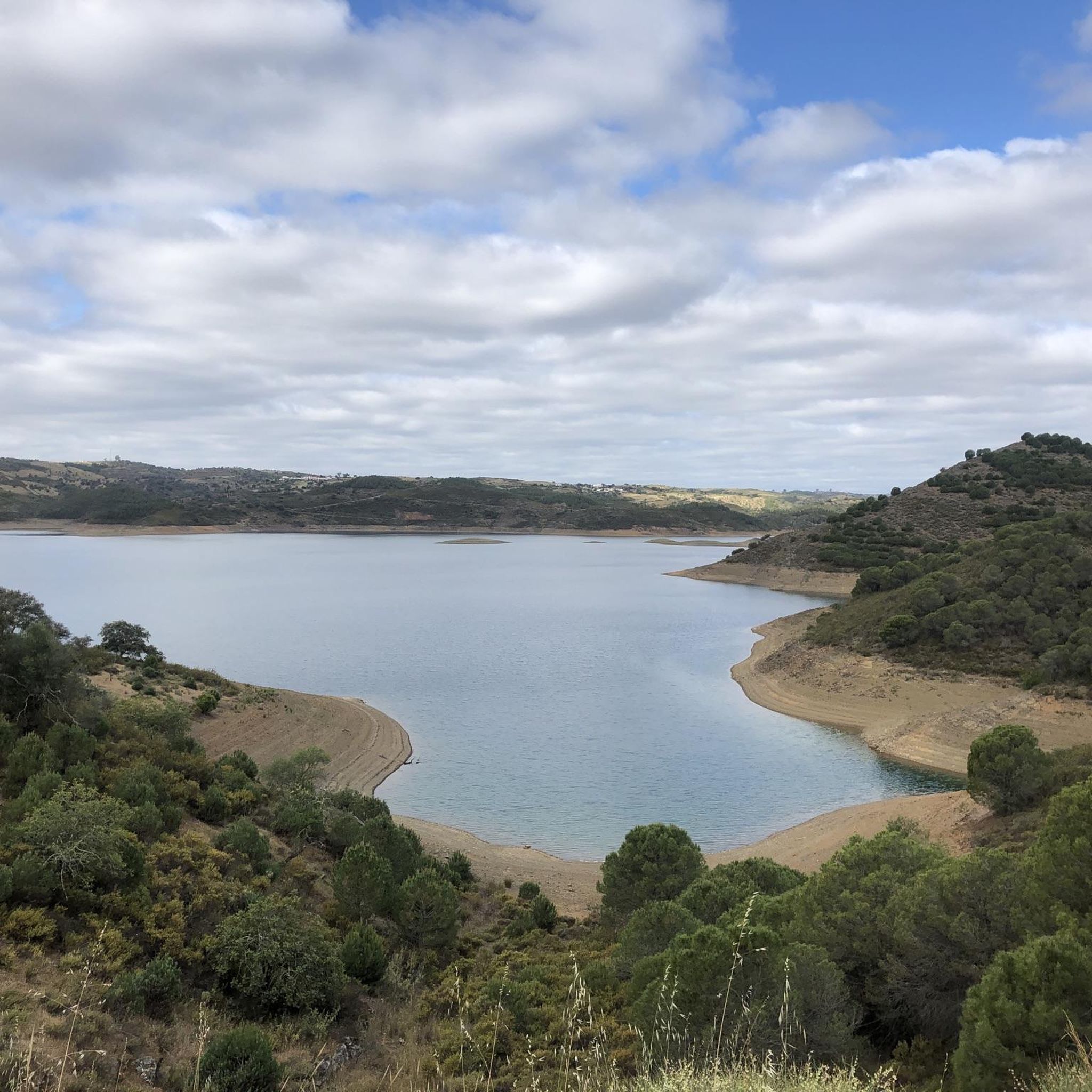
The descent from the other side of the dam should be considered OFF-ROAD as it is falling apart… The view of the dam from this side is great…
0
0


In 1876, an unprecedented flood of the Guadiana River revealed previously unknown ruins: the Roman Villa of Montinho das Laranjeiras. Founded in the 1st century BC, it was inhabited continuously until the end of the Islamic period, when it was finally abandoned. Its privileged position allowed trade along the river as far as Mértola and ensured the continuity of Roman, Visigothic, and Islamic occupation.
3
0
The River Museum reveals the soul of the Guadiana: its history, traditions, and the vital role it played in transporting ore. It also celebrates the region's natural and cultural heritage, from artisanal fishing to gastronomy, not forgetting the memories of smuggling during the Estado Novo. Among the exhibits, miniature replicas of the vessels that plied these waters until the 1960s stand out.
1
0

If you visit this reservoir, be sure to visit the other dam, Odeleite, a few kilometers further north, which is almost even more beautiful. At both dams you will find hiking trails, peace and quiet, and sleepy villages.
4
0

The reservoir is really beautiful. But I haven't seen a full lake here for years. The drought here is getting worse every year
0
0

Changing design of the roundabout...
1
0
Frequently Asked Questions
How many road cycling routes are available in Mata Nacional Das Terras Da Ordem?
There are 6 road cycling routes available in Mata Nacional Das Terras Da Ordem, offering a variety of experiences through its diverse landscapes.
What kind of terrain can I expect on road cycling routes in Mata Nacional Das Terras Da Ordem?
The terrain is generally sloping, with hills typically ranging from 300 to 400 meters in height, providing good opportunities for climbing. You'll cycle through Mediterranean vegetation, including stone pines, holm oaks, and carob trees, with more diverse flora near watercourses. The routes often utilize well-maintained secondary roads, winding through forests and farmlands.
Are there any challenging road cycling routes for experienced riders?
Yes, the region offers routes with significant elevation gain. For instance, the Odeleite Reservoir – View of the Guadiana River loop from Oliveira is a moderate route covering 36.0 miles (57.9 km) with over 850 meters of elevation gain. There is also one route classified as difficult among the total available.
What are some notable landmarks or natural features to see along the routes?
While cycling, you can enjoy views of the Odeleite and Beliche Dams and the Guadiana River. The area also features historic watermills like the recently restored Moinho de Água das Pernadas and Moinho de Água do Carvão, adding cultural interest to the natural scenery. The routes often pass through traditional villages and offer picturesque Mediterranean landscapes.
Is Mata Nacional Das Terras Da Ordem suitable for family road cycling?
The routes in Mata Nacional Das Terras Da Ordem are generally classified as moderate to difficult, with significant elevation changes. While there are no routes specifically designated as 'easy' in the guide data, families with older, experienced cycling members might find some of the moderate routes manageable, but they should be prepared for climbs.
What is the best time of year for road cycling in this region?
The broader Algarve region, where Mata Nacional Das Terras Da Ordem is located, is known for its favorable climate for cycling year-round, with numerous sunny days. Spring and autumn generally offer the most comfortable temperatures for road cycling, avoiding the peak heat of summer while still enjoying pleasant weather.
Are there circular road cycling routes available?
Yes, many of the routes in Mata Nacional Das Terras Da Ordem are designed as loops. Examples include the Odeleite Reservoir – Castelo de Alcoutim loop from Odeleite and the View of the Odeleite Dam loop from Odeleite, allowing you to start and finish at the same point.
Where can I park when visiting Mata Nacional Das Terras Da Ordem for road cycling?
While specific parking areas are not detailed for each route, the routes often start from villages like Odeleite or Oliveira. These smaller communities typically offer public parking options, though it's advisable to check local signage upon arrival.
What do other cyclists say about road cycling in Mata Nacional Das Terras Da Ordem?
The road cycling routes in Mata Nacional Das Terras Da Ordem are highly rated by the komoot community, with an average score of 4.7 stars from 5 reviews. Cyclists often praise the varied terrain, the scenic views of reservoirs and rivers, and the tranquil environment for outdoor sports.
What is the typical length and elevation gain of routes in the area?
The road cycling routes in Mata Nacional Das Terras Da Ordem vary in length, with routes like the Odeleite Village – View of the Beliche Dam loop from Odeleite covering 51.5 km with 875 meters of elevation gain, and the Odeleite Reservoir – View of the Odeleite Dam loop from Furnazinhas covering 52.5 km with 750 meters of elevation gain. Most routes are moderate and offer significant climbing.
Most popular routes in Mata Nacional Das Terras Da Ordem

Get inspired with the komoot mobile app


Explore more
Browse the best Road cycling routes in other regions.
