The best cycling routes in Cantiere Forestale Cea Romana Villasalto
4.5
(13)
123
riders
7
rides
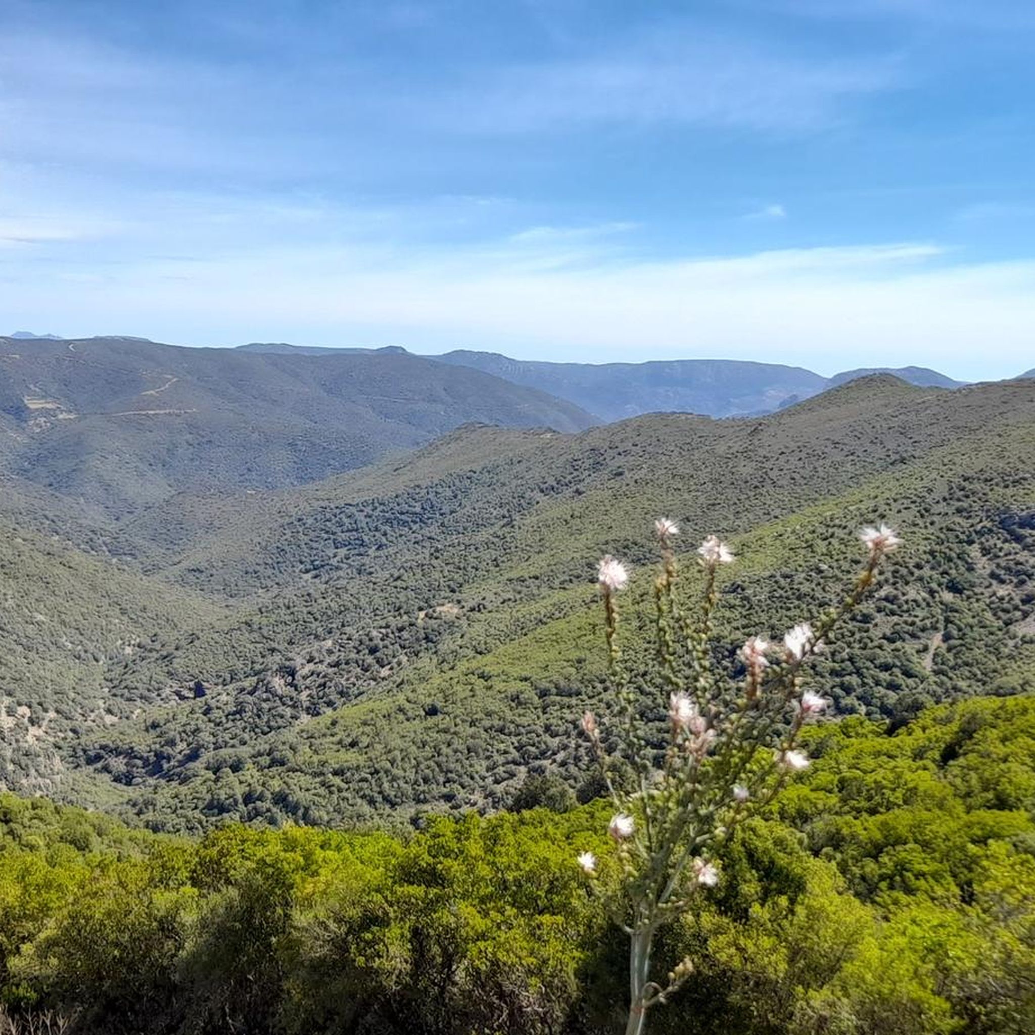
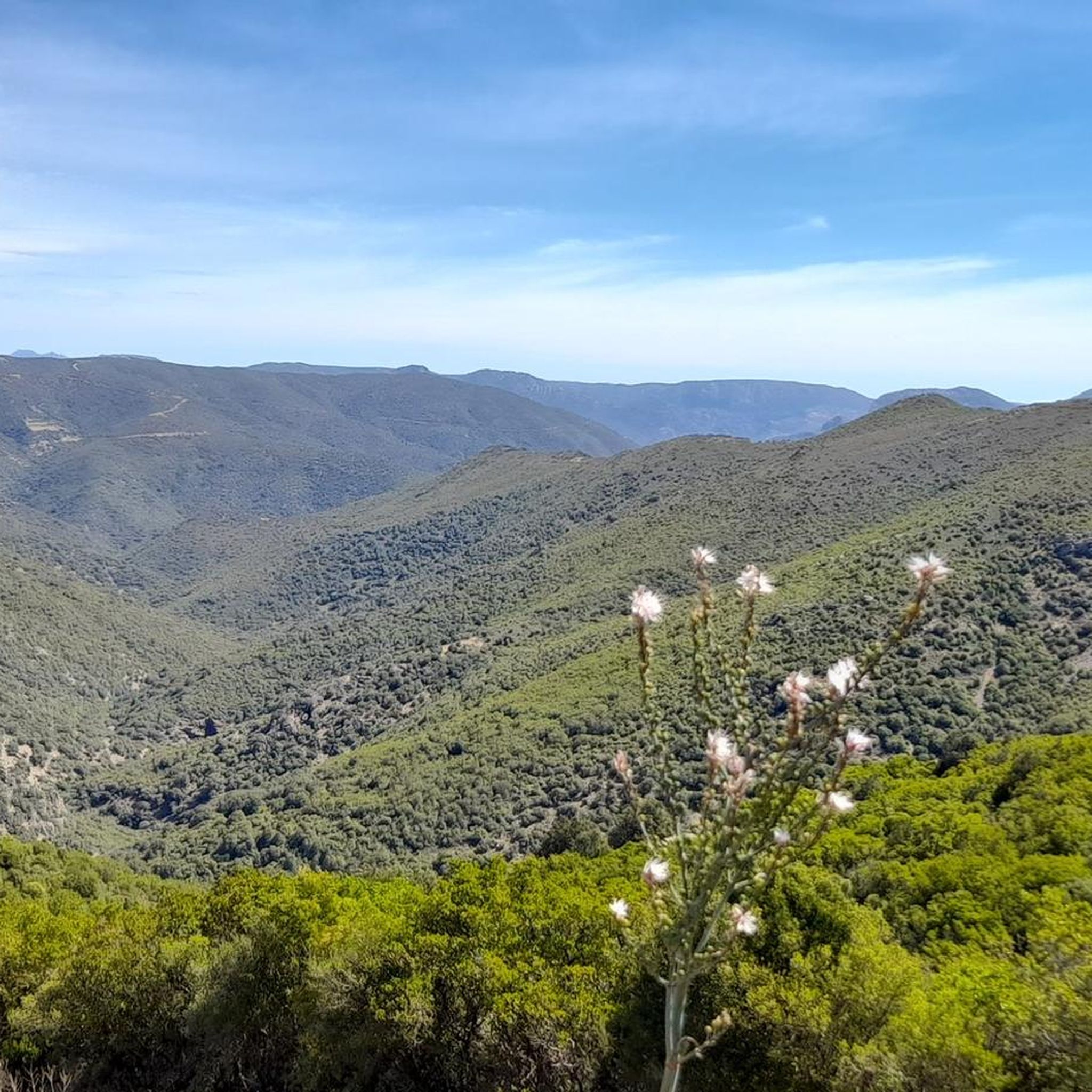
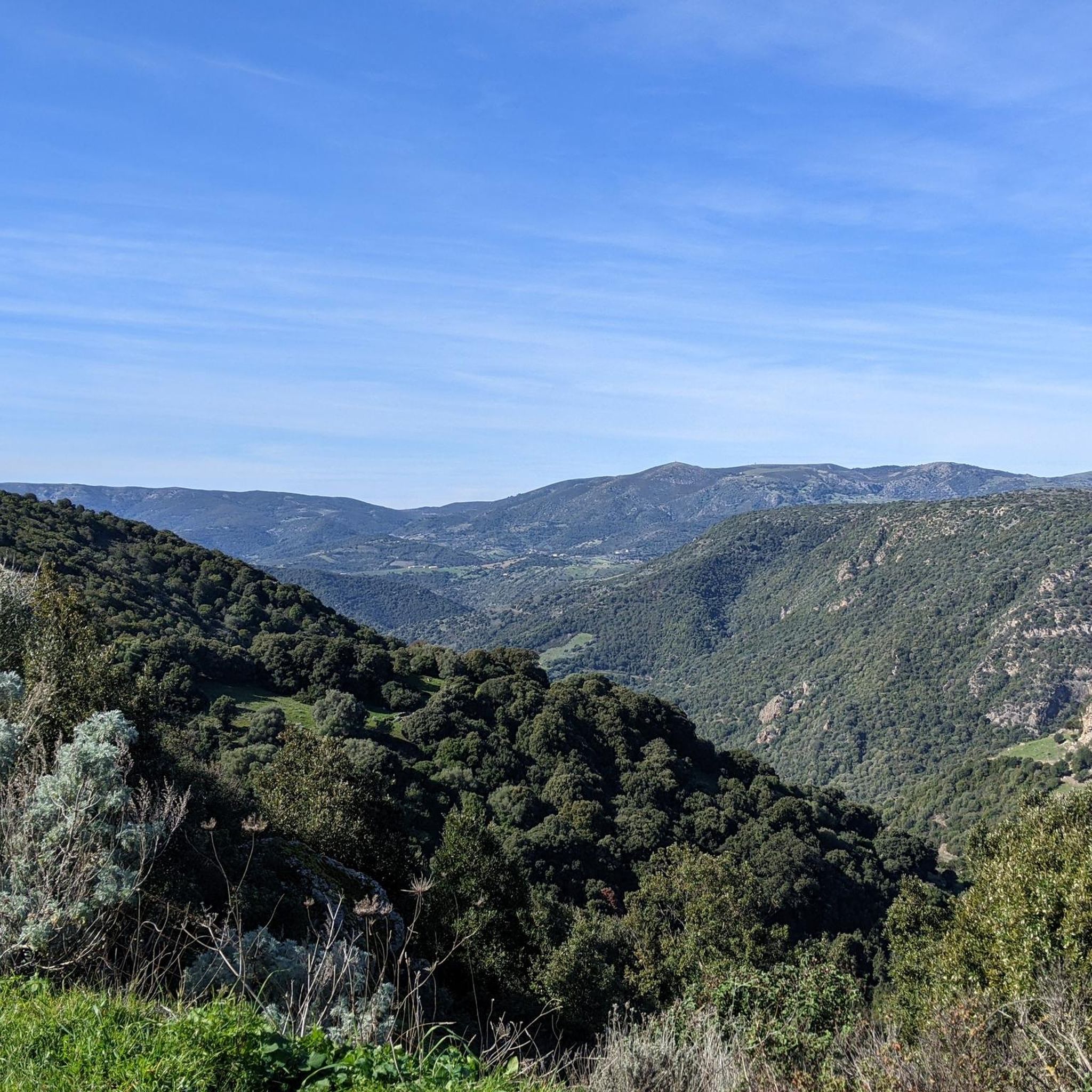
Cantiere Forestale Cea Romana Villasalto cycling routes traverse a diverse landscape characterized by an undulating plateau, steep ascents, and deep ravines. The region features granite slopes and extensive holm oak woods, offering varied terrain for touring cyclists. Expansive panoramas of the northern Tacchi d'Ogliastra and the Gennargentu mountain range are visible from various points, alongside views of the Flumendosa valley.
Best touring cycling routes in Cantiere Forestale Cea Romana Villasalto
- The most popular touring cycling route is Bike loop from…
Last updated: November 21, 2026
4
riders
34.2km
03:30
820m
820m
Hard bike ride. Very good fitness required. Mostly paved surfaces.
2
riders
16.0km
01:40
440m
440m
Moderate bike ride. Good fitness required. Mostly paved surfaces.

3.0
(1)
11
riders
66.7km
04:30
1,080m
1,080m
Hard bike ride. Very good fitness required. Mostly paved surfaces.
5.0
(1)
2
riders
17.5km
01:36
350m
350m
Moderate bike ride. Good fitness required. Mostly paved surfaces.
5
riders
41.2km
04:29
1,170m
1,170m
Hard bike ride. Very good fitness required. Mostly paved surfaces.
Get access to more routes and recommendations from other explorers.
Already have an account?
Our route recommendations are based on thousands of hikes, rides, and runs completed by other people on komoot.
Start today with a free account
Your next adventure awaits.

Tips from the Community

This is a very popular place for locals. In August, the patron saint is celebrated.
0
0

Country town inhabited by less than a thousand people. Not far from here is the Su Suergiu mine, since it was abandoned in the 80s the town has gradually become depopulated. There is a cart used to transport minerals still on display in the town centre.
0
0
Beautiful winding road that leads (uphill) to Villasalto, vice versa it will be a fun descent!
0
0

Amazing place for lunch, or to shelter from the wind, or to fill up on water, or to do it all!
0
0
A nice, smooth and less steep shortcut for the official TranSardinia route.
0
0
Frequently Asked Questions
What kind of terrain can I expect on touring cycling routes in Cantiere Forestale Cea Romana Villasalto?
The region offers a diverse and challenging landscape for touring cyclists. You'll encounter an undulating plateau, steep ascents, and deep ravines. The terrain features granite slopes and extensive holm oak woods. From various points, you can enjoy expansive panoramas of the northern Tacchi d'Ogliastra, the Gennargentu mountain range, and the Flumendosa valley.
Are there any easy or beginner-friendly touring cycling routes in the area?
While many routes feature significant elevation gain, there are options for varying skill levels. For a moderate ride, consider the Vascone Perda de Allau loop from Santu Idu/San Vito, which covers 11.1 miles (17.9 km) and offers a balanced ride through the natural features without extreme difficulty.
What are some of the more challenging touring cycling routes available?
For experienced touring cyclists seeking a challenge, routes like the Bike loop from Monte Carradeddu (20.5 miles / 33.1 km with significant elevation) or the San Nicolò Gerrei loop from Pauli Gerrei/San Nicolò Gerrei (25.6 miles / 41.3 km with over 1100m elevation gain) offer demanding rides through undulating landscapes.
Are there any circular touring cycling routes in Cantiere Forestale Cea Romana Villasalto?
Yes, several routes are designed as loops, allowing you to start and end in the same location. Examples include the Bike loop from Monte Carradeddu and the Vascone Perda de Allau loop from Santu Idu/San Vito. Another option is the Arcu e Tidu Climb – Giants' Tomb of Is Concias loop from Brucei/Burcei, which is a longer and more difficult circular tour.
What historical or natural attractions can I see along the touring cycling routes?
The region is rich in history and natural beauty. You can explore the remains of a Roman necropolis and ancient village at Cea Romana, or discover the area's mining heritage, including the Su Suergiu mine. Ancient Sardinian megalithic structures called Nuraghi, such as Nuraghe Serra Medau and Nuraghe Serra Madau, are also dotted across the landscape. Nature enthusiasts can look out for the deer colony in the Monte Arrubiu forest and mouflons in the Mount Genis fauna oasis.
What is the best season for touring cycling in Cantiere Forestale Cea Romana Villasalto?
The diverse landscape with its holm oak woods and granite slopes can be enjoyed across multiple seasons. Spring and autumn generally offer pleasant temperatures for cycling, avoiding the peak heat of summer. These seasons also provide beautiful natural scenery as the flora changes.
Are there any family-friendly touring cycling options in the area?
While many routes involve significant climbs, the region does offer varied terrain. For families, it's advisable to look for shorter, less steep sections or consider the moderate-difficulty routes. Educational trails within the state-owned forests also provide opportunities for environmental learning alongside recreational activities, which can be suitable for families.
Can I find places to eat or drink near the cycling routes?
Villasalto and surrounding villages offer amenities such as cafes, pubs, and restaurants where cyclists can refuel and relax. It's a good idea to plan your route to pass through these towns or carry sufficient provisions, especially on longer or more remote sections.
What do other touring cyclists say about the routes in Cantiere Forestale Cea Romana Villasalto?
The touring cycling routes in Cantiere Forestale Cea Romana Villasalto are highly rated by the komoot community, with an average score of 4.3 stars from over 25 reviews. Cyclists often praise the challenging climbs, the stunning panoramic views of the Gennargentu mountain range and Flumendosa valley, and the unique blend of natural beauty and historical sites.
Is there public transport access to the touring cycling routes?
While specific public transport links directly to trailheads might be limited, Villasalto and nearby towns serve as access points. It's recommended to research local bus services or other regional transport options that might connect to the starting points of the routes. Parking facilities are generally available in these towns for those arriving by car.
Are there any specific rules or considerations for dog-friendly touring cycling routes?
The region features natural areas like the Monte Arrubiu forest, home to a deer colony, and Mount Genis, a fauna oasis for mouflons. When cycling with dogs, it's crucial to keep them under control, preferably on a leash, to protect local wildlife and ensure their safety. Always check for specific local regulations regarding dogs in protected areas or state-owned forests.
What should I pack for a touring cycling trip in Cantiere Forestale Cea Romana Villasalto?
Given the varied terrain, including steep ascents and potentially remote sections, it's advisable to pack essentials such as sufficient water, snacks, a repair kit for your bike, and appropriate clothing layers for changing weather conditions. A helmet is always recommended. If you plan to explore historical sites, a headlamp might be useful for darker areas like mines or Nuraghi.
Most popular routes in Cantiere Forestale Cea Romana Villasalto

Get inspired with the komoot mobile app


Explore more
Browse the best Cycling routes in other regions.
