The best road cycling routes in Forêt Territoriale De Tova
4.8
(86)
1,840
riders
30
rides
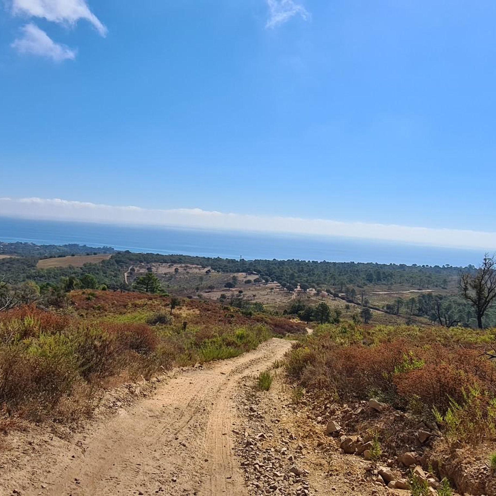
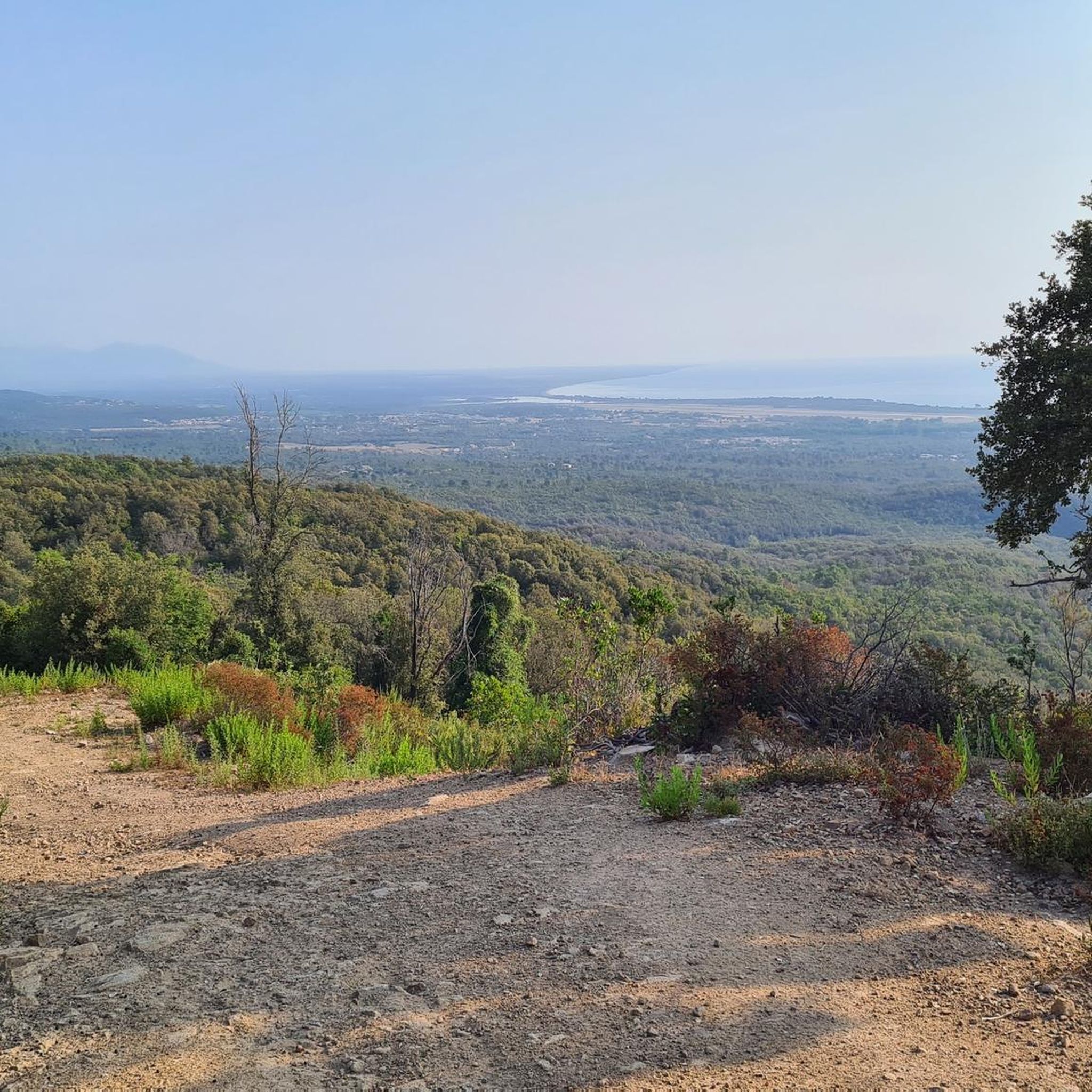
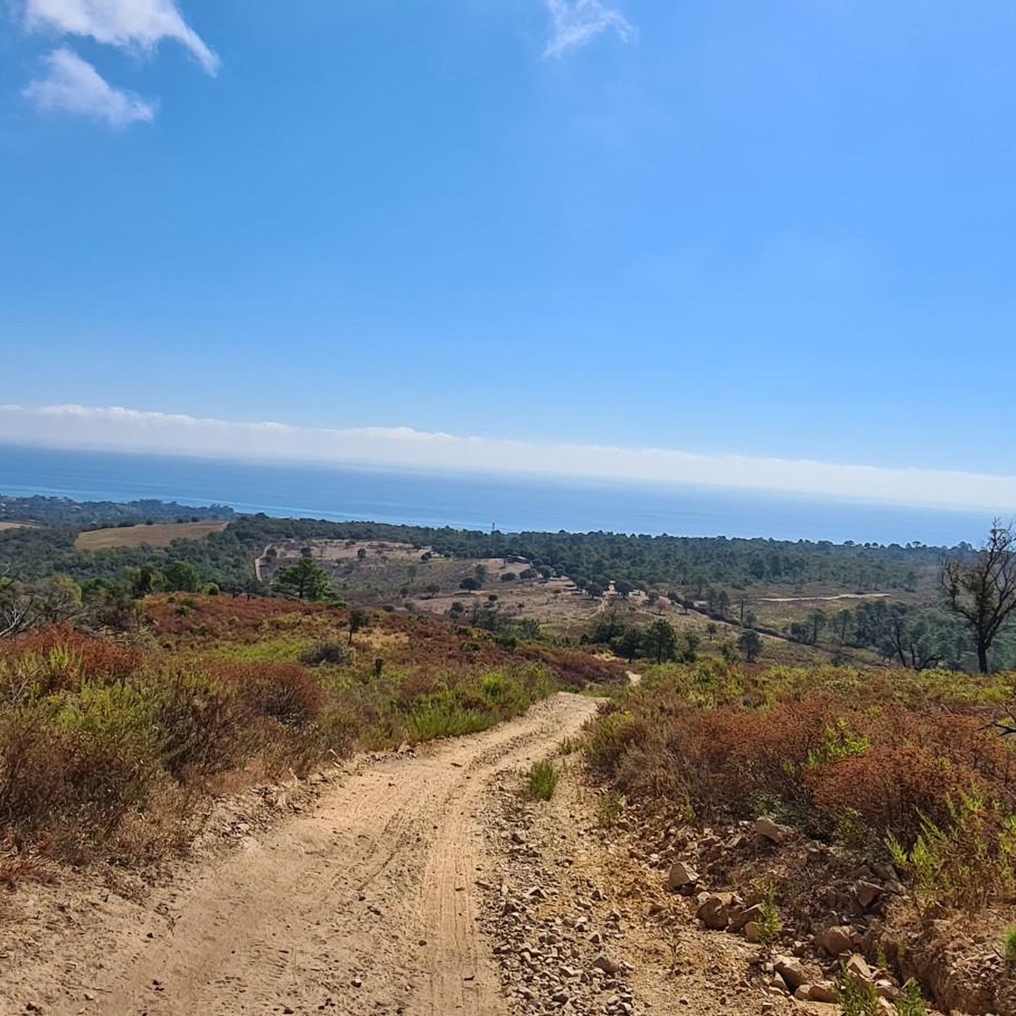
Road cycling in Forêt Territoriale De Tova, located in Haute-Corse, Corsica, offers varied terrain across altitudes ranging from 480 to 1335 meters. The region is characterized by extensive wooded areas, including green oak, maritime pine, and Corsican pine, providing diverse scenery. Cyclists can expect significant elevation changes and mountainous backdrops, with routes often leading to panoramic views. This natural area is part of a regional park, ensuring a preserved environment for road cycling.
Best road cycling routes in Forêt Territoriale De Tova
- The most popular road cycling route is Bavella Pass – View from Col de Bavella loop from Sole di Sari, a 58.2 miles (93.7 km) trail that takes 5 hours 38 minutes to complete. This difficult route features challenging ascents towards the Col de Bavella, offering extensive views of the Aiguilles de Bavella massif.
- Another top favourite among local road cyclists is Roadbike loop from Chiola, a moderate 23.0 miles (37.0 km) path. This route navigates through varied terrain and scenic forest sections, providing a balanced road cycling experience.
- Local road cyclists also love the Viewpoint of Sari-Solenzara loop from Chiola, a 14.9 miles (24.0 km) trail leading through diverse forest ecosystems, often completed in about 1 hour 14 minutes.
- Road cycling in Forêt Territoriale De Tova is defined by diverse forest ecosystems, mountainous terrain, and panoramic views. The network offers options for different ability levels, from moderate loops to challenging mountain passes.
- The routes in Forêt Territoriale De Tova are highly rated by the komoot community with an average score of 4.8 stars from over 120 reviews. More than 2,000 road cyclists have used komoot to explore Forêt Territoriale De Tova's varied terrain.
Last updated: May 16, 2026
5.0
(1)
24
riders
24.0km
01:15
430m
430m
Moderate road ride. Good fitness required. Mostly well-paved surfaces and easy to ride.
5.0
(2)
14
riders
31.8km
01:39
570m
570m
Moderate road ride. Good fitness required. Mostly well-paved surfaces and easy to ride.

Sign up for free
5.0
(3)
11
riders
25.4km
01:08
280m
280m
Easy road ride. Great for any fitness level. Mostly well-paved surfaces and easy to ride.
7
riders
10.8km
00:27
70m
70m
Easy road ride. Great for any fitness level. Mostly well-paved surfaces and easy to ride.
4.9
(21)
484
riders
61.3km
03:52
1,740m
1,740m
Hard road ride. Very good fitness required. Mostly well-paved surfaces and easy to ride.
Get access to more routes and recommendations from other explorers.
Sign up for free
Already have an account?
Our route recommendations are based on thousands of hikes, rides, and runs completed by other people on komoot.
Start today with a free account
Your next adventure awaits.
Login or Signup
Popular around Forêt Territoriale De Tova

Tips from the Community

From Solenzara. Be careful to get there early! Lots of people at the top and many restaurants
0
0

Located south of the Aiguilles de Bavella, the pass is one of the four great passes of Corsica. Emblematic passage of the GR 20, it has many accommodation and catering solutions, but above all exceptional viewpoints!
0
0

Beautiful view when climbing the Col de Bavella which offers incredible panoramas all along!
1
0
A round trip to go to Chisa on a very beautiful little road winding between the mountains and Corsican rivers!
0
0

The massif of Bavella and its famous needles are located in the heart of the Alta Rocca region and peak at more than 1,899 meters. The Bavella pass, meanwhile, is 1,218 meters above sea level. The road that leads to the pass, when there are no clouds, offers one of the most beautiful panoramas of Corsica. Here the nickname of the island of beauty given to Corsica takes on its full meaning.
1
1

Nice view at the ascent of the Col de Bavella.
1
0

Col de la Bavella - the highlight of my Corsica tour. Long, but simple west driveway with moderate slopes, very varied landscape, partly total solitude, partly moderate tourism (Zonza). At some point the peaks of the mountains appear, you feel in the Dolomites. At the top of the pass a lot of bustle, but little traffic on the relatively steep east - exit to Solenzara. Solenzara is ok, have experienced worse in Corsica on the coast. Beautiful beach.
2
0

One of the classics in Corsica where every tourist should visit at least once. I think it's easier to drive from Zonsa than from Solenzara. What really adds to the appeal is the Offenbacher sticker on the sign at the pass. June 6, 2025 Someone stole the Offenbacher sticker 🤣
2
0
Frequently Asked Questions
How many road cycling routes are available in Forêt Territoriale De Tova, and what are their difficulty levels?
Forêt Territoriale De Tova offers over 30 road cycling routes. These include 6 easy routes, 15 moderate routes, and 11 difficult routes, catering to a wide range of cycling abilities.
What kind of terrain and elevation can I expect when road cycling in Forêt Territoriale De Tova?
The region features diverse terrain with altitudes ranging from 480 to 1335 meters. Cyclists can expect significant elevation changes, mountainous backdrops, and routes winding through varied forest ecosystems, including green oak, maritime pine, and Corsican pine.
What are some notable landmarks or viewpoints to look out for on road cycling routes in the region?
Many routes offer panoramic views, especially towards the dramatic Aiguilles de Bavella massif. The Bavella Pass – View from Col de Bavella loop from Sole di Sari specifically highlights the stunning vistas from Col de Bavella. You'll also encounter picturesque sections like the scenic road through the pine and fern forest.
What is the best time of year for road cycling in Forêt Territoriale De Tova?
The region offers pleasant conditions for cycling outside the peak summer season. Spring and autumn generally provide comfortable temperatures and vibrant scenery. While the forest offers refreshing and peaceful spots even in summer, these seasons might be less crowded and more enjoyable for longer rides.
Are there any family-friendly road cycling routes in Forêt Territoriale De Tova?
Yes, among the 32 available routes, there are 6 classified as easy, which can be suitable for families looking for less strenuous rides. These routes often navigate through tranquil forest sections, providing a pleasant experience for all.
Can I find circular road cycling routes in Forêt Territoriale De Tova?
Yes, many of the routes in Forêt Territoriale De Tova are designed as loops. For example, the Roadbike loop from Chiola is a moderate 37 km path, and the Viewpoint of Sari-Solenzara loop from Chiola is a shorter 24 km option, both offering a complete circular experience.
What do other road cyclists enjoy most about road cycling in Forêt Territoriale De Tova?
The area is highly rated by the komoot community, with an average score of 4.8 stars from over 120 reviews. Cyclists often praise the diverse forest ecosystems, the challenging mountainous terrain, and the rewarding panoramic views, particularly towards the Aiguilles de Bavella massif.
Are there any particularly challenging road cycling routes for experienced riders?
Absolutely. The region is known for its significant elevation changes. A prime example is the Bavella Pass – View from Col de Bavella loop from Sole di Sari, a difficult 93.7 km route with over 2,400 meters of elevation gain, featuring challenging ascents towards the Col de Bavella.
Are there options for shorter, moderate road cycling tours?
Yes, for those seeking a balanced experience, the Roadbike loop from Chiola is a popular moderate 37 km path that navigates through varied terrain and scenic forest sections, typically taking around 3 hours 40 minutes to complete.
Where can I find parking facilities for road cycling in Forêt Territoriale De Tova?
While specific parking areas are not detailed for every route, starting points for many tours, such as those near Sole di Sari or Chiola, often have accessible parking. It's advisable to check the individual route descriptions on komoot for more precise parking information near your chosen starting point.
Are there any cafes or accommodation options near the road cycling routes?
The region, particularly around villages like Solaro and near the Col de Bavella, offers various facilities. While specific cafes and accommodations are not listed for every route, you can find options for picnicking within the forest, and nearby towns will provide services for cyclists.
What is the typical length and duration of road cycling routes in this area?
Route lengths vary significantly. You can find shorter options like the Viewpoint of Sari-Solenzara loop from Chiola, which is 24 km and takes about 1 hour 14 minutes, up to extensive tours like the Bavella Pass – View from Col de Bavella loop from Sole di Sari, which is 93.7 km and typically takes over 5 hours.
Most popular routes in Forêt Territoriale De Tova

Get inspired with the komoot mobile app


Explore more
Browse the best Road cycling routes in other regions.
