The best running trails in Forêt De Pineto
3.8
(7)
191
runners
5
runs
Jogging in Forêt De Pineto offers routes through a significant forest massif in Haute-Corse, France. This area spans 160 hectares with altitudes ranging from 340m to 810m. The terrain is characterized by maritime pine, arbousier, and Arizona cypress, providing a natural forested environment. It is recognized for its ecological importance as a Natural Zone of Ecological, Faunistic, and Floristic Interest.
Best jogging routes in Forêt De Pineto
- The most popular jogging route is Running loop from Camping Campita, a…
Last updated: July 12, 2026
8
runners
11.1km
01:27
330m
330m
Hard run. Very good fitness required. Mostly paved surfaces. Suitable for all skill levels.
4
runners
10.8km
01:24
310m
310m
Hard run. Very good fitness required. Mostly paved surfaces. Suitable for all skill levels.

Sign up for free
71
runners
11.3km
01:40
530m
530m
Hard run. Very good fitness required. Sure-footedness, sturdy shoes and alpine experience required.
21
runners
Moderate run. Good fitness required. Mostly paved surfaces. Suitable for all skill levels.
10
runners
Moderate run. Good fitness required. Mostly paved surfaces. Suitable for all skill levels.
Our route recommendations are based on thousands of hikes, rides, and runs completed by other people on komoot.
Start today with a free account
Your next adventure awaits.
Login or Signup
Popular around Forêt De Pineto
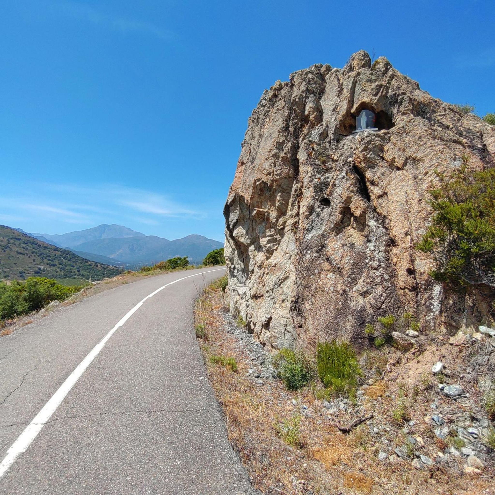
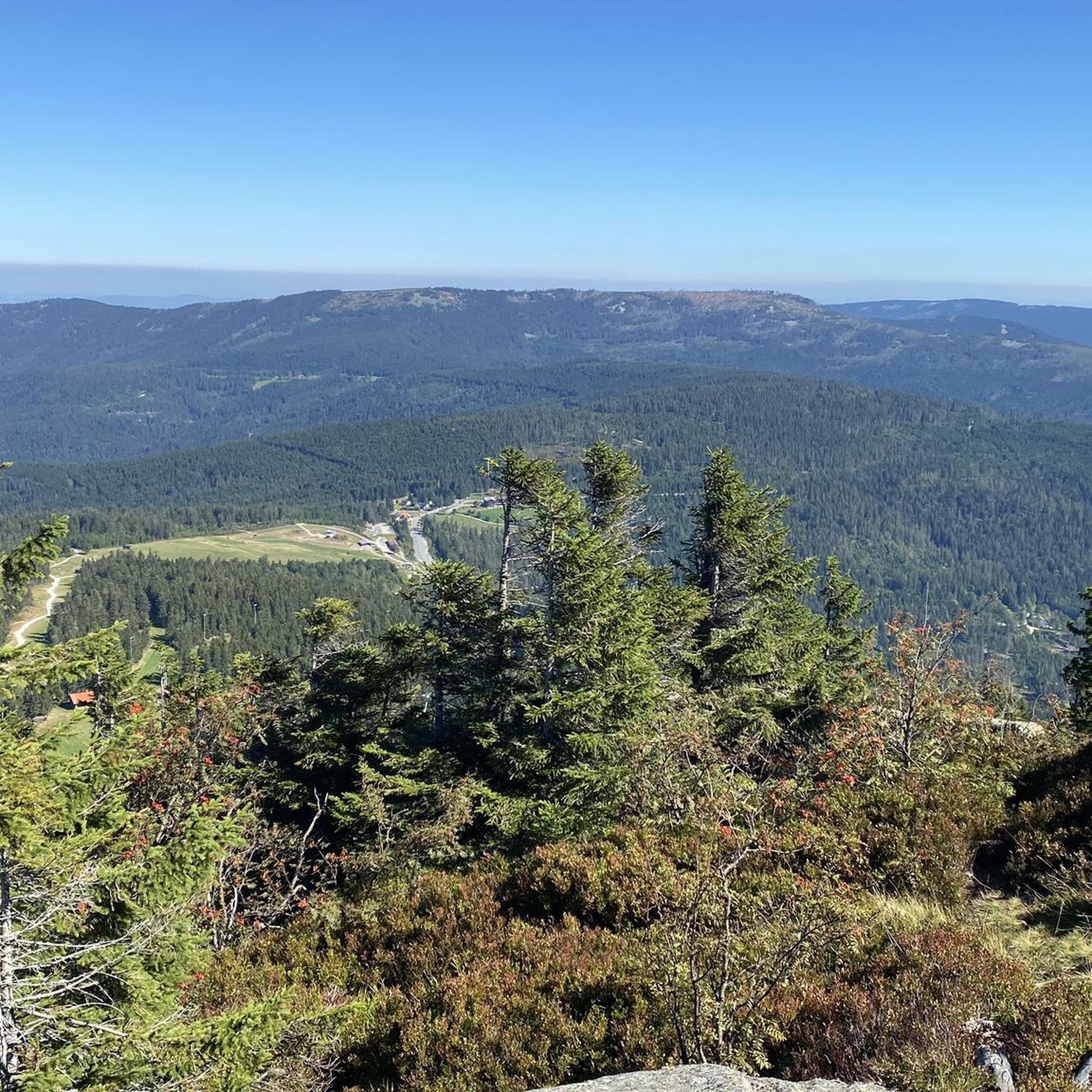
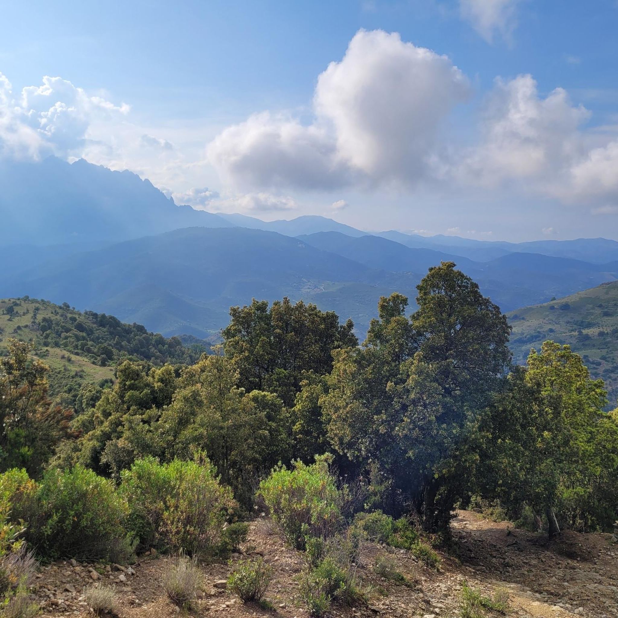

Tips from the Community

Pleasantly warm and yet wonderfully refreshing. 🏊🏼♂️
0
0

Access via a campsite. But it is also possible from the outside.
0
0

From here take another run-up and you're already up!
1
1

The ravine with the typical Corsican rock walls, which are shaped and perforated by wind and rain, shimmering reddish.
2
0
Frequently Asked Questions
What kind of terrain can I expect when running in Forêt De Pineto?
Forêt De Pineto, located in Haute-Corse, France, is a significant forest massif characterized by maritime pine, arbousier, and Arizona cypress. The terrain varies, with altitudes ranging from 340m to 810m, offering a natural forested environment. You'll find a mix of paths, from moderate forest trails to more challenging routes with significant elevation changes.
How many running routes are available in Forêt De Pineto?
There are 5 dedicated running routes available in Forêt De Pineto. These routes offer a variety of experiences, from moderate forest paths to more challenging trails with considerable elevation gain.
Are there any challenging running routes for experienced runners?
Yes, Forêt De Pineto offers several challenging routes. For instance, the Running loop from Camping Campita is a difficult 11.1 km (6.9 miles) trail with an elevation gain of 331 meters (1085 feet). Another difficult option is the Mount San Petrone loop from La Porta, which is 12.9 km (8 miles) with a substantial 716 meters (2348 feet) of elevation gain.
What do other runners think about the trails in Forêt De Pineto?
The running routes in Forêt De Pineto are highly rated by the komoot community, with an average score of 3.75 stars from over 7 reviews. More than 180 runners have used komoot to explore the varied terrain, often praising the natural forested environment and the diverse options for different ability levels.
Are there any moderate running trails suitable for a less intense workout?
Absolutely. For a moderate workout, consider the Bathing area by the bridge – Asco Gorges loop from Réserve biologique dirigée de Valdo. This 12.8 km (7.9 miles) path leads through the scenic Asco Gorges with varied terrain, offering a rewarding experience without extreme difficulty. Another moderate option is the Bathing area by the bridge – Badegumpe zum Bahnen ziehen loop from Réserve biologique dirigée de Valdo, a shorter 5.1 km (3.2 miles) trail through forested areas near the river.
What are the typical distances of running routes in Forêt De Pineto?
The running routes in Forêt De Pineto vary in length. You can find shorter trails around 5 km (3.2 miles), such as the Bathing area by the bridge – Badegumpe zum Bahnen ziehen loop from Réserve biologique dirigée de Valdo, up to longer routes of about 12-13 km (7.5-8 miles), like the Mount San Petrone loop from La Porta.
Is Forêt De Pineto suitable for trail running?
Yes, Forêt De Pineto is well-suited for trail running. Its varied altitudes, ranging from 340m to 810m, and natural forested environment provide diverse terrain. You'll find paths that cater to different skill levels, from moderate forest trails to more technical routes with significant elevation changes, perfect for trail enthusiasts.
Are there any routes that pass by water features or gorges?
Yes, the Bathing area by the bridge – Asco Gorges loop from Réserve biologique dirigée de Valdo is a popular moderate route that leads through the scenic Asco Gorges. Additionally, the Bathing area by the bridge – Badegumpe zum Bahnen ziehen loop from Réserve biologique dirigée de Valdo follows forested areas near a river, offering pleasant views and sounds of water.
What kind of natural features define Forêt De Pineto?
Forêt De Pineto is a significant forest massif in Haute-Corse, France, covering 160 hectares. It is characterized by a rich variety of tree species, including maritime pine, arbousier, and Arizona cypress. The forest is also recognized for its ecological importance as a Natural Zone of Ecological, Faunistic, and Floristic Interest, indicating a vibrant natural setting for your run.
Can I find routes with significant elevation for a good climbing workout?
Certainly. If you're looking for a challenging climb, the Mount San Petrone loop from La Porta is an excellent choice. This difficult 12.9 km (8 miles) route features a substantial elevation gain of 716 meters (2348 feet), providing a rigorous workout. Another option is the Running loop from Camping Campita, with 331 meters (1085 feet) of elevation gain over 11.1 km (6.9 miles).
Are there any circular running routes in Forêt De Pineto?
Yes, all the routes listed in the guide are circular, allowing you to start and finish at the same point. Examples include the Running loop from Camping Campita and the Bathing area by the bridge – Asco Gorges loop from Réserve biologique dirigée de Valdo, both designed for a continuous running experience.
Most popular routes in Forêt De Pineto

Get inspired with the komoot mobile app


Explore more
Browse the best Running Trails & Routes in other regions.
