The best walks and hikes in Forêt Domaniale De Sainte-Maxime
4.4
(1537)
12,284
hikers
261
hikes
Hiking trails in Forêt Domaniale De Sainte-Maxime traverse a landscape characterized by extensive pine forests and Mediterranean vegetation, offering a blend of coastal bluffs and secluded bays. The region provides diverse paths, from gentle loops to more challenging routes with significant elevation gain. Hikers can experience panoramic views of the Esterel and Maures massifs, as well as the Gulf of Saint-Tropez. This area is recognized for its ecological significance within the Natura 2000 network.
Best hiking trails in Forêt Domaniale…
Last updated: September 28, 2026
4.1
(18)
41
hikers
6.92km
02:02
190m
190m
Moderate hike. Good fitness required. Easily-accessible paths. Suitable for all skill levels.
4.0
(2)
42
hikers
9.20km
02:45
290m
290m
Moderate hike. Good fitness required. Easily-accessible paths. Suitable for all skill levels.

26
hikers
7.15km
02:12
270m
270m
Moderate hike. Good fitness required. Easily-accessible paths. Suitable for all skill levels.
5.0
(1)
33
hikers
5.50km
01:24
20m
20m
Easy hike. Great for any fitness level. Easily-accessible paths. Suitable for all skill levels.
4.0
(3)
16
hikers
Moderate hike. Good fitness required. Easily-accessible paths. Suitable for all skill levels.
Get access to more routes and recommendations from other explorers.
Already have an account?
Our route recommendations are based on thousands of hikes, rides, and runs completed by other people on komoot.
Start today with a free account
Your next adventure awaits.

Tips from the Community

This is not a bay, it's a Gulf...🤦
0
0


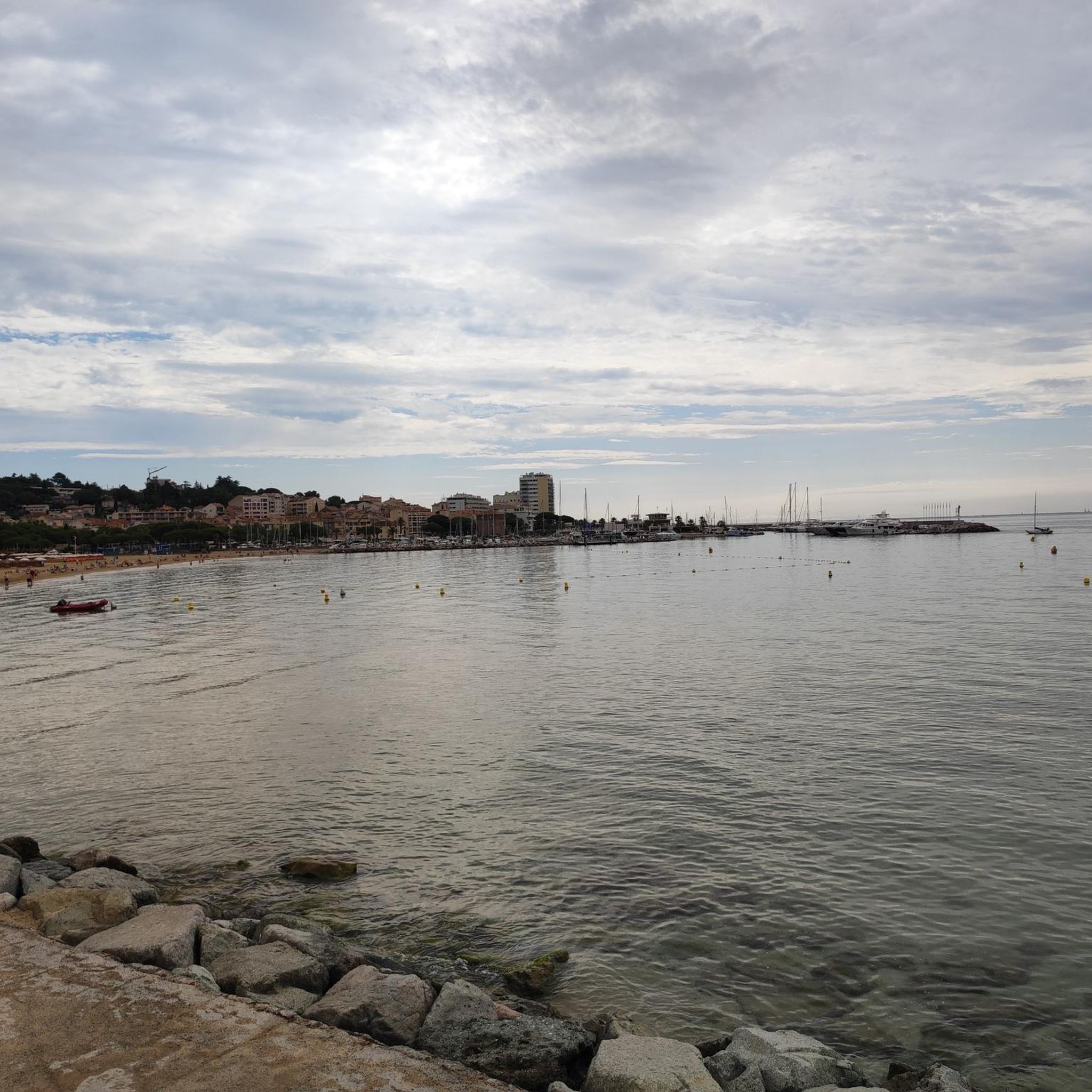
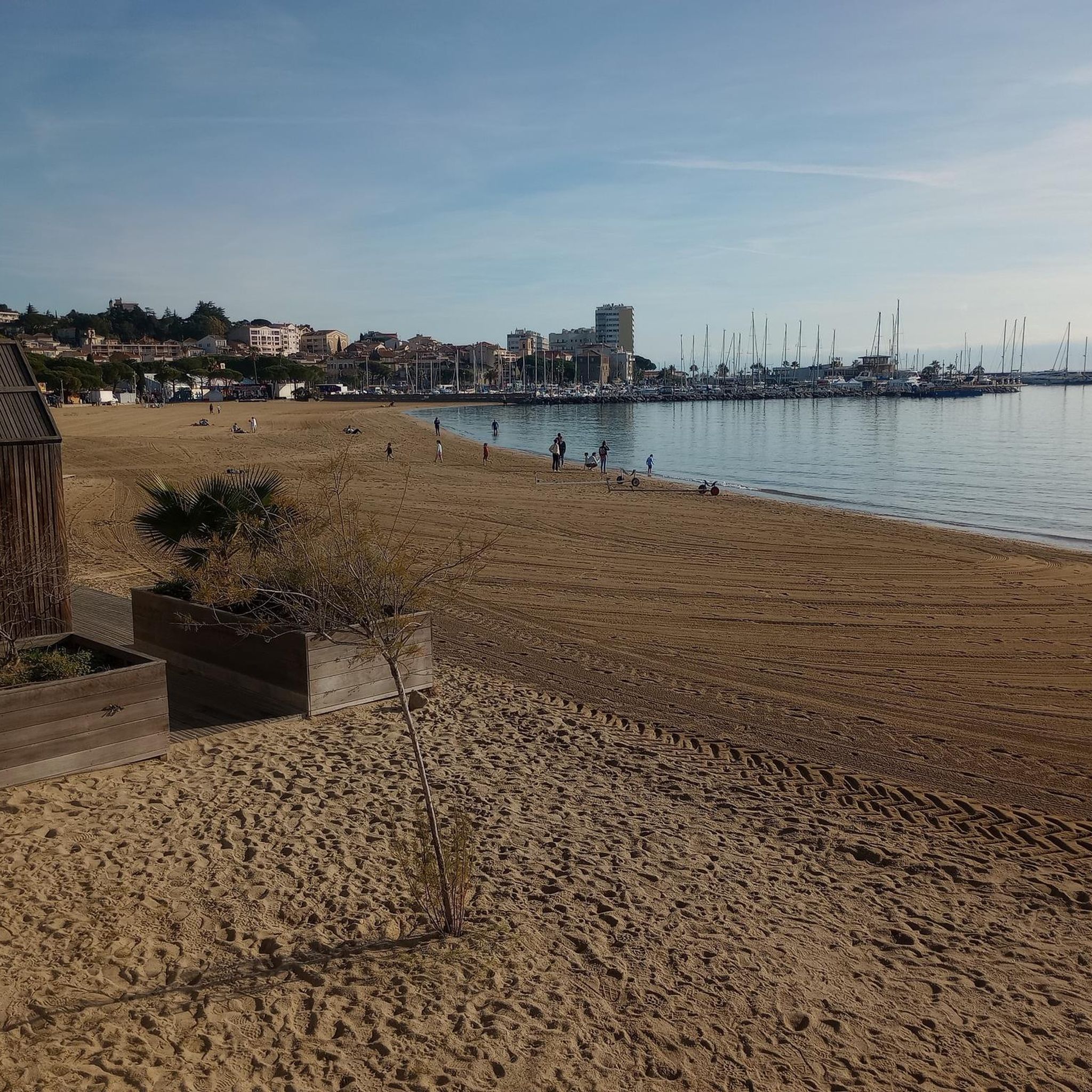
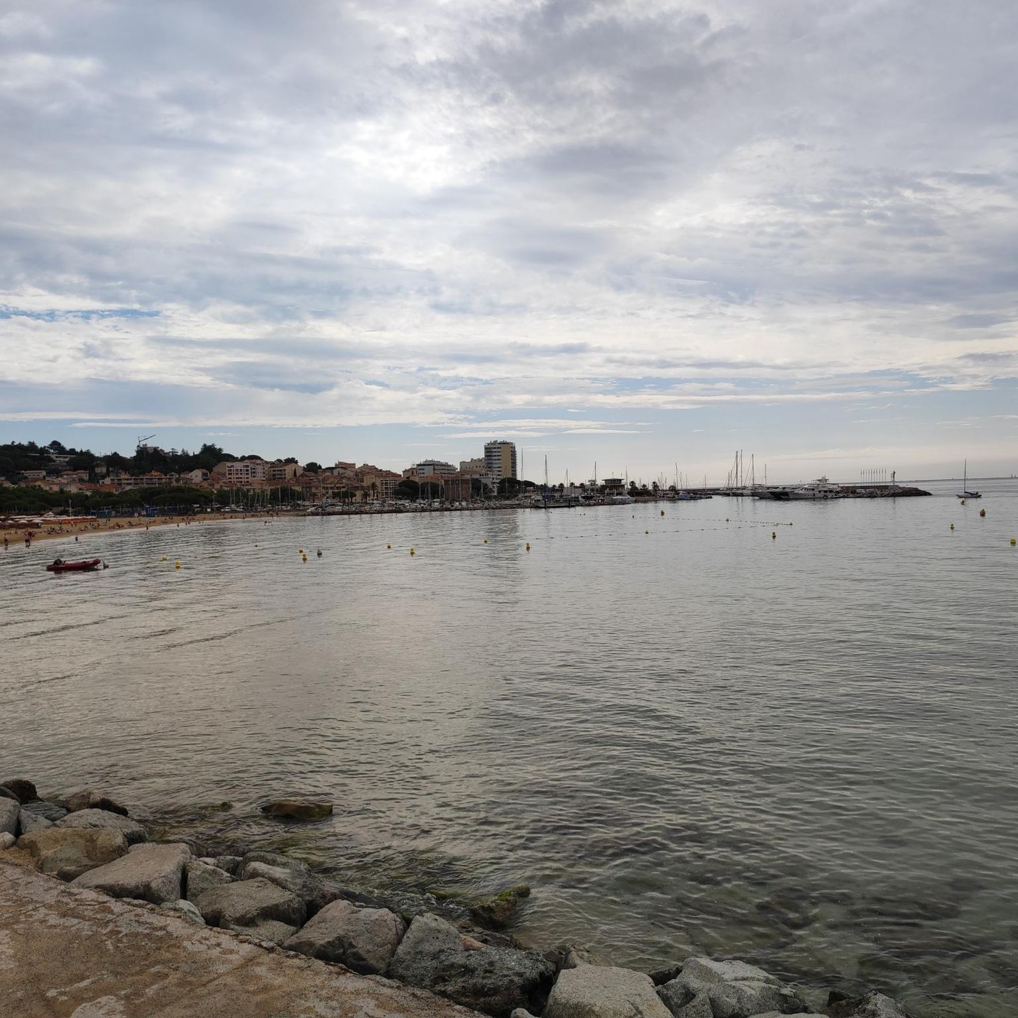
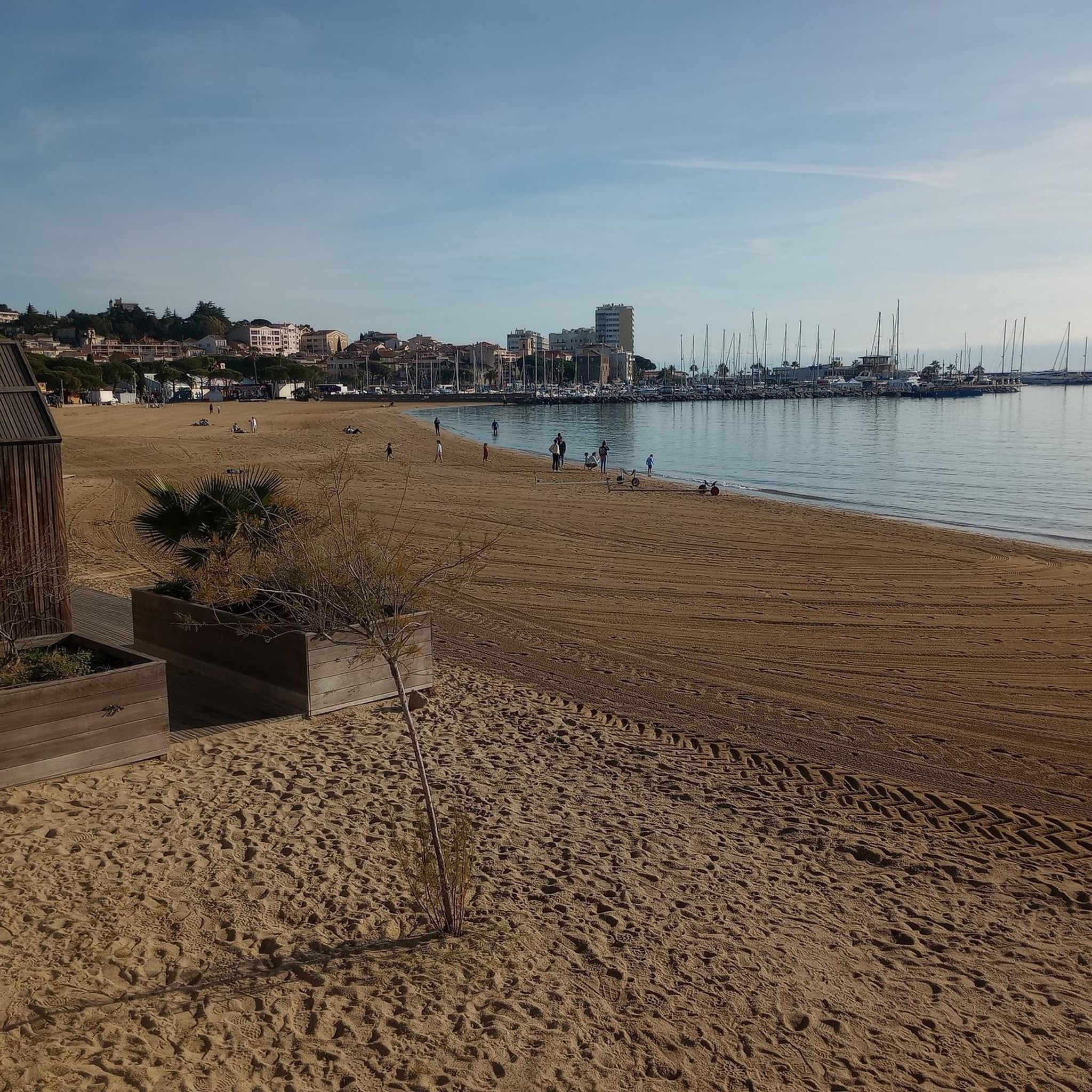
Very nice view of Sainte-Maxime.
0
0

The green boats travel between Sainte Maxime and Saint Tropez and vice versa. The price for an adult is 15 euros.
2
0
A beautiful place with a great harbor and numerous restaurants.
1
0
Very impressive from the outside.
1
0
Very beautiful harbor. Especially at sunset.
1
0
Frequently Asked Questions
How many hiking trails are available in Forêt Domaniale De Sainte-Maxime?
Forêt Domaniale De Sainte-Maxime offers a wide selection of hiking opportunities, with over 240 routes available. These range from easy strolls to more challenging treks, ensuring there's something for every hiker.
Are there easy trails suitable for beginners or families?
Yes, the area is very welcoming for beginners and families. There are over 130 easy routes, many of which are gentle loops. For a pleasant, accessible walk, consider the Port of Sainte-Maxime – Sainte-Maxime loop from Sainte-Maxime, which is 5.5 km with minimal elevation gain.
What kind of views can I expect on the trails?
Hikers are rewarded with stunning panoramic vistas. Many trails offer views of the majestic Esterel and Maures massifs, the picturesque Gulf of Saint-Tropez, and on clear days, even the distant Alps. The Colline du Sémaphore, for instance, provides an excellent vantage point.
Are there any circular walks in Forêt Domaniale De Sainte-Maxime?
Yes, many of the trails are designed as circular routes, allowing you to start and end at the same point. A popular moderate option is the Hiking loop from Twinner, which covers 6.9 km through varied forest terrain.
What is the best time of year to go hiking in this forest?
The region is enjoyable for hiking throughout much of the year. Spring and autumn offer pleasant temperatures and vibrant scenery. Summer can be warm, but the extensive pine forests provide welcome shade. Winter hiking is also possible, often with mild conditions.
Are dogs allowed on the hiking trails?
While specific regulations can vary, many trails in the Forêt Domaniale De Sainte-Maxime are generally dog-friendly, especially if kept on a leash. It's always advisable to check local signage or specific route details for any restrictions, particularly in protected areas.
What are some notable natural features or attractions to look out for?
Beyond the panoramic views, the forest boasts rich Mediterranean plant life, including arbutus, myrtle, and parasol pines. The area is part of the Natura 2000 network, highlighting its ecological significance. You might also explore the Jardin Botanique des Myrtes or the Pointe des Sardinaux, known as 'La petite Corse'.
What do other hikers enjoy most about hiking in Forêt Domaniale De Sainte-Maxime?
The area is highly rated by the komoot community, with an average score of 4.4 stars from over 1,200 reviews. Reviewers often praise the diverse trails, the stunning panoramic views over the Gulf of Saint-Tropez, and the peaceful immersion in the Mediterranean forest.
Are there any more challenging routes for experienced hikers?
Yes, while many routes are moderate, there are options with more significant ascents. For example, the Summit of Deffend loop from Sainte-Maxime is a moderate 9.2 km path with notable elevation changes, offering rewarding views for those seeking a greater challenge.
Is public transport available to access the hiking areas?
Sainte-Maxime itself is well-connected, and some trailheads may be accessible via local bus services. However, for many routes within the forest, personal transport is often the most convenient option. Parking is generally available near popular starting points.
How long do hikes typically take in Forêt Domaniale De Sainte-Maxime?
Hike durations vary greatly depending on the route's length and difficulty. Easy family-friendly loops might take an hour or two, while moderate trails like the Summit of Deffend loop from Les Bosquettes (7.1 km) typically take around 2 hours and 11 minutes to complete.
Are there any trails that offer coastal views or access to the sea?
Yes, the region uniquely blends forest and coastal scenery. While the main forest trails are inland, the broader area includes paths like the Sentier du Littoral, which offers moderate walks along ancient stone paths with beautiful views of the coastline and secluded bays.
Most popular routes in Forêt Domaniale De Sainte-Maxime

Get inspired with the komoot mobile app


Explore more
Browse the best Hikes in other regions.
