Forêt Domaniale De Ceüse
Forêt Domaniale De Ceüse
The best road cycling routes in Forêt Domaniale De Ceüse
4.6
(212)
5,643
riders
121
rides
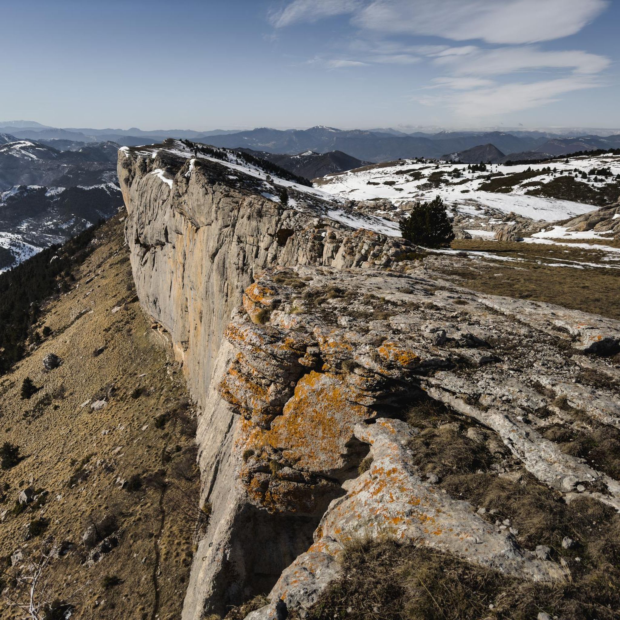
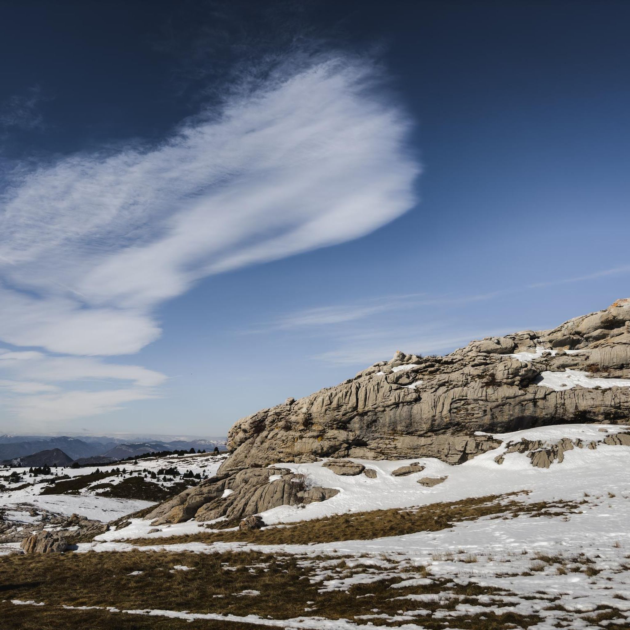
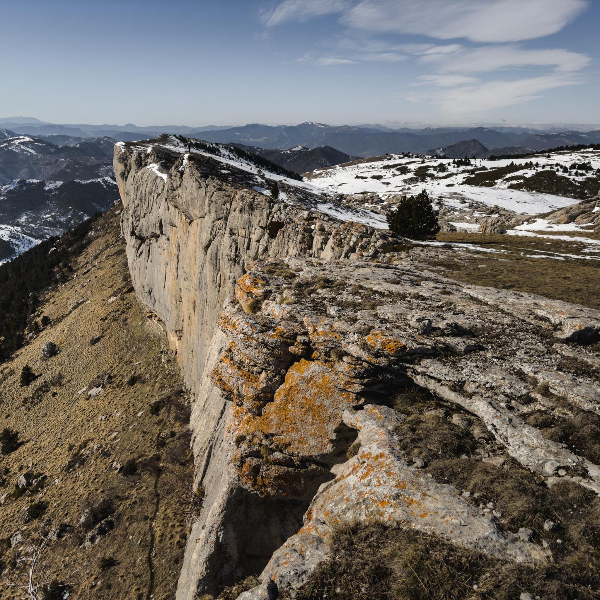
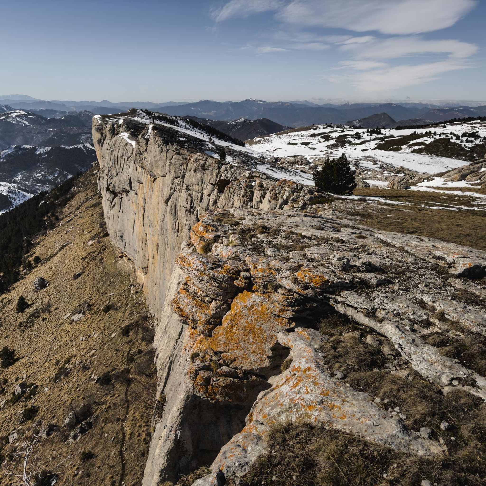
Road cycling routes in Forêt Domaniale De Ceüse traverse a landscape characterized by dense woodlands, open plateaus, and significant limestone cliffs. The region, part of the Hautes-Alpes department, offers varied terrain with scenic ascents and winding roads. As a Natura 2000 protected area, it features preserved natural habitats and diverse flora. Road cyclists can expect routes that provide panoramic views across the Durance and Buëch valleys, extending to the Écrins massif.
Best road cycling routes in Forêt Domaniale De Ceüse
…Last updated: June 29, 2026
5.0
(2)
24
riders
44.4km
02:41
1,080m
1,090m
Hard road ride. Very good fitness required. Mostly well-paved surfaces and easy to ride.
5.0
(1)
15
riders
23.7km
01:21
470m
480m
Moderate road ride. Good fitness required. Mostly well-paved surfaces and easy to ride.

Sign up for free
5.0
(1)
30
riders
32.1km
01:38
540m
540m
Moderate road ride. Good fitness required. Mostly well-paved surfaces and easy to ride.
18
riders
23.0km
01:10
360m
360m
Moderate road ride. Good fitness required. Mostly well-paved surfaces and easy to ride.
10
riders
51.5km
02:46
1,030m
1,030m
Hard road ride. Very good fitness required. Mostly well-paved surfaces and easy to ride.
Get access to more routes and recommendations from other explorers.
Sign up for free
Already have an account?
Our route recommendations are based on thousands of hikes, rides, and runs completed by other people on komoot.
Start today with a free account
Your next adventure awaits.
Login or Signup

Tips from the Community


A pass lost in the mountains, a very small road with very few cars and magnificent landscapes
1
0

To get to this fountain there are three possibilities via Barcilonette, Vitrolles and La Saulce.
0
0

Adélaïde mixes the 2 villages of Fouillouse, that of 05 above Tallard in the Gapençais is at an altitude of 840 m and Fouillouse, a small hamlet above Saint Paul sur Ubaye in the 04 classified as a remarkable site at an altitude of 1900 m (where the ancestors of Abbé Pierre come from).
2
0

Really pleasant ascent of the north slope. Road with little traffic and very pretty marl landscapes.
1
0

The Col d'Espréaux connects the Buëch valley and the Durance valley at an altitude of 1,160 meters. This passage offers unique and spectacular landscapes in the Southern Alps.
1
0
Frequently Asked Questions
How many road cycling routes are available in Forêt Domaniale De Ceüse?
There are over 90 road cycling routes in Forêt Domaniale De Ceüse, offering a wide range of options for different skill levels. The komoot community has explored over 90 routes, with 11 considered easy, 60 moderate, and 23 difficult.
What kind of terrain can I expect on road cycling routes in Forêt Domaniale De Ceüse?
Road cycling in Forêt Domaniale De Ceüse features diverse terrain, from winding mountain roads with scenic ascents to routes traversing dense woodlands and open plateaus. You'll encounter significant limestone cliffs and panoramic loops around distinctive mountains, providing both engaging challenges and breathtaking views.
Are there any easy or beginner-friendly road cycling routes in the area?
Yes, Forêt Domaniale De Ceüse offers several easier routes suitable for beginners or those seeking a more relaxed ride. For example, the Lake Pelleautier loop from Col des Guérins is a moderate 14.5-mile route that provides beautiful views without extreme difficulty.
Where can I find challenging road cycling climbs in Forêt Domaniale De Ceüse?
For challenging climbs, the region offers routes with significant elevation gain. The Espréaux Pass – Espréaux Pass loop from Col Isabelle is a difficult 31.9-mile trail that leads through mountainous passes, often completed in about 2 hours 46 minutes, featuring over 1000 meters of ascent.
What are the best viewpoints or natural features to see along the road cycling routes?
Road cycling routes in Forêt Domaniale De Ceüse offer numerous panoramic viewpoints. You can admire the majestic Céüse Cliff, known for its distinctive blue and ochre coloring, and enjoy 360-degree vistas across the Durance and Buëch valleys, extending to the Écrins massif. The region is also a Natura 2000 protected area, showcasing diverse flora and natural habitats.
Are there any circular road cycling routes in Forêt Domaniale De Ceüse?
Many routes in Forêt Domaniale De Ceüse are designed as loops, allowing you to start and finish at the same point. A popular option is the Col du Villard – Pelleautier Lake loop from Sigoyer, a moderate 19.9-mile path that features a mix of climbs and descents through the area's natural features.
What is the best time of year for road cycling in Forêt Domaniale De Ceüse?
The region is generally best for road cycling from spring to autumn. During these seasons, the weather is typically more favorable, and the lush forest and meadows are at their most vibrant. Winter can bring snow, especially at higher elevations, as evidenced by the Céüze 2000 ski resort on the northern side of the mountain.
Are there any long-distance road cycling routes available?
Yes, for those looking for longer rides, routes like the Lake Pelleautier – View of Château de Tallard loop from Sigoyer cover nearly 100 kilometers (62 miles) and involve significant elevation changes, providing a full day's adventure.
What do other road cyclists enjoy most about road cycling in Forêt Domaniale De Ceüse?
The area is highly rated by the komoot community, with an average score of 4.6 stars from over 150 reviews. Cyclists often praise the winding mountain roads, the panoramic viewpoints across valleys and mountains, and the lush forest sections that define the region's varied terrain.
Is Forêt Domaniale De Ceüse suitable for family-friendly road cycling?
While many routes involve climbs, there are options that can be adapted for families, particularly those with some cycling experience. Look for routes described as 'easy' or 'moderate' that stick to flatter sections or offer shorter loops. Always check the route's elevation profile to ensure it matches your family's ability.
Where can I find parking for road cycling routes in Forêt Domaniale De Ceüse?
Starting points for many routes, such as those around Lake Pelleautier or near villages like Sigoyer, typically offer parking facilities. It's advisable to check specific route descriptions for recommended starting points and parking availability to plan your trip effectively.
Are there cafes or restaurants near the road cycling routes in Forêt Domaniale De Ceüse?
Yes, charming villages like Sigoyer, located at the foot of the massif, offer amenities such as cafes and restaurants where cyclists can refuel and relax. It's a good idea to plan your route to pass through or near these villages for refreshment stops.
Most popular routes in Forêt Domaniale De Ceüse

Get inspired with the komoot mobile app


Explore more
Browse the best Road cycling routes in other regions.
