The best cycling routes in Forêt Royale De L'Agre
4.3
(38)
551
riders
56
rides
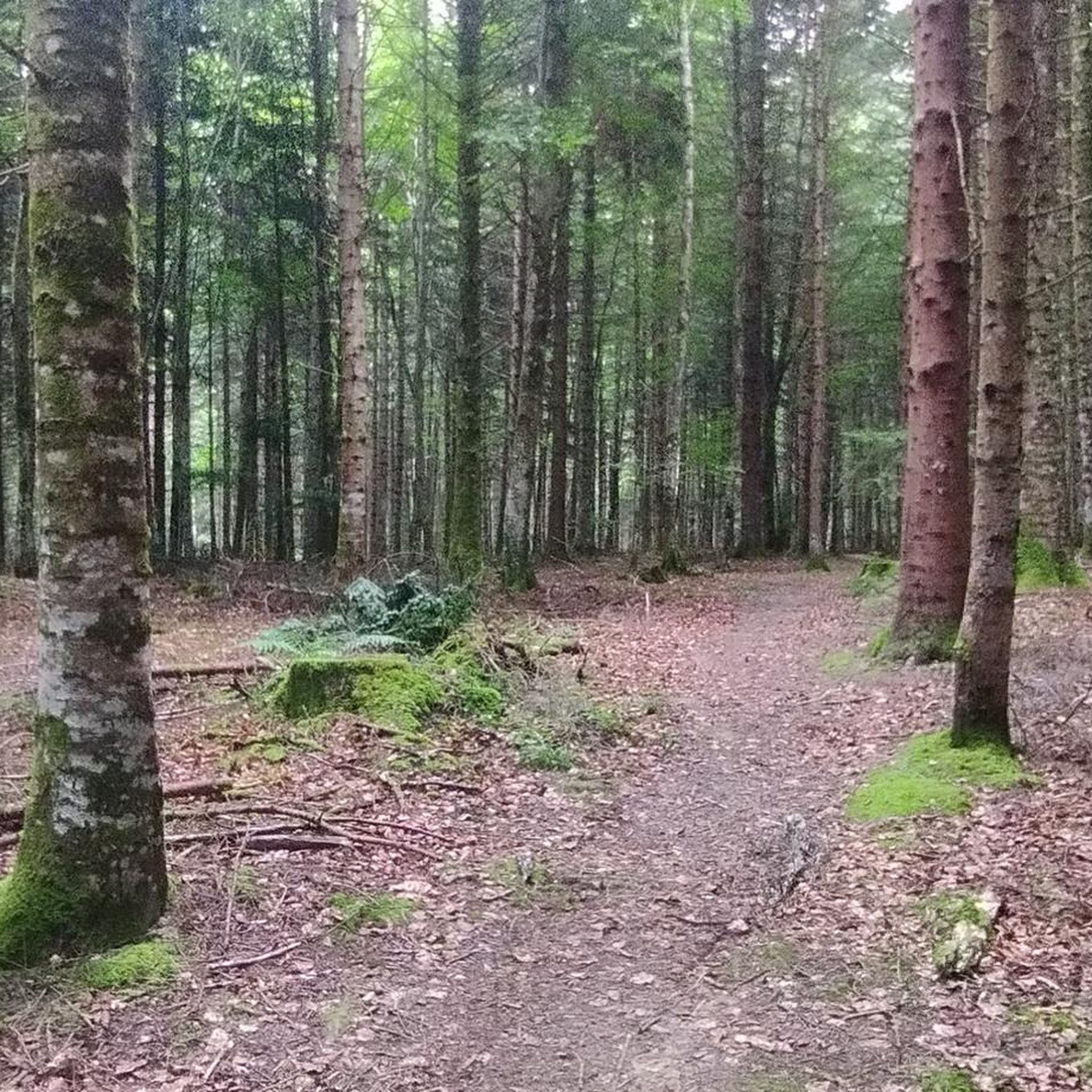
Forêt Royale De L'Agre cycling routes traverse a diverse arboreal landscape, featuring hornbeams, oaks, maritime pines, and Scots pines. This expansive forest, covering 1,500 hectares, offers numerous well-maintained paths suitable for touring cyclists. The terrain primarily consists of dense woodlands, providing varied routes through its natural heritage. Historically protected as a royal domain, the forest maintains significant portions of its natural beauty.
Best touring cycling routes in Forêt Royale De L'Agre
- The most popular touring cycling route is Bélesta loop…
Last updated: July 4, 2026
4.8
(6)
11
riders
53.6km
03:48
920m
920m
Hard bike ride. Very good fitness required. Mostly paved surfaces. Suitable for all skill levels.
16
riders
22.3km
01:30
380m
380m
Moderate bike ride. Good fitness required. Mostly paved surfaces. Suitable for all skill levels.

Sign up for free
4.5
(2)
33
riders
101km
07:36
2,420m
2,420m
Hard bike ride. Very good fitness required. Mostly paved surfaces. Suitable for all skill levels.
3.0
(1)
17
riders
37.2km
02:27
490m
490m
Hard bike ride. Very good fitness required. Mostly paved surfaces. Suitable for all skill levels.
4.0
(1)
6
riders
19.0km
01:31
210m
210m
Moderate bike ride. Good fitness required. Mostly paved surfaces. Suitable for all skill levels.
Get access to more routes and recommendations from other explorers.
Sign up for free
Already have an account?
Our route recommendations are based on thousands of hikes, rides, and runs completed by other people on komoot.
Start today with a free account
Your next adventure awaits.
Login or Signup



Tips from the Community

The Col de Marmare-Chioula is an 18.6-kilometer long Category 1 pass. It is located in Luzenac.
16
0
The Col de Marmare from Luzenac is a climb in the Ariège region. It is 16.8 kilometers long and climbs 828 meters.
0
0
The Col du Chioula from Prades is a climb in the Ariège region. It is 2.3 kilometers long and climbs 72 meters.
0
0
The Croix des 7 Frères is a small, inconspicuous summit and the start of a nice ride in the area.
17
0
1253 meters high, you can reach it via asphalt or gravel road
6
0
nice lake with catering facilities
6
0
small mountain lake near Belcaire a camping and large parking lot
6
0

Small pass with Puivert castle in sight during the climb
0
0
Frequently Asked Questions
What types of touring cycling routes can I find in Forêt Royale De L'Agre?
Forêt Royale De L'Agre offers a diverse range of touring cycling routes, from easy paths along the canals to more challenging trails through dense woodlands. You'll find routes suitable for various fitness levels, with 56 routes in total, including 2 easy, 14 moderate, and 40 difficult options. Many routes incorporate the scenic greenways along the Canal de Montech and Canal Latéral à la Garonne.
Are there any family-friendly touring cycling routes in Forêt Royale De L'Agre?
Yes, the greenways along the Canal de Montech are particularly well-suited for family cycling. These paths are generally smooth, shaded, and offer a tranquil experience away from traffic. While specific 'easy' routes are fewer, the canal paths provide a gentle and enjoyable environment for all ages. Consider routes that stick to the canal banks for a relaxed family outing.
What are some notable landmarks or attractions to see along the touring cycling routes?
As you cycle through Forêt Royale De L'Agre, you can explore several interesting features. The historical canal system includes charming locks, and a unique highlight is the Montech Water Slope, an impressive boat lift that, while no longer operational, remains a significant engineering landmark with an exhibition. The forest itself is a ZNIEFF (Natural Area of Ecological, Faunal, and Floristic Interest), offering rich biodiversity and extensive woodlands.
Are there any circular touring cycling routes in the region?
Yes, many of the touring cycling routes in Forêt Royale De L'Agre are designed as loops, allowing you to start and finish at the same point. For example, the difficult Bélesta loop from Sentier d'interpretation sylvicole covers 51.7 km, and the moderate Puivert Lake. – View of the Puivert castle ruins loop from Château de Puivert is a 25.9 km circular path.
What is the best season for touring cycling in Forêt Royale De L'Agre?
The Forêt Royale De L'Agre is enjoyable for touring cycling throughout much of the year. Spring and autumn offer pleasant temperatures and beautiful foliage, making them ideal. Summer provides ample shade from the extensive woodlands and canal-side trees, which is a significant advantage. Winters can be cooler but still offer opportunities for cycling on drier days.
How long do the touring cycling routes typically take to complete?
Route durations vary significantly based on distance and difficulty. For instance, the moderate View of Puivert castle – Puivert Lake. loop from Nébias, at 18.9 km, typically takes around 1 hour 30 minutes. More challenging and longer routes, like the difficult Col du Pradel – Thermal springs loop from Puivert (100.9 km), can take over 7 hours.
What do other touring cyclists enjoy most about touring cycling in Forêt Royale De L'Agre?
The area is highly rated by the komoot community, with an average score of 4.4 stars from over 40 reviews. Reviewers often praise the tranquil experience of cycling along the well-maintained canal greenways, the extensive shaded woodlands, and the blend of natural beauty with historical canal features like the Montech Water Slope.
Are there options for more challenging touring cycling routes?
Absolutely. Forêt Royale De L'Agre features 40 difficult touring cycling routes, offering more significant distances and elevation changes. An example is the Tougnets Pass – Tougnets Pass loop from Puivert, a 36.2 km route with notable ascents, providing a good challenge for experienced touring cyclists.
Is there parking available near the touring cycling trails?
Yes, parking is generally available at various access points to the forest and canal greenways. Many routes start from towns or villages like Montech or Puivert, where you can typically find designated parking areas suitable for accessing the trails.
Can I access the touring cycling routes using public transport?
The Forêt Royale De L'Agre is situated between Montech and Montauban. Montauban is well-connected by public transport, including train services. From Montauban, you can access the canal greenways that lead directly into the forest, making it possible to reach the cycling routes without a car. Check local bus schedules for connections to smaller towns like Montech.
Most popular routes in Forêt Royale De L'Agre

Get inspired with the komoot mobile app


Explore more
Browse the best Cycling routes in other regions.
