The best running trails in Bois De La Brandelle
5.0
(1)
68
runners
15
runs
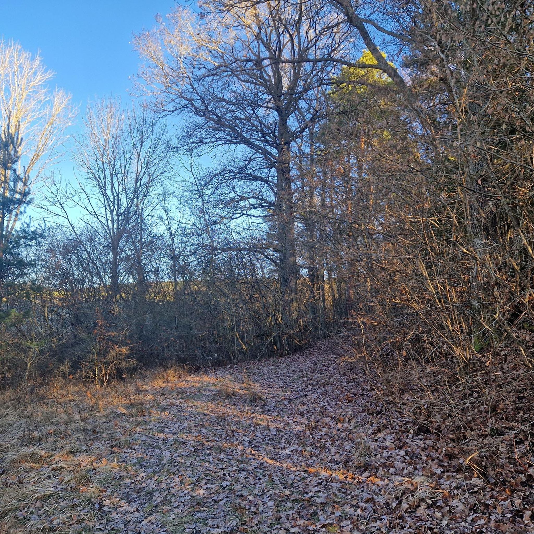
Bois De La Brandelle jogging routes popular for their varied terrain, offering a mix of open agricultural lands and shaded woodlands. The region features paths through the Vallée des Noues and sections along a former railway line, providing diverse running surfaces. Elevation gains are generally low, making the area suitable for various fitness levels. These running routes often incorporate natural features and rural French countryside.
Best jogging routes in Bois De La Brandelle
- The most popular jogging route is Running…
Last updated: July 5, 2026
4
runners
5.99km
00:38
20m
20m
Moderate run. Good fitness required. Mostly paved surfaces. Suitable for all skill levels.
5.0
(1)
10
runners
9.24km
00:59
60m
60m
Moderate run. Good fitness required. Mostly paved surfaces. Suitable for all skill levels.

Sign up for free
4
runners
9.58km
01:00
70m
70m
Moderate run. Good fitness required. Mostly paved surfaces. Suitable for all skill levels.
3
runners
12.2km
01:17
70m
70m
Moderate run. Good fitness required. Mostly paved surfaces. Suitable for all skill levels.
2
runners
11.1km
01:10
40m
40m
Moderate run. Good fitness required. Mostly paved surfaces. Suitable for all skill levels.
Get access to more routes and recommendations from other explorers.
Sign up for free
Already have an account?
Our route recommendations are based on thousands of hikes, rides, and runs completed by other people on komoot.
Start today with a free account
Your next adventure awaits.
Login or Signup
Popular around Bois De La Brandelle

Tips from the Community

Many arms of the Lunain river, you can walk along it and see its many mills. Paley is a beautiful village, very well maintained.
0
0

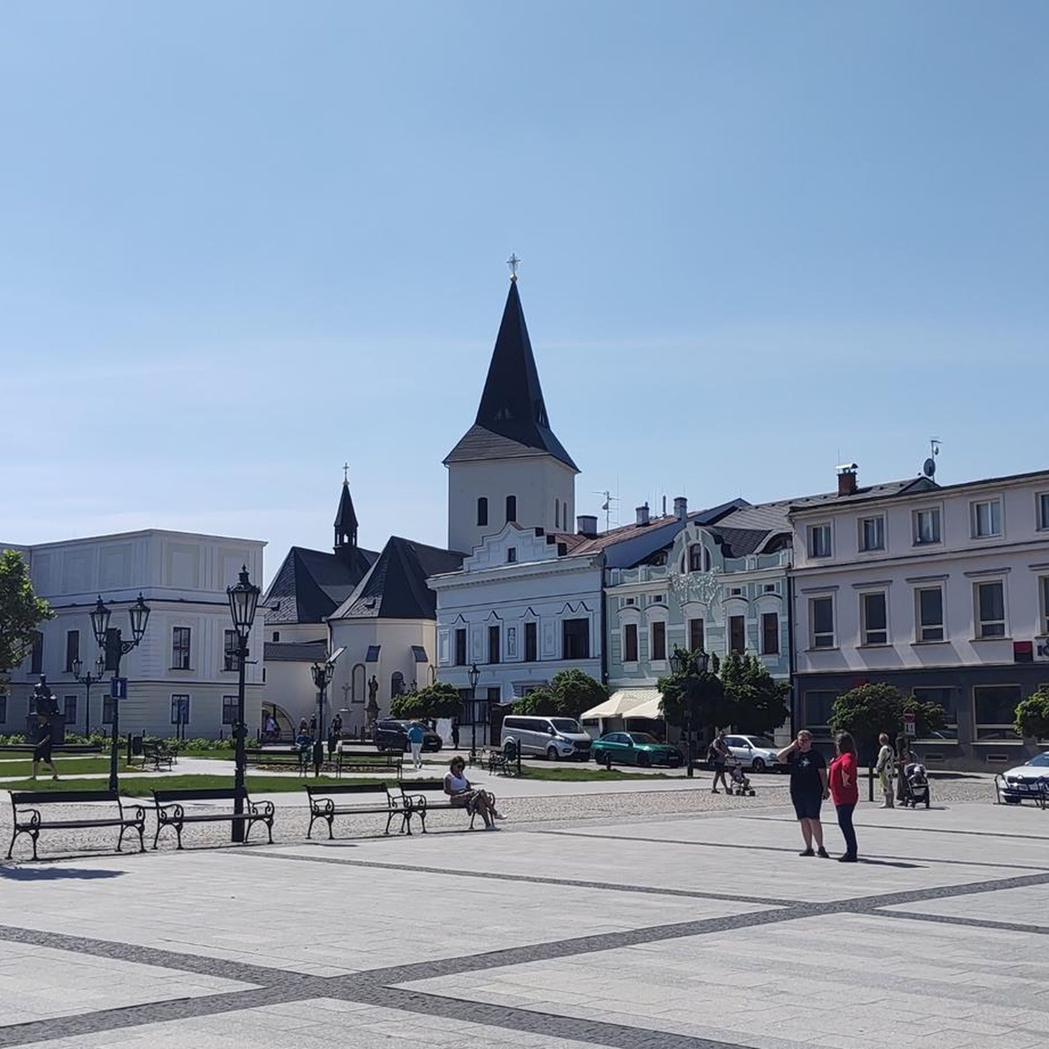
Very nice church along a very nice road. Very bucolic place with pretty medieval houses.
0
0

Just opposite, on the other side of the road, the castle of Paley, from a first fortress of the 12th century. Some vestiges of this primordial building still remain inside the courtyard. The main main building, destroyed under Charles VI, was subsequently rebuilt, to be finally extensively altered in the 19th century. The part visible from the road dates from the 18th century.
0
0
The notable characteristic of this 12th century church (in my humble opinion) resides in this inscription engraved on the frontispiece of the entry "The French people recognize the Supreme Being and the immortality of the soul". This inscription dates from 1794 at a time when the old religions were suppressed in favor of the cult of Reason (fall 1793-spring 1794) then the cult of the Supreme Being (spring 1794-summer 1794), and finally Theophilanthropy . In the spring of 1794, Robespierre and his colleagues from the Committee of Public Safety had the Hébertists successively arrested, then Danton and the Indulgents, measures followed by the condemnation and execution of the leaders of the two "factions". He then contributes to putting an end to the policy of dechristianization and makes vote, as rapporteur, the decree of 18 Floréal Year II, by which "the French people recognize the existence of the supreme being and the immortality of the soul. ". A very small number of churches throughout France have kept track of this period.
0
0
Frequently Asked Questions
How many running routes are available in Bois De La Brandelle?
There are 15 dedicated running routes in Bois De La Brandelle, all offering a moderate challenge suitable for various fitness levels. These routes traverse diverse landscapes, from open agricultural fields to shaded woodlands.
What kind of terrain can I expect on the jogging trails in Bois De La Brandelle?
The jogging trails in Bois De La Brandelle feature a varied terrain, including sections of asphalt roads and dirt trails. You'll experience open agricultural lands, shaded woodlands (en sous-bois), paths along the vallée des Noues, and even segments following a former railway line, providing a mix of surfaces for your run.
Are the running routes in Bois De La Brandelle suitable for beginners?
Yes, the routes in Bois De La Brandelle are generally suitable for various fitness levels, including beginners. While all routes are classified as moderate, the elevation gains are typically low, making them accessible for those new to running or looking for a less strenuous workout. The varied terrain also allows for a refreshing experience without excessive difficulty.
What are some natural features or viewpoints to look out for while running?
While running in Bois De La Brandelle, you'll encounter diverse natural features. The routes pass through extensive agricultural regions, offering views of the rural French countryside. You'll also find refreshing sections within woodlands and along the vallée des Noues, providing varied topography and natural beauty. A unique segment follows a former railway line, offering a straight and relatively flat path.
Are there any historical or cultural attractions near the running routes in Bois De La Brandelle?
Yes, the area around Bois De La Brandelle, particularly near Égreville, offers several historical and cultural attractions. These include the notable Bourdelle Garden-Museum, the Château where Jules Massenet lived, and a remarkable market hall in Égreville. These sites are part of the broader exploratory routes and can be combined with your run for a richer experience. For more information on the region, you can visit tourisme-gatinaisvaldeloing.fr.
Are the running trails in Bois De La Brandelle circular?
Many of the running routes in Bois De La Brandelle are designed as loops, offering circular paths that bring you back to your starting point. For example, the Running loop from Lorrez-le-Bocage-Préaux and the Running loop from Saint-Ange-le-Viel are excellent circular options for exploring the region.
What do other runners enjoy about the trails in Bois De La Brandelle?
The running routes in Bois De La Brandelle are highly rated by the komoot community, with an average score of 5.0 stars. Runners often praise the varied terrain, which includes a refreshing mix of open agricultural lands and shaded woodlands, as well as the low elevation gains that make the trails enjoyable for different fitness levels.
Is there parking available near the running routes?
While specific parking locations are not detailed for every route, the trails often start from villages like Égreville, Lorrez-le-Bocage-Préaux, and Paley, where public parking facilities are typically available. It's advisable to check local parking options in these villages before your run.
Can I reach the Bois De La Brandelle running trails using public transport?
The Bois De La Brandelle area is primarily rural. While some villages like Égreville may have limited public transport connections, direct access to trailheads via public transport might be challenging. It's recommended to check local bus schedules or consider driving to the starting points of the routes.
Are there any longer running routes for more experienced runners?
Yes, while many routes are moderate, there are options for longer runs. For instance, the Étang des Champs loop from Rozoy-le-Vieil covers approximately 11.1 kilometers, offering a more extended challenge through the varied landscapes of the region.
What is the typical elevation gain on the running trails?
The running trails in Bois De La Brandelle are characterized by generally low elevation gains. For example, the 18-kilometer hiking trail in the area, also suitable for runners, has an elevation gain between 110 and 138 meters. This makes the routes accessible and enjoyable without significant climbs.
Are there any specific routes that pass through charming villages?
Yes, several routes connect to or pass through charming local villages. The Running loop from Égreville, for example, directly connects to the village of Égreville, allowing you to experience both natural surroundings and local culture.
Most popular routes in Bois De La Brandelle

Get inspired with the komoot mobile app


Explore more
Browse the best Running Trails & Routes in other regions.
