The best MTB trails in Forêt Domaniale De Levier
4.4
(40)
176
riders
43
rides
Mountain biking in Forêt Domaniale De Levier offers a network of trails winding through dense woodlands and varied terrain. The region, located around Pontarlier, features a mix of rolling hills and forest paths, providing diverse conditions for mountain bikers. Elevation changes are present on many routes, adding to the challenge and scenic views. The landscape is primarily characterized by its extensive forest cover.
Best mountain bike trails in Forêt Domaniale De Levier
- The most popular mountain bike trail is Mountainbike…
Last updated: July 2, 2026
4.0
(1)
3
riders
30.4km
02:11
290m
290m
Moderate mountain bike ride. Good fitness required. Suitable for all skill levels.
5.0
(1)
4
riders
46.9km
03:05
370m
370m
Hard mountain bike ride. Good fitness required. Advanced riding skills necessary. Some portions of the route may require you to push your bike.

Sign up for free
5.0
(2)
13
riders
24.6km
02:03
350m
350m
Moderate mountain bike ride. Good fitness required. Suitable for all skill levels.
4.0
(2)
6
riders
45.2km
03:57
940m
940m
Hard mountain bike ride. Very good fitness required. Suitable for all skill levels.
4.7
(3)
7
riders
20.5km
01:45
290m
290m
Easy mountain bike ride. Great for any fitness level. Suitable for all skill levels.
Get access to more routes and recommendations from other explorers.
Sign up for free
Already have an account?
Our route recommendations are based on thousands of hikes, rides, and runs completed by other people on komoot.
Start today with a free account
Your next adventure awaits.
Login or Signup
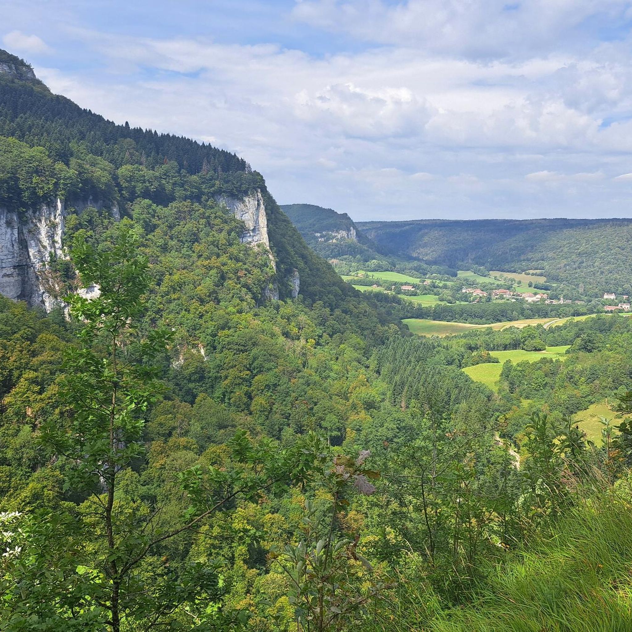
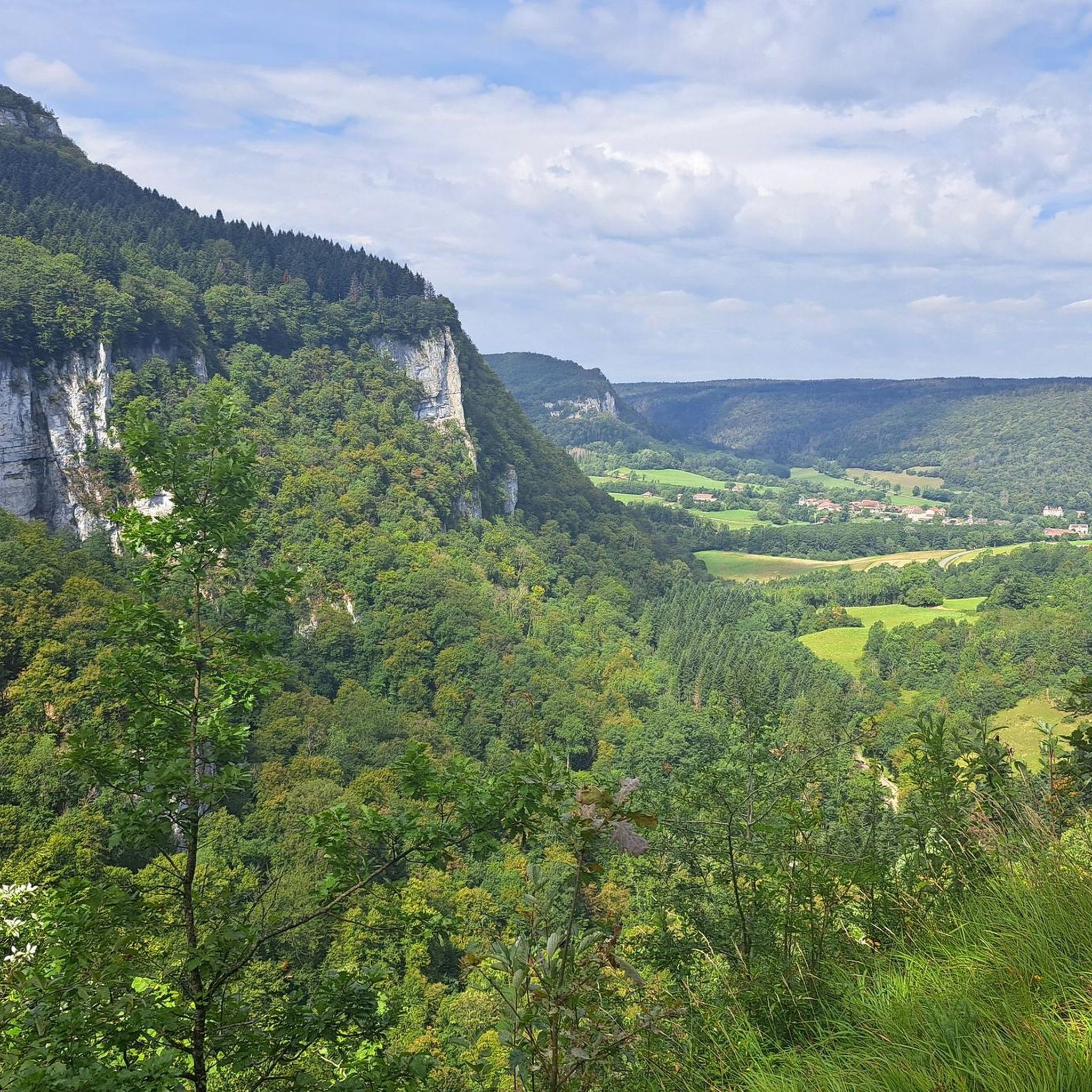
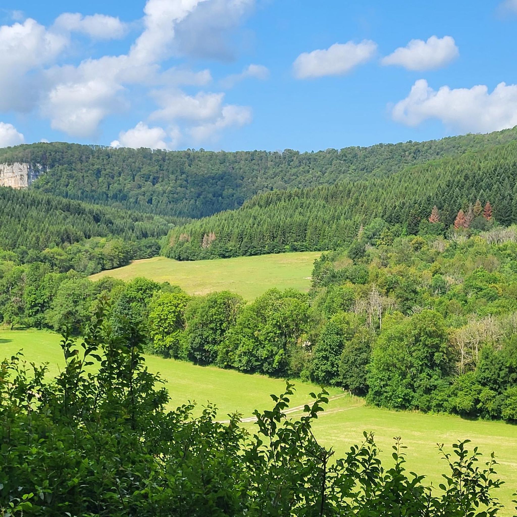


Tips from the Community

Road + gravel section. Breathtaking view
0
0

Very beautiful viewpoint. Accessible by bike from Reugney.
0
0

Remember not to venture too far into the cave
0
0

The village of Nans-sous-Sainte-Anne is remarkable for the scale of its landscapes, the rhythm of the mountains and depressions. It knows how to combine in a restricted space the charm of the foliage and the fir trees with the austerity of the rock walls, the impetuosity of the waterfalls with the intimacy of the undergrowth, the mystery of the caves with the picturesqueness of the belvederes.
1
0

The spring is simply gigantic and there aren't too many tourists - at least when we were there.
1
0

This highlight is located on the plateau under which the cave opening is located. It can be found via a dead-end path, but the view is a bit sobering.
1
0
The Sarrasine Cave impresses with its 90 m high portal. A 40 m thick layer of limestone separates it from the upper part of the plateau. The cave system has been explored for about 4 km, and hikers equipped with a flashlight can access it up to a small lake inside. https://www.lieux-insolites.fr
1
0
Frequently Asked Questions
How many mountain bike trails are there in Forêt Domaniale De Levier?
There are over 35 mountain bike trails available in Forêt Domaniale De Levier, offering a variety of options for different skill levels and preferences.
Are there mountain bike trails suitable for beginners in Forêt Domaniale De Levier?
Yes, Forêt Domaniale De Levier offers several easy mountain bike trails. For example, the Col de Chalamont loop from Levier is an easy 12.3-mile (19.8 km) route that provides a good introduction to the area's terrain.
What are the options for experienced mountain bikers in Forêt Domaniale De Levier?
Experienced mountain bikers will find challenging routes in the area. The Mountainbike loop from Boujailles is a difficult 28.3-mile (45.6 km) trail with significant elevation gain, perfect for those seeking a demanding ride.
Are there any family-friendly mountain bike trails in Forêt Domaniale De Levier?
While specific 'family-friendly' designations aren't always clear, the easier routes, such as the Col de Chalamont loop from Levier, are generally suitable for families with some mountain biking experience, as they feature less challenging terrain and elevation.
Are there mountain bike trails that form a loop in Forêt Domaniale De Levier?
Yes, many of the mountain bike trails in Forêt Domaniale De Levier are designed as loops. Examples include the Maillot Castle and Barns – Point de vue du Temps loop from Levier and the Viewpoint – Lison Spring loop from Levier, allowing you to start and finish at the same point.
What is the best time of year for mountain biking in Forêt Domaniale De Levier?
The best time for mountain biking in Forêt Domaniale De Levier is typically from spring through autumn (April to October). During these months, the weather is generally milder, and the trails are less likely to be muddy or covered in snow, offering optimal riding conditions.
What kind of views or landmarks can I expect along the mountain bike trails?
The trails often lead through dense woodlands, offering scenic forest views. Routes like the Maillot Castle and Barns – Point de vue du Temps loop from Levier explore forest trails and provide glimpses of local landmarks. The The President Fir of Levier loop from Levier also takes you past notable natural features.
What do other mountain bikers enjoy most about mountain biking in Forêt Domaniale De Levier?
The area is highly rated by the komoot community, with an average score of 4.5 stars from over 40 reviews. Reviewers often praise the diverse terrain, the extensive network of forest paths, and the varied options for different skill levels, from easy rides to challenging climbs.
Are there any cafes or places to eat near the mountain bike trails?
The Forêt Domaniale De Levier is located near several villages, including Levier and Boujailles. These villages typically offer local cafes, bakeries, or small restaurants where you can refuel before or after your ride.
What are the typical weather conditions for mountain biking in Forêt Domaniale De Levier?
Weather conditions can vary. Summers are generally warm, while spring and autumn offer cooler, pleasant temperatures. Winters can bring snow and colder conditions, making some trails less accessible. Always check the local forecast before heading out, especially for rain which can make forest trails muddy.
Is there parking available for mountain bikers in Forêt Domaniale De Levier?
Yes, you can typically find parking in the villages surrounding the forest, such as Levier and Boujailles, which serve as common starting points for many trails. Look for designated parking areas or public spaces within these communities.
What is the average length of mountain bike trails in Forêt Domaniale De Levier?
The mountain bike trails in Forêt Domaniale De Levier vary significantly in length. You'll find routes ranging from shorter, easier loops around 12 miles (20 km) to longer, more challenging trails exceeding 28 miles (45 km), such as the Mountainbike loop from Boujailles.
Most popular routes in Forêt Domaniale De Levier

Get inspired with the komoot mobile app


Explore more
Browse the best MTB trails in other regions.
