The best road cycling routes in Forêt De Vaivres
4.1
(57)
1,214
riders
152
rides
Road cycling in Forêt De Vaivres features a landscape characterized by dense woodlands and rolling hills, with routes often including significant elevation changes. The region, situated near Lons-Le-Saunier, offers a mix of challenging climbs and scenic descents through forested areas. Road cyclists can expect varied terrain, from winding forest roads to open stretches with panoramic views.
Best road cycling routes in Forêt De Vaivres
- The most popular road cycling route is Belvédère du fer à cheval — loop from Poligny…
Last updated: July 6, 2026
20
riders
63.1km
03:05
920m
920m
Hard road ride. Very good fitness required. Mostly well-paved surfaces and easy to ride.
13
riders
96.9km
04:38
1,300m
1,300m
Hard road ride. Very good fitness required. Mostly well-paved surfaces and easy to ride.

Sign up for free
10
riders
57.5km
02:30
390m
390m
Moderate road ride. Good fitness required. Mostly well-paved surfaces and easy to ride.
7
riders
108km
05:11
1,450m
1,450m
Hard road ride. Very good fitness required. Mostly well-paved surfaces and easy to ride.
5
riders
127km
06:04
1,690m
1,690m
Hard road ride. Very good fitness required. Mostly well-paved surfaces and easy to ride.
Get access to more routes and recommendations from other explorers.
Sign up for free
Already have an account?
Our route recommendations are based on thousands of hikes, rides, and runs completed by other people on komoot.
Start today with a free account
Your next adventure awaits.
Login or Signup
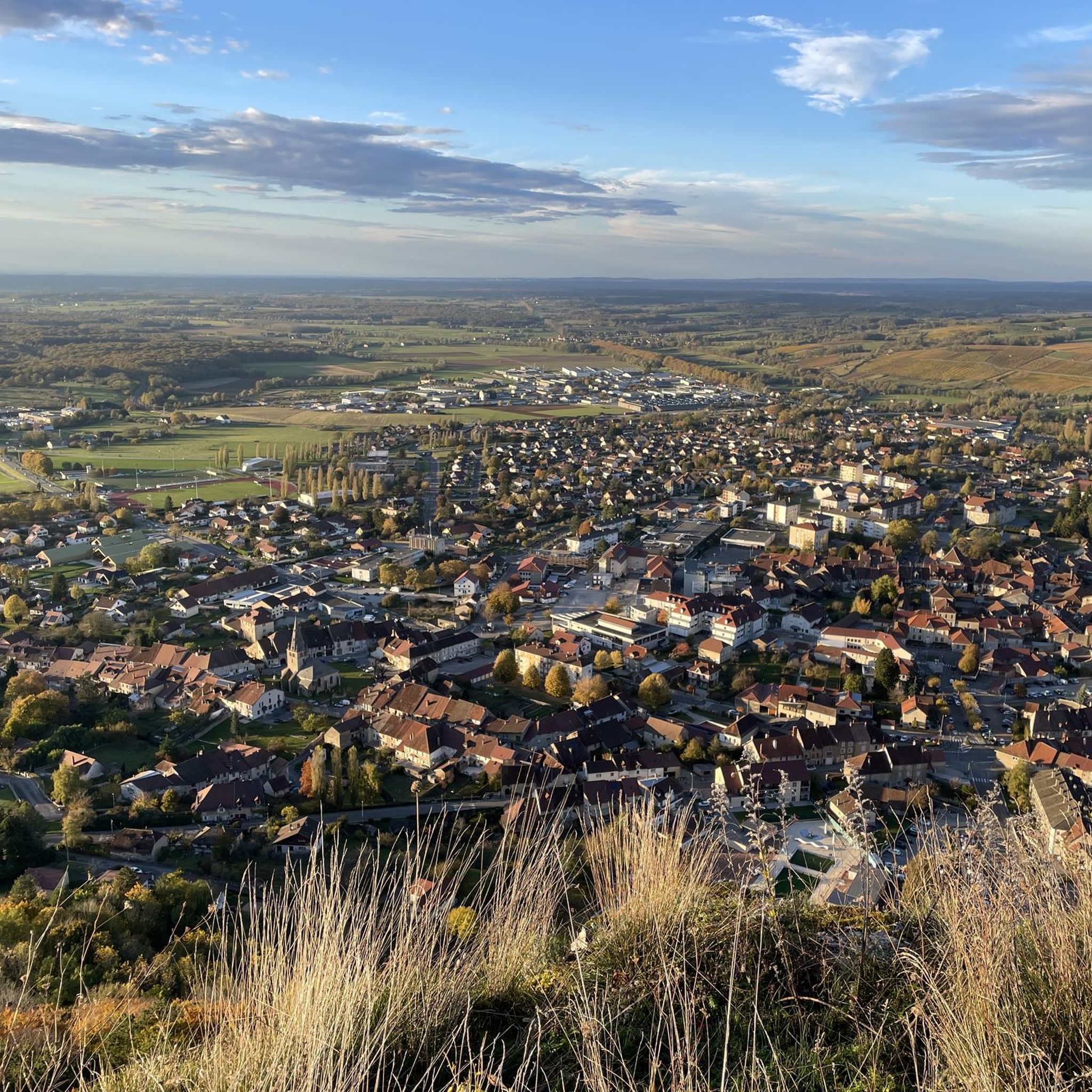
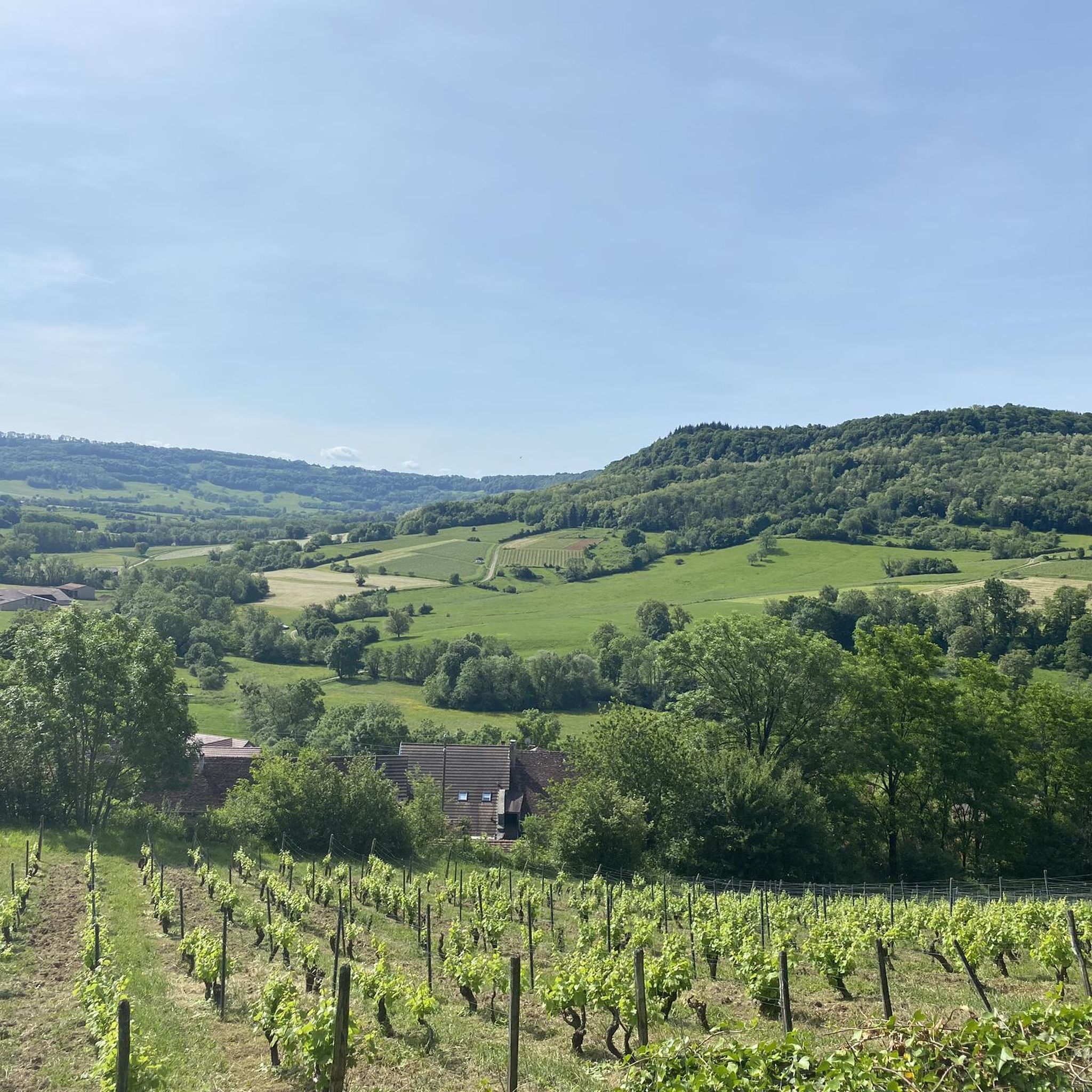
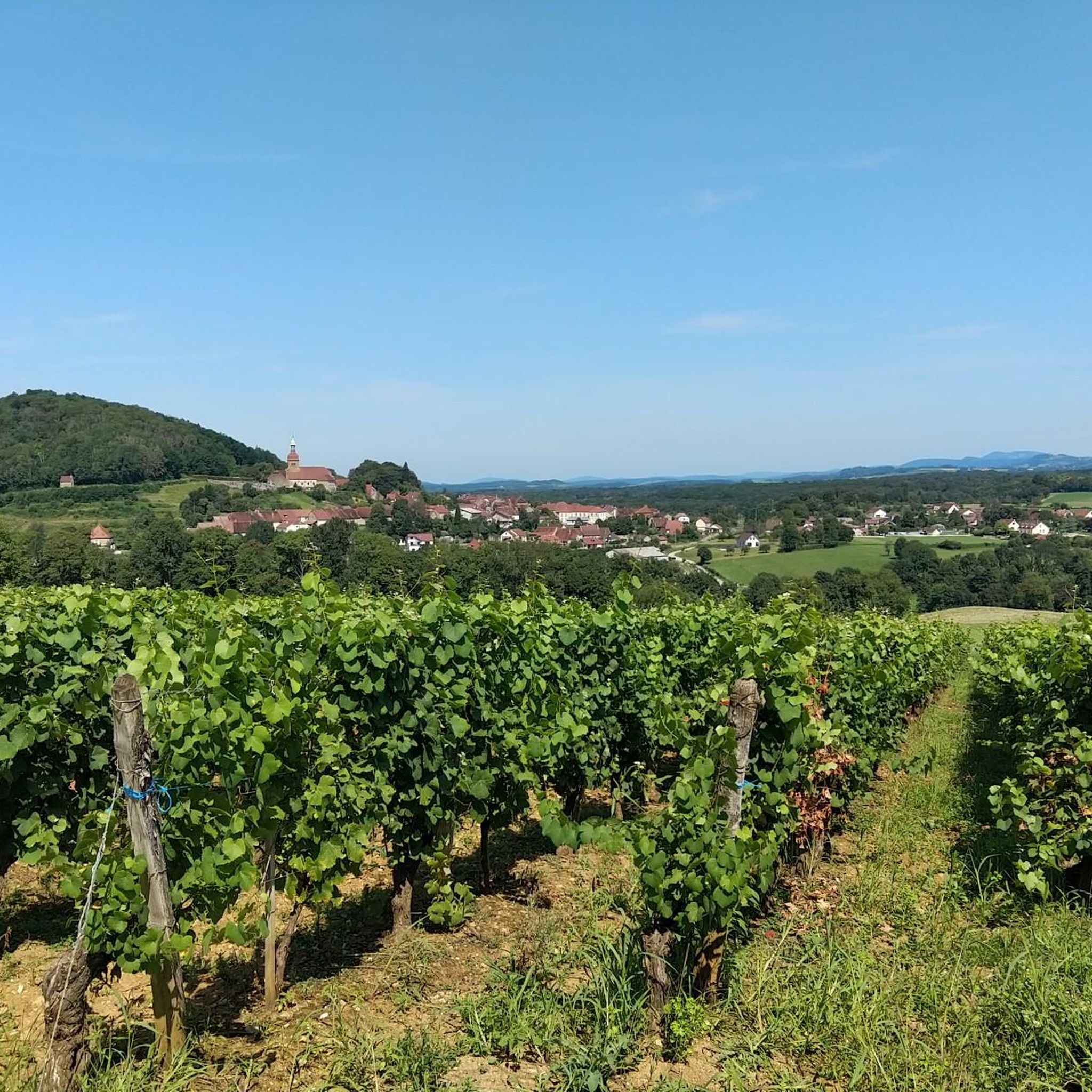


Tips from the Community

Very nice outing early in the morning
0
0

Beautiful viewpoint "Roches de Baume" with views from the plateau into the valley and as far as Baume-les-Messieurs.
5
0
Lacs de Maclu are two adjacent lakes in the western part of the French Jura, in the Jura department of Franche-Comté. They are located at an elevation of 779 m in a depression in the High Jura, in the region of the Five Lakes near Le Frasnois, about 12 km south of Champagnole. The Petit Maclu, located to the northeast, has an area of 5 hectares, a length of about 500 m, and a maximum width of about 120 m. Its greatest depth is 11 m. It lies entirely within the municipal territory of Le Frasnois.
6
0

Climbed it today (17-8-25); it's open, and there are signs along the road showing your progress. Traffic is quiet, and a beautiful green climb, especially further on.
0
0

Easy, shaded path, perfect for cooling off in hot weather.
0
0

Classified as 3rd category, the Col de la Joux was crossed during the 8th stage of the 2017 Tour De France!
0
0

Arbois is a charming little town that strikes me as typically French. It is the center of the Jura wine-growing region.
0
0

2 landscapes in less than 2
0
0
Frequently Asked Questions
How many road cycling routes are available in Forêt De Vaivres?
Forêt De Vaivres offers a wide selection of road cycling routes, with over 140 options available on komoot. These routes cater to various skill levels, from easy rides to more challenging ascents.
Are there easy road cycling routes suitable for beginners in Forêt De Vaivres?
Yes, Forêt De Vaivres has approximately 20 easy road cycling routes, perfect for beginners or those looking for a more relaxed ride. These routes typically feature less elevation gain and shorter distances.
What is the typical length of road cycling routes in Forêt De Vaivres?
Route lengths vary significantly. While some routes are shorter, many popular moderate and difficult routes range from 40 to 70 kilometers (25 to 43 miles). For example, the Belvédère du fer à cheval — loop from Poligny is 68 km, and the Saint-Lothain Water Fountain – Château-Chalon viewpoint loop from Poligny is 48.4 km.
Are there challenging road cycling routes for experienced riders in Forêt De Vaivres?
Absolutely. Forêt De Vaivres is known for its rolling hills and significant elevation changes, making it ideal for experienced cyclists. There are over 30 difficult routes, such as the Château-Chalon viewpoint – Ladoye Climb loop from Saint-Lothain, which features substantial climbs.
What are the best seasons for road cycling in Forêt De Vaivres?
The best seasons for road cycling in Forêt De Vaivres are typically spring and autumn when temperatures are mild and the forest scenery is particularly vibrant. Summer can also be pleasant, though some days might be warmer. Winter cycling is possible but requires appropriate gear for colder conditions.
Are there scenic viewpoints along the road cycling routes in Forêt De Vaivres?
Yes, many routes offer stunning panoramic views. Notable viewpoints include the Belvédère du fer à cheval, featured on the Belvédère du fer à cheval — loop from Poligny route, and the Château-Chalon viewpoint, which can be found on the Saint-Lothain Water Fountain – Château-Chalon viewpoint loop from Poligny.
What are the typical road conditions like in Forêt De Vaivres?
Road conditions in Forêt De Vaivres vary. You can expect a mix of well-maintained asphalt roads, especially on main routes, and potentially some narrower, winding forest roads. Given the forested nature, some sections might have fallen leaves or debris, particularly after windy weather.
Are there circular road cycling routes available in Forêt De Vaivres?
Many of the road cycling routes in Forêt De Vaivres are designed as loops, allowing you to start and finish at the same point. Examples include the Baume-les-Messieurs Climb – Belvédère du Cirque de Ladoye loop from Poligny and the Passenans – Poligny loop from Poligny.
What do other road cyclists enjoy most about road cycling in Forêt De Vaivres?
The area is highly rated by the komoot community, with an average score of 4.2 stars from over 80 reviews. Reviewers often praise the region's dense woodlands, challenging climbs, and the scenic viewpoints that offer rewarding vistas after ascents.
Where can I find parking for road cycling routes in Forêt De Vaivres?
While specific parking areas are not detailed for every route, starting points for many loops, such as Poligny and Saint-Lothain, typically offer public parking options. It's advisable to check local signage or use navigation apps for parking availability near your chosen starting point.
Are there places to stop for refreshments along the routes?
Given that many routes pass through or near small towns and villages like Poligny, Saint-Lothain, and Passenans, you will likely find opportunities for refreshments. These villages often have local bakeries, cafes, or small shops where you can refuel.
What should I bring for road cycling in Forêt De Vaivres?
For road cycling in Forêt De Vaivres, it's recommended to bring a helmet, appropriate cycling attire, water, snacks, a repair kit (including spare tubes and a pump), and a fully charged phone. Given the varied terrain and potential for elevation, a bike computer or GPS device is also very useful.
Most popular routes in Forêt De Vaivres

Get inspired with the komoot mobile app


Explore more
Browse the best Road cycling routes in other regions.
