The best road cycling routes in La Fuvelle
4.5
(237)
7,231
riders
233
rides
Road cycling routes in La Fuvelle navigate a landscape characterized by forests, rolling hills, and the scenic Doubs river valley. The region features prominent natural landmarks such as Lac de Saint-Point and Lac de Remoray, offering varied terrain for cyclists. Routes often include views of these lakes and passages through wooded areas. The elevation changes provide a mix of challenging ascents and enjoyable descents.
Best road cycling routes in La Fuvelle
- The most popular road cycling route is Lovely stretch along the Doubs – View of Lac de St-Point loop from Malbuisson, a 33.6 miles (54.1 km) trail that takes 2 hours 44 minutes to complete. This route offers scenic views along the Doubs river and Lac de Saint-Point.
- Another top favourite among local road cyclists is View of Lac de Remoray – View of Lac de Remoray loop from Malbuisson, a moderate 26.1 miles (42.0 km) path. This route provides extensive views of Lac de Remoray and its surrounding natural environment.
- Local road cyclists also love the La Petite Échelle – Doubs Waterfall loop from Malbuisson, a 22.1 miles (35.6 km) trail leading through varied terrain including the Doubs Waterfall, often completed in about 1 hour 54 minutes.
- Road cycling in La Fuvelle is defined by picturesque lake views, river valleys, and forested sections. The network offers options for different ability levels, from easier loops to more challenging routes with significant elevation gain.
- The routes in La Fuvelle are highly rated by the komoot community with an average score of 4.4 stars from over 200 reviews. More than 7,000 road cyclists have used komoot to explore La Fuvelle's varied terrain.
Last updated: June 28, 2026
5.0
(1)
14
riders
16.7km
00:44
140m
140m
Easy road ride. Great for any fitness level. Mostly well-paved surfaces and easy to ride.
2.0
(1)
153
riders
87.2km
04:11
1,060m
1,060m
Hard road ride. Very good fitness required. Mostly well-paved surfaces and easy to ride.

Sign up for free
5.0
(3)
91
riders
63.2km
03:00
770m
770m
Moderate road ride. Good fitness required. Mostly well-paved surfaces and easy to ride.
33
riders
Moderate road ride. Good fitness required. Mostly well-paved surfaces and easy to ride.
57
riders
115km
05:50
1,920m
1,920m
Hard road ride. Very good fitness required. Mostly well-paved surfaces and easy to ride.
Get access to more routes and recommendations from other explorers.
Sign up for free
Already have an account?
Our route recommendations are based on thousands of hikes, rides, and runs completed by other people on komoot.
Start today with a free account
Your next adventure awaits.
Login or Signup

Tips from the Community

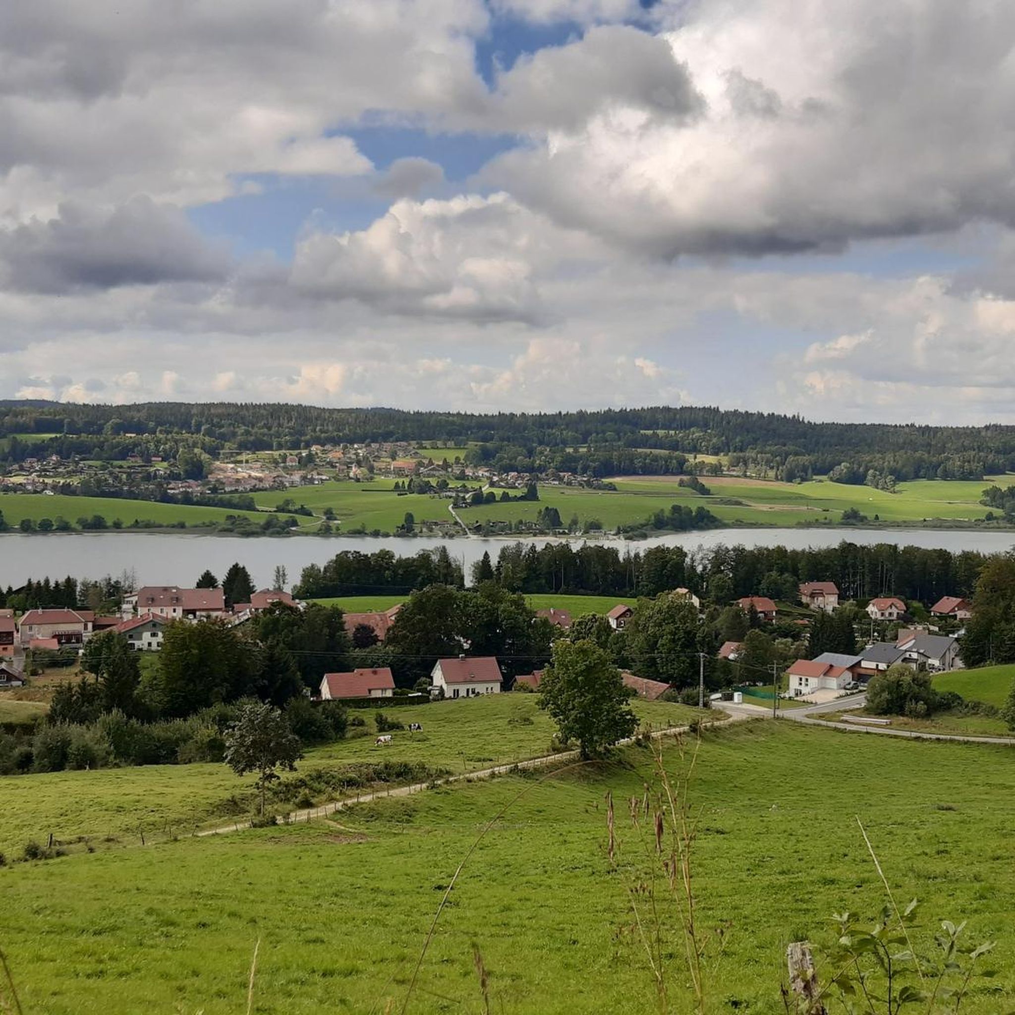
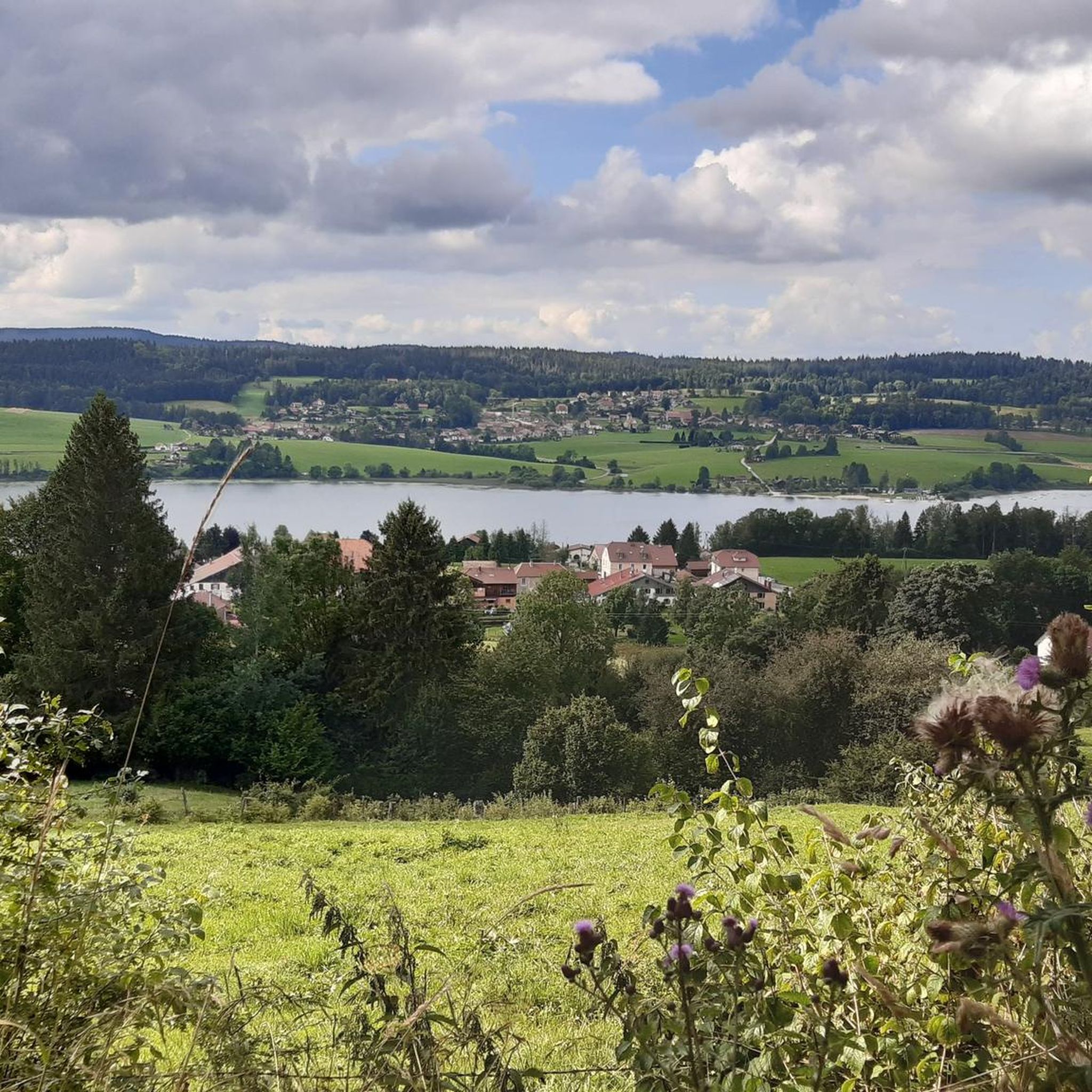
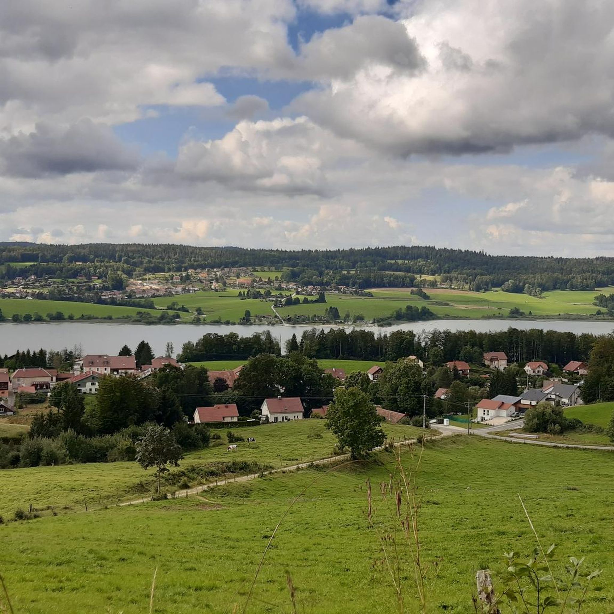
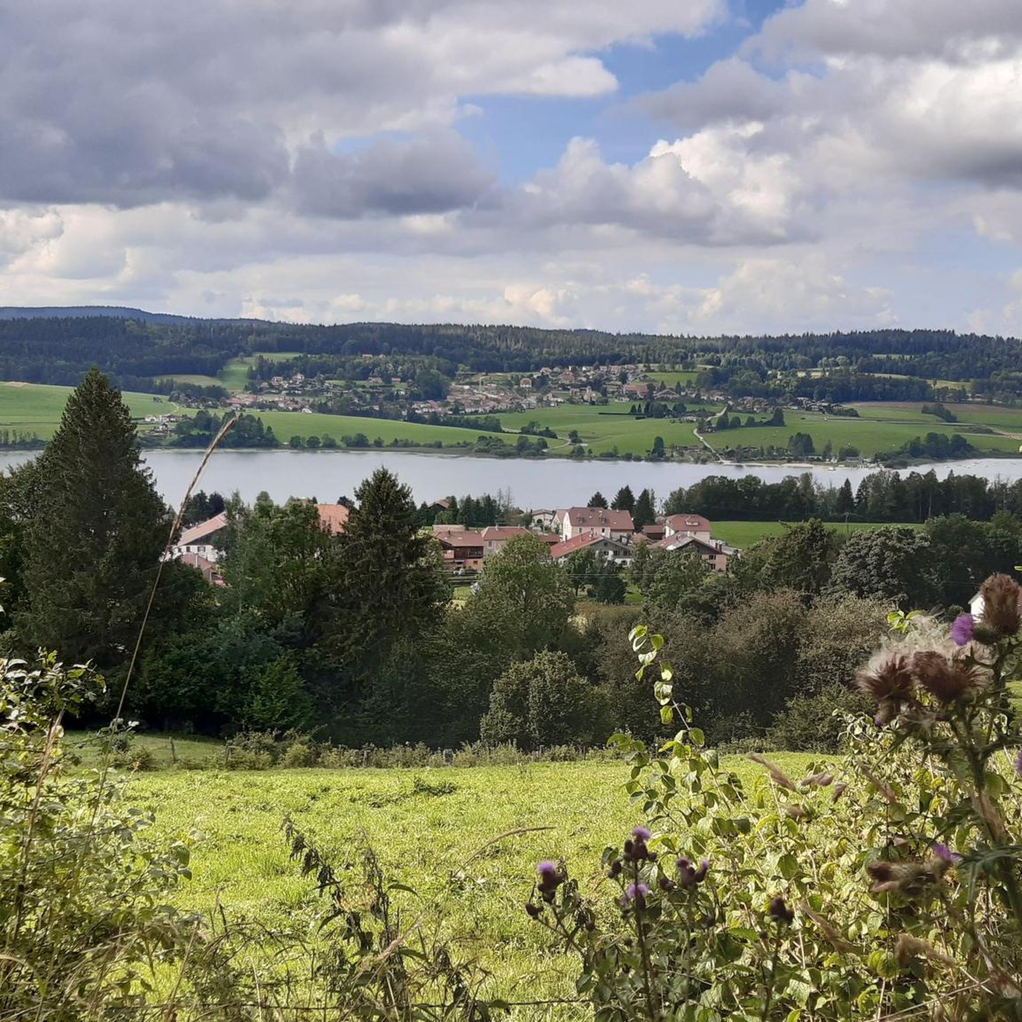
A very pretty viewpoint from the road overlooking Lake Remoray, a discreet neighbor of Lake Saint-Point. Located in the heart of a wild and preserved natural environment, it benefits from the status of a national nature reserve, and shelters a biological treasure: more than 200 species of birds, nearly 1,300 species of insects and 42 species of mammals find refuge there.
0
0

Small pass, ideal as a starting point for hikes
1
0

Viewpoint above the Doubs source with beautiful views through a forest clearing to Mouthe and the Doubs river.
6
0
The source of the Doubs River is a powerful karst spring in a heavily karstified area of the Jura Mountains. It lies at an altitude of 937 meters at the foot of the forested, up to 1,419-meter-high Mont Risoux mountain range, which straddles the border between France and Switzerland. The Doubs River rises from a small, approximately five-meter-deep spring basin in a cave in the rock.
6
0

The route up from Biere on the Swiss side is a solid steady climb with a few 12% and 13% sections. Traffic is quite light and the road is excellent. The trees give some nice protection from the sun and wind. Crossing the col northwards takes you down to the Vallé de Joux on a pretty steep decent with great corners and some short straights. My brakes made sounds I have never heard before! I did this and Col de Mollendrux together for a great 80k / 1,500 m ride. Recommended.
2
0


Frequently Asked Questions
How many road cycling routes are available in La Fuvelle?
La Fuvelle offers a wide selection of road cycling routes, with over 230 options available on komoot. These routes cater to various skill levels, from easy loops to more challenging rides with significant elevation gain.
Are there easy road cycling routes suitable for beginners in La Fuvelle?
Yes, La Fuvelle has several easy road cycling routes perfect for beginners. For instance, the View of Lac de St-Point – View of Lac de Saint-Point loop from Labergement-Sainte-Marie is an easy 22.4 km (13.9 miles) route with minimal elevation change, offering a pleasant ride around the lake.
What kind of terrain can I expect on road cycling routes in La Fuvelle?
Road cycling in La Fuvelle features diverse terrain, including scenic stretches along the Doubs river, views of Lac de Saint-Point and Lac de Remoray, and passages through wooded areas. The region is characterized by rolling hills and volcanic origins, providing a mix of challenging ascents and enjoyable descents, particularly on the Cézallier plateau.
Are there challenging road cycling routes with significant elevation gain in La Fuvelle?
Absolutely. La Fuvelle is known for its challenging routes. Many circuits involve significant elevation gain, with some routes covering over 1800 meters of positive elevation. The region's volcanic landscape and mountain passes like Col de la Volpilière (1227m) provide ample opportunities for demanding climbs.
Are there any loop road cycling trails in La Fuvelle?
Yes, many road cycling routes in La Fuvelle are designed as loops. Popular options include the Lovely stretch along the Doubs – View of Lac de St-Point loop from Malbuisson, a 54.1 km (33.6 miles) route, and the View of Lac de Remoray – View of Lac de Remoray loop from Malbuisson, a 42.0 km (26.1 miles) path.
What natural landmarks or viewpoints can I see along the road cycling routes?
Cyclists in La Fuvelle can enjoy stunning natural landmarks. Routes often feature panoramic views of the Cézallier plateau, the picturesque volcanic lakes Lac d'en Bas and Lac d'en Haut, and the expansive Lac de Saint-Point and Lac de Remoray. The Col de la Volpilière also offers views of the Sancy massif.
What do other road cyclists enjoy most about road cycling in La Fuvelle?
The komoot community highly rates road cycling in La Fuvelle, with an average score of 4.4 stars from over 200 reviews. Cyclists frequently praise the picturesque lake views, the scenic Doubs river valley, and the varied terrain that offers both challenging ascents and rewarding descents.
Are there any routes that pass by waterfalls in La Fuvelle?
Yes, for those interested in natural water features, the La Petite Échelle – Doubs Waterfall loop from Malbuisson is a 35.6 km (22.1 miles) route that leads through varied terrain, including the notable Doubs Waterfall.
What is the best time of year to go road cycling in La Fuvelle?
Given the region's challenging ascents and descents, and the presence of mountain passes, the best time for road cycling in La Fuvelle is typically during the warmer months, from late spring to early autumn. This period offers more favorable weather conditions and clear roads for enjoying the scenic landscapes.
Are there cafes or places to stop for refreshments along the routes?
While some areas of La Fuvelle can feel isolated, the charming village of La Godivelle, often central to routes in the region, features a large fountain with drinkable water, providing a refreshing stop. Cyclists can also find amenities in larger villages like Malbuisson, which serve as common starting points for many routes.
How long do road cycling routes in La Fuvelle typically take to complete?
The duration of road cycling routes in La Fuvelle varies significantly based on distance and difficulty. Shorter, easier loops like the View of Lac de St-Point – View of Lac de Saint-Point loop from Labergement-Sainte-Marie can take around 1 hour, while moderate routes such as the Lac de Saint-Point – View of the Marshes loop from Malbuisson typically take about 1 hour 53 minutes. More challenging routes can extend to several hours.
What are the options for parking when road cycling in La Fuvelle?
Many road cycling routes in La Fuvelle start from villages like Malbuisson or Labergement-Sainte-Marie. These locations typically offer public parking facilities, making it convenient to access the trails. It's advisable to check local signage for specific parking regulations.
Most popular routes in La Fuvelle

Get inspired with the komoot mobile app


Explore more
Browse the best Road cycling routes in other regions.
