The best walks and hikes in Forêt De Tannières
4.5
(1528)
7,671
hikers
186
hikes
Hiking trails in Forêt De Tannières offer a range of options for exploring this natural area. The region is characterized by dense woodlands and diverse flora, providing a serene environment for outdoor activities. Located in a landscape that suggests hills and valleys, the forest offers varied topography. It presents opportunities for different fitness levels, from accessible paths to more challenging routes.
Best hiking trails in Forêt De Tannières
- The most popular hiking route is Town Hall of Archettes loop from…
Last updated: July 2, 2026
6
hikers
5.14km
01:23
60m
60m
Easy hike. Great for any fitness level. Easily-accessible paths. Suitable for all skill levels.
5
hikers
2.64km
00:41
10m
10m
Easy hike. Great for any fitness level. Easily-accessible paths. Suitable for all skill levels.

Sign up for free
5.0
(1)
18
hikers
15.9km
04:38
420m
420m
Moderate hike. Good fitness required. Easily-accessible paths. Suitable for all skill levels.
8
hikers
Hard hike. Very good fitness required. Easily-accessible paths. Suitable for all skill levels.
3
hikers
13.6km
03:51
290m
290m
Moderate hike. Good fitness required. Easily-accessible paths. Suitable for all skill levels.
Get access to more routes and recommendations from other explorers.
Sign up for free
Already have an account?
Our route recommendations are based on thousands of hikes, rides, and runs completed by other people on komoot.
Start today with a free account
Your next adventure awaits.
Login or Signup
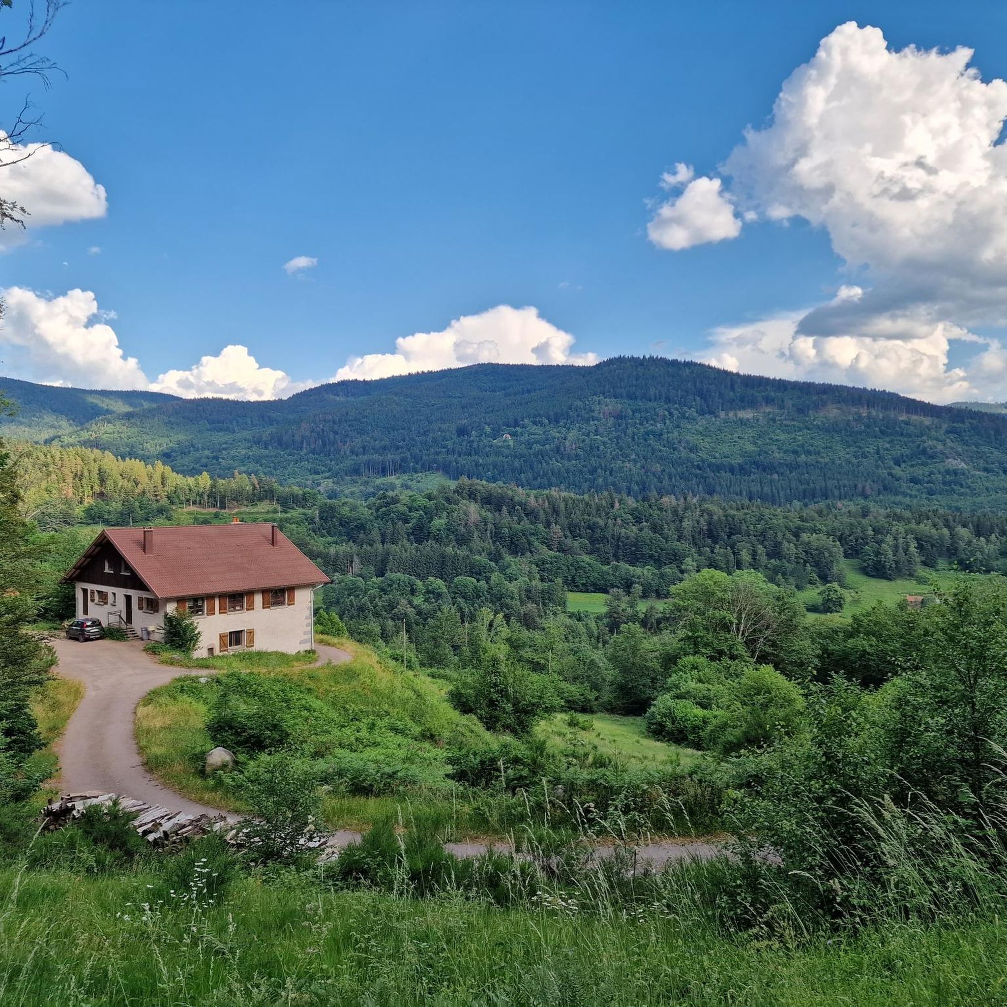
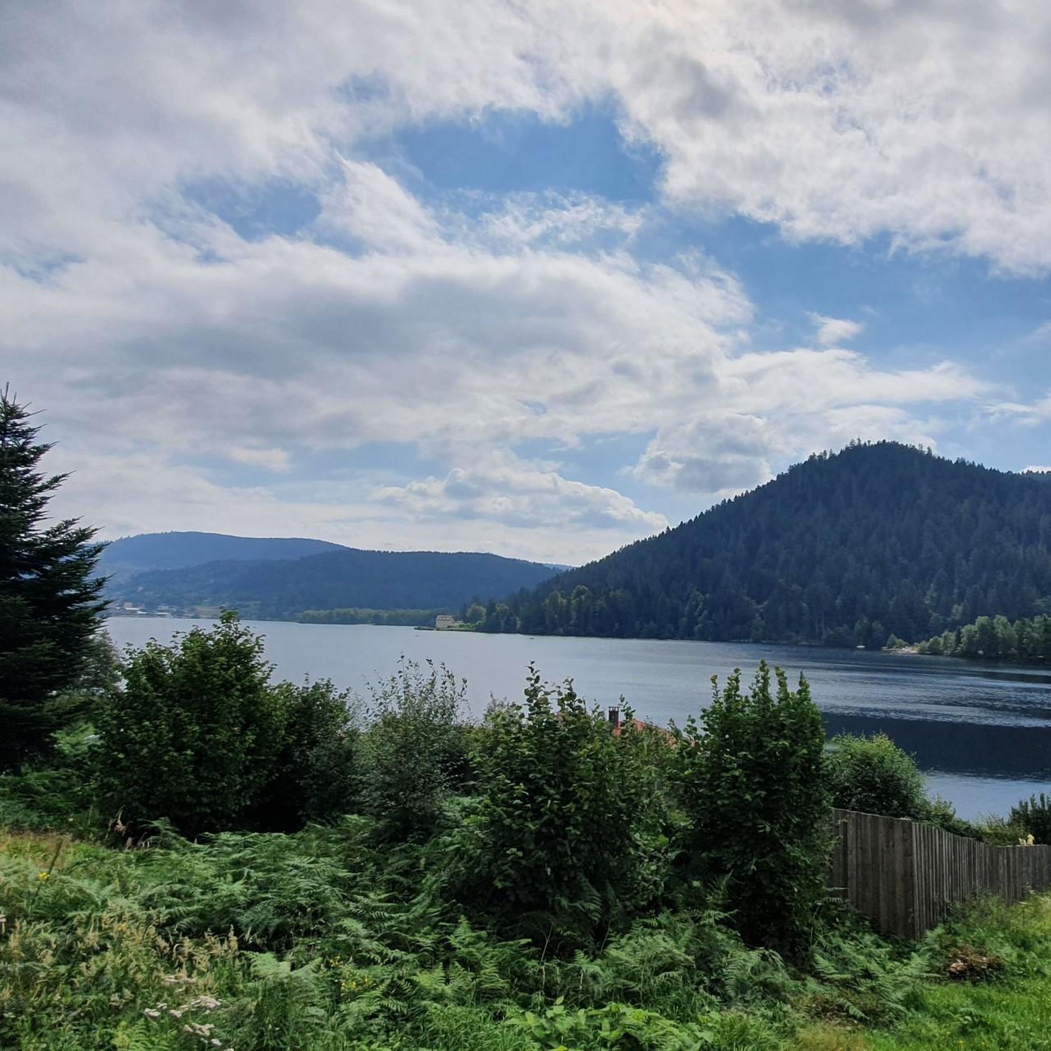
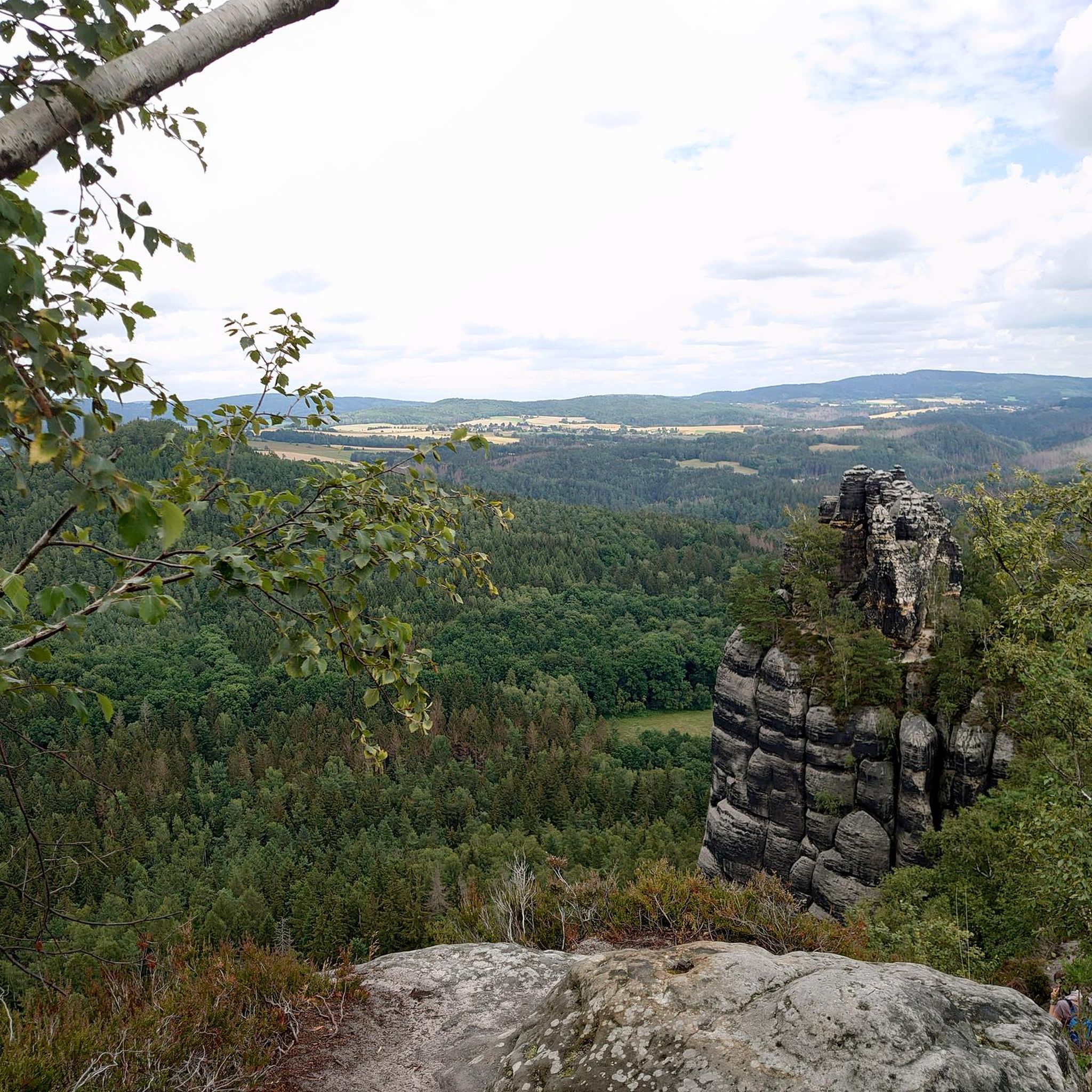


Tips from the Community

Beautiful church in Pouxeux https://pouxeux.catholique88.fr/lieu/eglise-saints-gorgon-et-nabord
3
0
The Town Hall of Archettes http://www.mairie.archettes.fr/
2
0

100 meters detour from the main circuit
0
0
Frequently Asked Questions
How many hiking trails are available in Forêt De Tannières?
Forêt De Tannières offers a wide selection of hiking opportunities, with over 160 routes available. These trails cater to various preferences, including easy strolls, moderate treks, and more challenging paths for experienced hikers.
What is the general terrain and difficulty level of hikes in Forêt De Tannières?
The terrain in Forêt De Tannières is characterized by dense woodlands, valleys, and potentially hills, reflecting its location in a region similar to the Vosges. You'll find a mix of easy routes up to two hours long with minimal elevation, moderate trails up to five hours with up to 1,000 meters of elevation, and difficult paths exceeding five hours or 1,000 meters of elevation. The forest provides a serene environment with diverse flora.
Are there any family-friendly hiking options in Forêt De Tannières?
Yes, Forêt De Tannières has numerous family-friendly options. There are 55 easy routes, many of which are suitable for all ages and fitness levels. These paths are generally shorter and have minimal elevation gain, making them perfect for a leisurely outing with children. For example, the Town Hall of Archettes loop from Archettes is an easy 1.6-mile path with very little elevation.
Can I bring my dog on the hiking trails in Forêt De Tannières?
Generally, dogs are welcome on hiking trails in Forêt De Tannières, but it's always recommended to keep them on a leash, especially to protect local wildlife and ensure a pleasant experience for all hikers. Check specific trail regulations if posted at trailheads, but most forest paths are dog-friendly.
What kind of natural features or landmarks can I expect to see while hiking?
While specific detailed landmarks are not extensively documented, the region's natural beauty is its main attraction. You can expect dense woodlands, diverse flora, and potentially rivers or streams. Drawing parallels from similar French forest areas, there might be unique geological formations, and the forest is known for its natural revival in spring with budding leaves and awakening wildlife.
Are there many circular hiking routes in Forêt De Tannières?
Yes, many of the trails in Forêt De Tannières are designed as loops, offering convenient circular walks. For instance, the popular Town Hall of Archettes loop from Arches is a 3.2-mile circular route. Loop trails allow you to start and end at the same point without retracing your steps, providing varied scenery throughout your hike.
What is the best time of year to go hiking in Forêt De Tannières?
The best time to hike in Forêt De Tannières largely depends on your preference. Spring is particularly beautiful with the forest's natural revival, budding leaves, and awakening wildlife. Autumn offers stunning fall foliage. Summer provides warm weather for longer hikes, while winter can offer a unique, serene experience if you are prepared for colder conditions and potential snow.
How can I get to the trailheads, and is parking available?
Access to trailheads in Forêt De Tannières typically involves driving, and parking is generally available near popular starting points. For routes like the Pouxeux train station – Church of Saints Gorgon and Nabord loop from Pouxeux, you might find options for public transport connections, such as train stations, which can serve as convenient starting points for your hike.
What do other hikers say about their experience in Forêt De Tannières?
The hiking routes in Forêt De Tannières are highly regarded by the komoot community, holding an average rating of 4.5 stars from over 1,400 reviews. Hikers often praise the serene natural environment, the dense woodlands, and the diverse flora. Many appreciate the variety of trails available, catering to different fitness levels.
Are there any longer, more challenging hikes for experienced trekkers?
Yes, Forêt De Tannières offers 12 difficult routes for experienced hikers. These trails often exceed five hours in duration or involve more than 1,000 meters of elevation gain, demanding a very good physical condition. An example is the Pouxeux train station – Church of Saints Gorgon and Nabord loop from Pouxeux, which is a difficult 11.6-mile route.
Are there any cafes or accommodation options near the hiking trails?
While specific cafes or accommodations directly on the trails are not detailed, the region around Forêt De Tannières, being a popular outdoor destination, likely offers various options in nearby towns and villages. For instance, the Nice restaurant – Forest Path loop from Docelles suggests that dining options are accessible from some routes. It's advisable to check local listings for specific establishments.
What is the typical duration of hikes in Forêt De Tannières?
The duration of hikes in Forêt De Tannières varies significantly. Easy routes can be as short as 1-2 hours, while moderate trails might take up to five hours. For more challenging and difficult paths, you should plan for hikes exceeding five hours. For example, the Nice restaurant – Forest Path loop from Docelles is a moderate 9.9-mile trail typically completed in about 4 hours 38 minutes.
Most popular routes in Forêt De Tannières

Get inspired with the komoot mobile app


Explore more
Browse the best Hikes in other regions.
