The 5 Most Amazing Peaks around Mühlental
Best mountain peaks around Mühlental are characterized by scenic hilly landscapes and wooded areas rather than towering peaks. Situated at an elevation of approximately 500 meters in the foothills of the Western Ore Mountains, the region offers numerous opportunities for hiking and exploring its elevated terrain. The charm of Mühlental lies in its extensive network of hiking trails that lead to various elevated viewpoints. These trails provide rewarding experiences with diverse natural features and cultural points of interest.
Best mountain…
Last updated: July 1, 2026
Wendelstein
Highlight • Natural Monument
Adventure in a small space
wonderful nature experience
Translated by Google •
Tip by

Wirtsberg with "lemon squeezer"
Highlight • Viewpoint
Translated by Google •
Tip by

Sign up now to discover places like this
Get recommendations on the best single tracks, peaks, & plenty of other exciting outdoor places.
Sign up for free
Bismarck Tower on the Kemmler
Highlight • Monument
Translated by Google •
Tip by

Bismarck Tower Markneukirchen
Highlight • Monument
Translated by Google •
Tip by

Wendelstein Rock Formation and Triangulation Point
Highlight • Natural Monument
Translated by Google •
Tip by

Sign up for free to discover even more peaks around Mühlental.
Sign up for free
Already have an account?
Start today with a free account
Your next adventure awaits.
Login or Signup

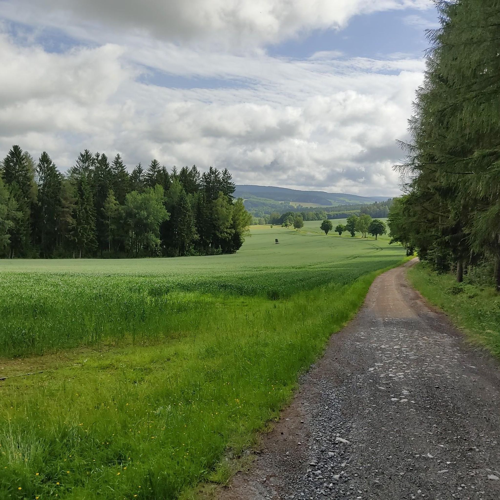
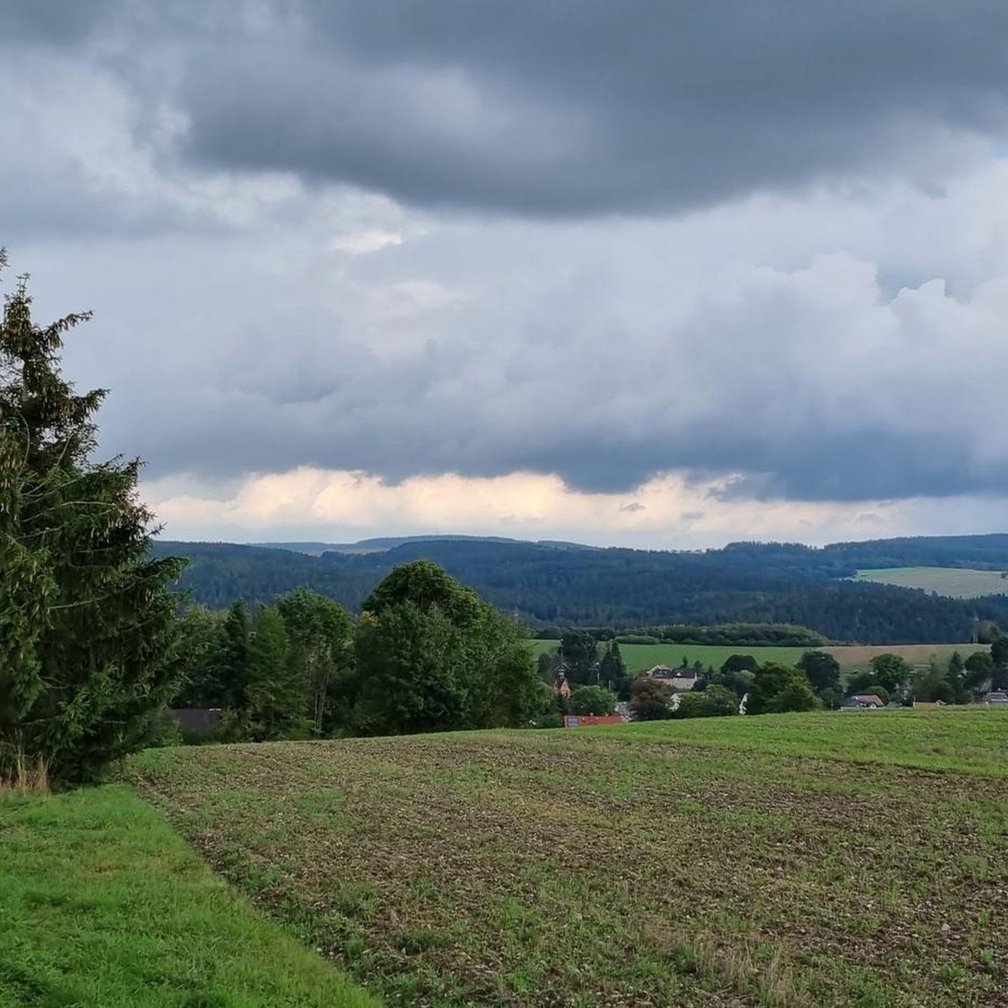
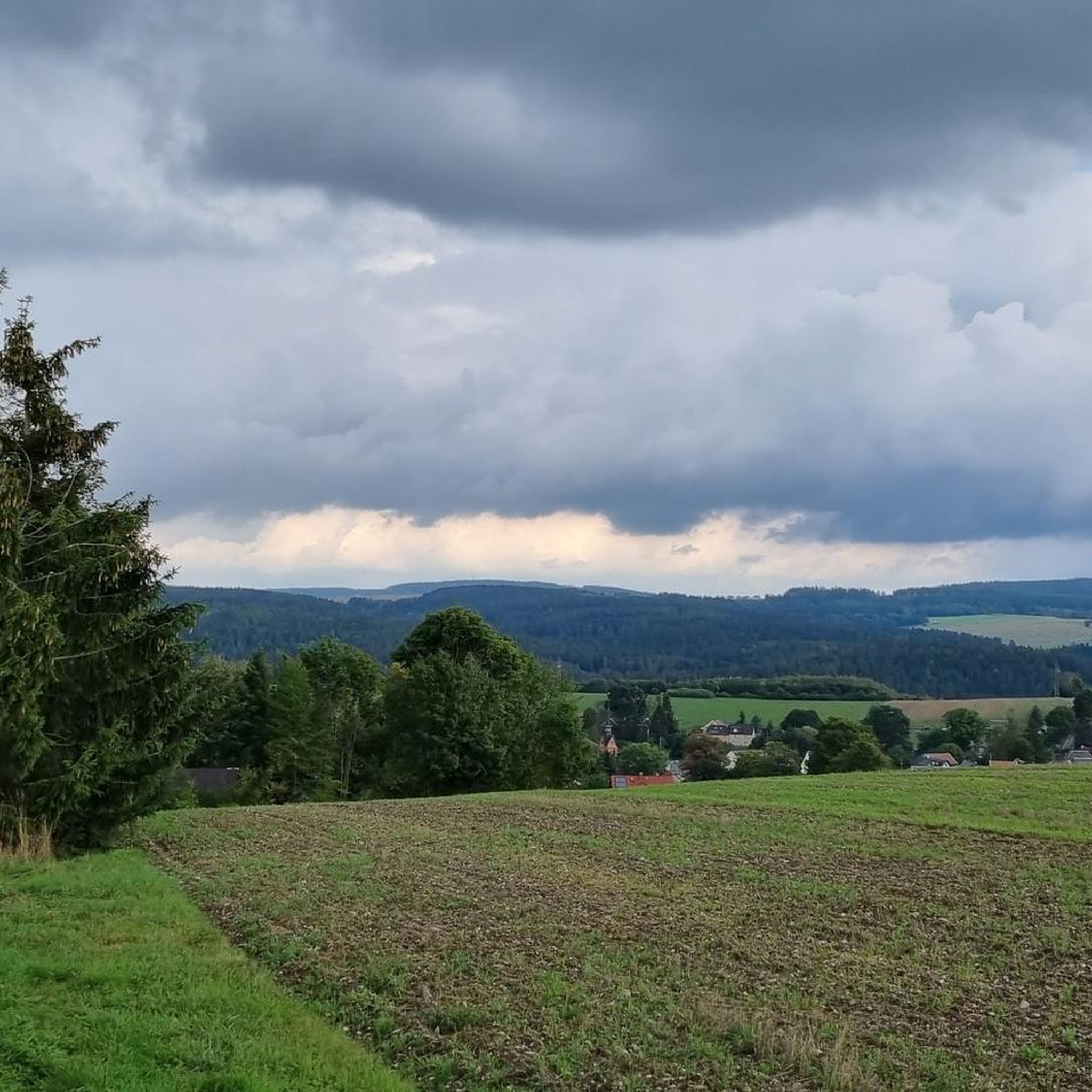
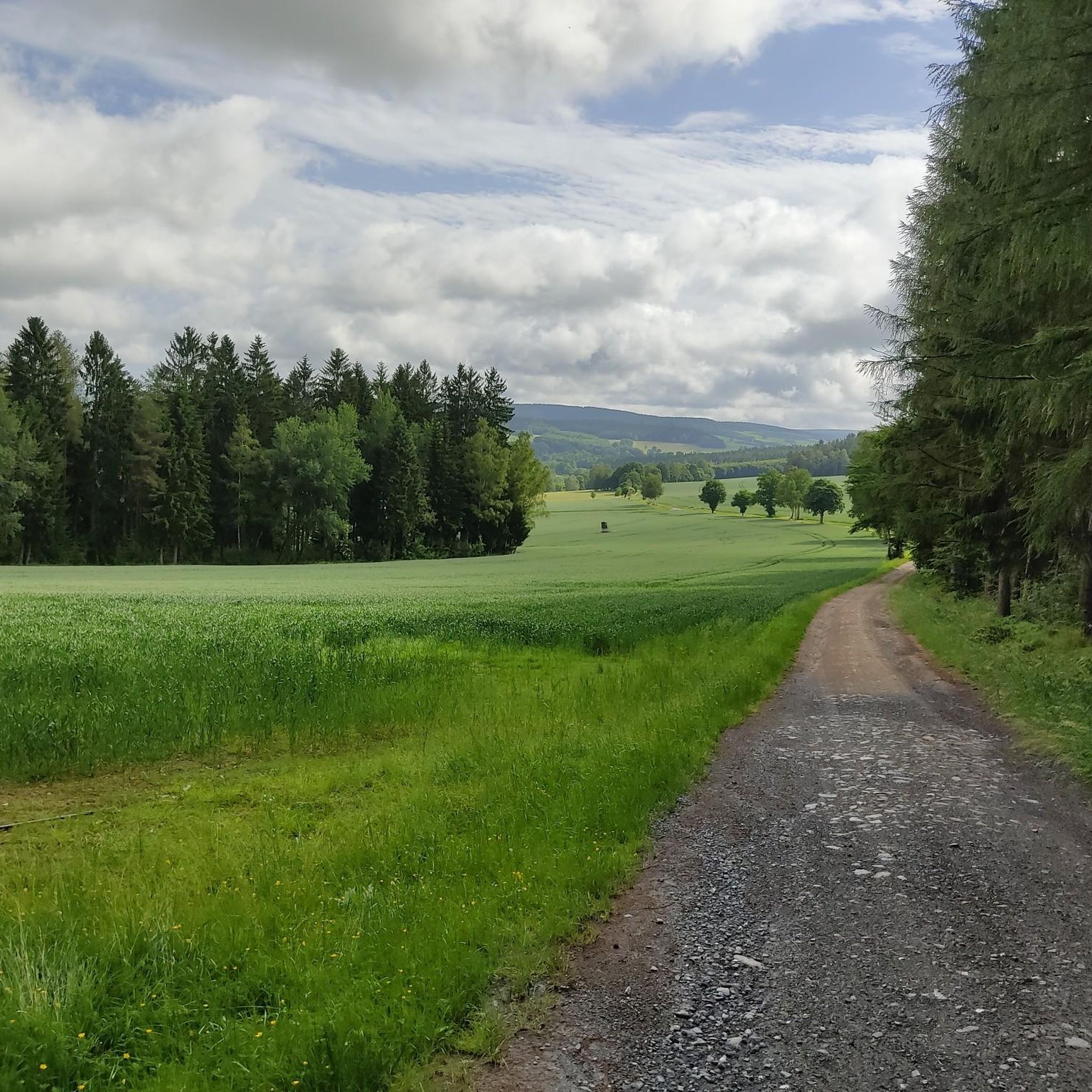
Tips from the Community

The rock formation is visible from afar. And from the top, you also have a great view. It's a bit more difficult to climb the rock in cycling shoes, as it's quite smooth and drops steeply to one side. Once at the top, you'll find a station of the Royal Saxon Triangulation Survey. "The Royal Saxon Triangulation (here with its historical proper name) is a national survey carried out between 1862 and 1890 on the territory of the Kingdom of Saxony, with the simultaneous creation of a trigonometric network. The goal was to record the territory with scientific and geodetic precision and, by establishing permanently marked reference points, to create the basis for the production of accurate maps." - https://de.wikipedia.org/wiki/K%C3%B6niglich-S%C3%A4chsische_Triangulirung The triangulation network created by August Nagel was considered one of the most precise surveying networks in the world at the time. The Nagel columns are now preserved as technical monuments. From station 152 Wendelstein, the stations Marienhöhe, Schönheide, Kiel, Schöneck, Lottengrün, and Wilhelmshöhe were sighted.
1
0

The Wendelstein (734 m) is part of a long chain of rocky cliffs that jut sharply out of the earth. This striking rock formation begins at the "Hoher Stein" (Czech Republic), continues via the "Alter Söll" (Schöneck), the "Rehhübel," "Rinnelstein," "Großer Affenstein," "Kleiner Affenstein," "Genesenstein," "Wendelstein," and "Schwarzer Stein" (all Grünbach) to the "Bendelstein" near Auerbach. The Wendelstein, like all the others, is composed of greywacke quartzite. This is a dark gray, mostly highly consolidated sandstone composed of feldspar, chlorite, and mica, with a high proportion of slate and quartzite. About 500 million years ago, the Vogtland region was covered by a shallow sea. Sand and mud settled on the bottom, which subsequently solidified into sandstone and slate, the sedimentary rock, due to climate change and landslide. Forced upwards under enormous heat and pressure, phyllite and quartzite were formed. (https://www.gruenbach.de/freizeit_aktiv)
0
0
Station 153 of the Royal Saxon Triangulation is located on the Kemmler hill. "The Royal Saxon Triangulation (here referred to by its historical name) is a land survey conducted between 1862 and 1890 in the territory of the Kingdom of Saxony, which also involved the creation of a trigonometric network. The aim was to map the territory with scientific and geodetic precision and, by establishing permanently marked control points, to create the basis for the production of accurate maps." - https://de.wikipedia.org/wiki/K%C3%B6niglich-S%C3%A4chsische_Triangulirung The triangulation network created by August Nagel was considered one of the most accurate surveying networks in the world at the time. Nagel's columns are preserved today as technical monuments. This one stands behind the tower. ``` From the "Kemmlerberg" station, the stations targeted from north to south in a clockwise direction were Kuhberg, Wilhelmshöhe, Wendelstein, Lottengrün, Bergen, Platzerberg, Kandelstein, Stelzen and Syrau.
2
0
The Wendelstein has been protected as a geological natural monument since November 5, 1938. A triangulation column dated 1864 was erected on the highest part of the rock, representing a second-order survey point in the course of the historic Saxon national survey. The Wendelstein is 734 m above sea level and is part of a long chain of rocky cliffs that jut steeply out of the earth. This striking rock formation begins at the "Hoher Stein" (Czech Republic), continues via the "Alter Söll" (Schöneck), the "Rehhübel," "Rinnelstein," the "Großer Affenstein" and "Kleiner Affenstein," the "Genesenstein," "Wendelstein," and the "Schwarzer Stein" (all Grünbach) to the "Bendelstein" near Auerbach. (https://www.gruenbach.de/freizeit_aktiv/gehenswertes_rund_um_gruenbach-muldenberg/wendelstein/index.php)
0
0

There is a small hut and a few benches here. Ideal for a short rest.
0
0

Beautiful rock. It's worth a detour.
0
0

At the top of the Wendelstein there is a historic triangulation column and a summit cross.
0
0

To get there you should be sure-footed. I would advise against climbing when it is wet.
3
0
Frequently Asked Questions
What are some of the most notable elevated points or "peaks" to explore in Mühlental?
While Mühlental is known for its scenic hilly landscapes rather than towering mountain peaks, several elevated points offer rewarding experiences. Among them are Wendelstein, a natural monument with unique rock formations, and the Bismarck Tower on the Kemmler, which provides panoramic views. Another significant point is Moritzberg (730 m), located directly on the Grenzweg/steig.
What kind of views can I expect from the elevated points in Mühlental?
From various elevated viewpoints, you can expect panoramic vistas of the surrounding Vogtland region, including the town of Oelsnitz/Vogtl., the municipality of Mühlental, and the municipality of Eichigt. The Bismarck Tower on the Kemmler, for instance, offers a fabulous all-round view of Plauen and the surrounding area.
Are there any unique natural features among the elevated points in Mühlental?
Yes, Wendelstein is a natural monument known for its bizarre and wonderful rock formations, offering a unique nature experience in a small space. The Wendelstein Rock Formation and Triangulation Point near Grünbach also features a beautiful rock group in the forest.
Are there historical or man-made landmarks on the elevated points in Mühlental?
The Bismarck Tower on the Kemmler is a prominent man-made monument and a historical site, offering a lookout tower with extensive views. Additionally, the Wendelstein Rock Formation and Triangulation Point includes a station of the Royal Saxon Triangulation Survey, preserved as a technical monument.
What is the general difficulty level of hiking to the elevated points in Mühlental?
The hiking trails in Mühlental vary in difficulty. Some routes, like certain stages of the Ridge Trail, are considered difficult and require good fitness and sure-footedness, especially for sections with significant elevation changes. For example, reaching Wendelstein requires sure-footedness, and climbing is advised against when wet. Other trails, such as the Vogtland Knollensteig, are moderately challenging, while many circular hiking trails cater to different fitness levels.
Are there any family-friendly options for exploring the elevated terrain in Mühlental?
Mühlental offers a variety of circular hiking trails that are suitable for different fitness levels, including paths that are accessible and enjoyable for families. These routes often lead through scenic hilly landscapes and valleys, providing constant changes in scenery without overly demanding climbs. While specific 'family-friendly' categories aren't listed for individual highlights, the general network of trails allows for choosing easier options.
What outdoor activities can I do near the elevated points in Mühlental?
Beyond hiking, the Mühlental region offers diverse outdoor activities. You can explore numerous mountain biking trails, with options ranging from easy to difficult, such as the "Voigtsberg Castle – View of Voigtsberg Castle loop from Hartmannsgrün" or the more challenging "Schöneck Quarry Pond – View of Plauen loop from Gunzen." Road cycling routes are also available, including the "Sculpture Park Bad Elster – Scenic Rural Road in Vogtland loop from Wohlbach." For more details, you can check the MTB Trails around Mühlental, Hiking around Mühlental, and Road Cycling Routes around Mühlental guides.
Are there dedicated hiking trails near these elevated points?
Yes, Mühlental boasts an extensive network of hiking trails that lead to and connect various elevated viewpoints. Notable examples include stages of a ridge trail, such as "Ridge trail stage 14 'From Schoeneck to Eichigt'," and the "Vogtland Knollensteig." Many circular hiking trails also traverse the region's scenic hilly landscapes. For specific routes, refer to the Hiking around Mühlental guide.
What is the best time of year to visit Mühlental for hiking?
The region's rolling hills and wooded areas make it enjoyable across multiple seasons. Spring and autumn offer pleasant temperatures and vibrant natural colors, ideal for hiking. Summer provides longer daylight hours, while winter can transform the landscape into a serene, snow-covered environment, though specific winter hiking conditions should be checked.
What do visitors enjoy most about the elevated points in Mühlental?
Visitors particularly appreciate the diverse natural features and cultural points of interest found along the trails. The unique rock formations of Wendelstein are often highlighted for their bizarre beauty. The panoramic views from spots like the Bismarck Tower on the Kemmler are also a major draw, offering expansive vistas of the surrounding area. The overall charm lies in the extensive network of trails that provide rewarding experiences.
Are there options for refreshments or places to eat near the hiking trails?
Yes, many of the hiking routes in Mühlental and the broader Vogtland region include opportunities for refreshments. While specific cafes or pubs are not detailed for every elevated point, the network of trails often passes through or near villages and towns where you can find places to eat and drink, enriching the outdoor experience.
Can I find information about parking or public transport to access these elevated points?
While specific parking details for each individual elevated point are not provided, the region's hiking trails are generally accessible. For detailed information on parking and public transport options to trailheads, it is advisable to consult local tourist information or specific route descriptions within the komoot guides for the Mühlental area.
Most popular routes around Mühlental
Most popular attractions around Mühlental

Get inspired with the komoot mobile app


Explore more
See even more amazing summits around Mühlental with these guides:
