The best walks and hikes in Haisterkircher Rücken
4.5
(3605)
15,645
hikers
546
hikes
Hiking trails in Haisterkircher Rücken traverse a landscape defined by extensive forests, nature reserves, and gentle hills. The region features the Wurzacher Ried Nature Reserve, which includes unique boardwalk trails. Viewpoints such as Grabener Höhe offer panoramic vistas over the surrounding area. These varied natural features provide diverse terrain for hikers.
Best hiking trails in Haisterkircher Rücken
- The most popular hiking route is Wurzacher Ried Nature Trail – Boardwalk in the Wurzacher Ried Nature Reserve loop from Haidgau, a…
Last updated: July 4, 2026
4.8
(9)
39
hikers
Easy hike. Great for any fitness level. Easily-accessible paths. Suitable for all skill levels.
3.8
(5)
10
hikers
6.65km
01:51
120m
120m
Easy hike. Great for any fitness level. Easily-accessible paths. Suitable for all skill levels.

Sign up for free
5.0
(2)
11
hikers
13.3km
03:45
280m
280m
Moderate hike. Good fitness required. Easily-accessible paths. Suitable for all skill levels.
5.0
(2)
15
hikers
9.01km
02:27
130m
130m
Moderate hike. Good fitness required. Easily-accessible paths. Suitable for all skill levels.
5.0
(1)
8
hikers
4.47km
01:14
70m
70m
Easy hike. Great for any fitness level. Easily-accessible paths. Suitable for all skill levels.
Get access to more routes and recommendations from other explorers.
Sign up for free
Already have an account?
Our route recommendations are based on thousands of hikes, rides, and runs completed by other people on komoot.
Start today with a free account
Your next adventure awaits.
Login or Signup
Tips from the Community

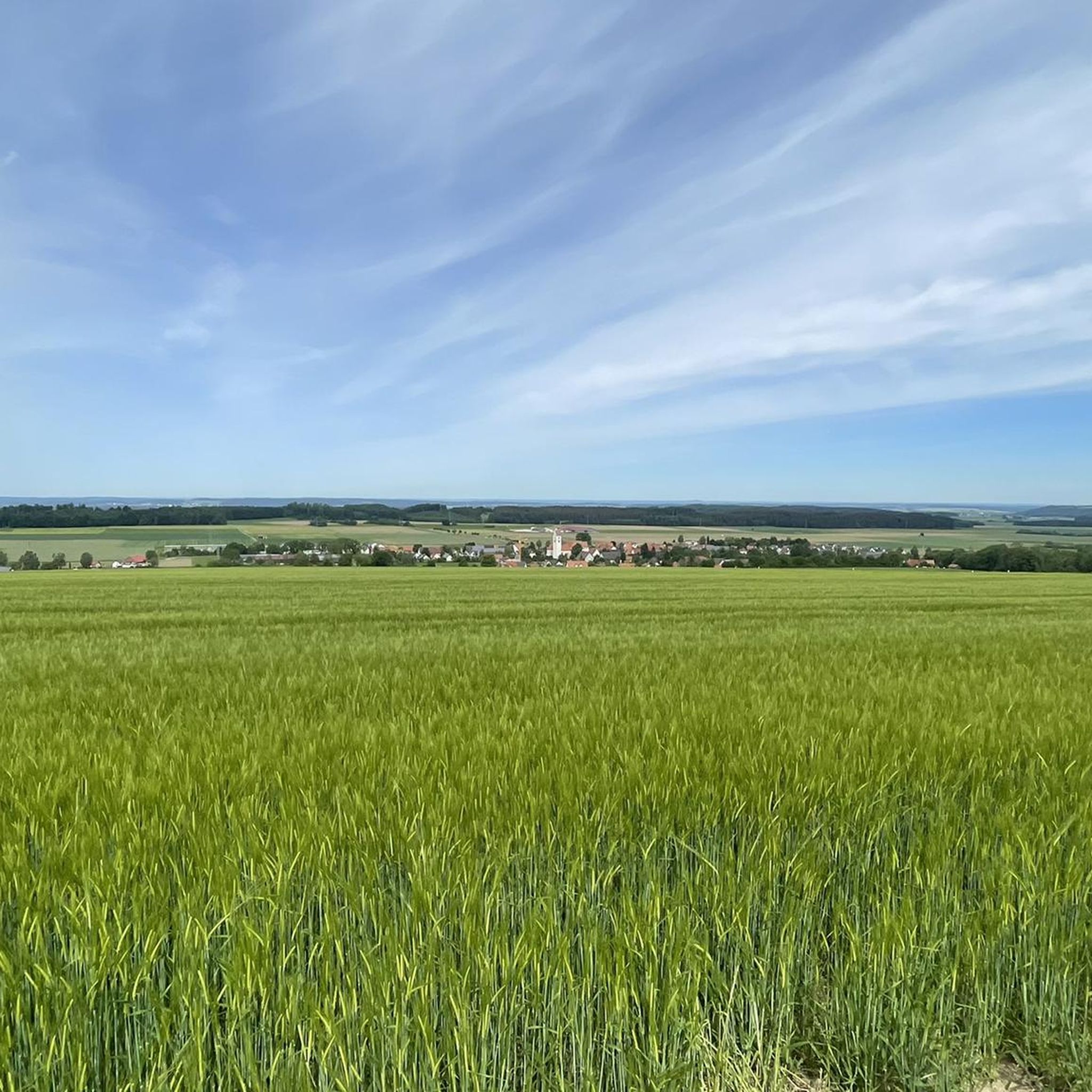
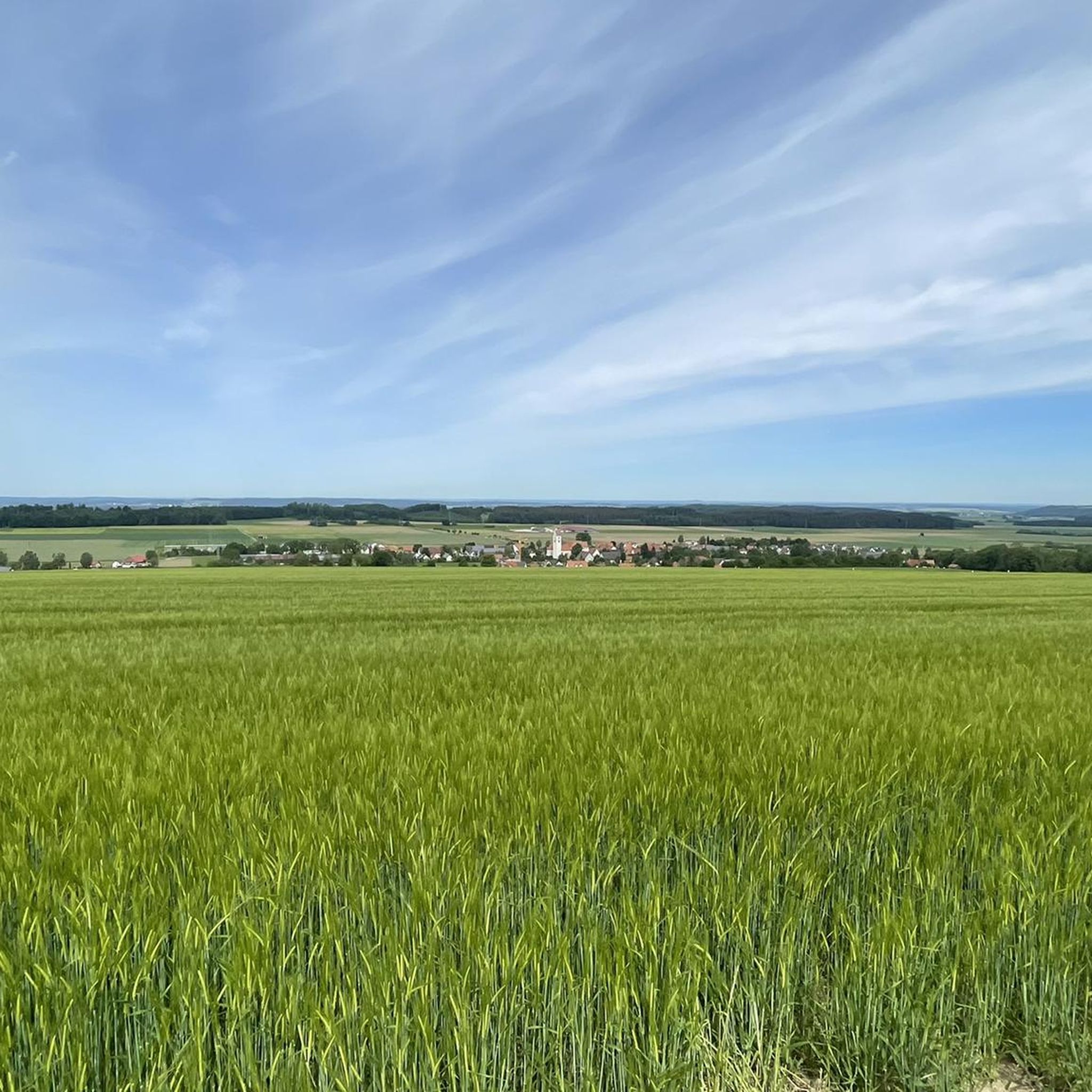
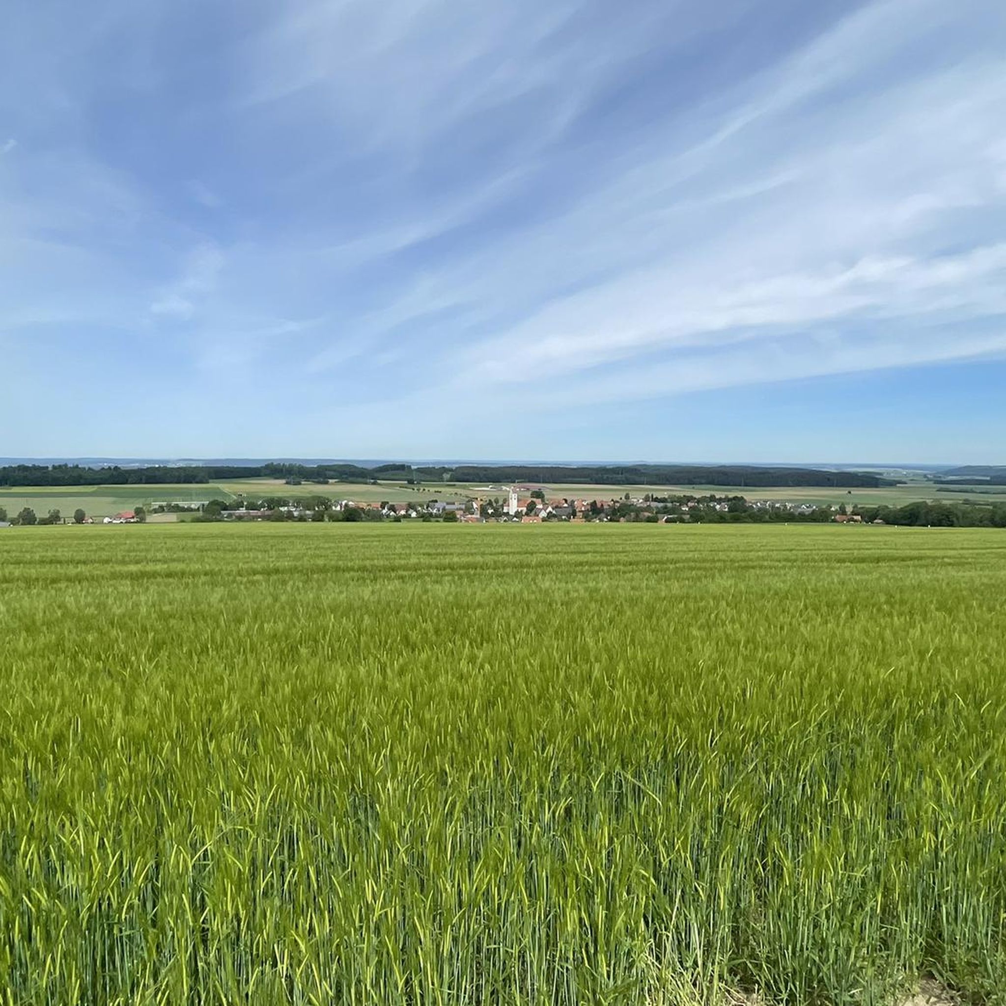
Beautiful view of fields, the Wurzacher Ried and the mountains.
0
0

Beautiful path, sometimes a bit muddy depending on the weather, or would one say boggy in this case.
0
0
Beautiful path through the moorland with fantastic nature
0
0
Beautiful paths through the moorland and great nature.
0
0

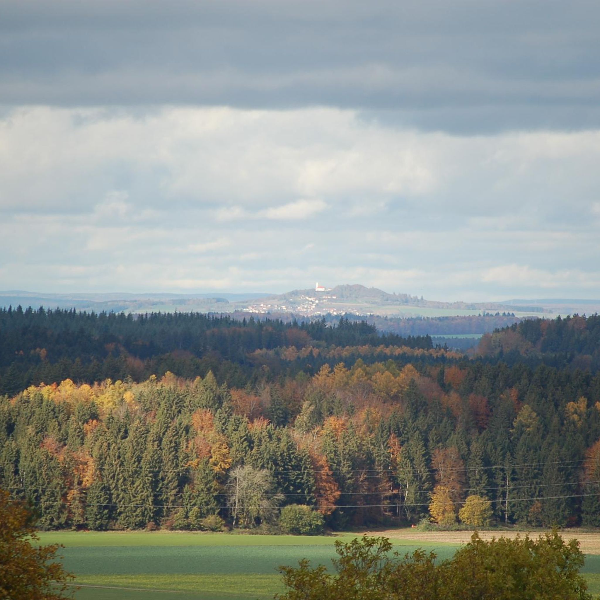
A striking mountain in Upper Swabia with fantastic panoramic views. The opportunity to test your orientation and local knowledge, both in the immediate vicinity and as far as the Alps.
0
0

The beautiful chapel at 758 meters is very popular with pilgrims, and not just on January 20, St. Bastian's Day. Located in the middle of the forest, the extremely well-maintained chapel is a real eye-catcher.
4
1

Chapel and wayside cross with a view of the Wurzacher Ried
0
0

Super beautiful path through the reed belt.
0
0
Frequently Asked Questions
How many hiking trails are available in Haisterkircher Rücken?
Haisterkircher Rücken offers a wide variety of hiking experiences with over 500 routes. These include more than 300 easy trails, 200 moderate options, and a few challenging paths, catering to all skill levels.
Are there easy or beginner-friendly hikes in Haisterkircher Rücken?
Yes, the region is excellent for beginners and those seeking easy walks. Over 300 of the available routes are classified as easy. A great option is the Wurzacher Ried Nature Trail – Boardwalk in the Wurzacher Ried Nature Reserve loop from Haidgau, which is 3.8 miles (6.1 km) and features accessible boardwalks through a unique nature reserve.
What are the best circular walks in Haisterkircher Rücken?
Many of the trails in Haisterkircher Rücken are circular, offering convenient starting and ending points. For scenic views, consider the View from Grabener Höhe loop from Haisterkirch, an easy 3.1-mile (5.0 km) path that leads to a prominent viewpoint.
Are there any viewpoints or scenic spots along the trails?
Absolutely. The region is known for its panoramic vistas. The Grabener Höhe is a key viewpoint offering expansive views of Haistergau, Umlachtal, and the Bussen. You can experience this on routes like the View from Grabener Höhe – View of Wurzacher Ried loop from Osterhofen.
What kind of natural features can I expect to see while hiking here?
Haisterkircher Rücken is characterized by extensive forests, gentle hills, and significant nature reserves. The Wurzacher Ried Nature Reserve is a highlight, featuring unique boardwalk trails through its wetlands, providing a close-up experience with diverse flora and fauna.
Are there any family-friendly hiking options in Haisterkircher Rücken?
Yes, the abundance of easy and relatively short trails makes Haisterkircher Rücken suitable for families. The boardwalks in the Wurzacher Ried Nature Reserve offer an engaging and accessible experience for all ages. Many trails are well-maintained and have minimal elevation gain.
What do other hikers say about the trails in Haisterkircher Rücken?
The trails in Haisterkircher Rücken are highly rated by the komoot community, with an average score of 4.6 stars from over 3,300 reviews. Hikers often praise the quiet woodlands, well-marked paths, and the diverse natural scenery, especially the views from Grabener Höhe and the unique experience of the Wurzacher Ried boardwalks.
Are there any historical or cultural landmarks to explore near the hiking routes?
Yes, you can combine your hike with visits to local landmarks. The Pilgrimage Chapel of St. Sebastian is a notable religious site in the area. Additionally, the Bengelesweg (Hittelkofen Bastiani Trail) offers a glimpse into local history and culture.
What is the best time of year to hike in Haisterkircher Rücken?
The region is enjoyable year-round. Spring brings blooming wildflowers and fresh greenery, while autumn offers vibrant fall foliage. Summer is ideal for longer days and warmer weather, and even in winter, the snow-covered forests can provide a peaceful hiking experience, though some trails might require appropriate gear.
Are there any longer, more challenging hikes for experienced hikers?
While the region is known for its easy and moderate trails, there are a few longer options for those seeking more of a challenge. The View of the Alps from Allgäu – View from Grabener Höhe loop from Haidgau is a moderate 8.2-mile (13.3 km) route that offers significant elevation changes and rewarding views, including distant glimpses of the Alps on clear days.
Where can I find parking for the hiking trails in Haisterkircher Rücken?
Parking is generally available near the starting points of many popular trails, especially in and around the villages like Haidgau, Haisterkirch, and Osterhofen. Specific parking information is often detailed on individual route pages on komoot, helping you plan your access to the trailheads.
Are dogs allowed on the hiking trails in Haisterkircher Rücken?
Generally, dogs are welcome on most hiking trails in Haisterkircher Rücken. However, it's always recommended to keep them on a leash, especially in nature reserve areas like the Wurzacher Ried, to protect wildlife and ensure a pleasant experience for all hikers. Always check specific trail regulations if available.
Most popular routes in Haisterkircher Rücken
Most popular attractions in Haisterkircher Rücken

Get inspired with the komoot mobile app


Explore more
Browse the best Hikes in other regions.
