The best walks and hikes in Memminger Stadtwald
4.5
(5246)
20,479
hikers
1,096
hikes
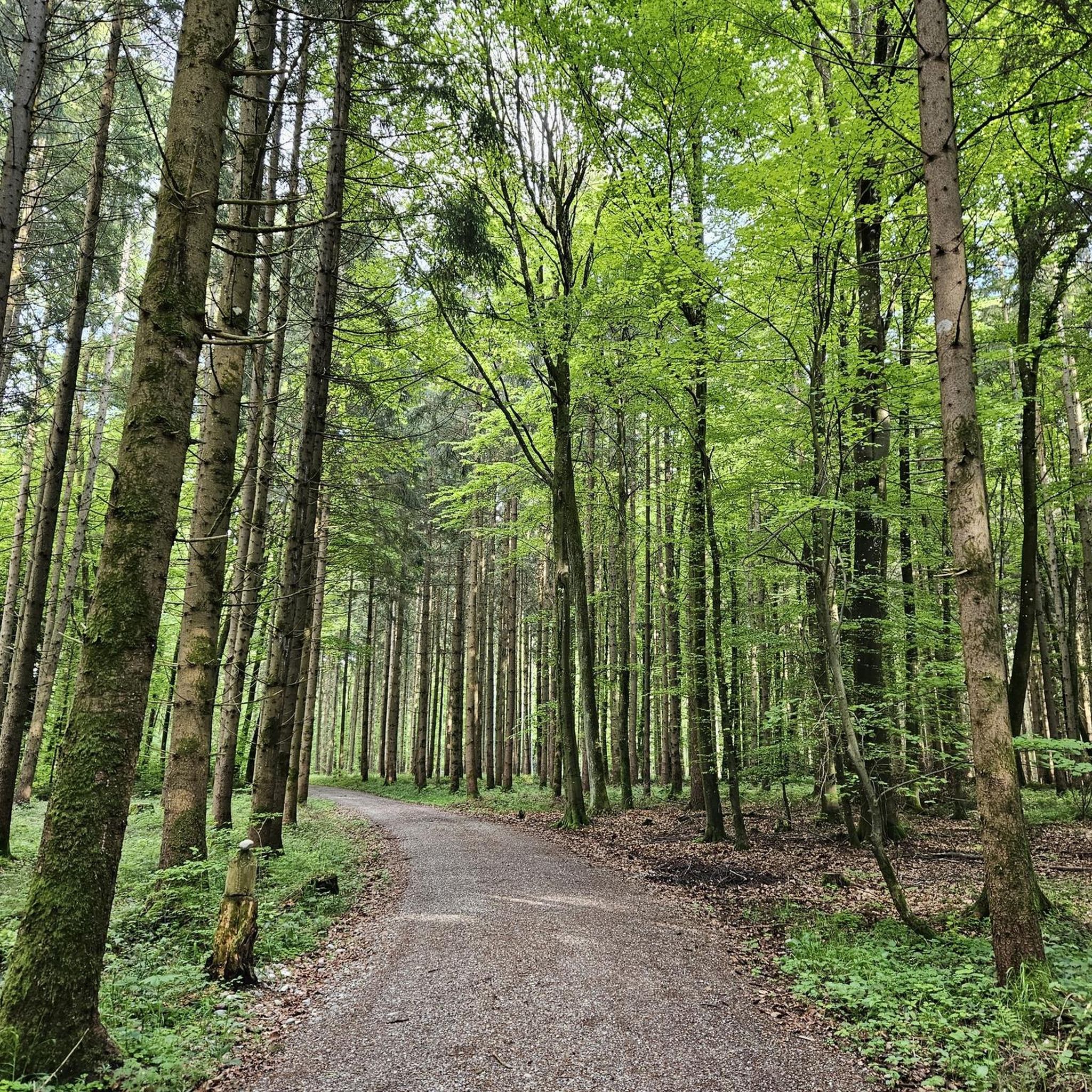
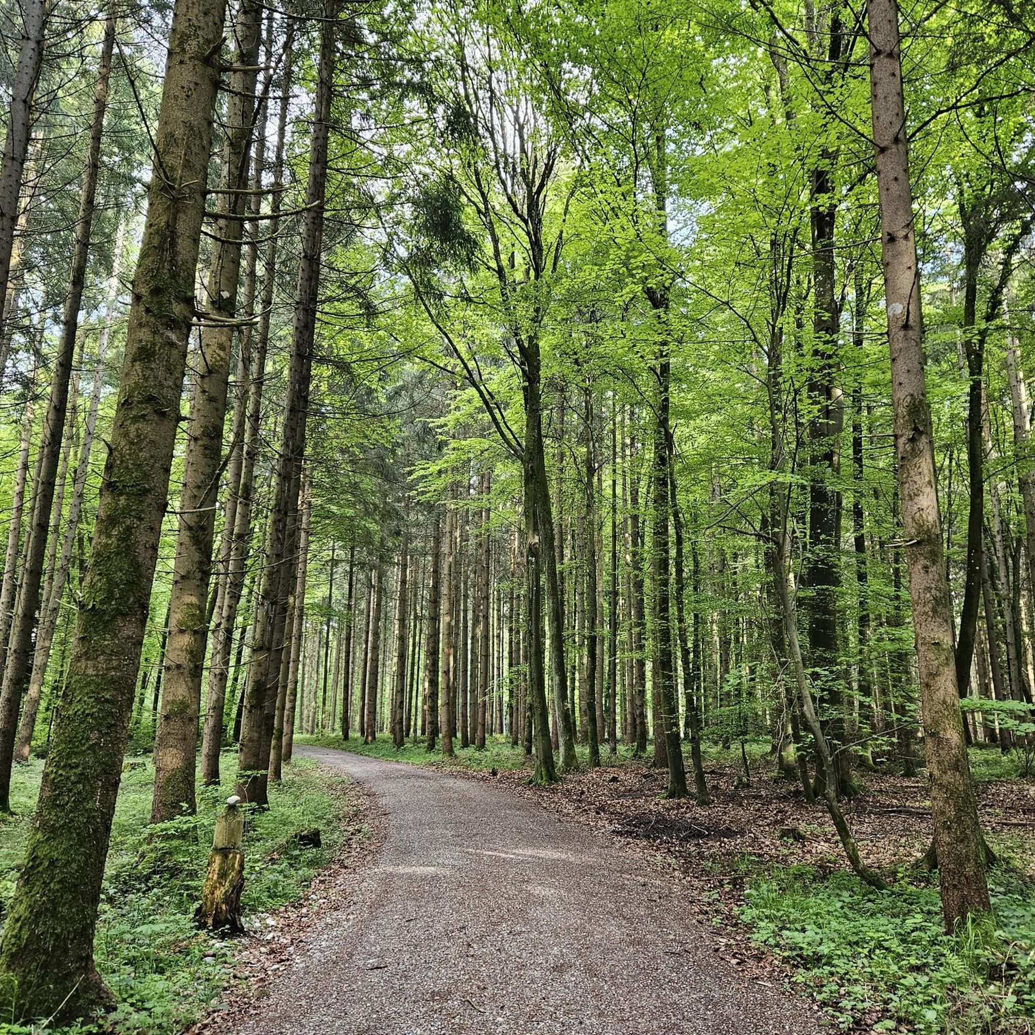
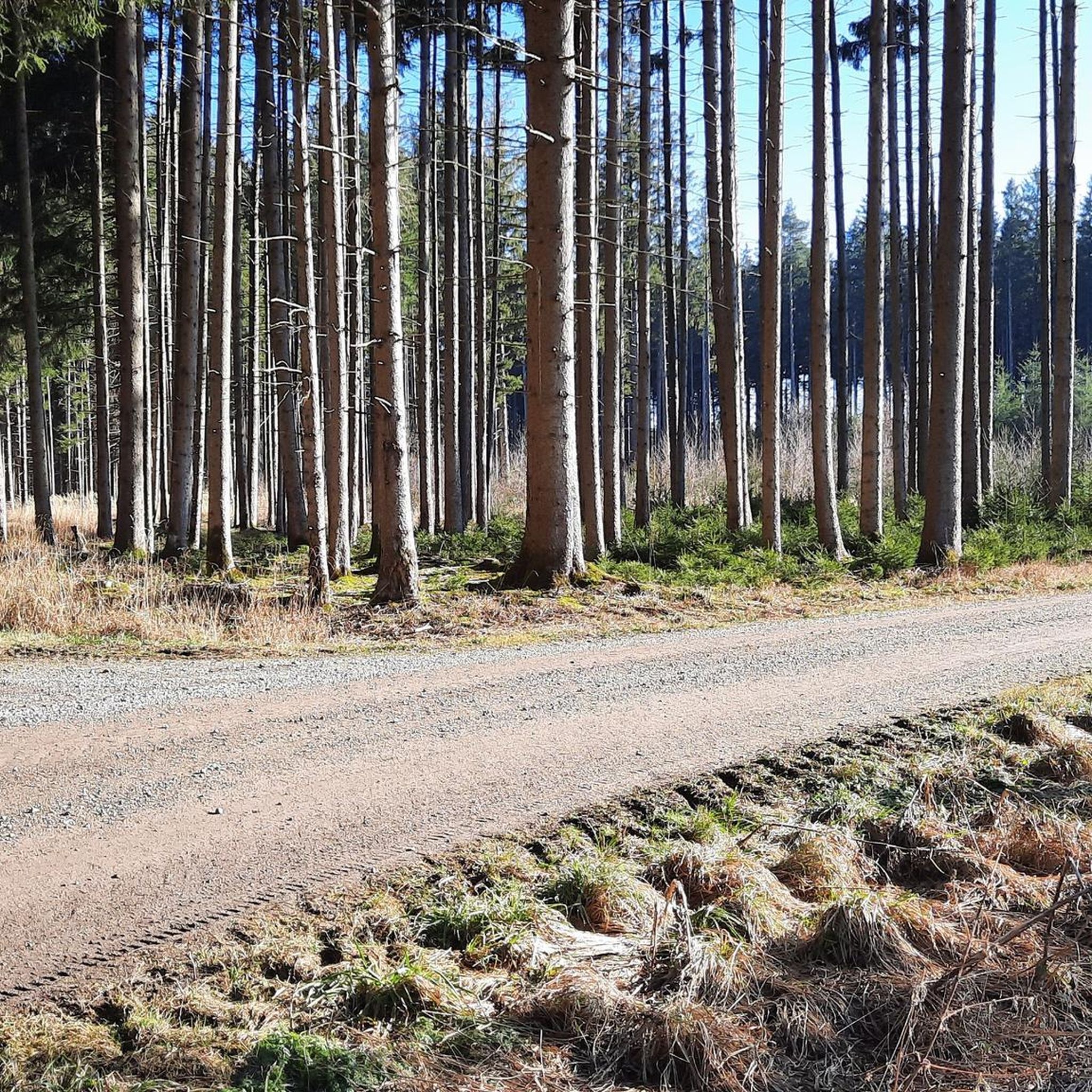
Hiking in Memminger Stadtwald offers a diverse natural environment characterized by expansive meadows, tranquil ponds, and meandering rivers within a managed forested setting. The area provides an extensive network of trails suitable for various outdoor activities. The Buxach river accompanies walkers on certain routes, adding to the scenic experience. This blend of natural features and well-maintained infrastructure makes it a popular destination for recreation.
Best hiking trails in Memminger Stadtwald
- The most popular hiking route is Wooden Sculpture Rest Area – Wooden Picnic Shelter loop from Im Dickenreis, a 4.4 miles (7.1 km) trail that takes 1 hour 52 minutes to complete. This easy route winds through the forest, offering views of the diverse landscape.
- Another top favourite among local hikers is Beautiful trail loop from Woringen, a moderate 3.3 miles (5.3 km) path. This trail features varied terrain, including forested sections and open areas, providing a balanced hiking experience.
- Local hikers also love the Old railway line to Kronburg – Beautiful trail loop from Dickenreishausen, a 2.3 miles (3.7 km) trail leading through a forested setting, often completed in about 56 minutes.
- Hiking in Memminger Stadtwald is defined by expansive meadows, tranquil ponds, and meandering rivers within a forested environment. The network offers options for easy and moderate ability levels.
- The routes in Memminger Stadtwald are highly rated by the komoot community with an average score of 4.5 stars from over 3,900 reviews. More than 17,000 hikers have used komoot to explore Memminger Stadtwald's varied terrain.
Last updated: September 28, 2026
4.8
(5)
29
hikers
Easy hike. Great for any fitness level. Easily-accessible paths. Suitable for all skill levels.
4.7
(3)
9
hikers
12.0km
03:18
190m
190m
Moderate hike. Good fitness required. Mostly accessible paths. Sure-footedness required.

5.0
(4)
15
hikers
5.57km
01:28
50m
50m
Moderate hike. Great for any fitness level. Mostly accessible paths. Sure-footedness required.
5.0
(1)
5
hikers
23.1km
06:18
340m
340m
Hard hike. Very good fitness required. Easily-accessible paths. Suitable for all skill levels.
11
hikers
6.05km
01:39
90m
90m
Easy hike. Great for any fitness level. Easily-accessible paths. Suitable for all skill levels.
Get access to more routes and recommendations from other explorers.
Already have an account?
Our route recommendations are based on thousands of hikes, rides, and runs completed by other people on komoot.
Start today with a free account
Your next adventure awaits.
Tips from the Community

I'm careful with highlights in the meantime, go in, it's worth it because the church is very well maintained. Inside, at first glance, a classic Catholic church with an altar, side altars, the pulpit, and the Way of the Cross. The 6 pictures from the life of Jesus are beautiful, as is the starry sky above the altar. Somewhat unusual is the coffered, detailed wooden ceiling, and with the simple color, the pictures on the side walls are more effective.
0
0

Very nicely designed fish ladder, the responsible parties have really put in a lot of effort.
0
0

The elaborately constructed fish ladder blends beautifully into the river landscape.
1
0

A particularly beautiful view of the Iller barrage can be found from the Iller Experience Bridge. Here, an approximately 80-meter-long suspension bridge connects the banks and leads directly to a 20-24-meter-high observation tower, from which you can overlook the Iller and the barrage, including the fish ladder.
5
0
The blue suspension bridge spans the river near Rotkreuz and offers an exciting crossing with a gentle sway – a popular photo spot and stop for hikers. Directly next to it is a freely accessible observation tower, from which you can enjoy magnificent views of the Iller and the surrounding landscape. Both locations are easily integrated into a circular hike and offer a beautiful combination of nature experience and views.
7
0
The suspension bridge spans the river near Rotkreuz and offers an exciting crossing with a gentle sway – a popular photo spot and stop for hikers. Directly next to it is a freely accessible observation tower, from which you can enjoy magnificent views of the Iller and the surrounding landscape. Both locations are easily integrated into a circular hike and offer a beautiful combination of nature experience and views.
5
0
Naturally designed facility to restore the passability for migratory fish species such as huchen, trout and eel 🐟.
5
0

Suspension bridge construction & observation tower
2
0
Frequently Asked Questions
How many hiking trails are available in Memminger Stadtwald?
Memminger Stadtwald offers a network of 12 hiking routes, ranging from easy strolls to moderate walks. This includes 9 easy trails and 3 moderate trails, ensuring options for various fitness levels.
Are there easy hiking trails suitable for beginners or families with children?
Yes, Memminger Stadtwald is very family-friendly, with 9 easy trails perfect for beginners or families. These routes often feature varied terrain, including forested sections and open areas. An example is the Old railway line to Kronburg – Beautiful trail loop from Dickenreishausen, which is 2.3 miles (3.7 km) long and typically takes less than an hour to complete.
Can I bring my dog on the hiking trails in Memminger Stadtwald?
The trails in Memminger Stadtwald are generally welcoming to dogs. The diverse natural environment with expansive meadows and forested paths provides a great setting for walks with your canine companion. Please ensure your dog is kept on a leash where required and always clean up after them.
What kind of natural features can I expect to see while hiking?
Hikers in Memminger Stadtwald will encounter a diverse landscape featuring expansive meadows, tranquil ponds, and meandering rivers. The Buxach river often accompanies walkers on certain routes, adding to the scenic experience within the managed forested setting.
Are there any historical sites or cultural attractions along the trails?
Yes, beyond the natural beauty, you can discover historical elements such as the remains of a Roman Burgus, an ancient military camp. Additionally, the baroque parish church in Dickenreishausen is located near some routes, offering a potential cultural detour.
Are there circular hiking routes available in Memminger Stadtwald?
Many of the trails in Memminger Stadtwald are designed as circular routes, allowing you to start and end at the same point. For example, the Wooden Sculpture Rest Area – Wooden Picnic Shelter loop from Im Dickenreis is a popular 4.4-mile (7.1 km) loop that winds through the forest. You can find more information on circular trails on the Memmingen tourism website.
What is the best time of year to go hiking in Memminger Stadtwald?
Memminger Stadtwald is enjoyable year-round. Spring brings fresh greenery, summer offers shaded paths, autumn showcases vibrant foliage, and even winter provides a serene, quiet experience. The well-maintained paths make it accessible in most conditions.
Where can I park when visiting Memminger Stadtwald for a hike?
The Memminger Stadtwald has dedicated parking areas that are consistently kept in good condition for visitors. These are typically located at key access points to the trail network, making it convenient to start your hike.
Is Memminger Stadtwald accessible by public transport?
While specific public transport routes directly into the heart of the Stadtwald may vary, Memmingen itself is well-connected. You can often reach the vicinity of the forest by local buses, with a short walk to the trailheads. It's advisable to check local bus schedules for the most current information.
What do other hikers say about their experience in Memminger Stadtwald?
The hiking routes in Memminger Stadtwald are highly rated by the komoot community, with an average score of 4.5 stars from over 3,900 reviews. Hikers often praise the diverse landscape, the tranquility of the forest, and the well-maintained paths suitable for various activities.
Are there fitness facilities or special trails for active visitors?
Yes, for those looking for an extra challenge, Memminger Stadtwald features a 2500-meter Trimmpfad (Fitness Trail). This trail includes 13 exercise stations, providing an additional element for active visitors to incorporate into their outdoor routine.
Are there options for longer or more challenging hikes?
While the majority of trails are easy to moderate, the extensive network allows for combining routes to create longer walks. The longest single route listed is the Wooden Sculpture Rest Area – Wooden Picnic Shelter loop from Im Dickenreis at 4.4 miles (7.1 km), which is an easy route. For more challenging options, you might explore connecting different sections of the forest.
Are there places to eat or drink near the hiking trails?
While the Stadtwald itself is primarily natural, the city of Memmingen is close by and offers various cafes, pubs, and restaurants where you can refresh yourself after your hike. Some routes, like those near Dickenreishausen, might have local establishments within walking distance.
Most popular routes in Memminger Stadtwald

Get inspired with the komoot mobile app


Explore more
Browse the best Hikes in other regions.
