The best road cycling routes in Landmannsdorfer Forst
4.5
(511)
7,186
riders
361
rides
Road cycling routes in Landmannsdorfer Forst traverse a region characterized by forested areas and varied terrain within Landkreis Aichach-Friedberg. The landscape includes both flat sections suitable for speed and gentle ascents, offering diverse cycling experiences. Routes often follow asphalt cycle paths, providing smooth surfaces for road bikes. The area features viewpoints and connections to surrounding villages, allowing for rides through a mix of natural and agricultural settings.
Best road cycling routes in Landmannsdorfer Forst
- The most popular road cycling route…
Last updated: July 1, 2026
9
riders
13.0km
00:34
100m
100m
Easy road ride. Great for any fitness level. Mostly well-paved surfaces and easy to ride.
5.0
(4)
66
riders
44.6km
01:55
330m
330m
Moderate road ride. Good fitness required. Mostly well-paved surfaces and easy to ride.

Sign up for free
4.5
(4)
34
riders
Moderate road ride. Good fitness required. Mostly well-paved surfaces and easy to ride.
5.0
(1)
49
riders
29.3km
01:16
240m
240m
Easy road ride. Great for any fitness level. Mostly well-paved surfaces and easy to ride.
18
riders
Moderate road ride. Great for any fitness level. Some segments of this route may be unpaved and difficult to ride.
Get access to more routes and recommendations from other explorers.
Sign up for free
Already have an account?
Our route recommendations are based on thousands of hikes, rides, and runs completed by other people on komoot.
Start today with a free account
Your next adventure awaits.
Login or Signup
Tips from the Community

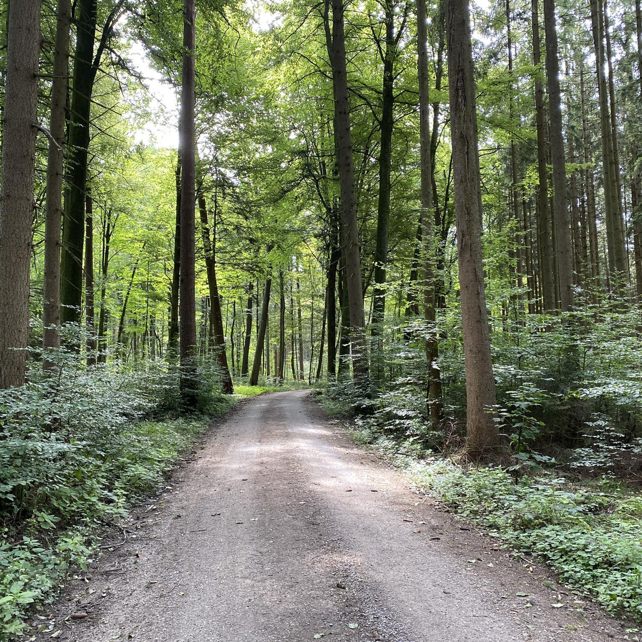
A beautiful, quiet connecting road from Zieglbach via Malzhausen past Hinter Heimat to Harthausen. It rolls through the region on good asphalt with little traffic.
1
0

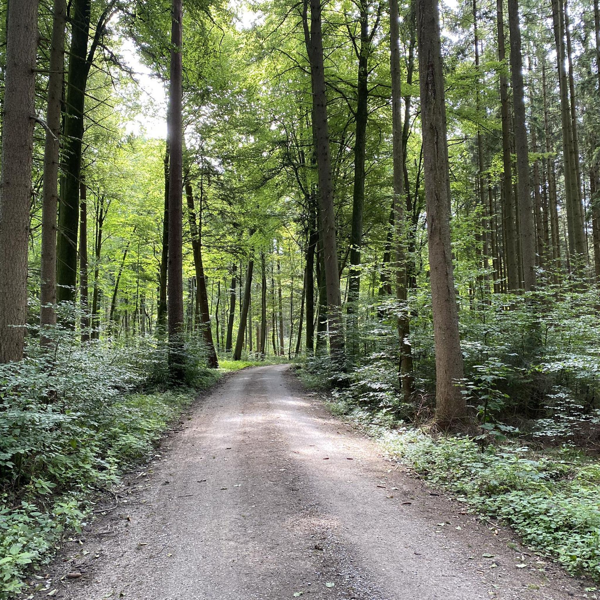
shady section through the forest in summer
0
0

The original Church of St. John the Baptist was probably the baptismal church of an original parish, as its name suggests. Parts of the tower base date back to the 13th century. Remains of an even earlier building are unknown. In 1747, the church was remodeled in the Baroque style. However, when the nave collapsed at the end of the 19th century, a large portion of the frescoes and stucco decorations were destroyed. From 1953 to 1955, the nave was completely rebuilt. The choir was spared from the nave's collapse.
0
0

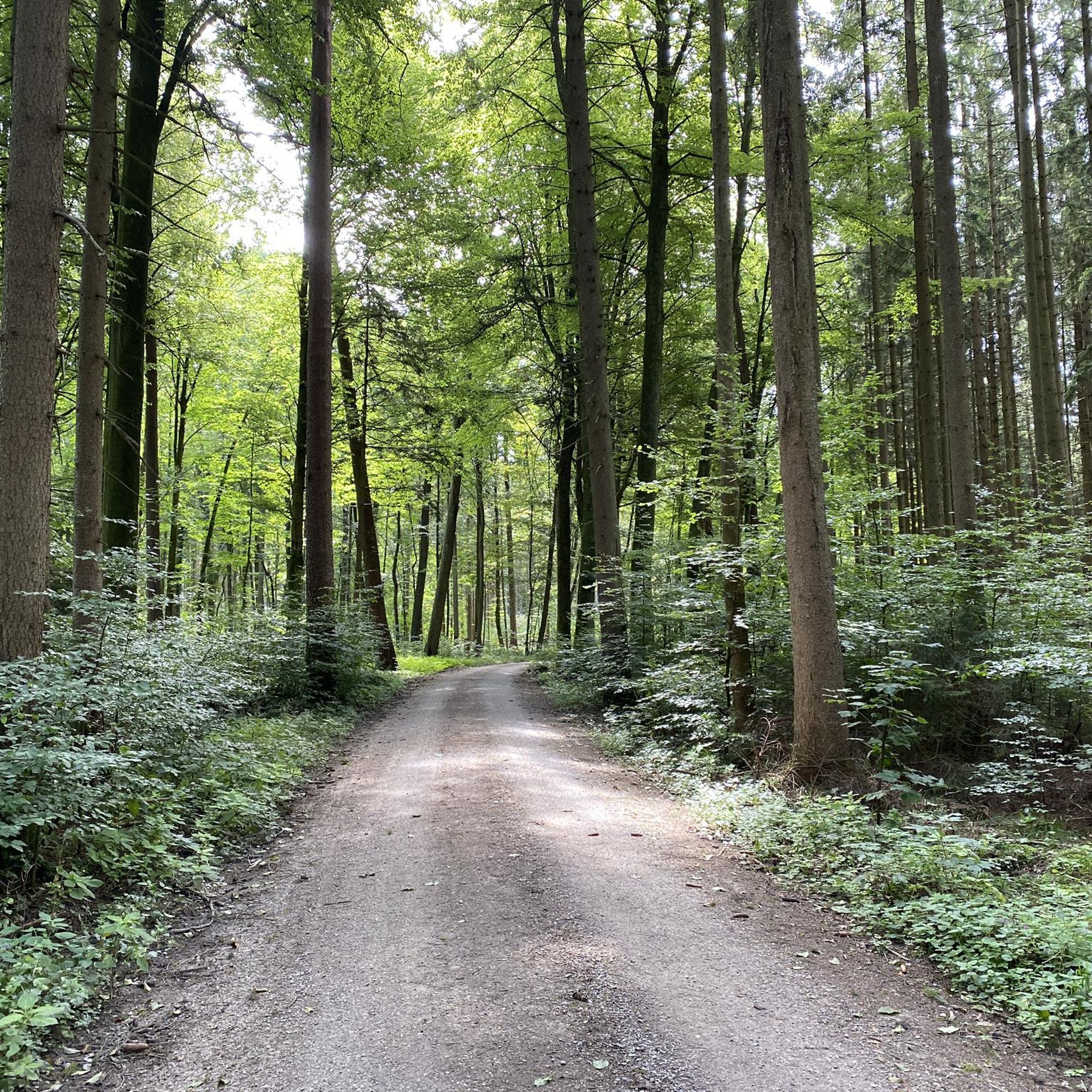
Quiet road between Taiting and Haberskirch. Undulating, good asphalt.
0
0

St. Thomas Chapel is located in the Friedberg district of Rederzhausen and belongs to the parish of St. Michael Ottmaring. It was built in 1698/99, presumably on the foundations of an older church. The first documented mention dates back to 1534. Architecturally, it is a simple hall building with a choir and onion dome. It was once a stop on the pilgrimage route to Inchenhofen. Today, it is an important site for the village community, a listed building, and regularly used for church services and festivals.
1
0
The St. Thomas Chapel is located in the Friedberg district of Rederzhausen, Bavaria, and belongs to the Roman Catholic parish of Ottmaring. It was first mentioned in a document on April 22, 1534, although it is assumed to be considerably older. The current building dates from 1698/99 and probably still contains remains of the walls of the previous buildings. The chapel is classified as an architectural monument and was possibly a stop on the pilgrimage route to St. Leonhard in Inchenhofen. The chapel is a flat-roofed hall building with a recessed choir that is flat on the outside and semi-circular on the inside under a groined vault. The tower on the north side has a square base and a slender octagon with an onion dome. The altars date from the end of the 17th century, the right side altar from 1683. The figure of St. Leonhard in the right side altar and that of St. The St. Thomas statue from 1708 in the main altar is attributed to the Mering-born sculptor Lorenz Luidl. These two figures originally come from St. Michael in Ottmaring. The other figures from around 1700 also have references to Luidl. The chapel is an important testimony to the religious and cultural history of the region and a popular destination for visitors interested in historical sacred buildings.
1
0

The chapel was first mentioned in documents on April 22, 1534; however, it is probably much older. The current building was erected around 1698/99. It is likely that the remains of the walls of the previous buildings still remain. There is evidence that the chapel was a stop on the pilgrimage route to St. Leonhard in Inchenhofen. During a restoration in 1977/78, red chalk inscriptions from visitors and pilgrims were found under the gallery.
1
0

Beautiful stretch of road with little traffic
0
0
Frequently Asked Questions
How many road cycling routes are available in Landmannsdorfer Forst?
Landmannsdorfer Forst offers a wide selection of road cycling routes, with over 340 tours available. This includes a diverse range of options for various skill levels.
What kind of terrain can I expect when road cycling in Landmannsdorfer Forst?
The region is characterized by varied terrain, featuring both flat sections ideal for speed and gentle ascents through forested areas. You'll primarily find smooth asphalt cycle paths, offering a pleasant experience for road bikes. The landscape provides a mix of natural and agricultural settings, with connections to surrounding villages.
Are there routes suitable for beginners or less experienced road cyclists?
Yes, Landmannsdorfer Forst is very welcoming to beginners. There are over 120 easy routes available, many of which are shorter loops on asphalt paths. For example, the Asphalt Cycle Path Hügelshart loop from Paar is an easy 8-mile route with modest elevation gain.
Are there challenging routes for experienced road cyclists?
While the region is known for its gentle ascents, there are a few routes that offer a more demanding experience. The Black Forest, which Landmannsdorfer Forst is associated with, is renowned for challenging mountain routes like the Kaiserstuhl, Belchen, and Schauinsland, providing significant elevation changes for those seeking a rigorous workout.
What do other road cyclists say about the routes in Landmannsdorfer Forst?
The road cycling routes in Landmannsdorfer Forst are highly rated by the komoot community, with an impressive average score of 4.6 stars from over 400 reviews. More than 6,500 road cyclists have explored the varied terrain, often praising the well-maintained asphalt paths and scenic views.
Are there circular road cycling routes in Landmannsdorfer Forst?
Yes, many of the road cycling routes in Landmannsdorfer Forst are designed as loops, allowing you to start and end at the same point. Examples include the Asphalt Cycle Path Hügelshart – Dasing Cycle Path loop from Paar and the Hörmannsberger Berg Viewpoint – Bachern–Rohrbach Cycle Path loop from Eurasburg (Schwaben).
What scenic viewpoints or landmarks can I discover along the road cycling routes?
Road cycling in Landmannsdorfer Forst offers opportunities to enjoy scenic views and discover local landmarks. Routes often pass by points of interest such as the Scenic Country Road: Landmannsdorf to Rinnenthal and the Heimat and Landmannsdorf Hills. The Hörmannsberger Berg Viewpoint – Bachern–Rohrbach Cycle Path loop from Eurasburg (Schwaben) specifically includes a viewpoint.
Are there any specific attractions worth visiting near the road cycling routes?
Beyond the cycling paths, you can explore various attractions. Highlights include the Malzenhaus Trail, the Forest road near Harthausen, and the Source of the Ecknach. These offer additional points of interest to complement your ride.
What is the best time of year to go road cycling in Landmannsdorfer Forst?
The Black Forest region, including Landmannsdorfer Forst, is generally best for road cycling from late spring through early autumn (May to October). During these months, the weather is typically milder, and the scenic views are at their most vibrant. Always check local weather conditions before heading out.
Are the road cycling routes in Landmannsdorfer Forst suitable for families?
Yes, many of the easy and moderate routes in Landmannsdorfer Forst are suitable for families. The prevalence of asphalt cycle paths and gentle terrain makes it accessible for cyclists of varying ages and abilities. Routes like the Asphalt Cycle Path Hügelshart loop from Paar are good options for a family outing.
How long do road cycling routes in Landmannsdorfer Forst typically take to complete?
Route durations vary significantly depending on distance and your cycling speed. Shorter, easy routes like the Asphalt Cycle Path Hügelshart loop from Paar can be completed in about 30-40 minutes. Longer moderate routes, such as the Höfarten–Allenberg Cycle Path – Cycle Path Towards Aichach loop from Eurasburg (Schwaben), might take around 2 hours or more.
Are there options for longer road cycling tours in the region?
Absolutely. For those looking for longer rides, Landmannsdorfer Forst offers moderate routes stretching over 30 miles. The Dasing Cycle Path – Affing Cycle Path loop from Paar, for instance, covers nearly 30 miles and features over 980 feet of elevation gain, providing a more extended cycling experience.
Most popular routes in Landmannsdorfer Forst
Most popular attractions in Landmannsdorfer Forst

Get inspired with the komoot mobile app


Explore more
Browse the best Road cycling routes in other regions.
