The best road cycling routes in Bernrieder Wald
4.5
(1296)
16,876
riders
414
rides
Road cycling routes in Bernrieder Wald traverse a diverse landscape, characterized by expansive forests, moors, and small lakes. The region features varied terrain, including mostly paved surfaces, with some routes presenting significant elevation changes. Cyclists can find paths with scenic views of the surrounding landscape and the Donauebene, often with distant views of the Alps.
Best road cycling routes in Bernrieder Wald
- The most popular road cycling route is Fast Road Next to the Autobahn – Quiet Path Along the…
Last updated: July 4, 2026
4.0
(1)
31
riders
Moderate road ride. Great for any fitness level. Some segments of this route may be unpaved and difficult to ride.
5.0
(1)
13
riders
29.0km
01:48
210m
210m
Moderate road ride. Great for any fitness level. Some segments of this route may be unpaved and difficult to ride.

Sign up for free
5.0
(3)
58
riders
30.4km
01:19
200m
200m
Easy road ride. Great for any fitness level. Mostly well-paved surfaces and easy to ride.
5.0
(1)
37
riders
Moderate road ride. Good fitness required. Mostly well-paved surfaces and easy to ride.
5.0
(1)
28
riders
18.4km
00:49
130m
130m
Moderate road ride. Great for any fitness level. Some segments of this route may be unpaved and difficult to ride.
Get access to more routes and recommendations from other explorers.
Sign up for free
Already have an account?
Our route recommendations are based on thousands of hikes, rides, and runs completed by other people on komoot.
Start today with a free account
Your next adventure awaits.
Login or Signup
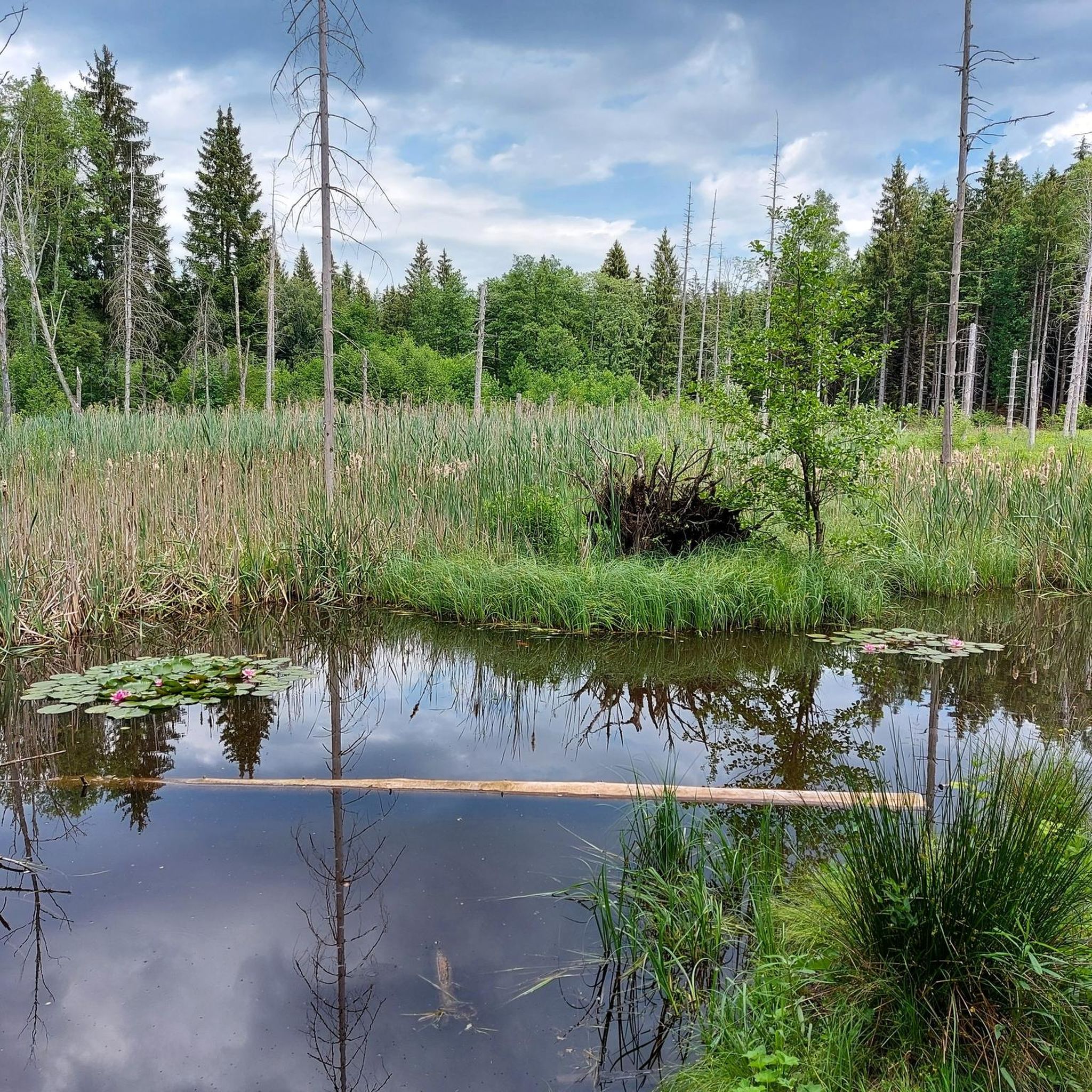
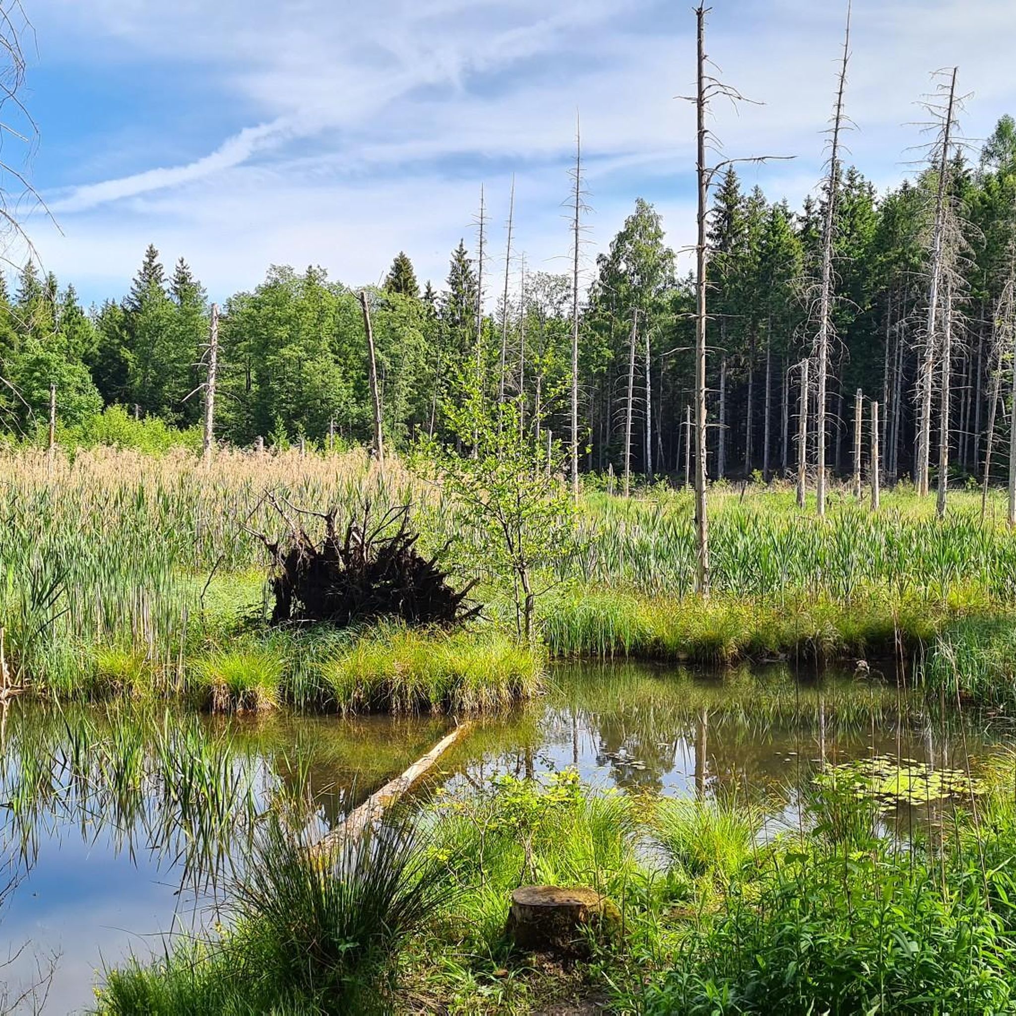
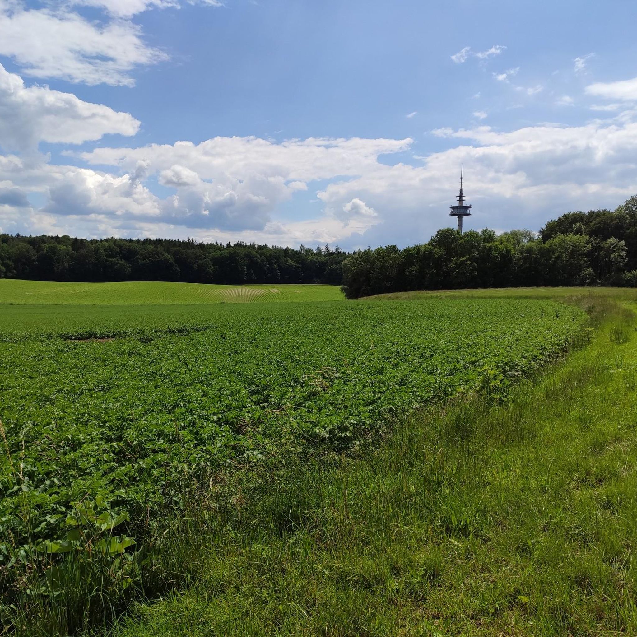
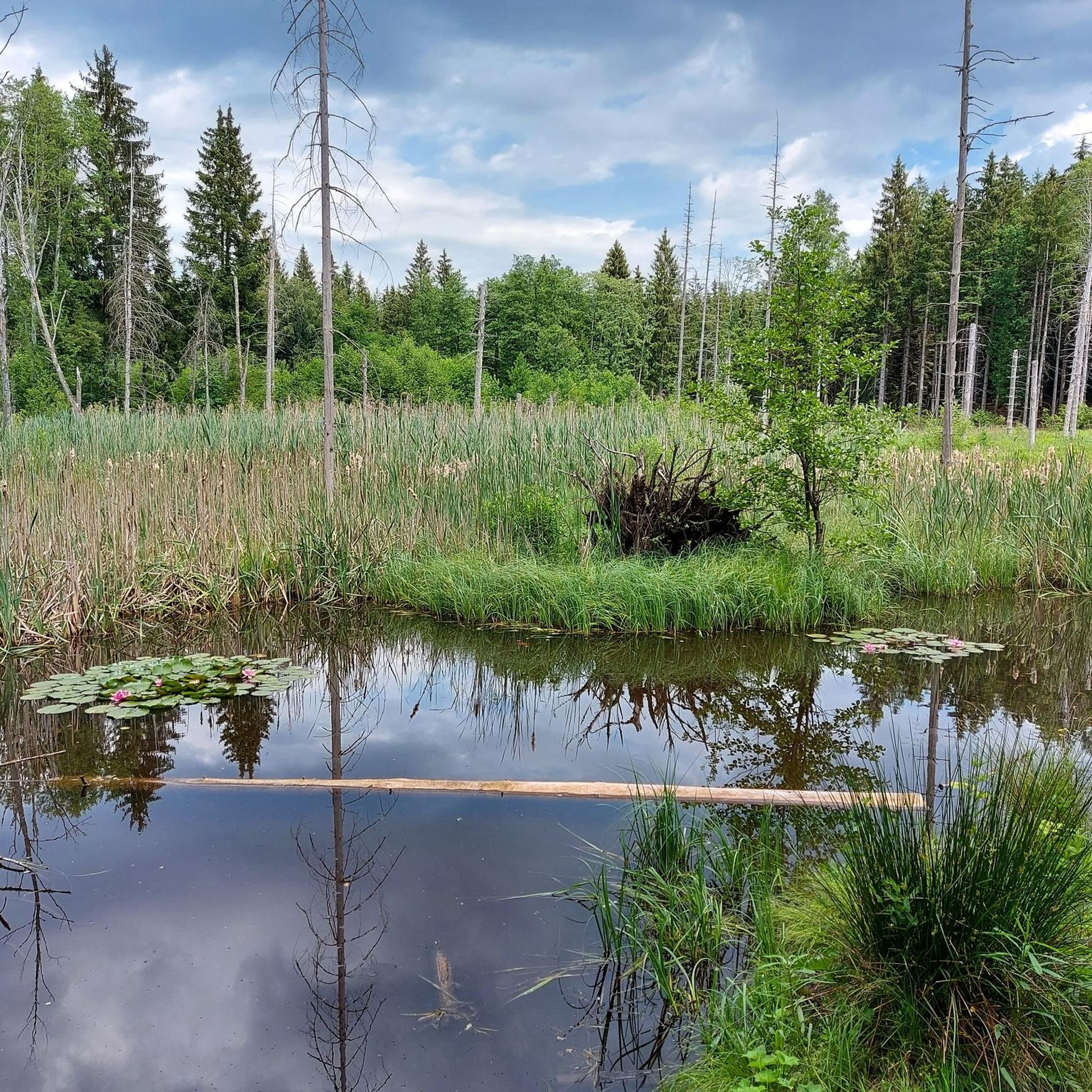
Tips from the Community

Despite the busy road nearby, cycling along the avenue is very beautiful.
0
0

The route is optimal for a nice leisurely recreational ride. Scenic, not too crowded on weekends. You can let it flow nicely. I will ride it more often.
0
0

Despite the gently sloping, gravelly beach, it's worth taking a short break to enjoy the view and head down to the water. Nearby, "Der Fischer" (The Fisherman) invites you to stop for a rest.
1
0

every little street is entered as a highlight 🙈
0
0
An idyllic little road between the two towns. It mostly runs through forest and some fields. The asphalt is of good quality and rolls along smoothly.
1
0
There are four road bike highlights on this road between Ramsach and Eresing. Why do people do this... Original: https://www.komoot.com/de-de/highlight/5722438
0
0

That's no good for my enduro 😂 Far too beautiful!
0
0

Nice here, you can go
0
0
Frequently Asked Questions
How many road cycling routes are available in Bernrieder Wald?
Bernrieder Wald offers a wide selection of road cycling routes, with over 380 options available. These routes cater to various skill levels, including 131 easy, 241 moderate, and 13 difficult trails.
What kind of terrain can I expect when road cycling in Bernrieder Wald?
The Bernrieder Wald region features a diverse "Mittelgebirgslandschaft" (low mountain range landscape). You'll encounter a mix of expansive forests, moors, and areas with charming small lakes. Routes are primarily on paved surfaces, but some include significant elevation changes, offering varied challenges and scenic views of the surrounding landscape and the Donauebene (Danube plain).
When is the best time of year to go road cycling in Bernrieder Wald?
The region is suitable for cycling for much of the year. While specific seasonal recommendations aren't provided, the diverse landscapes and well-maintained trails suggest that spring through autumn would offer pleasant conditions. August is noted as a popular month for cyclists in the Bernried area.
Are there any notable landmarks or viewpoints along the road cycling routes?
Yes, the region boasts several natural and cultural highlights. You can enjoy magnificent views from viewpoints like Hirschenstein, Rauher Kulm, and Regensburgerstein. Natural features include the Wildmoos Nature Reserve, known for its unique atmosphere. Culturally, Jexhof Farm Museum is a notable historical site.
Can I find routes with scenic views of lakes or the Alps?
Absolutely. Many routes offer picturesque views, particularly around Bernried am Starnberger See, where you can see lakes like Gallaweiher, Fohnsee, and the Großer Ostersee, as well as the larger Lake Starnberg. The route View of Wörthsee – View of Lake Wörthsee and the Alps loop from Neugilching specifically highlights views of Lake Wörthsee and the distant Alps.
Are there family-friendly road cycling options in Bernrieder Wald?
Yes, the Bernrieder Wald offers a range of routes, including many easy options suitable for families. For example, the Scenic Route Above Wörthsee – Wörthsee loop from Etterschlag is an easy 15.8-mile path with scenic views, making it a good choice for a family outing.
Are there any circular road cycling routes in the Bernrieder Wald region?
Many road cycling routes in Bernrieder Wald are designed as loops, allowing you to start and end at the same point. Popular examples include the Fast Road Next to the Autobahn – Quiet Path Along the Highway loop from Schluifelder Moos and the Unering–Hochstadt Fast Road – Wörthsee loop from Neugilching.
What do other road cyclists enjoy the most about road cycling in Bernrieder Wald?
The area is highly rated by the komoot community, with an average score of 4.5 stars from over 1100 reviews. Cyclists often praise the diverse terrain, ranging from quiet paths alongside highways to routes with views of lakes and the Alps, and the overall well-maintained network of trails.
Is parking available for cyclists in Bernrieder Wald?
While specific parking locations are not detailed, the popularity of the region for outdoor activities suggests that designated parking areas for visitors, including cyclists, are generally available near trailheads and popular starting points. It's advisable to check local signage upon arrival.
Are there places to stop for refreshments or accommodation near the cycling routes?
The Bernrieder Wald region, being a popular tourist destination, offers various options for refreshments and accommodation. You can find cafes, pubs, and hotels in the towns and villages surrounding the cycling routes, such as Bernried am Starnberger See, providing convenient stops during or after your ride.
What are some popular road cycling routes with significant elevation changes?
For those seeking more challenging rides, the region's "Mittelgebirgslandschaft" includes routes with significant elevation gains, some reaching up to 1000 meters above sea level. The View of Wörthsee – View of Lake Wörthsee and the Alps loop from Neugilching, for instance, features over 330 meters of elevation gain, offering a good workout and rewarding views.
Most popular routes in Bernrieder Wald
Most popular attractions in Bernrieder Wald

Get inspired with the komoot mobile app


Explore more
Browse the best Road cycling routes in other regions.
