The best MTB trails in Kreuzlinger Forst
4.4
(37)
214
riders
31
rides
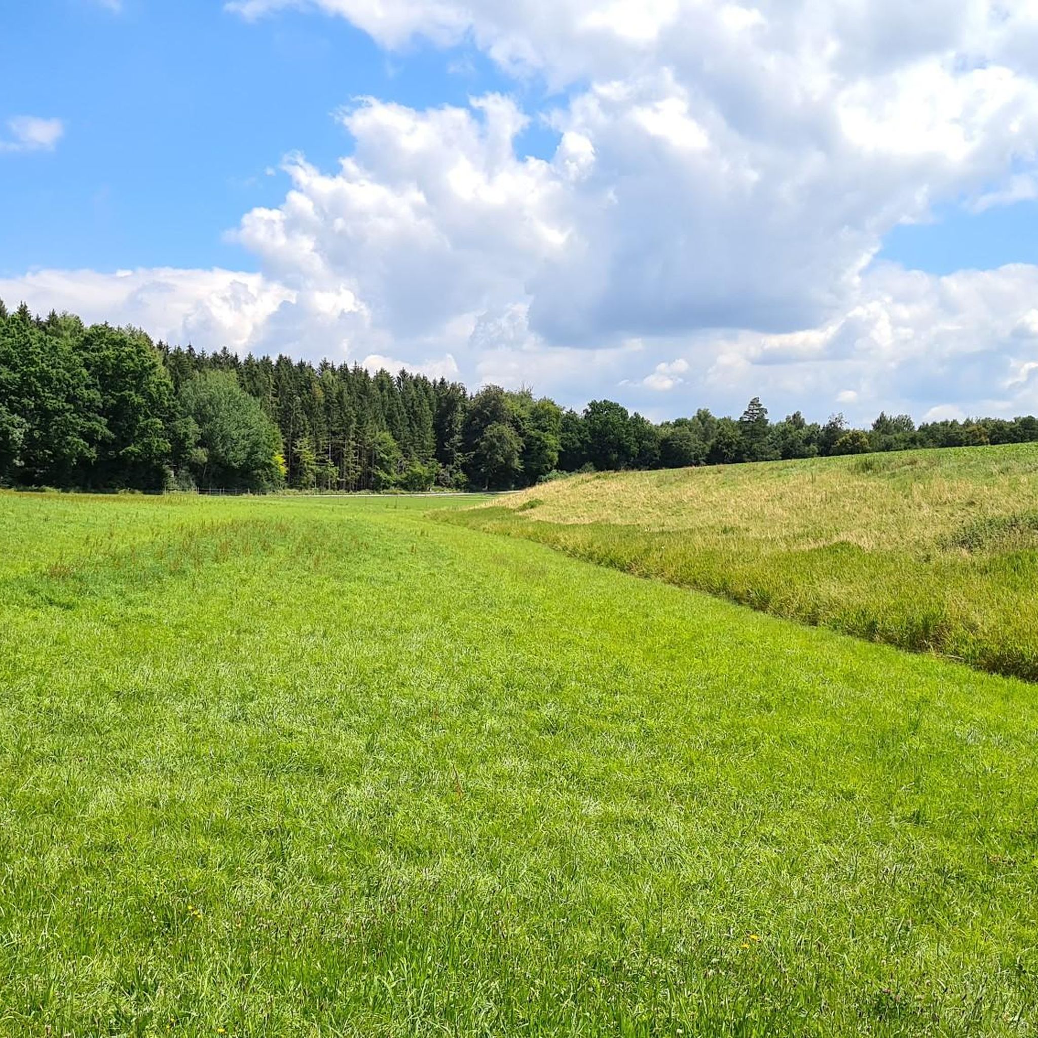
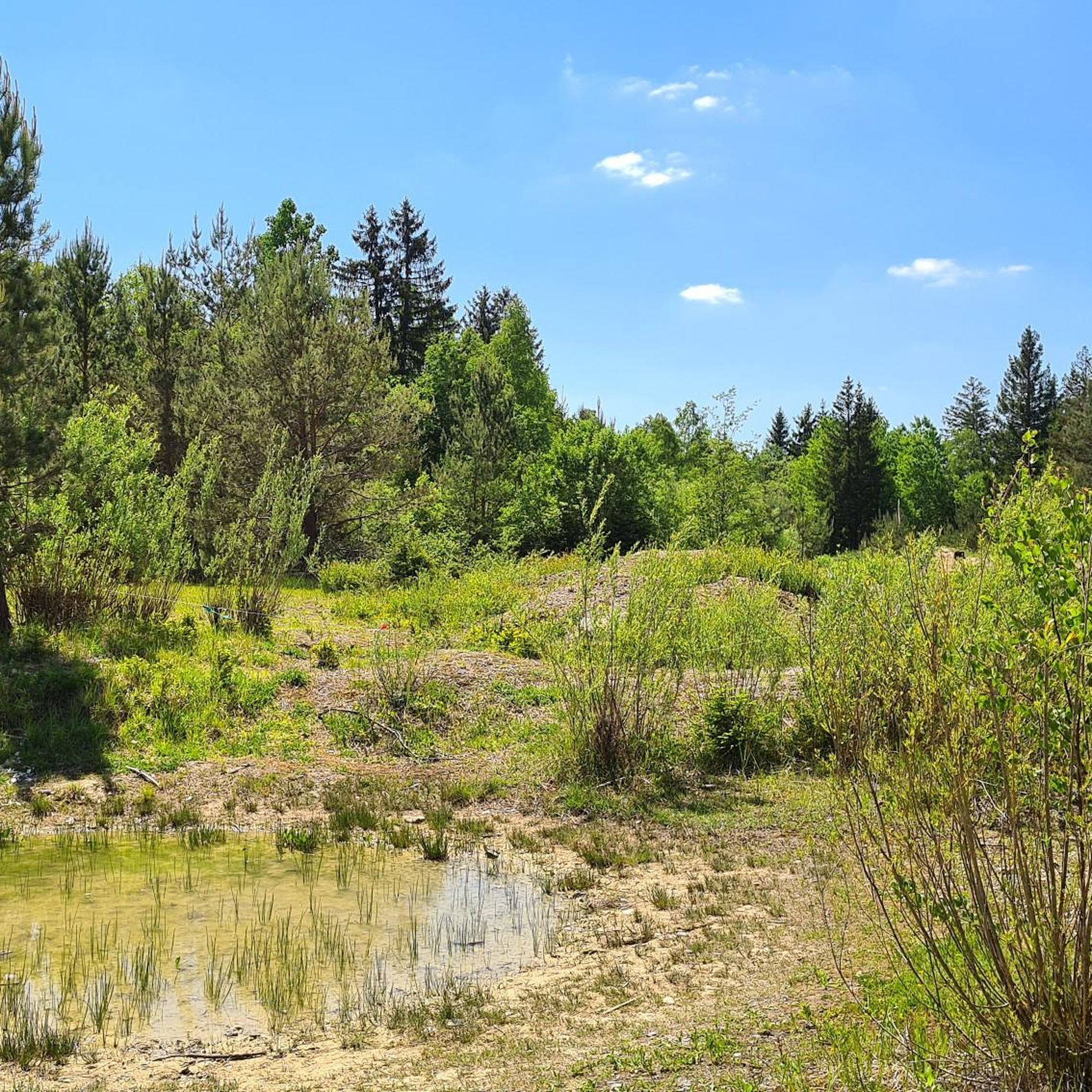
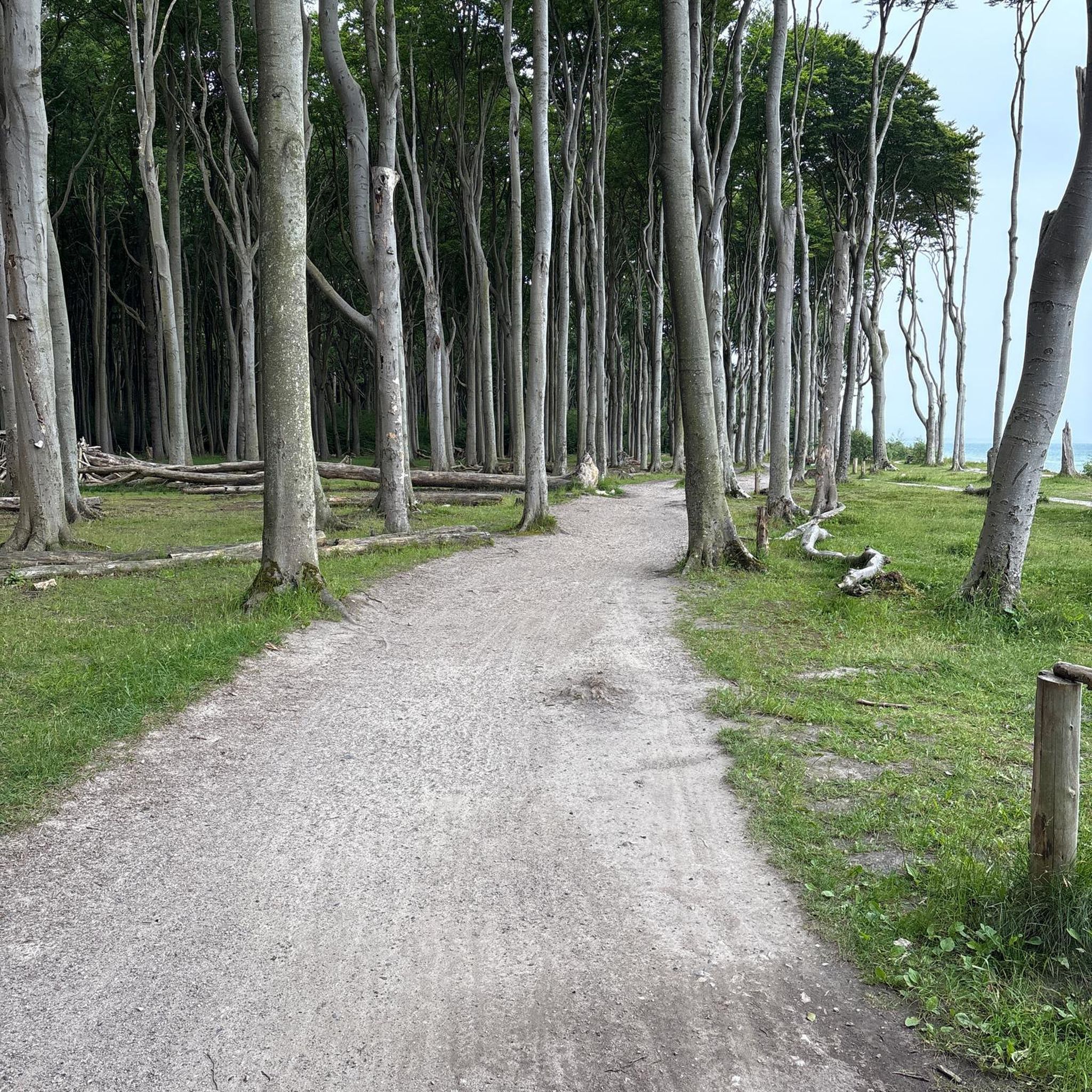
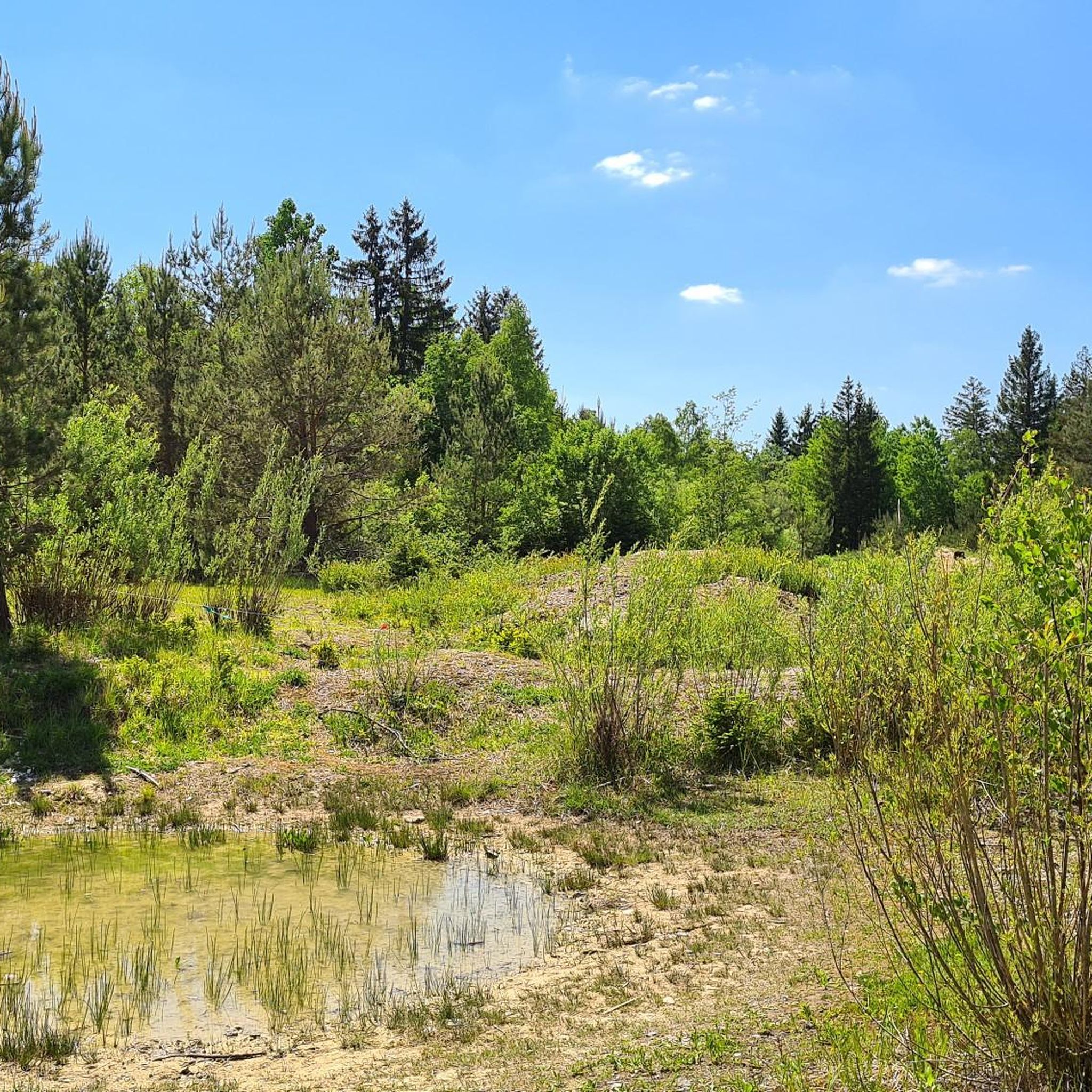
Mountain bike trails in Kreuzlinger Forst offer a diverse landscape for cycling, characterized by extensive spruce forests interspersed with beech and hornbeam trees. The region's unique terrain includes open, flat areas and gravel pits with steep slopes, remnants of its historical use, providing varied riding experiences. This forest belt, located southwest of Munich, features a network of paths suitable for different skill levels. The varied topography ensures a dynamic environment for mountain bikers exploring the area.
Best mountain bike trails…
Last updated: July 6, 2026
4.4
(7)
45
riders
27.8km
02:07
240m
240m
Moderate mountain bike ride. Good fitness required. Suitable for all skill levels.
5.0
(3)
20
riders
27.4km
01:52
190m
190m
Moderate mountain bike ride. Great for any fitness level. Advanced riding skills necessary.

Sign up for free
5.0
(4)
18
riders
48.5km
03:03
300m
300m
Moderate mountain bike ride. Good fitness required. Suitable for all skill levels.
4.5
(2)
11
riders
30.4km
02:20
280m
280m
Moderate mountain bike ride. Good fitness required. Advanced riding skills necessary.
5.0
(1)
10
riders
40.7km
02:47
340m
340m
Moderate mountain bike ride. Good fitness required. Suitable for all skill levels.
Get access to more routes and recommendations from other explorers.
Sign up for free
Already have an account?
Our route recommendations are based on thousands of hikes, rides, and runs completed by other people on komoot.
Start today with a free account
Your next adventure awaits.
Login or Signup
Tips from the Community

Great view of the Würm which flows through the valley here
1
0
Beautiful avenue with little traffic
0
0

With a delicious pretzel or muesli stick from the Valent bakery (or a Viennese croissant, a chocolate croissant, raisin roll…) you can take a nice break on this bench and then visit the church and enjoy the view from the wall towards the mountains.
0
0

Flow trail - also possible with a gravel bike
0
0

Beautiful path along the Wüm river
0
0

You should be able to use your sports equipment
0
0
Frequently Asked Questions
How many mountain bike trails are available in Kreuzlinger Forst?
Kreuzlinger Forst offers a network of over 30 mountain bike trails. These routes cater to various skill levels, ranging from easy to difficult, ensuring a suitable option for every rider.
Are there mountain bike trails suitable for beginners in Kreuzlinger Forst?
Yes, Kreuzlinger Forst has 13 easy mountain bike trails, perfect for beginners or those looking for a relaxed ride. An example is the Little Böhmer Pond – Trail on the Erlbach loop from Planegg, which is 17.3 miles (27.8 km) long and leads through varied forest landscapes.
What kind of terrain can I expect on mountain bike trails in Kreuzlinger Forst?
The terrain in Kreuzlinger Forst is quite diverse. You'll find extensive spruce forests, interspersed with beech and hornbeam trees. Unique features include open, flat areas and former gravel pits with steep slopes, remnants of its historical use, which add varied challenges to the rides.
Are there any circular mountain bike routes in Kreuzlinger Forst?
Many of the mountain bike routes in Kreuzlinger Forst are designed as loops. For instance, the moderate Maisinger Gorge – Würmtal Cycle Path loop from Planegg covers 30.1 miles (48.5 km), exploring scenic areas and following the Würmtal Cycle Path.
What are some notable natural features or landmarks to see along the trails?
While riding, you can experience the diverse forest types, including spruce, beech, and hornbeam. The area's history as a military training ground has also left unique open, flat areas and gravel pits. For specific points of interest, consider visiting the Nature Reserve South of Germering or the historic Maria Eich Monastery and Pilgrimage Church, which are accessible from nearby trails.
What do other mountain bikers say about the trails in Kreuzlinger Forst?
The mountain bike trails in Kreuzlinger Forst are highly regarded by the komoot community, with an average rating of 3.95 stars from over 10 reviews. Riders often praise the varied terrain and the well-maintained network of paths that offer engaging experiences for different skill levels.
Are there any moderate mountain bike trails that offer scenic views?
Yes, a popular moderate route is the Isar Riverside Cycle Path – View of the Georgenstein loop from Planegg. This 25.3 miles (40.7 km) trail offers views of the Georgenstein rock formation and follows the scenic Isar River.
What is the best time of year for mountain biking in Kreuzlinger Forst?
Kreuzlinger Forst is generally suitable for mountain biking throughout the warmer months, from spring to autumn. The varied forest cover provides shade in summer, and the diverse terrain offers interesting rides in spring and autumn when the foliage changes.
Are there options for longer mountain bike tours in the area?
Yes, for longer rides, you can combine trails or choose routes like the Würmtal Cycle Path – View of the Würm River loop from Planegg. This moderate tour spans 49.1 miles (49.1 km) and offers an extended exploration of the region.
Where can I find refreshments or a place to relax near the trails?
After your ride, you might consider visiting the Waldheim Gräfelfing Beer Garden, which is a highlight in the vicinity and offers a place to relax and refuel.
How long do mountain bike tours typically take in Kreuzlinger Forst?
Tour durations vary depending on the route and your pace. For example, an easy trail like the View of the Würm River – Würm River loop from Planegg, which is 15.5 miles (15.5 km), can be completed in about 1 hour 5 minutes. Longer, moderate routes can take 3 hours or more.
Most popular routes in Kreuzlinger Forst
Most popular attractions in Kreuzlinger Forst

Get inspired with the komoot mobile app


Explore more
Browse the best MTB trails in other regions.
