The best mountain hikes in Brandwald
4.7
(132)
1,197
hikers
46
hikes
Mountaineering routes in Brandwald are situated within the Tiroler Oberland, characterized by significant elevation changes and alpine terrain. The region features a network of trails that ascend through varied landscapes, from forested valleys to high-altitude passes. These routes often lead to mountain huts and offer expansive views of the surrounding peaks. The area provides opportunities for challenging climbs and traverses across rugged mountain environments.
Best mountaineering routes in Brandwald
- The most popular mountaineering route is Augsburger Hut – Patrolscharte loop…
Last updated: June 24, 2026
5.0
(8)
42
hikers
11.4km
07:47
1,510m
1,510m
Hard mountaineering route. Very good fitness required. Sure-footedness, sturdy shoes and alpine experience required.
5.0
(3)
48
hikers
12.3km
06:14
1,000m
1,000m
Hard mountaineering route. Very good fitness required. Sure-footedness, sturdy shoes and alpine experience required.

Sign up for free
5.0
(7)
31
hikers
7.57km
04:26
850m
850m
Moderate mountaineering route. Good fitness required. Mostly accessible paths. Sure-footedness required.
4.3
(3)
17
hikers
3.97km
03:23
640m
650m
Hard mountaineering route. Good fitness required. Sure-footedness, sturdy shoes and alpine experience required.
13
hikers
9.94km
04:16
850m
850m
Moderate mountaineering route. Good fitness required. Mostly accessible paths. Sure-footedness required.
Get access to more routes and recommendations from other explorers.
Sign up for free
Already have an account?
Our route recommendations are based on thousands of hikes, rides, and runs completed by other people on komoot.
Start today with a free account
Your next adventure awaits.
Login or Signup


Tips from the Community

Great hut with really friendly staff! Highly recommended, even for day trips!
1
0


This is the parking lot from which you can go to the Steinseehütte. Driving from the valley to the parking lot is quite an experience, as the terrain is often steep and rough. Getting up here with a low-slung sports car will probably be difficult. :-) We've encountered hikers who, for example, didn't drive all the way up here with their camper vans.
2
0

An impressive panorama awaits you at the Augsburger Hütte. There are simple meals, including a few vegetarian options. There are 21 beds in dormitories and 38 beds in mattress dormitories available for overnight stays. In the cold season, when the hut is closed, you can find shelter in the winter room (14 beds). All information is available at https://augsburgerhuette.jimdoweb.com/.
2
1

It is an absolute tip to visit the huts there are always nice conversations
0
0

The Zams ski hut is one of the five known overnight accommodation options on the E5. With 70 beds in 9 shared rooms and a camp, it is the smallest overnight accommodation option on the E5. Advance booking is therefore highly recommended. There is WiFi, a laundry service and warm showers, but not quite the traditional hut feeling. In the evening there is a buffet, mostly cheese spaetzle and salad. If you can no longer find accommodation at the Zams ski hut, you should try the Zamer Alm, just 500m away. There is also camp and dinner / breakfast. From Zams, the ascent on foot to the Zams ski hut is about 3 hours. Attention: If you want to make the ascent easier by taking the mountain railway. The Venet mountain railways will remain closed in summer 2024. As a replacement, hiking buses to the Zammer Alm and Zams ski hut will be offered from June 2nd, 2024. Current information at www.venet.at Hiking bus to Zammer Alm/Zams ski hut Departure: Venet cable car valley station 8:15 a.m. / 10:00 a.m. / 2:00 p.m. / 4:00 p.m. / 5:00 p.m. (Cost: €15) If you stay overnight in the Zams ski hut and haven't made it to the valley station by 5:00 p.m., you can call the hut on T +43 (0) 5442 / 61 300 and ask about the shuttle service to the hut for €20 per person for two or more people.
0
0
If the Zams ski hut is fully booked, you can also stay overnight and dine at the Zamer Alm, which is less than 500m away.
0
0
Frequently Asked Questions
How many mountaineering routes are available in Brandwald?
Brandwald offers a diverse network of over 45 mountaineering routes, catering to various skill levels from easy to difficult. The region is particularly known for its challenging alpine terrain.
Are there any easy or beginner-friendly mountaineering routes in Brandwald?
While Brandwald is known for its challenging terrain, there is at least one easy mountaineering route available. Additionally, there are 8 moderate routes that could be suitable for beginners looking for a slightly more demanding experience. Always check the route details for elevation gain and distance before setting out.
What is the best season for mountaineering in Brandwald?
The prime season for mountaineering in Brandwald is typically from late spring through early autumn (June to September), when trails are generally free of snow and weather conditions are more stable. However, conditions can change rapidly in the mountains, so always check local forecasts.
What are the conditions like for winter mountaineering in Brandwald?
Winter mountaineering in Brandwald presents significant challenges due to snow, ice, and potential avalanche risks. Many routes become impassable or require specialized equipment and expertise. It's crucial to consult local alpine guides and current avalanche warnings before attempting any winter ascents.
What should I wear for mountaineering in Brandwald during summer?
For summer mountaineering in Brandwald, it's essential to dress in layers. Recommended gear includes moisture-wicking base layers, insulating mid-layers, and a waterproof/windproof outer shell. Sturdy hiking boots with good ankle support, sun protection (hat, sunglasses, sunscreen), and plenty of water are also crucial.
Are there any circular mountaineering routes in Brandwald?
Yes, Brandwald features several circular mountaineering routes. For example, the Augsburger Hut loop from Grins is a moderate 4.7-mile (7.6 km) trail that takes you through alpine meadows and rocky sections, offering a rewarding round trip.
Where can I find parking for mountaineering trails in Brandwald?
Parking availability varies by trailhead. For routes like the Steinsee Hut – Steinsee loop, designated parking areas such as Parkplatz Alfuz - Steinseehütte are available. It's advisable to check specific route descriptions on komoot for detailed parking information before your trip.
Are there any cafes or mountain huts along the mountaineering routes in Brandwald?
Yes, many mountaineering routes in Brandwald lead to or pass by mountain huts, which often offer refreshments and accommodation. The Augsburger Hut – Patrolscharte loop from Grins and the Augsburger Hut – Gatschkopf loop both incorporate the Augsburger Hut, providing a welcome stop. The Steinsee Hut – Steinsee loop also features the Steinsee Hut.
What interesting landmarks or attractions can I see along the mountaineering routes in Brandwald?
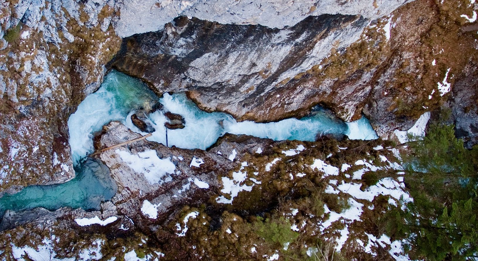
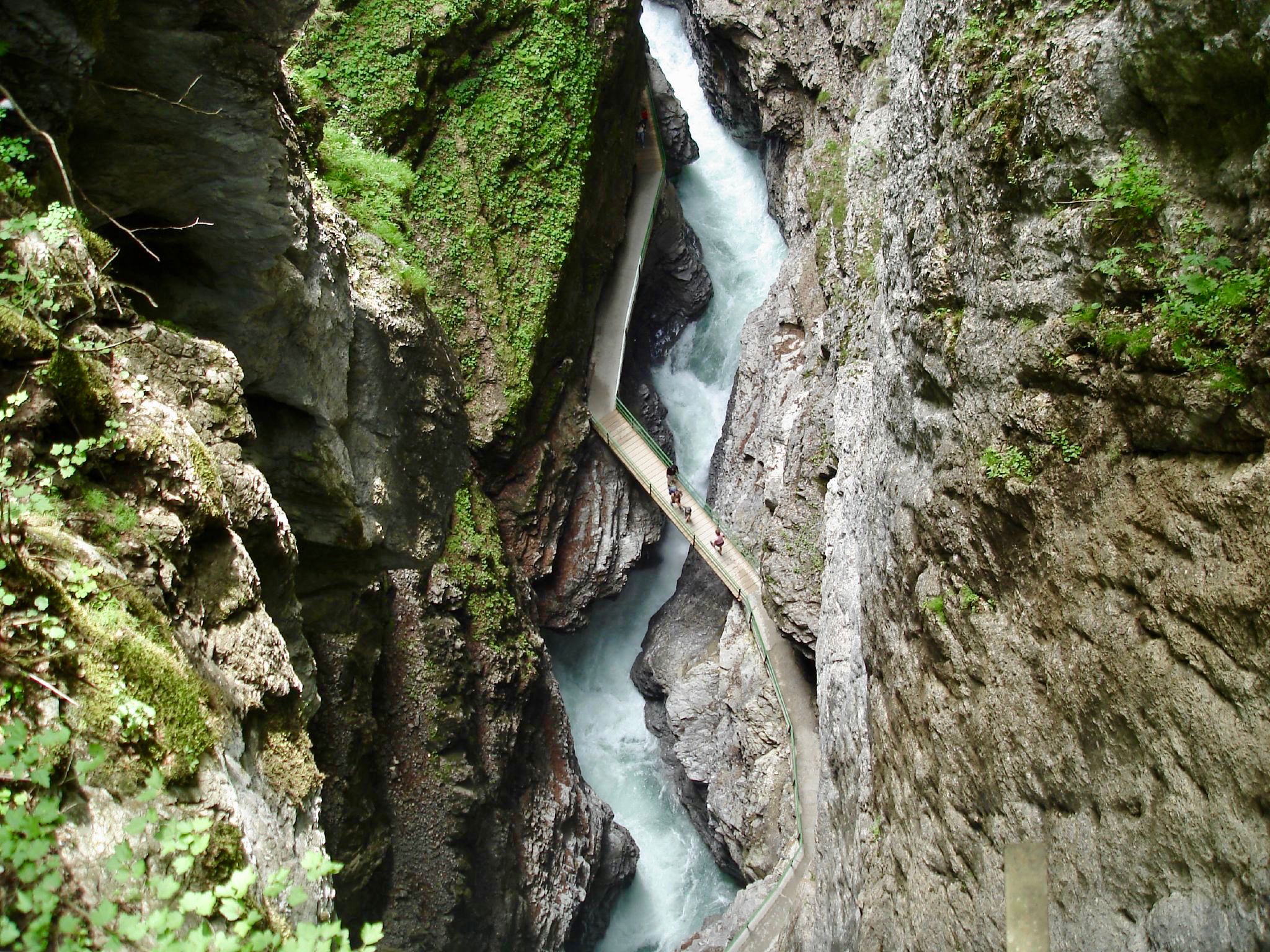
Several routes offer access to notable landmarks. For instance, the View of Zammer Loch – Unterlochalm loop from Zams provides views of the Zammer Loch. You can also explore highlights like the Zammer Loch High Trail, the Unterlochalm, or the impressive Zammer Lochputz Gorge and Waterfall, which are often accessible from or near mountaineering paths.
What do other mountaineers enjoy most about Brandwald?
The mountaineering routes in Brandwald are highly rated by the komoot community, with an average score of 4.7 stars from over 140 reviews. Users frequently praise the challenging ascents, the expansive views of the surrounding peaks, and the rugged alpine terrain that defines the region.
Are there any hidden gem mountaineering trails in Brandwald that are less crowded?
While specific 'hidden gems' are often discovered through local knowledge, exploring some of the less-trafficked difficult routes, such as the View of Zammer Loch – Unterlochalm loop from Zams, might offer a more secluded experience compared to the most popular trails. Always check recent tour reports for current conditions and popularity.
Are permits required for mountaineering in Brandwald?
Generally, permits are not required for day mountaineering trips on established trails in Brandwald. However, if you plan to stay overnight in mountain huts, it is highly recommended to book your spot in advance, especially during peak season.
Most popular routes in Brandwald
Most popular attractions in Brandwald

Get inspired with the komoot mobile app


Explore more
Browse the best Mountain Hikes & Routes in other regions.
