The best walks and hikes around Gorduno
4.4
(1990)
13,626
hikers
374
hikes
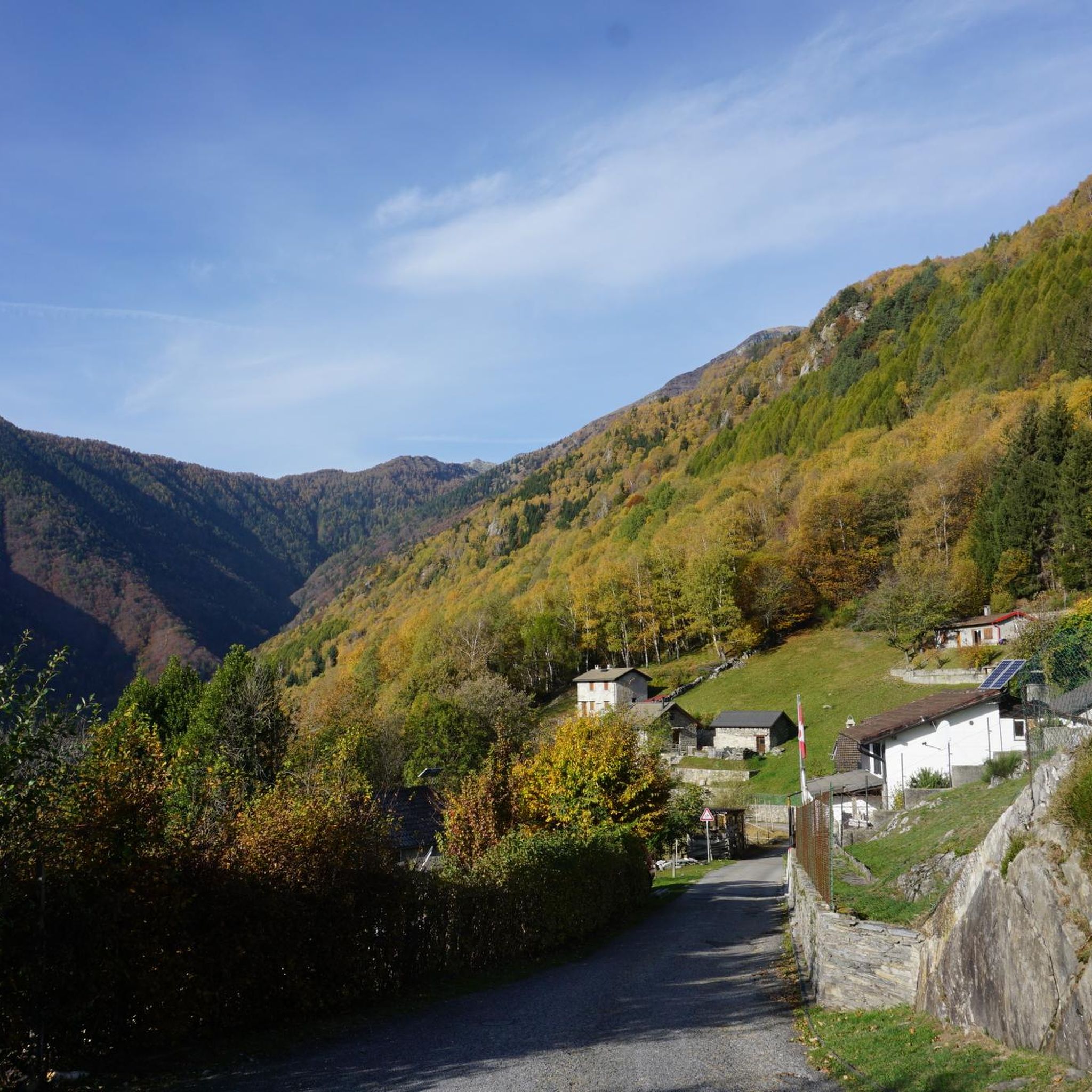
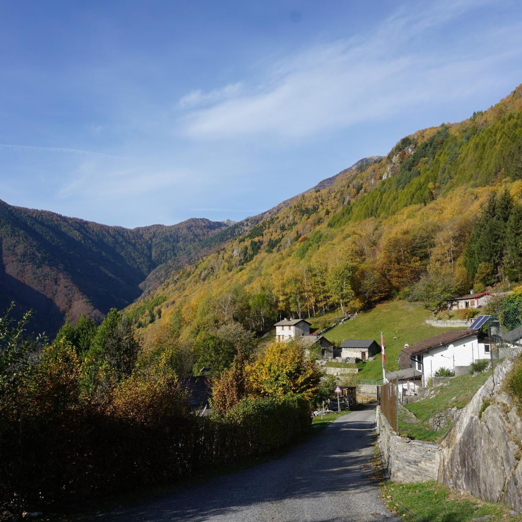
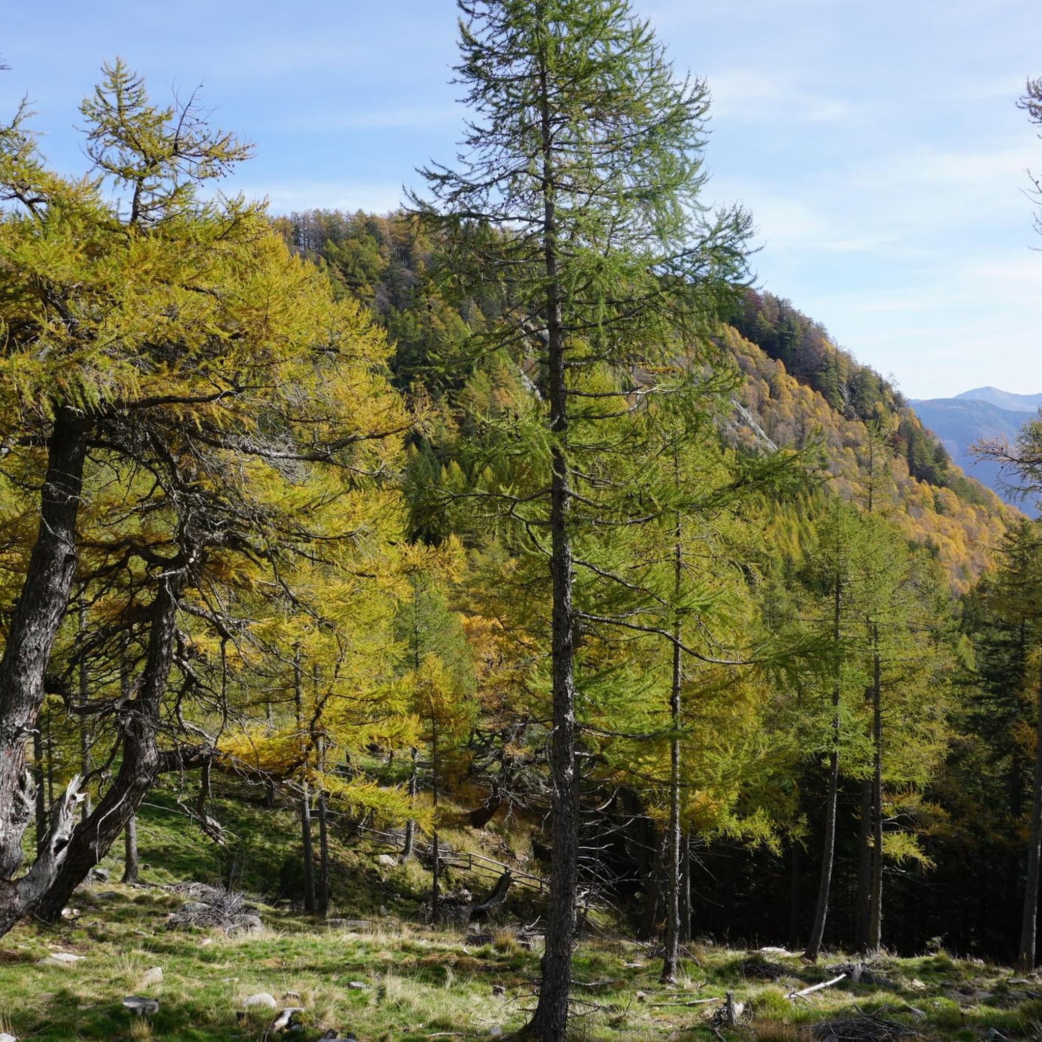
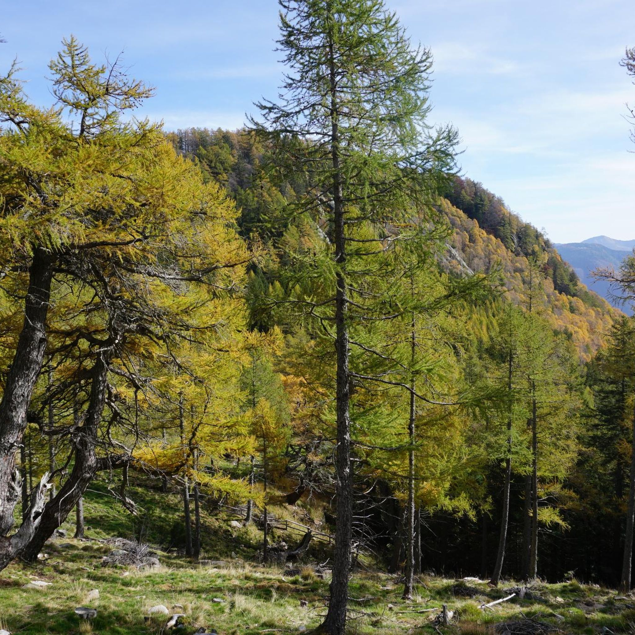
Hiking around Gorduno offers diverse terrain in the Ticino region of Switzerland, characterized by its transition from the Riale di Gorduno river cone to significant mountainous areas. The landscape features alpine peaks, extensive forests, and high-altitude pastures. Hikers can explore trails ranging from lower elevations near Bellinzona to challenging ascents towards prominent summits.
Best hiking trails around Gorduno
- The most popular hiking route is Alpe Arami and Capanna Albagno Loop, a 8.1 miles (13.0 km) trail that takes 5…
Last updated: September 26, 2026
3.7
(6)
22
hikers
6.18km
01:35
20m
20m
Moderate hike. Great for any fitness level. Mostly accessible paths. Sure-footedness required.
5.0
(1)
25
hikers
13.0km
05:03
800m
800m
This difficult 8.1-mile hike from Ladrescio to the Albagno hut offers challenging terrain, 2640 feet of elevation gain, and rewarding views.

4.5
(2)
4
hikers
9.61km
02:40
170m
170m
Moderate hike. Good fitness required. Easily-accessible paths. Suitable for all skill levels.
3.7
(3)
9
hikers
11.8km
03:58
580m
580m
Moderate hike. Good fitness required. Easily-accessible paths. Suitable for all skill levels.
2
hikers
8.82km
02:52
400m
400m
Moderate hike. Good fitness required. Easily-accessible paths. Suitable for all skill levels.
Get access to more routes and recommendations from other explorers.
Already have an account?
Our route recommendations are based on thousands of hikes, rides, and runs completed by other people on komoot.
Start today with a free account
Your next adventure awaits.
Tips from the Community

very nicely hosted hut and great view over the valley deep below us
0
0

a small hut with the possibility to eat and stay overnight....
0
0
There's easy access to the river near the bridge. The sandbar is a great place for dogs to run around, drink, and swim.
0
0


you can also get here by cable car and then walk, from there in about 1.5 hours to Baita Arami and from there after the refreshment on foot in about 2 hours back to the valley to Gorduno, or maybe with the shuttle bus or other guests down to the valley
1
0
Take the toll road from Gorduno up to the parking lot of Baita Arami, from there the tour up to Gaggio with a final stop at Arami is a nice day trip
1
0

Not far from the bridge there is a small beach washed by the waters of the Ticino. Perfect for a regenerating break.
1
0
Right near the Gnosca sports field, stands this beautiful stone church.
1
0
Frequently Asked Questions
What types of hiking trails can I find in Gorduno?
Gorduno offers a diverse range of hiking trails, from easy walks to challenging mountain ascents. The landscape transitions from the Riale di Gorduno river cone to significant mountainous areas, featuring alpine peaks, extensive forests, and high-altitude pastures. You'll find options suitable for various ability levels, including 8 easy routes, 2 moderate routes, and 2 difficult routes.
Are there any circular hiking routes in Gorduno?
Yes, Gorduno features several excellent circular routes. For a challenging experience, consider the Alpe Arami and Capanna Albagno Loop, which is 13.0 km long. Another difficult option is the Capanna Albagno – Cima del Gaggio loop from Alpe Arami (10.6 km). For an easier circular walk, try the Baita Arami – Alpe Arami loop from Bedréd (3.9 km) or the Gnosca Chapel loop from Distretto di Bellinzona (5.6 km).
What are some notable natural features or viewpoints to see while hiking in Gorduno?
Gorduno is rich in natural beauty and offers stunning viewpoints. The Sassariente Summit provides unparalleled panoramic views, allowing you to see both the highest and lowest points in Switzerland. The Cima di Medeglia Summit Cross also offers excellent 360-degree views of the Southern Alps, Lake Maggiore, Lake Lugano, Bellinzona, and Locarno. Don't miss the Motto della Croce viewpoint for more scenic vistas.
Are there any historical or cultural attractions along the hiking trails?
Yes, Gorduno blends nature with history. You can encounter historical elements like the charming Church of Saints Carpoforo and Maurizio, dating back to the 7th-8th century. The Sasso Corbaro Castle, rebuilt in 1402, is another significant historical site that can be integrated into your hiking experience, offering a glimpse into the region's past.
What do other hikers say about the trails in Gorduno?
The hiking routes in Gorduno are highly rated by the komoot community, with an average score of 4.5 stars from over 1300 reviews. More than 10,000 hikers have used komoot to explore Gorduno's varied terrain, often praising the diverse landscapes, well-maintained paths, and the rewarding views from the summits and mountain huts.
Are there mountain huts available for resting or overnight stays?
Yes, the region features several mountain huts, known as Capannas, which serve as crucial points for hikers. The Capanna Brogoldone, a renovated former mountain pasture, and the Capanna Albagno offer resting places, and often food, with spectacular views over the valleys. These huts can support multi-day hiking possibilities.
What is the terrain like for hiking in Gorduno?
The terrain in Gorduno is predominantly mountainous, characterized by a mix of alpine pastures and rich forests. Trails can range from easily accessible paths at lower elevations to more demanding routes requiring sure-footedness and alpine experience at higher altitudes. The region is known for its natural contrasts, from alpine peaks to Mediterranean-like environments.
Can I access the higher mountain areas by car?
A 15 km forest road connects Gorduno village (300 m asl) up to Arami (1,400 m asl). This road is generally open to the public during summer months (April-October) and typically requires a daily pass for vehicle access, offering another way to explore the higher elevations.
What are some unique geological features in the Gorduno area?
The Valle di Gorduno, particularly around Alpe Arami, is known for its geological significance. You can find rocks rich in pyrophores, a red garnet or ruby variety. These crystals indicate a deep Earth origin, adding a unique natural element to the region's landscape.
How many hiking routes are available in Gorduno?
There are 12 distinct hiking routes available in Gorduno, catering to various skill levels. This includes 8 easy routes, 2 moderate routes, and 2 difficult routes, ensuring there's a trail for almost every hiker.
Are there any long-distance or multi-day hiking options?
While specific multi-day routes are not detailed, the presence of mountain huts like Capanna Brogoldone and Capanna Albagno makes multi-day hiking possibilities feasible. These huts provide accommodation and resting points, allowing hikers to extend their adventures across the extensive network of trails in the Ticino region.
What is a good moderate hike to try in Gorduno?
For a moderate hike that winds through forests and alpine pastures, we recommend the From Ladrescio to Alpe Croveggio route. It's 8.8 km long and typically takes around 2 hours 52 minutes to complete, requiring good fitness and sure-footedness.
Most popular routes around Gorduno
Most popular attractions around Gorduno

Get inspired with the komoot mobile app


Explore more
Browse the best Hikes in other regions.
