The best walks and hikes in Tettnanger Wald
4.5
(8055)
41,109
hikers
62
hikes
Hiking in Tettnanger Wald provides a network of trails through a predominantly forested landscape in the Bodenseekreis region. The area is characterized by dense woodlands, small ponds, and gentle elevation changes, offering varied terrain for outdoor activities. These hiking trails in Tettnanger Wald are suitable for different experience levels, from easy walks to more moderate routes.
Best hiking trails in Tettnanger Wald
- The most popular hiking route is Hubi's Herb Garden Shop – Birkenweiher Nature Reserve loop from Birkenweiher,…
Last updated: May 20, 2026
4.7
(23)
95
hikers
7.18km
02:01
140m
140m
Moderate hike. Good fitness required. Easily-accessible paths. Suitable for all skill levels.
4.4
(16)
100
hikers
Easy hike. Great for any fitness level. Easily-accessible paths. Suitable for all skill levels.

Sign up for free
4.5
(10)
40
hikers
Moderate hike. Good fitness required. Easily-accessible paths. Suitable for all skill levels.
5.0
(3)
19
hikers
Easy hike. Great for any fitness level. Easily-accessible paths. Suitable for all skill levels.
5.0
(6)
20
hikers
Easy hike. Great for any fitness level. Easily-accessible paths. Suitable for all skill levels.
Get access to more routes and recommendations from other explorers.
Sign up for free
Already have an account?
Our route recommendations are based on thousands of hikes, rides, and runs completed by other people on komoot.
Start today with a free account
Your next adventure awaits.
Login or Signup
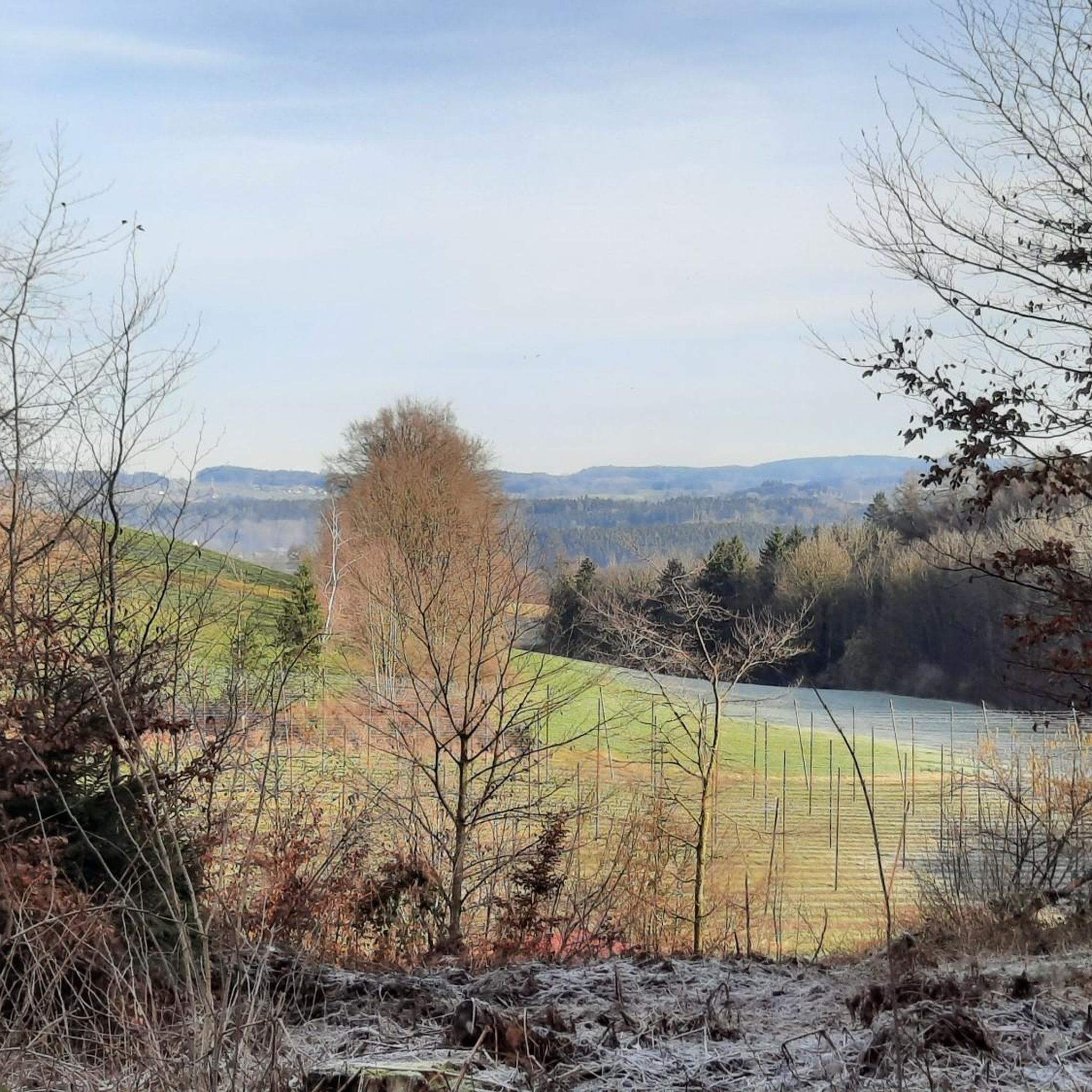
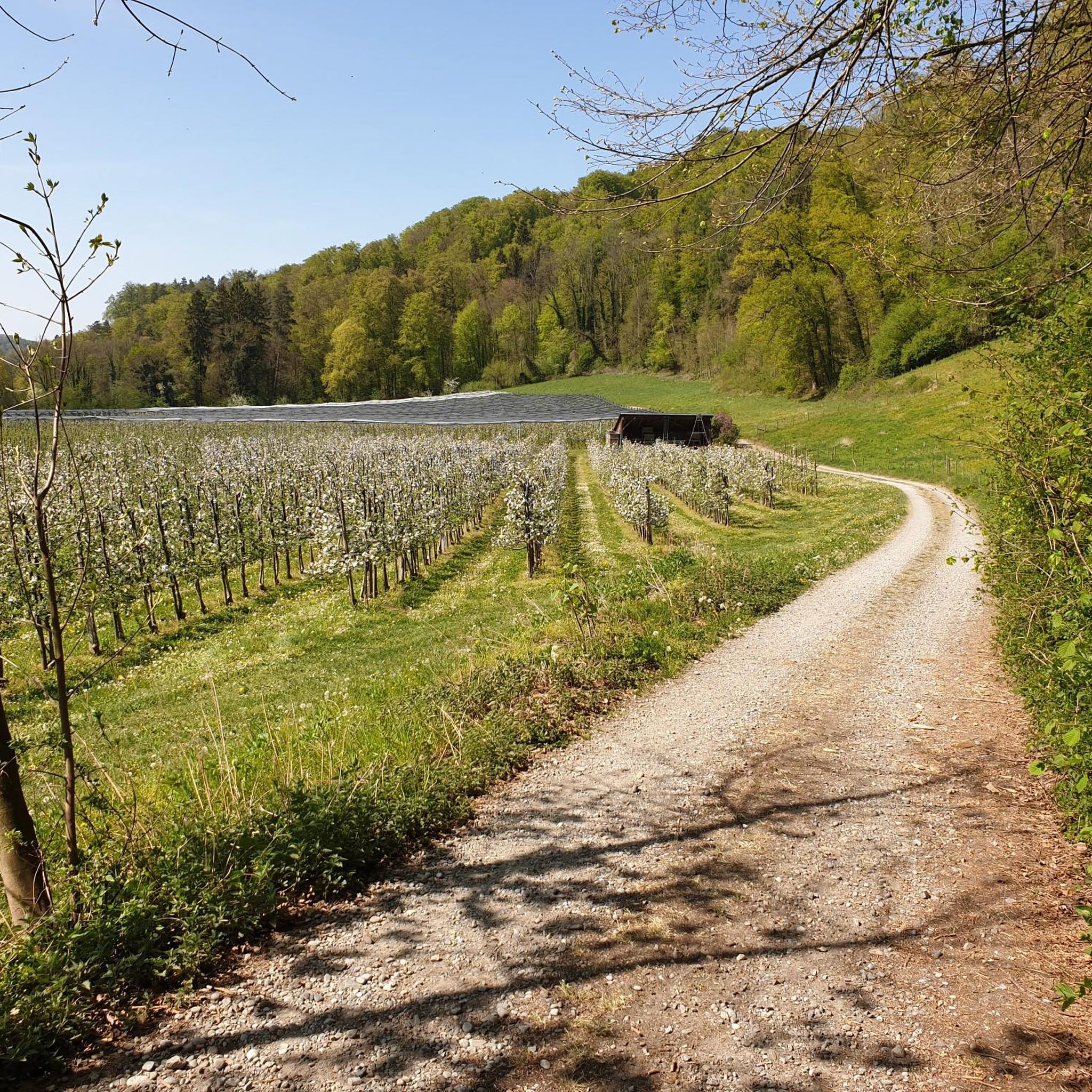
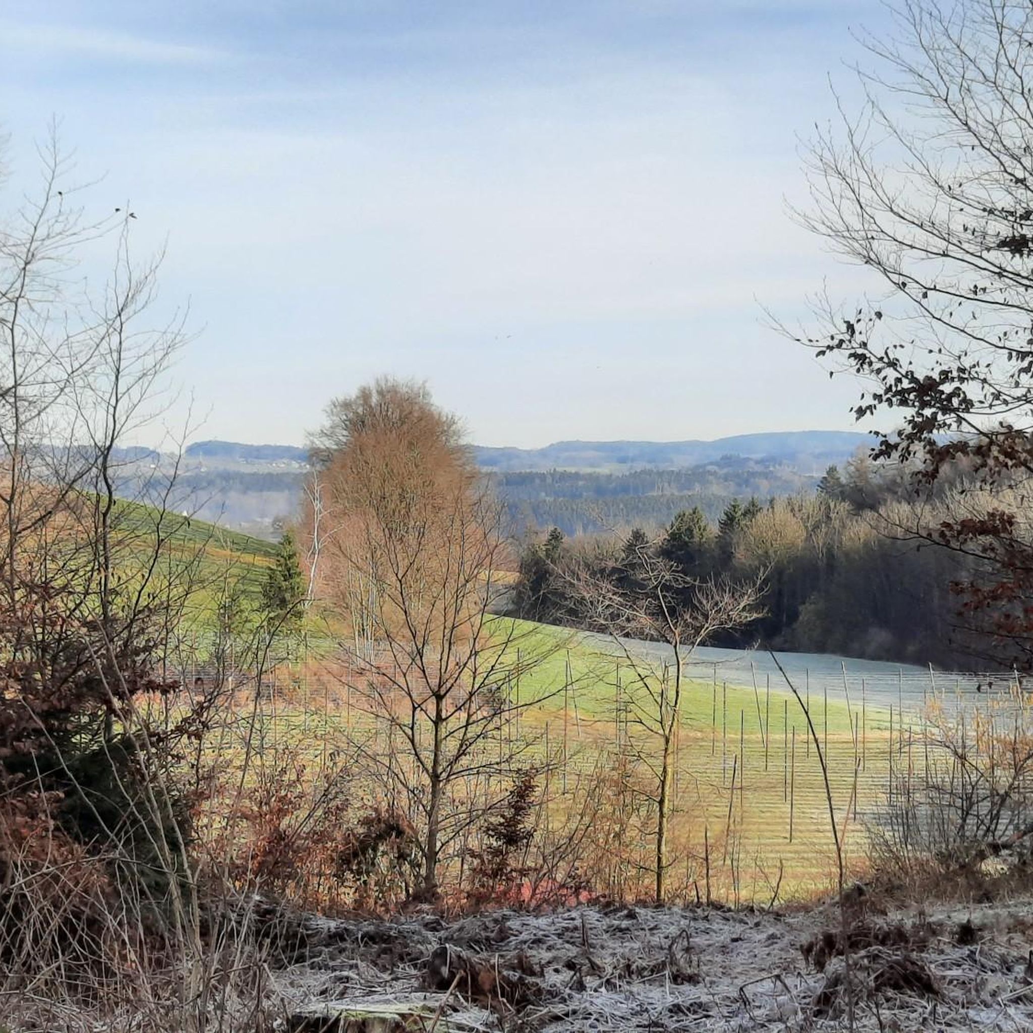
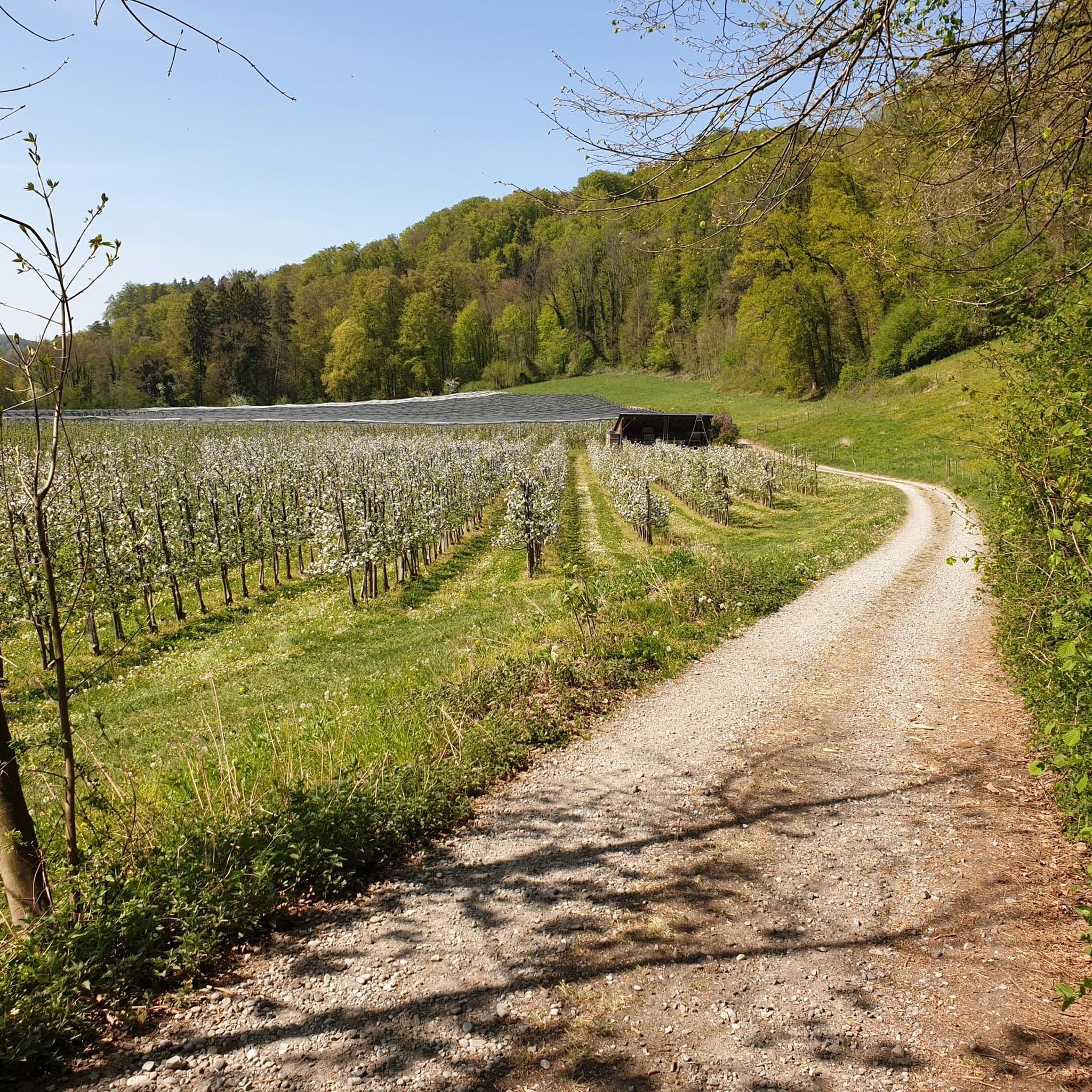

Tips from the Community

On the east side of the gravel quarry in Tettnanger Wald, refilling and renaturation or remodelling of the landscape has begun. The view of the turquoise gravel pit lake with a floating dredge and the Swiss mountains in the background is once again possible here.
1
0

Pushing your bike across the bridge
0
0

The Eriskircher Ried is a beautiful nature reserve.
0
0
During the growing season, the pavilion is almost invisible from the roadside. It stands slightly set back at the forest road junction. It's more of a shelter from bad weather.
3
0

The footbridge is located halfway from the bridge and car parks to the estuary and leads from one marina to the other
0
0
Beautiful bridge over the Argen.
1
0

Depending on the season, you can find cotton grass or orchid, also known as finger root
0
0

The entire area is dedicated to nature conservation and the preservation of biodiversity. There are numerous information boards indicating what to observe and where. The associated center offers various lectures for those interested. A big shout-out to the volunteers who do so much work.
0
0
Frequently Asked Questions
How many hiking trails are available in Tettnanger Wald?
Tettnanger Wald offers a wide selection of hiking opportunities, with over 60 trails available. These range from easy strolls to more moderate routes, ensuring options for various fitness levels.
Are there easy hiking options suitable for beginners or families in Tettnanger Wald?
Yes, Tettnanger Wald is well-suited for beginners and families, with 43 easy routes. A great option is the View of Hagenbuchener Weiher – Pond With Stone Dam and Bench loop from Bürgermoos, an easy 3.0 miles (4.9 km) path offering pleasant views of the pond.
Are dogs allowed on the hiking trails in Tettnanger Wald?
Generally, dogs are welcome on the hiking trails throughout Tettnanger Wald. As a forested area, it provides ample space for walks with your canine companion. Please ensure your dog is kept on a leash, especially near wildlife or other hikers, and always clean up after them.
What kind of natural attractions can I expect to see along the trails?
The Tettnanger Wald is characterized by dense woodlands and tranquil ponds. You can discover highlights such as the Lovers' Island in the Hagenbuchener Pond or the Pond With Stone Dam and Bench. The area also features riverine landscapes along the Argen.
Are there any circular walks in Tettnanger Wald?
Many of the trails in Tettnanger Wald are designed as circular routes, allowing you to start and end at the same point. An example is Hubi's Herb Garden Shop – Birkenweiher Nature Reserve loop from Birkenweiher, which is a popular 4.3-mile (7.0 km) loop through a nature reserve.
Where can I find parking for hiking in Tettnanger Wald?
Parking is available at various trailheads around Tettnanger Wald. A known parking spot is the Schäferhof Trailhead Parking (Tettnang), which provides convenient access to the trails.
What is the best time of year to hike in Tettnanger Wald?
Tettnanger Wald offers pleasant hiking experiences throughout much of the year. Spring brings fresh greenery, summer provides cool shade under the trees, and autumn showcases vibrant foliage. Winter can also be beautiful, though some paths might be muddy or icy. Always check local conditions before heading out.
Are there any places to eat or get refreshments near the hiking trails?
Yes, you can find options for refreshments. For example, the Besenwirtschaft Fam. Leuthold is listed as a restaurant in the vicinity, offering a chance to refuel after your hike.
What kind of wildlife might I encounter in Tettnanger Wald?
As a predominantly forested area, Tettnanger Wald is home to various local wildlife. Hikers might spot common forest animals such as deer, foxes, and a variety of bird species. Keep an eye out, especially during quieter times of the day.
Are there any more challenging hikes in Tettnanger Wald?
While Tettnanger Wald is known for its gentle terrain, there are 19 moderate routes for those seeking a bit more challenge. The Argensteg Pedestrian Bridge – Argen Bridge, Langenargen loop from GVV Eriskirch-Kressbronn am Bodensee-Langenargen is a moderate 10.3 miles (16.6 km) trail leading through riverine landscapes.
What do other hikers enjoy most about Tettnanger Wald?
The area is highly rated by the komoot community, with an average score of 4.3 stars from over 100 reviews. Reviewers often praise the tranquil ponds, dense woodlands, and the variety of well-maintained paths suitable for different experience levels.
Can I find trails that offer views of Lake Constance?
While Tettnanger Wald itself is primarily inland forest, some viewpoints in the broader region offer glimpses of Lake Constance. For instance, the View of Lake Constance from Hochwacht is a highlight in the area that provides such a vista.
Most popular routes in Tettnanger Wald
Most popular attractions in Tettnanger Wald

Get inspired with the komoot mobile app


Explore more
Browse the best Hikes in other regions.
