The best mountain hikes in Tiefwald
4.9
(32)
305
hikers
22
hikes
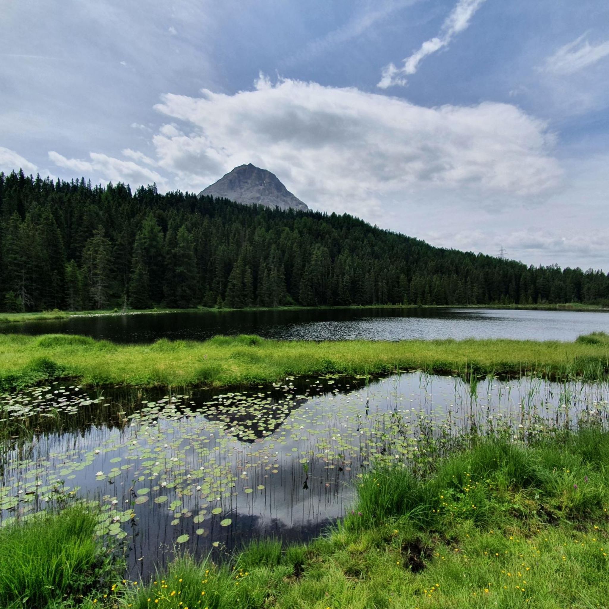
Mountaineering routes in Tiefwald traverse a high alpine landscape characterized by dramatic peaks, deep valleys, and glacial lakes. The region, situated in the Tiroler Oberland, features significant elevation changes, offering challenging ascents to prominent summits like Piz Lad and Fluchtwand. Dense forests, implied by the name "Tiefwald," likely cover lower slopes, transitioning to rocky, exposed terrain at higher altitudes. This environment provides a diverse setting for experienced mountaineers.
Best mountaineering routes in Tiefwald
- The most popular mountaineering route is View…
Last updated: May 11, 2026
21
hikers
14.5km
07:04
1,120m
1,120m
Hard mountaineering route. Very good fitness required. Sure-footedness, sturdy shoes and alpine experience required.
4.8
(4)
32
hikers
Moderate mountaineering route. Good fitness required. Mostly accessible paths. Sure-footedness required.

Sign up for free
5.0
(1)
13
hikers
Hard mountaineering route. Very good fitness required. Sure-footedness, sturdy shoes and alpine experience required.
5.0
(2)
7
hikers
9.42km
03:38
490m
490m
Moderate mountaineering route. Good fitness required. Mostly accessible paths. Sure-footedness required.
5.0
(1)
4
hikers
Moderate mountaineering route. Good fitness required. Mostly accessible paths. Sure-footedness required.
Get access to more routes and recommendations from other explorers.
Sign up for free
Already have an account?
Our route recommendations are based on thousands of hikes, rides, and runs completed by other people on komoot.
Start today with a free account
Your next adventure awaits.
Login or Signup

Tips from the Community


Piz Lad (2,808 m) lies above Resia in the border triangle of Italy, Austria, and Switzerland and is the northernmost mountain in South Tyrol. A beautiful summit cross stands on its summit, offering impressive views over the Upper Vinschgau Valley, Lake Resia with the church tower of Graun, as well as across to the Ötztal Alps, the Ortler region, and the Engadin Mountains. The summit is accessible via marked trails and is considered a worthwhile, but not too difficult, hiking destination with magnificent panoramas of three countries. Ibex are often encountered up here.
1
0
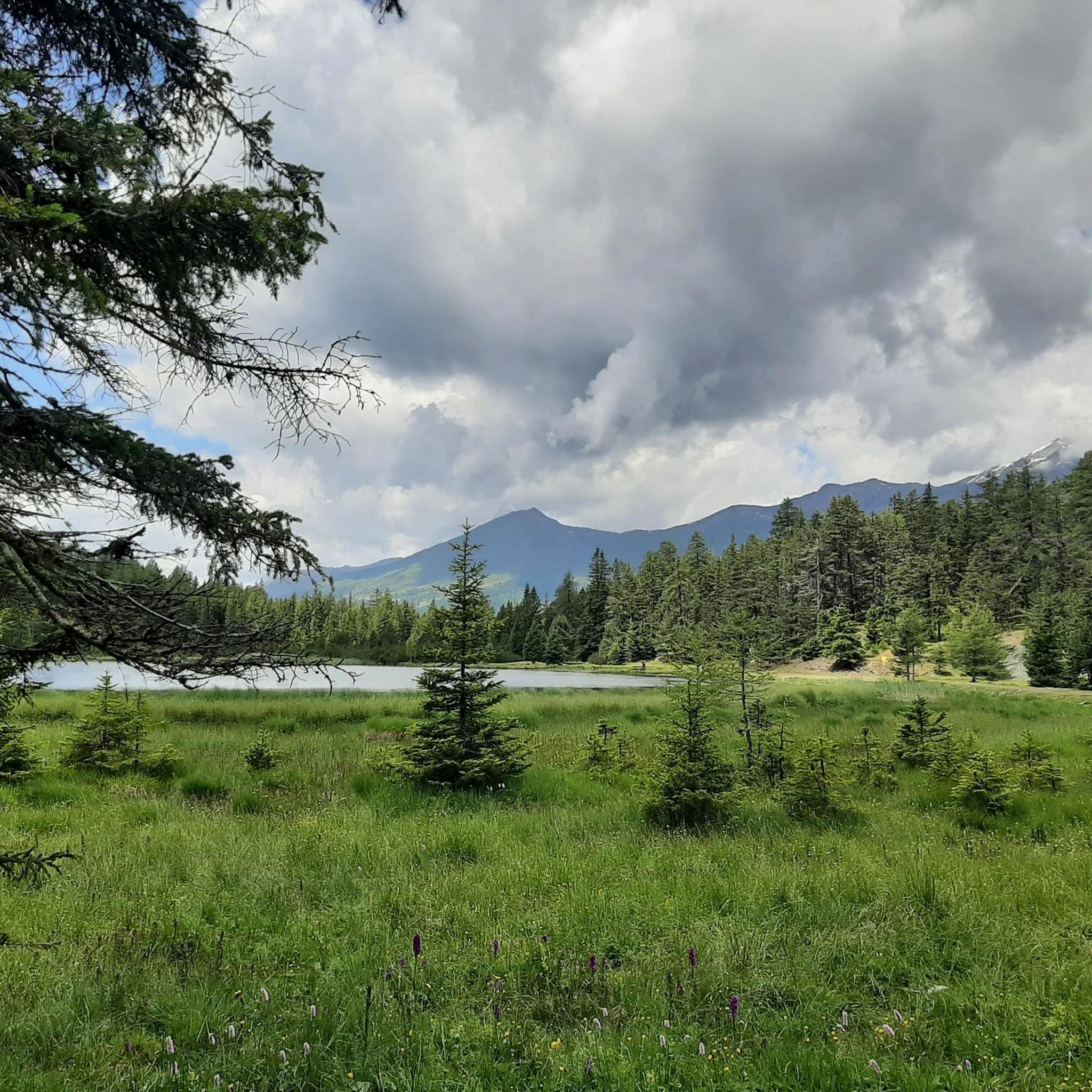
From here, you have a beautiful view of Lake Reschen and a cow trough. A simple bench stands next to it. A very small statue of Jesus hangs on the cross.
1
0

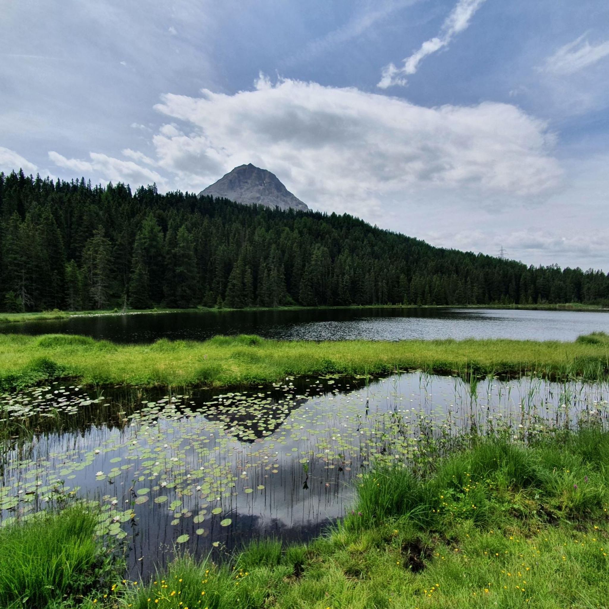
brilliant view of Lake Reschen
1
0

A strenuous and impressive hiking trail, but only suitable for experienced hikers without a fear of heights.
7
0
A strenuous but worthwhile climb, with some tricky sections. Not for casual hikers.
9
0


Advantage: There is a drinks machine here
1
0
Frequently Asked Questions
How many mountaineering routes are available in Tiefwald?
Tiefwald offers a substantial network for mountaineers, with over 25 routes documented on komoot. These routes cater primarily to experienced individuals, featuring significant elevation changes and challenging terrain.
Are there any moderate mountaineering routes in Tiefwald for those looking for a less strenuous challenge?
Yes, while Tiefwald is known for its difficult routes, there are also options for moderate mountaineering. For example, the Plamort Bunker Complex – Plamort Anti-tank Barriers loop from Etschquelle - Sorgente dell'Adige is a moderate 12.4 km route that takes around 4 hours 41 minutes. Another moderate option is the Grünsee – Schwarzer See Loop loop from Nauders, covering 12.5 km in about 4 hours 54 minutes.
What kind of natural landmarks can I expect to see along the mountaineering routes in Tiefwald?
Tiefwald's mountaineering routes often lead to stunning natural features. You might encounter beautiful alpine lakes like the Black Lake or the Green Lake. The region also features prominent summits such as Großmutzkopf, offering expansive views.
Are there any circular mountaineering routes in Tiefwald?
Many of Tiefwald's mountaineering routes are designed as loops, allowing you to start and end at the same point. A challenging example is the View of Lake Resia – Piz Lad Summit loop from Etschquelle - Sorgente dell'Adige, a difficult 14.5 km route. Another popular circular option is the Fluchtwand Summit Cross – Bazahlerkopf loop from Nauders, which is 17.7 km long and also difficult.
What do other mountaineers say about the routes in Tiefwald?
The mountaineering routes in Tiefwald are highly regarded by the komoot community, boasting an average rating of 4.9 stars from over 40 reviews. Users frequently praise the dramatic alpine landscapes, challenging ascents, and the breathtaking views of glacial lakes and prominent summits like Piz Lad and Fluchtwand.
What are the typical durations for mountaineering routes in Tiefwald?
The duration of mountaineering routes in Tiefwald varies significantly based on difficulty and distance. Difficult routes, such as the 15.7 km Piz Lad summit cross – View of Lake Resia loop from Etschquelle - Sorgente dell'Adige, can take around 7 hours or more. Moderate routes, like the 12.4 km Plamort Bunker Complex – Plamort Anti-tank Barriers loop from Etschquelle - Sorgente dell'Adige, typically range from 4 to 5 hours.
What are the general characteristics of the terrain in Tiefwald for mountaineering?
Tiefwald offers a diverse mountaineering landscape. You'll find dense forests on the lower slopes, transitioning to rocky, exposed terrain at higher altitudes. The region is characterized by dramatic peaks, deep valleys, and glacial lakes, providing a challenging and varied environment for experienced mountaineers.
Are there any historical or cultural points of interest along the mountaineering trails?
Yes, some routes in Tiefwald offer glimpses into the region's history. For instance, the Plamort Bunker Complex – Plamort Anti-tank Barriers loop from Etschquelle - Sorgente dell'Adige route passes by the Plamort Bunker Complex, which includes historical anti-tank barriers, adding a unique dimension to the alpine experience.
What kind of views can I expect on the mountaineering routes in Tiefwald?
Mountaineering in Tiefwald promises spectacular panoramic views. Many routes offer expansive vistas of the surrounding alpine landscape, including dramatic peaks, deep valleys, and picturesque glacial lakes such as Lake Resia. Summit crosses, like the one on Fluchtwand, provide particularly rewarding viewpoints.
Is Tiefwald suitable for beginner mountaineers?
Tiefwald's mountaineering routes are generally geared towards experienced individuals. The region features significant elevation changes and rugged terrain, with a majority of routes rated as difficult. While there are a few moderate options, beginners should approach these trails with caution and appropriate preparation.
What makes Tiefwald a unique destination for mountaineering?
Tiefwald stands out for its high alpine landscape, characterized by a striking combination of dramatic peaks, deep valleys, and pristine glacial lakes. The region, situated in the Tiroler Oberland, offers challenging ascents to prominent summits and a diverse environment that transitions from dense forests on lower slopes to exposed rocky terrain at higher altitudes, providing a truly immersive alpine experience.
Most popular routes in Tiefwald
Most popular attractions in Tiefwald

Get inspired with the komoot mobile app


Explore more
Browse the best Mountain Hikes & Routes in other regions.
