The best running trails in Bosch Di Rughel
5.0
(1)
217
runners
27
runs
Jogging routes in Bosch Di Rughel are characterized by challenging mountain terrain with significant elevation changes. The region features steep ascents and descents, making it suitable for experienced runners seeking demanding trails. The landscape primarily consists of high-altitude paths and mountainous loops.
Best jogging routes in Bosch Di Rughel
- The most popular jogging route is Via Panoramica – loop run in Valle Calanca, a 6.6 miles (10.6 km) trail that takes 1 hour 48 minutes to complete. This difficult…
Last updated: July 7, 2026
3
runners
10.6km
01:48
710m
710m
Hard run. Very good fitness required. Sure-footedness, sturdy shoes and alpine experience required.
2
runners
23.7km
05:29
2,000m
2,000m
This difficult 14.7-mile (23.7 km) jogging route to Pizzo di Claro and Laghetto di Canèe offers challenging terrain and stunning alpine view

Sign up for free
1
runners
8.77km
01:41
690m
690m
A difficult 5.4-mile (8.8 km) loop run from Bodio to Selma, gaining 2277 feet (694 metres) in 1 hour 40 minutes.
8.46km
02:02
1,020m
1,020m
Hard run. Very good fitness required. Sure-footedness, sturdy shoes and alpine experience required.
12.7km
03:21
1,460m
1,460m
A difficult 7.9-mile (12.7 km) jogging route to the Alpe di Örz, featuring a waterfall and mountain pass with significant elevation gain.
Get access to more routes and recommendations from other explorers.
Sign up for free
Already have an account?
Our route recommendations are based on thousands of hikes, rides, and runs completed by other people on komoot.
Start today with a free account
Your next adventure awaits.
Login or Signup
Popular around Bosch Di Rughel
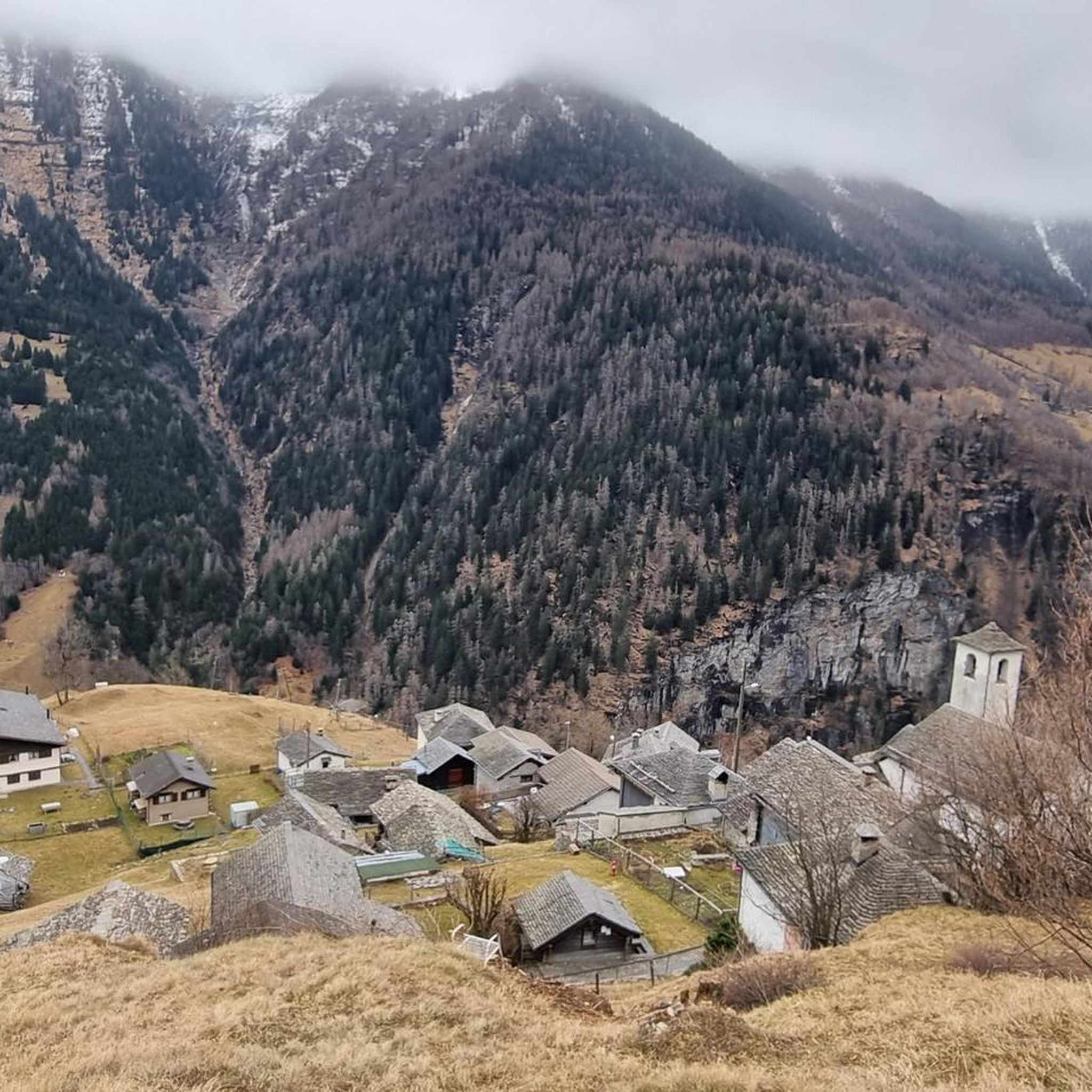
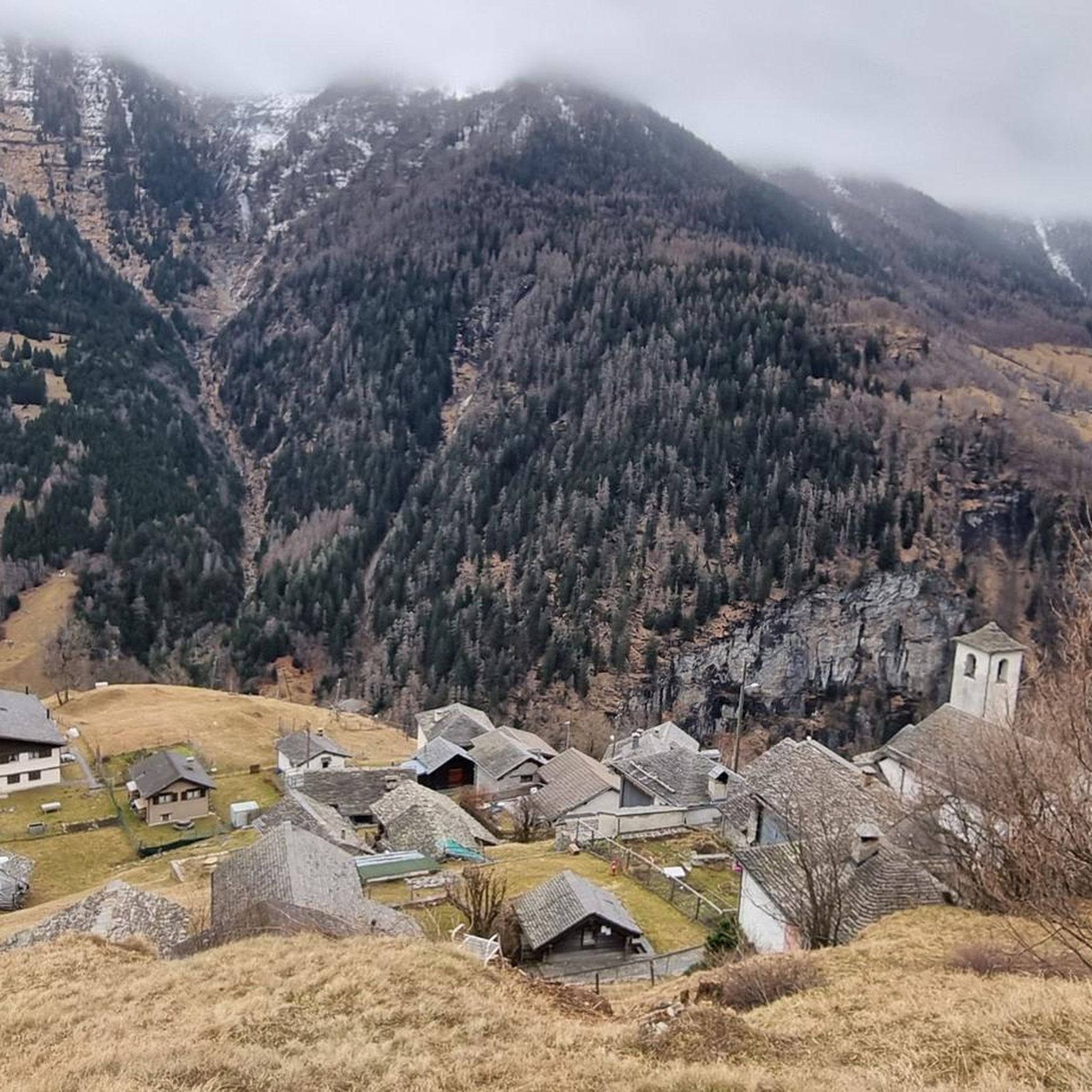
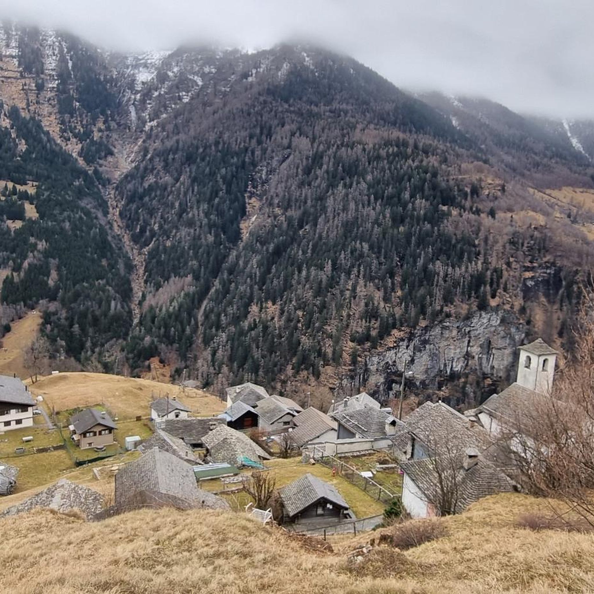
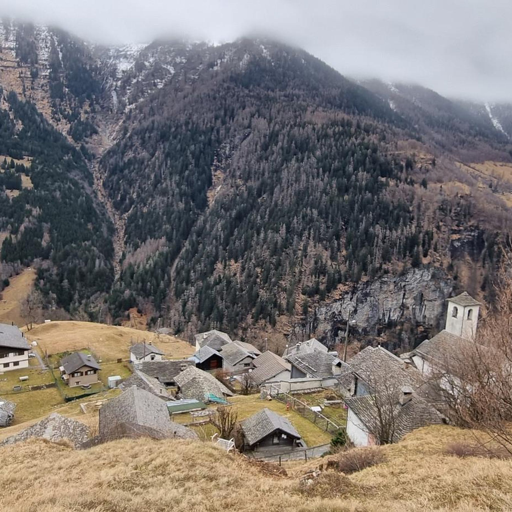
Tips from the Community

Level T4 ascent, difficult route for experienced hikers, but with few exposed sections and easily passable. Caution is advised in late summer due to snow.
2
0

The mountain pasture came back to life in 2019 on the initiative of the «Bergwaldprojekt», an association founded in 1987 in Trin, in the canton of Grisons, with the aim of promoting the conservation, maintenance and protection of the forest and the cultural landscape of the mountain areas.
0
0

By leaving slightly from the Calanca Alpine path, you can enjoy an exceptional point of view over the Calanca Valley, it's worth it!
0
0
Alpe d'Aion came back to life in 2019 on the initiative of the «Bergwaldprojekt», an association that aims to promote the conservation, maintenance and protection of the forest and the cultural landscape of mountain areas.
1
0
The path allows an immersion in the woods above the villages of Lego and Cavaionc and some suggestive glimpses of the valley below.
0
0
Enchanting and wild mountain pasture with an incredible view of the Ticino valley and a beautiful waterfall to cool off
0
0
The nozzle allows passage between Grisons and Ticino. The descent on the Ticino side is a little steep, but doable.
0
0
Enchanting and fun single track in the shade of the trees, along the Calancasca stream.
0
0
Frequently Asked Questions
What kind of running terrain can I expect in Bosch Di Rughel?
Jogging routes in Bosch Di Rughel are characterized by challenging mountain terrain with significant elevation changes. You'll encounter steep ascents and descents, high-altitude paths, and demanding mountainous loops. The region is best suited for experienced runners seeking difficult trails.
Are there any easy or beginner-friendly running routes in Bosch Di Rughel?
The routes in Bosch Di Rughel are primarily designed for experienced runners. Out of 21 available routes, 19 are classified as difficult, and 2 as moderate. There are no easy routes, so beginners should be prepared for challenging conditions and significant elevation gains.
How many running routes are available in Bosch Di Rughel?
There are 21 running routes available in Bosch Di Rughel on komoot. These routes offer a variety of challenging mountain experiences for runners.
What is the typical length and elevation gain for running trails in Bosch Di Rughel?
The running trails vary in length and elevation. For example, the Via Panoramica – loop run in Valle Calanca is 6.6 miles (10.6 km) with over 700 meters of elevation gain. The Pizzo di Claro and Laghetto di Canèe Loop is a longer 14.7 miles (23.7 km) path with over 2000 meters of climbing.
Are there any loop running trails in Bosch Di Rughel?
Yes, many of the running routes in Bosch Di Rughel are loop trails. Popular options include the Via Panoramica – loop run in Valle Calanca, the Pizzo di Claro and Laghetto di Canèe Loop, and the Landarenca Loop Trail, all offering circular paths through the mountainous landscape.
What are some of the most challenging running routes in the region?
For a significant challenge, consider the Pizzo di Claro and Laghetto di Canèe Loop, which is 14.7 miles (23.7 km) with over 2000 meters of climbing. Another demanding option is the Cima d'Oerz Trail, covering 12.7 km with over 1460 meters of elevation gain.
Are the running trails in Bosch Di Rughel suitable for families or children?
Given the description of Bosch Di Rughel's trails as 'challenging mountain terrain with significant elevation changes' and primarily for 'experienced runners,' most routes are not suitable for families with young children or those seeking an easy stroll. There are no easy-rated routes available.
Can I bring my dog on the running trails in Bosch Di Rughel?
While specific regulations for dogs on these trails are not provided, the mountainous and challenging nature of the routes means that only well-conditioned dogs accustomed to strenuous, high-altitude terrain would be suitable. Always ensure your dog is leashed and you carry enough water for both of you.
What kind of views or natural attractions can I expect while running in Bosch Di Rughel?
The region offers extensive mountain views due to its high-altitude paths and mountainous loops. Routes like the Pizzo di Claro and Laghetto di Canèe Loop are specifically highlighted for their panoramic mountain vistas.
What is the best time of year for running in Bosch Di Rughel?
Considering the challenging mountain terrain and high-altitude paths, the best time for running in Bosch Di Rughel is likely during the warmer months when trails are free of snow and ice, typically from late spring to early autumn. Winter running would be extremely challenging and potentially hazardous due to snow and icy conditions.
Are there any moderate running routes in Bosch Di Rughel?
Yes, while most routes are difficult, there are 2 moderate running routes available. These still involve significant effort but are less extreme than the difficult trails. Always check the route details on komoot for specific elevation and distance information.
How popular are the running trails in Bosch Di Rughel?
The running trails in Bosch Di Rughel are quite popular among the komoot community, with over 150 runners having used komoot to explore the region's varied and challenging terrain. This indicates a strong interest from experienced trail runners.
Most popular routes in Bosch Di Rughel

Get inspired with the komoot mobile app


Explore more
Browse the best Running Trails & Routes in other regions.
