The best walks and hikes in Bosco Di Castaneda
4.6
(203)
1,636
hikers
88
hikes
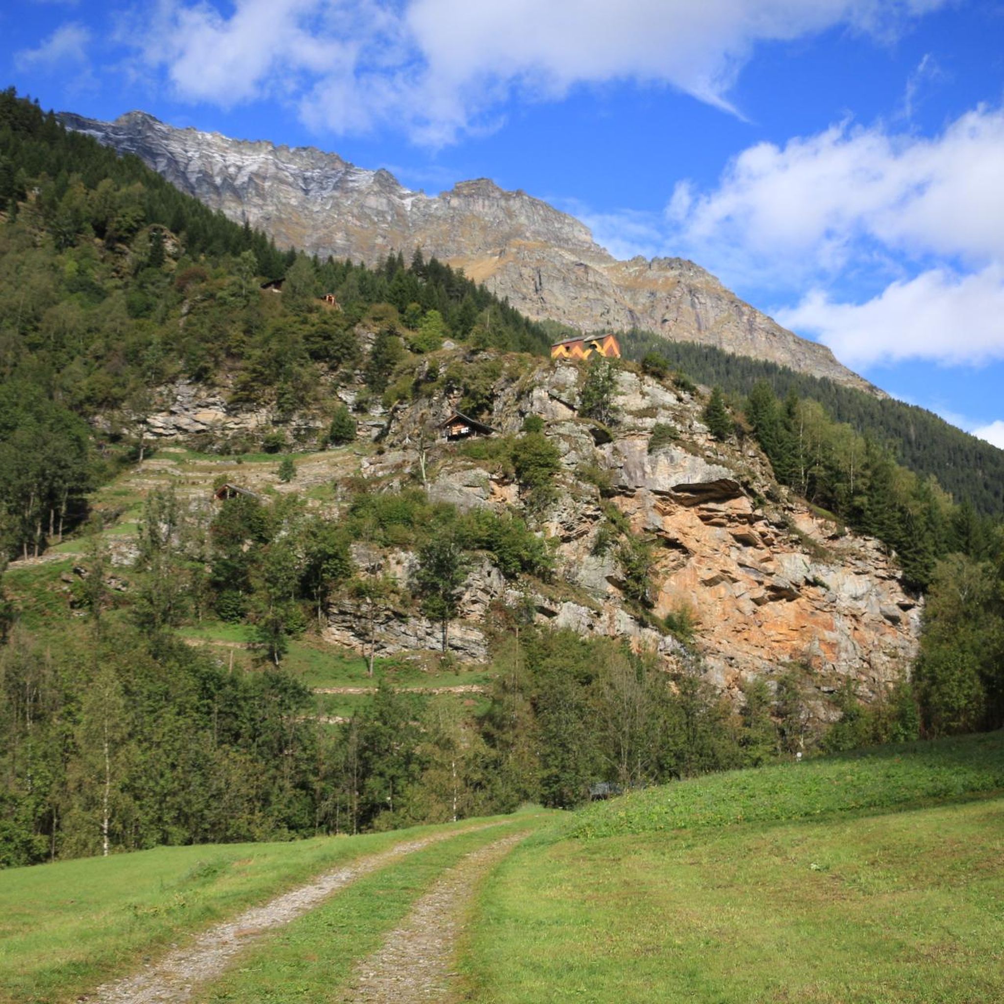
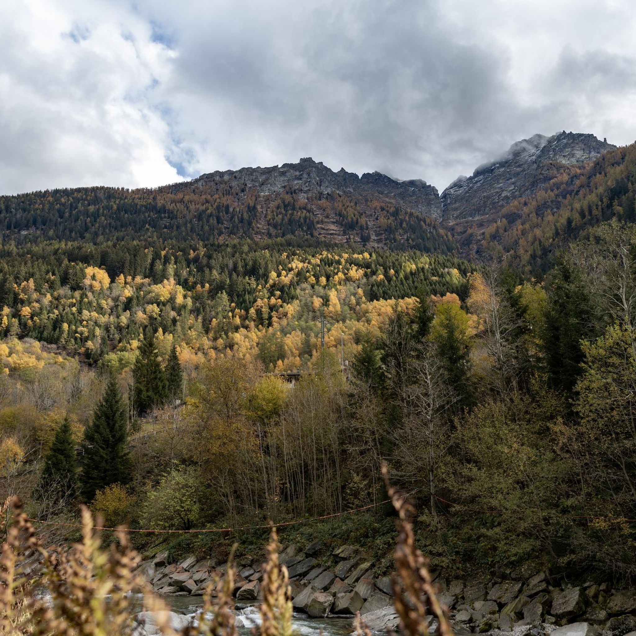
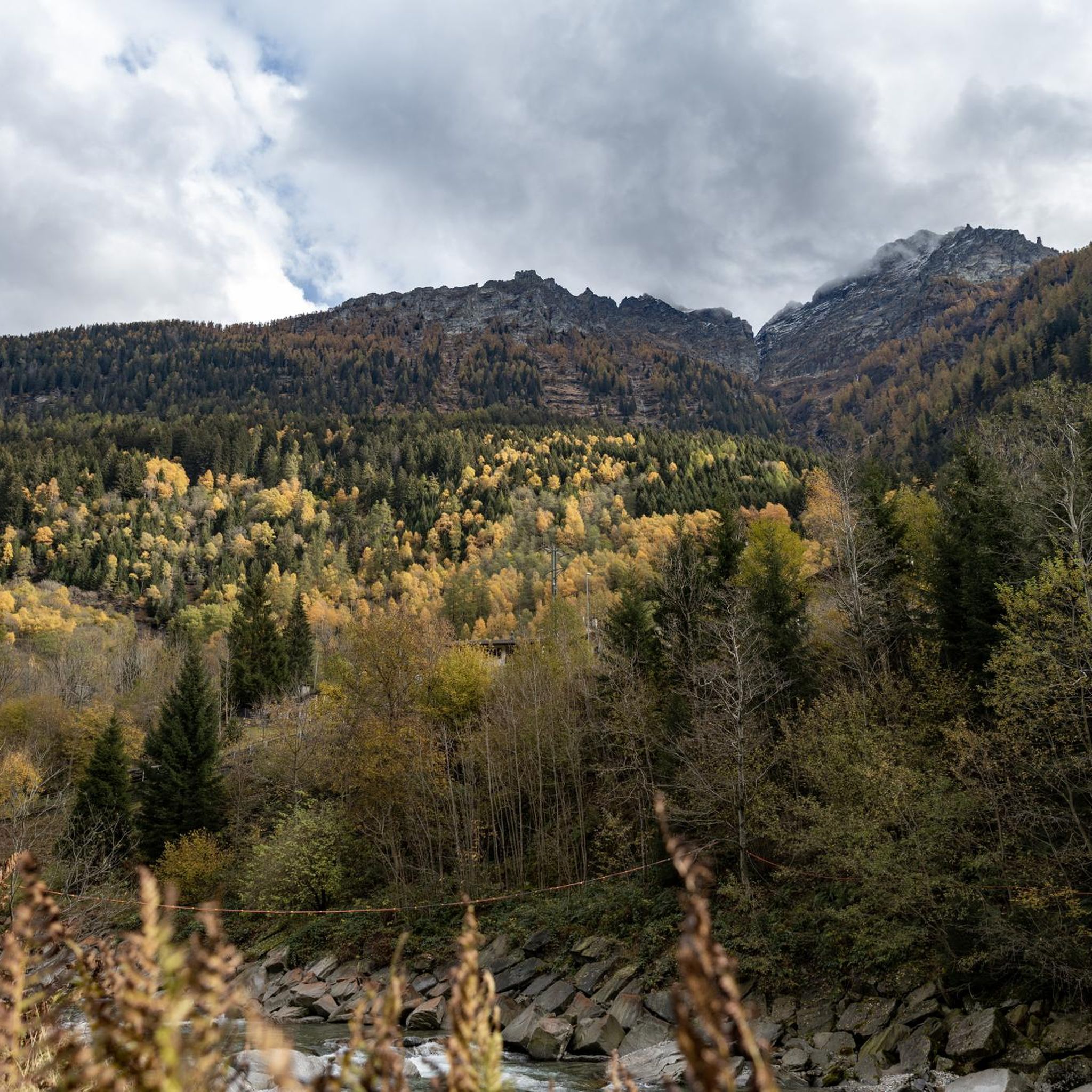
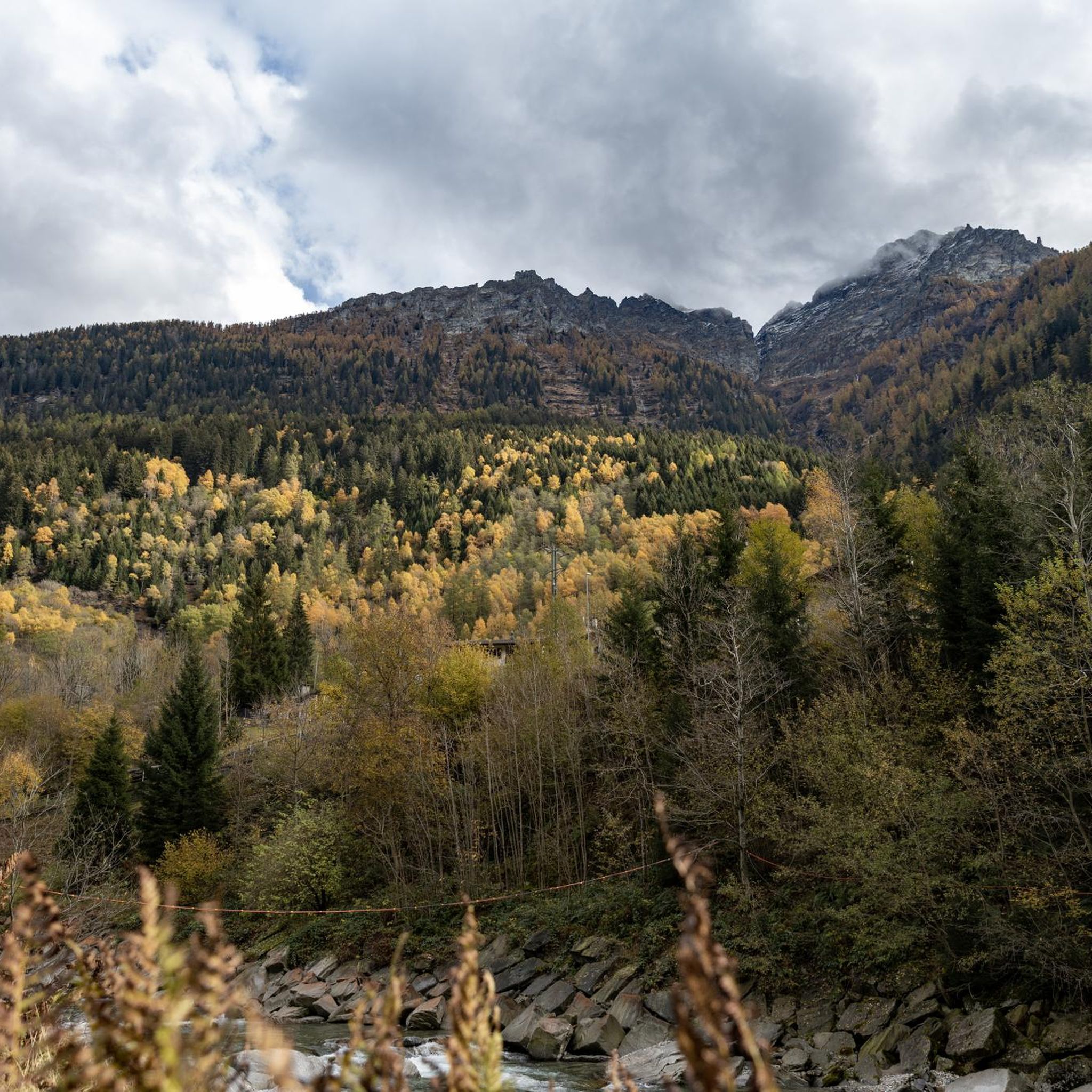
Hiking in Bosco Di Castaneda offers diverse trails through picturesque forests and alpine environments in the Moësa region of Grisons, Switzerland. The area is characterized by varied terrain, ranging from gentle paths to challenging ascents. Hikers can experience alpine vistas and historic villages within the Calanca Valley. The region provides a network of routes suitable for different skill levels and preferences.
Best hiking trails in Bosco Di Castaneda
- The most popular hiking route is Arvigo, Braggio, and Mont de Fora…
Last updated: July 7, 2026
4.3
(6)
28
hikers
10.6km
04:09
710m
710m
Moderate hike. Good fitness required. Mostly accessible paths. Sure-footedness required.
4.0
(3)
12
hikers
8.82km
04:03
690m
690m
Moderate hike. Good fitness required. Mostly accessible paths. Sure-footedness required.

Sign up for free
5.0
(1)
8
hikers
23.7km
11:48
2,000m
2,000m
Hard hike. Very good fitness required. Sure-footedness, sturdy shoes and alpine experience required.
5.0
(1)
7
hikers
8.46km
04:22
1,020m
1,020m
Hard hike. Very good fitness required. Sure-footedness, sturdy shoes and alpine experience required.
12.7km
07:24
1,460m
1,460m
Hard hike. Very good fitness required. Mostly accessible paths. Sure-footedness required.
Get access to more routes and recommendations from other explorers.
Sign up for free
Already have an account?
Our route recommendations are based on thousands of hikes, rides, and runs completed by other people on komoot.
Start today with a free account
Your next adventure awaits.
Login or Signup
Tips from the Community

Level T4 ascent, difficult route for experienced hikers, but with few exposed sections and easily passable. Caution is advised in late summer due to snow.
2
0

Self-service gondola, easy to access and not overcrowded
0
0

Enchanting and wild mountain pasture with an incredible view of the Ticino valley and a beautiful waterfall to cool off
0
0
The nozzle allows passage between Grisons and Ticino. The descent on the Ticino side is a little steep, but doable.
0
0
Pizzo di Claro or Visagno, at 2727 m, is a beautiful, little-frequented peak located on the border between the Swiss cantons of Ticino and Grisons. The climb from Piz de Molinera is more demanding than that of the east side.
0
0
Landarenca is located at an altitude of 1252 meters on a terrace on the right side of the Calanca Valley and can only be reached on foot or by cable car. The town is located on a small terrace leaning against the rocks overlooking the valley.
0
0
At the foot of the Pizzo di Claro lies the Canèe lake, an idyllic mountain lake with crystal clear water in a treasure chest of mountains.
0
0
Braggio is a small town of around 50 inhabitants, reachable on foot or via the funicular. The village is made up of very well preserved old wooden and stone houses, a romantic little church and a restaurant, the Val Meira Hostel, where it is possible to stop.
0
0
Frequently Asked Questions
How many hiking trails are available in Bosco Di Castaneda?
There are nearly 90 hiking trails in Bosco Di Castaneda, offering a wide range of options. This includes 8 easy routes, 40 moderate trails, and 39 difficult paths, catering to various skill levels and preferences.
Are there easy hiking trails suitable for beginners or families?
Yes, Bosco Di Castaneda offers 8 easy hiking trails, perfect for beginners or families looking for a relaxed outdoor experience. These routes typically involve less elevation gain and shorter distances, allowing everyone to enjoy the picturesque forests and natural beauty of the region.
What kind of landscapes can I expect to see while hiking in Bosco Di Castaneda?
Hikers in Bosco Di Castaneda can expect diverse landscapes, including picturesque forests and alpine environments. Many trails also pass through historic villages within the Calanca Valley, offering a blend of natural beauty and cultural insights. You'll encounter varied terrain, from gentle paths to more challenging ascents.
Are there any circular hiking routes in Bosco Di Castaneda?
Yes, there are several circular routes available. For example, the From Bodio to Selma – loop tour is a moderate 5.5-mile path that allows you to experience varied terrain and return to your starting point. Another option is the Arvigo, Braggio, and Mont de Fora Loop, which showcases historic villages and alpine views.
What do other hikers enjoy most about the trails in Bosco Di Castaneda?
The hiking trails in Bosco Di Castaneda are highly rated by the komoot community, with an average score of 4.7 stars from over 180 reviews. Hikers often praise the diverse terrain, the stunning alpine vistas, and the charm of the historic villages encountered along the routes. The well-documented nature of the trails also contributes to a positive experience.
Are there any challenging hikes for experienced mountaineers?
Absolutely. Bosco Di Castaneda features 39 difficult trails designed for experienced hikers seeking a challenge. Routes like Pizzo di Claro and Laghetto di Carré, a demanding 14.7-mile trail with over 2,000 meters of ascent, lead through alpine environments and require good physical condition and mountain experience.
Is Bosco Di Castaneda suitable for dog-friendly hikes?
While specific dog-friendly regulations can vary by trail and season, many paths in Bosco Di Castaneda are generally suitable for hiking with dogs, provided they are kept on a leash and you adhere to local guidelines. The diverse terrain and natural environments offer plenty of opportunities for you and your canine companion to explore.
Where can I find parking for hiking trails in Bosco Di Castaneda?
Parking availability varies by trailhead. For popular routes, it's advisable to check specific tour details on komoot for information on designated parking areas. Many villages that serve as starting points for trails, such as those in the Calanca Valley, often have public parking options.
Can I reach the hiking areas in Bosco Di Castaneda using public transport?
Yes, public transport can be used to access various parts of the Bosco Di Castaneda region and the Calanca Valley. Services connect to some of the historic villages that serve as trailheads. It's recommended to check local bus schedules to plan your journey to specific starting points.
What is the best time of year to go hiking in Bosco Di Castaneda?
The best time to hike in Bosco Di Castaneda is typically during the warmer months, from late spring to early autumn (May to October), when trails are clear of snow and weather conditions are generally favorable. During this period, you can fully enjoy the alpine vistas and forest paths. Some higher-altitude trails may still have snow earlier in the season.
Are there any amenities like cafes or restaurants near the hiking trails?
The Bosco Di Castaneda region, particularly in and around the historic villages of the Calanca Valley, offers amenities such as cafes and restaurants. These can be found in villages like Arvigo, Braggio, or Selma, providing opportunities for refreshments and meals before or after your hike.
Most popular routes in Bosco Di Castaneda

Get inspired with the komoot mobile app


Explore more
Browse the best Hikes in other regions.
