The best walks and hikes in Forêt Des Champs
4.6
(1853)
18,985
hikers
510
hikes
Hiking trails in Forêt Des Champs traverse a diverse landscape characterized by mixed forests, rocky terrain, and alpine meadows. The region, often associated with areas like Valais, Switzerland, and the Champsaur Valley, offers varied elevation changes and panoramic viewpoints. Hikers can expect a blend of serene woodlands and open mountain vistas, with trails winding through natural features such as passes and mountain lakes.
Best hiking trails in Forêt Des Champs
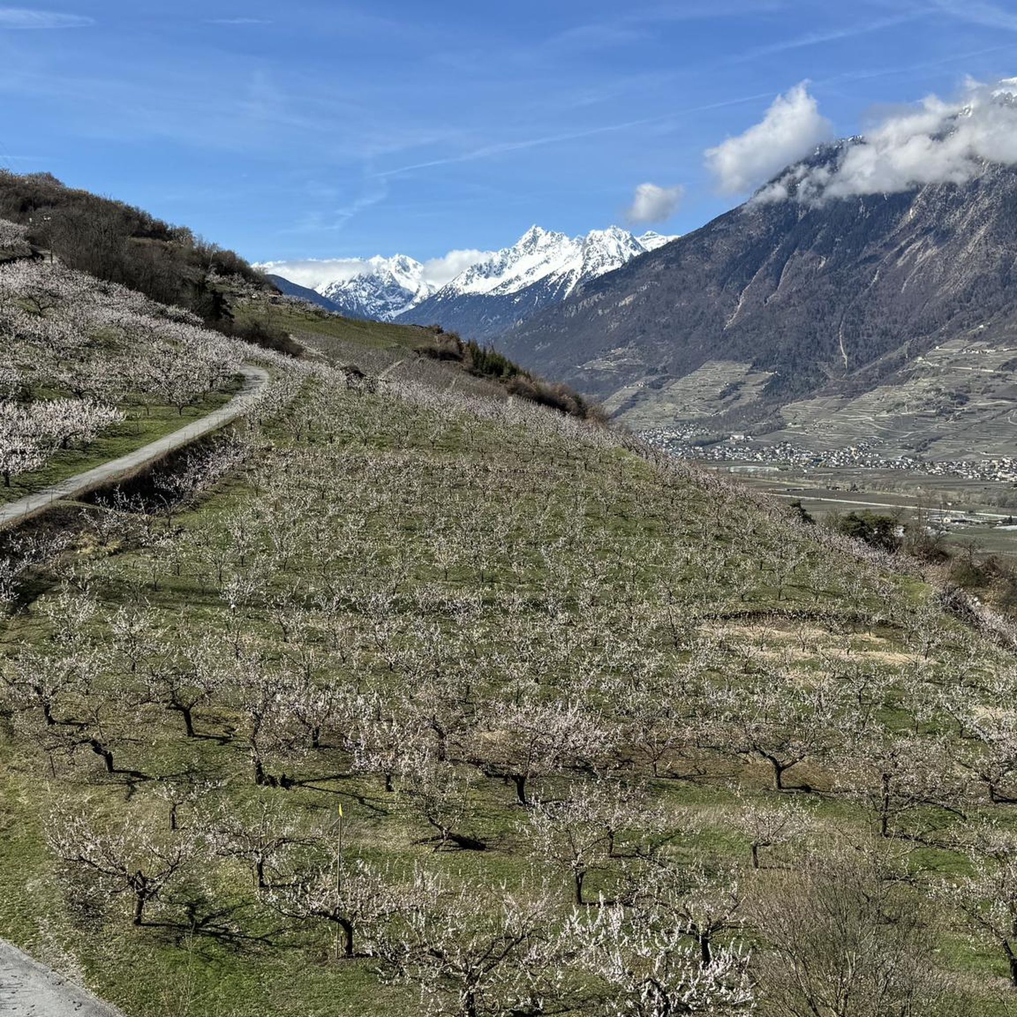
- The most popular hiking route is Apricot Trail and Waterfall…
Last updated: May 14, 2026
5.0
(2)
42
hikers
6.47km
02:15
350m
350m
Moderate hike. Good fitness required. Easily-accessible paths. Suitable for all skill levels.
10
hikers
4.58km
01:40
210m
210m
Moderate hike. Great for any fitness level. Mostly accessible paths. Sure-footedness required.

Sign up for free
5.0
(1)
9
hikers
13.5km
05:56
920m
920m
Hard hike. Very good fitness required. Sure-footedness, sturdy shoes and alpine experience required.
4.4
(7)
38
hikers
7.03km
02:36
280m
280m
Hard hike. Good fitness required. Sure-footedness, sturdy shoes and alpine experience required.
4.7
(17)
169
hikers
10.3km
03:39
450m
450m
Moderate hike. Good fitness required. Mostly accessible paths. Sure-footedness required.
Get access to more routes and recommendations from other explorers.
Sign up for free
Already have an account?
Our route recommendations are based on thousands of hikes, rides, and runs completed by other people on komoot.
Start today with a free account
Your next adventure awaits.
Login or Signup
Tips from the Community

The Chute du Bisse is a breathtaking natural spectacle above Verbier. The crystal-clear water of the old irrigation channel plunges roaring into the depths, enveloping the surroundings with a fine mist. A magical place that is guaranteed to enchant you.
0
0

The Bisse de Saxon is nicknamed the King of Bisses because of its length. It is indeed the longest irrigation canal, running 26 kilometers along the cliffside. Today, the facilities have given way to a hiking trail that allows visitors to retrace the path taken by the waters from Boveresse. It is a wild trail offering superb views of the mountains.
0
0

At this point, the trail runs through a mountain stream; waterproof footwear is recommended. There's an alternative route where you won't get wet.
0
0

From Les Ruinettes, steep and rocky, at least the 'direct' path is.
0
0

Beautiful mountain lake! Perfect for cooling off and taking a short rest.
0
0

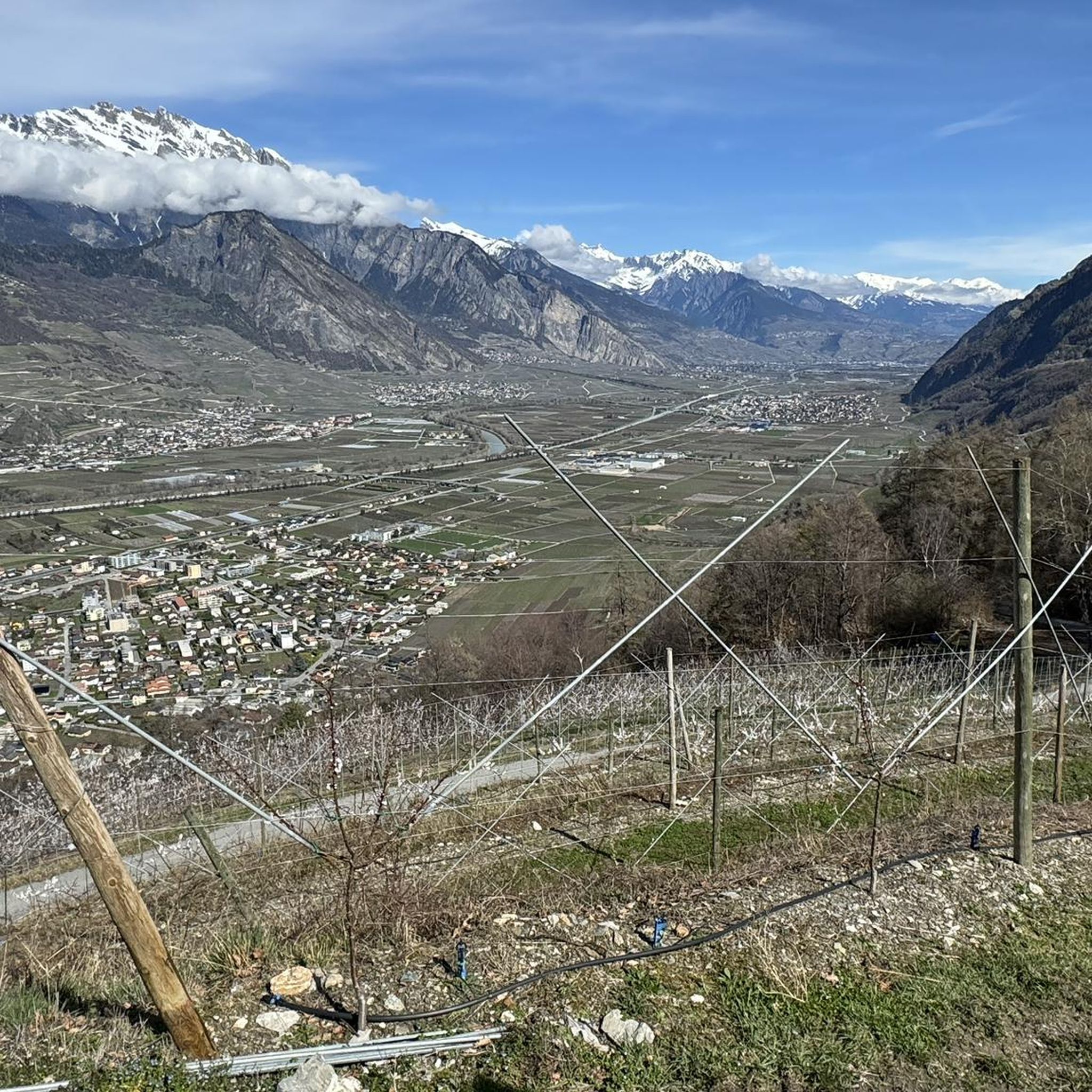
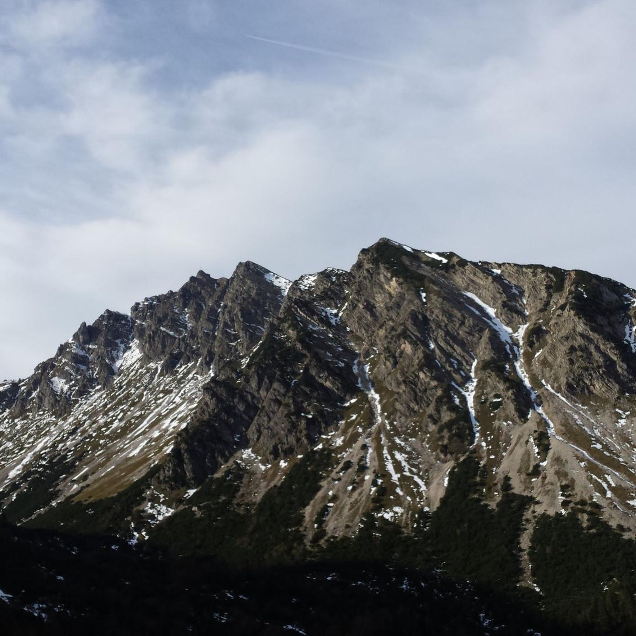
View of the rocky ridge of Pierre Avoi, as well as a spectacular panorama of the Rhone Valley and the Valais Alps.
0
0

Frequently Asked Questions
How many hiking trails are available in Forêt Des Champs?
Forêt Des Champs offers a wide selection of hiking trails, with over 500 routes to explore. These range from easy walks to more challenging alpine experiences, catering to various fitness levels.
What types of landscapes will I encounter on hikes in Forêt Des Champs?
Hikers in Forêt Des Champs can expect a diverse landscape featuring mixed forests, rocky sections, and expansive alpine meadows. The region, often associated with areas like Valais, Switzerland, and the Champsaur Valley, offers a blend of serene woodlands and open mountain vistas, with trails winding through natural features such as passes and mountain lakes.
Are there any hikes that feature waterfalls?
Yes, you can find hikes with waterfalls. A notable option is the Apricot Trail and Waterfall loop from Saxon, which is a moderate route passing through scenic orchards and featuring a beautiful waterfall. The Saut du Laire waterfall in the Haut-Champsaur valley is also a significant attraction.
Can I find trails with panoramic views in Forêt Des Champs?
Absolutely. Many trails offer breathtaking panoramic views. For instance, the difficult Pierre Avoi Summit – Pierre Avoi loop from Pierre Avoi provides expansive vistas over the Valais region. The Col des Mines also offers perfect alpine views of the endless sea of rocky peaks in Valais, and the Pic de Gleize rewards hikers with stunning views over the Champsaur, Dévoluy, and Gapençais regions.
Are there any mountain lakes accessible by hiking?
Yes, the region features beautiful mountain lakes. The View from Croix de Coeur – Lac des Vaux loop from Croix de Coeur is a moderate hike that leads to Lac des Vaux, which is highlighted as a perfect spot for cooling off and resting.
What are the different difficulty levels for hiking trails in Forêt Des Champs?
The trails in Forêt Des Champs cater to all abilities. There are nearly 100 easy routes, over 280 moderate trails, and more than 140 difficult paths. The difficulty is categorized from SAC 1 for easily accessible paths suitable for all skill levels to SAC 4-6 for more demanding alpine experiences requiring very good fitness and alpine experience.
Are there any circular hiking routes available?
Yes, many circular routes are available. Examples include the Apricot Trail and Waterfall loop from Saxon, the Pierre Avoi Summit – Pierre Avoi loop from Pierre Avoi, and the Pierre Avoi - Croix de Coeur Loop Trail, all designed as loops for convenient exploration.
What do other hikers enjoy most about hiking in Forêt Des Champs?
The area is highly rated by the komoot community, with an average score of 4.6 stars from over 1800 reviews. Reviewers often praise the diverse terrain, from serene woodlands to open mountain vistas, and the breathtaking panoramic views offered by many trails. The variety of routes suitable for different skill levels is also frequently highlighted.
What kind of wildlife might I see while hiking?
Hikers in areas like the Champsaur and Valgaudemar valleys, which share characteristics with Forêt Des Champs, may encounter local wildlife such as marmots and chamois, particularly in higher alpine meadows and rocky terrains.
Are there any historical or cultural elements to discover along the trails?
In regions like the Champsaur Valley, which is associated with Forêt Des Champs, hikers can appreciate traditional Alpine farming practices and the historic charm of the valley's villages, offering a blend of adventure and cultural insight.
Are there options for longer, more challenging hikes?
Yes, Forêt Des Champs offers several longer and more challenging routes. For example, the difficult Col de la Croix de Cœur – Mines Pass loop from Croix de Coeur covers over 15 kilometers and involves significant elevation gain, suitable for experienced hikers seeking a demanding alpine experience.
Most popular routes in Forêt Des Champs

Get inspired with the komoot mobile app


Explore more
Browse the best Hikes in other regions.
