The best road cycling routes in Forêt De Rhonne
4.6
(506)
21,704
riders
115
rides
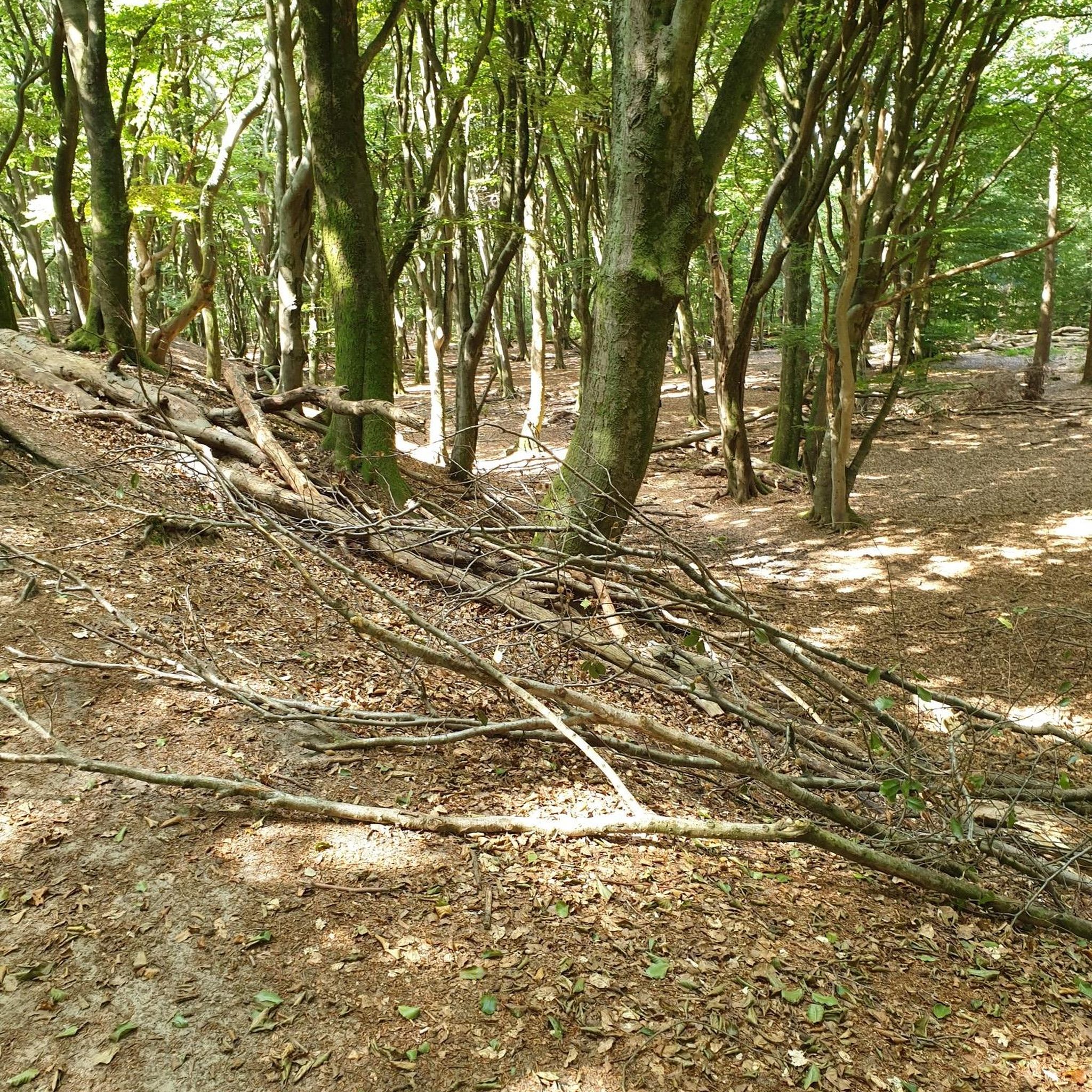
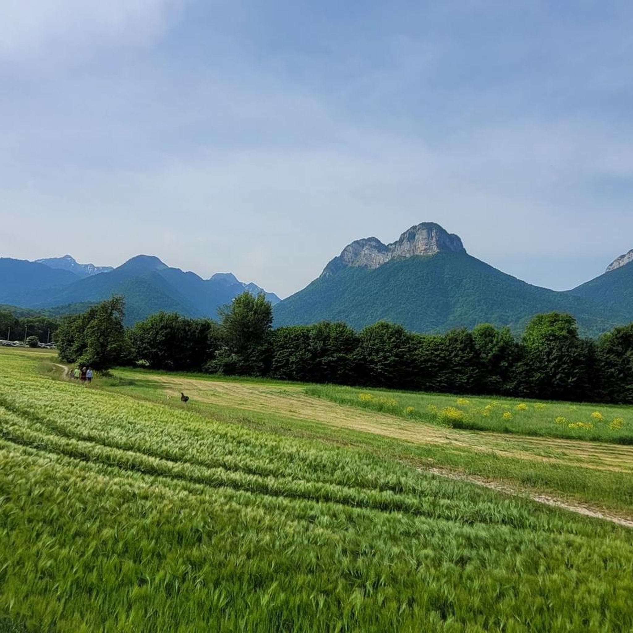
Road cycling in Forêt De Rhonne is characterized by dense woodlands, winding river courses, and varied terrain, offering a diverse landscape for cyclists. The forest features elevated viewpoints such as the Col des Fontanettes, providing expansive panoramas. Situated near Albertville, it serves as a gateway to mountainous areas like the Arly River Gorge and the Beaufortain Mountains, connecting to the broader Savoie Mont Blanc region. The region is riddled with climbs, making it suitable for cyclists seeking elevation gains.
Best…
Last updated: August 15, 2026
4.0
(1)
163
riders
42.5km
02:33
960m
960m
Hard road ride. Very good fitness required. Mostly well-paved surfaces and easy to ride.
31
riders
30.4km
01:58
790m
790m
Moderate road ride. Good fitness required. Mostly well-paved surfaces and easy to ride.

Sign up for free
31
riders
30.1km
01:36
420m
420m
Moderate road ride. Good fitness required. Mostly well-paved surfaces and easy to ride.
19
riders
28.5km
01:26
350m
350m
Moderate road ride. Good fitness required. Mostly well-paved surfaces and easy to ride.
9
riders
38.2km
01:42
280m
280m
Easy road ride. Great for any fitness level. Mostly well-paved surfaces and easy to ride.
Get access to more routes and recommendations from other explorers.
Sign up for free
Already have an account?
Our route recommendations are based on thousands of hikes, rides, and runs completed by other people on komoot.
Start today with a free account
Your next adventure awaits.
Login or Signup


Tips from the Community

Cycle path along the Isere with a bathing spot.
2
0
Beautiful cycle path along the Isere.
2
0
Unfortunately, here still along the motorway, the Isere comes later.
2
0


New section of cycle route 62 between Sainte-Hélène-sur-Isère and Grésy-sur-Isère. Ride peacefully along the river and at the foot of the Alps.
1
0

A hill with a lot of traffic, better on roads that run parallel.
0
0

Located at an altitude of 907 meters, this pass is located in the Bauges massif, in the town of Plancherine. It separates the valley of Savoie and Albertville from the Faverges valley and Lake Annecy.
2
0

It is a very beautiful road that allows you to reach Sainte-Hèlene from Aiton avoiding the road with the most traffic. On its southern slope it is approximately 7 km, the first five very hard. The road is narrow and bumpy, but the views make everything more bearable. The last 2 km are covered by trees. The descent to Sainte-Helene is very pleasant.
0
1
Frequently Asked Questions
How many road cycling routes are available in Forêt De Rhonne?
Forêt De Rhonne offers over 100 road cycling routes. These include a diverse range of options, with 18 easy routes, 46 moderate routes, and 46 difficult routes, catering to various skill levels.
What kind of terrain can I expect when road cycling in Forêt De Rhonne?
The terrain in Forêt De Rhonne is varied, featuring dense woodlands, winding river courses, and significant elevation changes. You'll find forest roads and ascents to elevated viewpoints like the Col des Fontanettes, as well as routes that extend into the broader Haut-Rhône nature reserve, blending forest environments with open natural spaces. The region is known for its climbs, making it ideal for cyclists seeking elevation gains.
Are there any easy road cycling routes suitable for beginners or families?
Yes, Forêt De Rhonne offers 18 easy road cycling routes. A great option for a more relaxed ride is the Conflans – Fontaine loop from Grignon, which covers 38.2 km with a manageable elevation gain, allowing you to enjoy the scenery without excessive challenge.
What are some notable viewpoints or landmarks I can see while cycling?
Beyond the forest's natural beauty, you can cycle towards elevated viewpoints such as the Col des Fontanettes and the Observatoire de Grignon, which offer expansive panoramas. The historic town of Conflans, with its cobbled streets, is also a cultural attraction nearby. Routes like the Tamié Pass – Tamié Pass (907 m) loop from Monthion provide stunning views of the surrounding mountainous landscape.
Can I access famous Alpine passes from Forêt De Rhonne?
Absolutely. Forêt De Rhonne's location near Albertville makes it an excellent starting point for tackling some of the French Alps' legendary mountain passes. These include iconic climbs frequently featured in the Tour de France, such as Col de la Loze, Col du Petit-Saint-Bernard, Col de la Colombière, Col des Aravis, Cormet de Roselend, and Col de la Madeleine.
Are there any routes that connect to larger cycling networks like the ViaRhôna?
Yes, some routes in the area connect to or run alongside established cycling networks. For instance, the Véloroute 62 – Lake loop from Monthion and the Véloroute 62 – Grignon loop from Monthion utilize sections connected to the Véloroute 62, offering well-maintained paths and scenic lake views.
What do other road cyclists say about the routes in Forêt De Rhonne?
The road cycling routes in Forêt De Rhonne are highly rated by the komoot community, with an average score of 4.6 stars from over 400 reviews. Cyclists often praise the diverse terrain, from quiet forest roads to challenging climbs, and the stunning views of the surrounding mountainous landscape.
Is Albertville a good base for road cycling in the Forêt De Rhonne area?
Yes, Albertville is considered a 'Bicycle Friendly' environment and serves as an excellent base. It offers various amenities for cyclists, including accommodations, restaurants, bike shops, and repair services. Its strategic location provides easy access to Forêt De Rhonne and the wider network of Alpine routes.
Are there any routes that offer views of lakes or rivers?
Yes, river courses wind through the terrain within Forêt De Rhonne itself, adding to the picturesque scenery. Additionally, routes like the Véloroute 62 – Lake loop from Monthion feature beautiful lake views. The broader region also boasts pristine lakes like Lac de Roselend, known for its lush greenery and turquoise waters, accessible via longer rides.
What is the best time of year to go road cycling in Forêt De Rhonne?
While specific weather conditions vary, the region is generally best enjoyed for road cycling from spring through autumn. During these seasons, the weather is typically more favorable, and the mountain passes are clear of snow, allowing access to the full range of routes and stunning landscapes.
Are there any challenging routes for experienced road cyclists?
For experienced road cyclists seeking a challenge, the region is 'riddled with climbs.' A particularly demanding route is the Bridge over the Isère – Côte de Bonvillard loop from Monthion, a difficult 42.5 km trail featuring significant elevation gain through varied terrain.
Where can I find parking for road cycling routes in Forêt De Rhonne?
While specific parking locations for each route are best checked on individual tour pages, Albertville and its surrounding villages like Monthion and Grignon, which serve as starting points for many routes, typically offer accessible parking options. Albertville is well-equipped for cyclists, indicating good infrastructure.
Most popular routes in Forêt De Rhonne

Get inspired with the komoot mobile app


Explore more
Browse the best Road cycling routes in other regions.
