The best mountain hikes in Sauerfelder Wald
4.9
(21)
355
hikers
17
hikes
Mountaineering routes in Sauerfelder Wald feature diverse terrain, characterized by significant elevation changes and varied landscapes. The region offers challenging ascents to prominent summits and traverses through alpine environments. These routes often lead through forested areas before opening up to more exposed mountain paths, providing a true mountaineering experience. The trails are well-suited for those seeking substantial climbs and rewarding views.
Best mountaineering routes in Sauerfelder Wald
- The most popular mountaineering route is Gstoder – Burgruine Klausegg loop from Klause Seetal, an 8.2 miles (13.2 km) trail that takes about 5 hours to complete. This difficult route features substantial elevation gain and leads through varied mountain terrain.
- Another top favourite among local mountaineers is Gstoder Summit loop from Jogaushütte, a moderate 3.0 miles (4.8 km) path. This route offers a direct ascent to the Gstoder summit, providing panoramic views from its peak.
- Local mountaineers also love the Preber Halter Hut – Preber Summit loop from Prebersattel, a 6.7 miles (10.9 km) trail leading through high alpine terrain, often completed in about 6 hours. This difficult route includes a significant climb to the Preber Summit.
- Mountaineering in Sauerfelder Wald is defined by challenging summit ascents, alpine traverses, and forested mountain slopes. The network offers options for different ability levels, with 9 moderate and 8 difficult routes available.
- The routes in Sauerfelder Wald are highly rated by the komoot community with an average score of 4.8 stars from over 19 reviews. More than 500 mountaineers have used komoot to explore Sauerfelder Wald's varied terrain.
Last updated: June 26, 2026
5.0
(1)
11
hikers
13.2km
05:00
900m
900m
Hard mountaineering route. Very good fitness required. Easily-accessible paths. Suitable for all skill levels.
5.0
(2)
10
hikers
4.77km
01:56
370m
370m
Moderate mountaineering route. Good fitness required. Easily-accessible paths. Suitable for all skill levels.

Sign up for free
7
hikers
5.72km
02:22
400m
400m
Moderate mountaineering route. Good fitness required. Mostly accessible paths. Sure-footedness required.
78
hikers
11.0km
06:12
1,150m
1,150m
Hard mountaineering route. Very good fitness required. Sure-footedness, sturdy shoes and alpine experience required.
5.0
(5)
22
hikers
13.8km
06:59
1,190m
1,190m
Hard mountaineering route. Very good fitness required. Sure-footedness, sturdy shoes and alpine experience required.
Get access to more routes and recommendations from other explorers.
Sign up for free
Already have an account?
Our route recommendations are based on thousands of hikes, rides, and runs completed by other people on komoot.
Start today with a free account
Your next adventure awaits.
Login or Signup
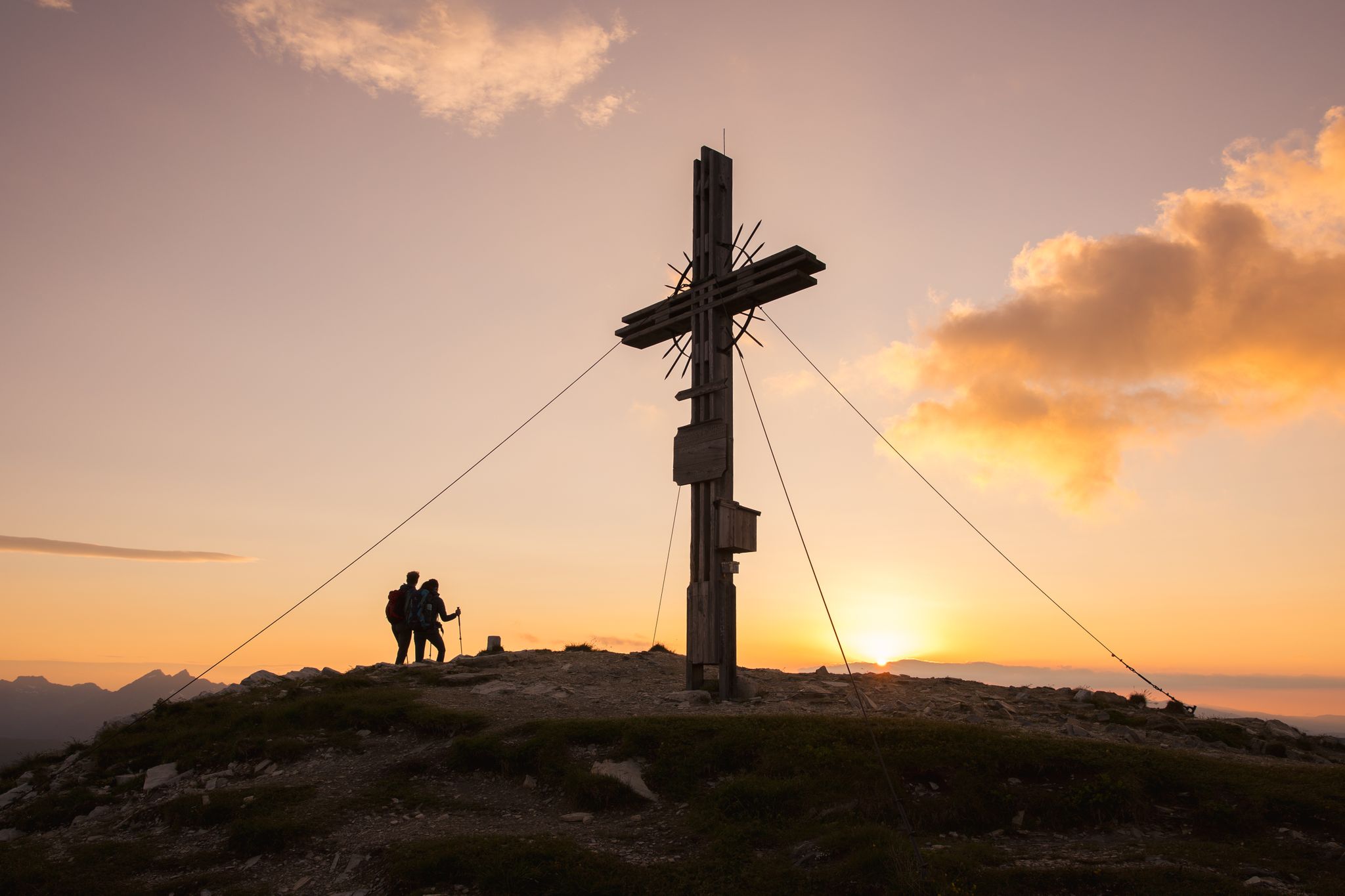
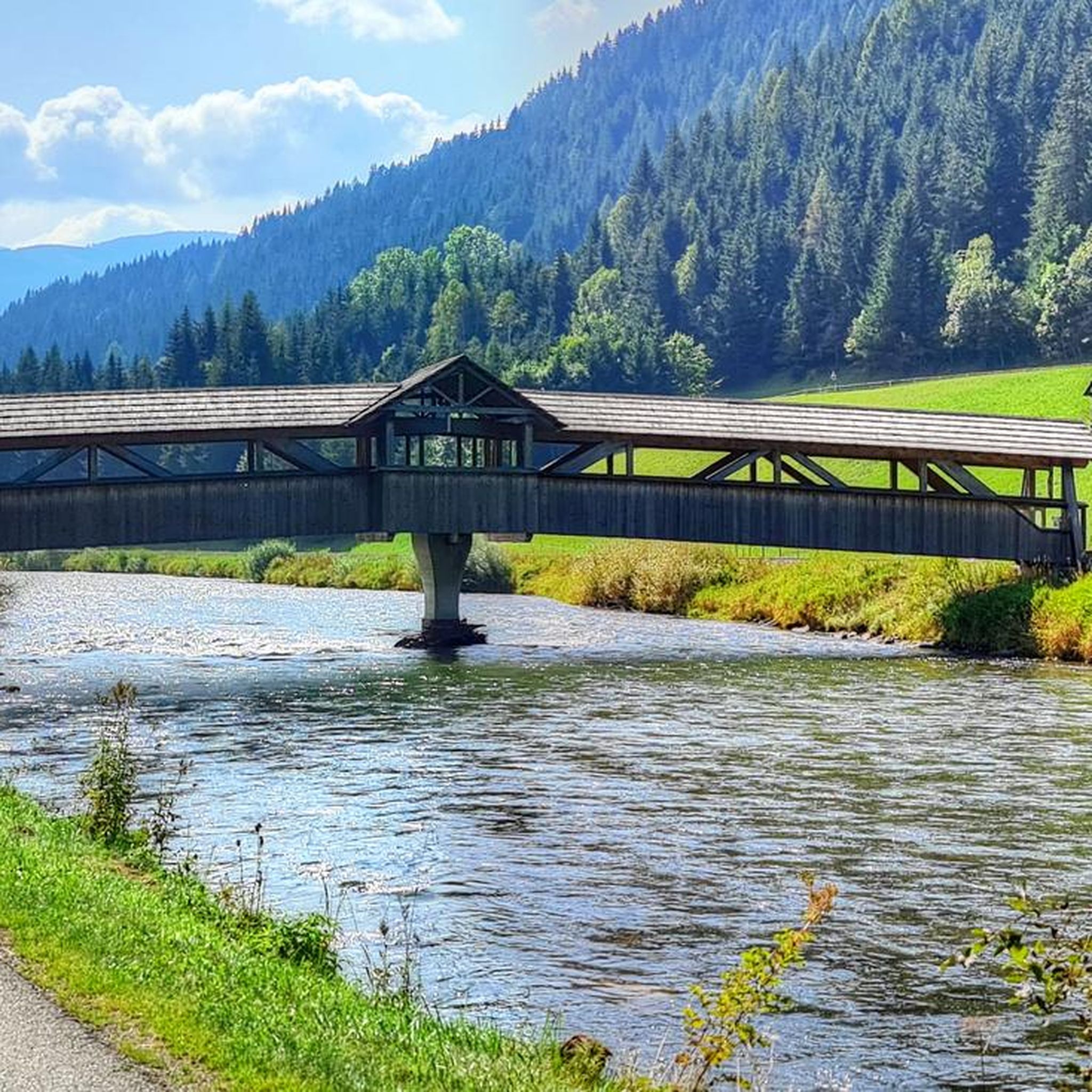
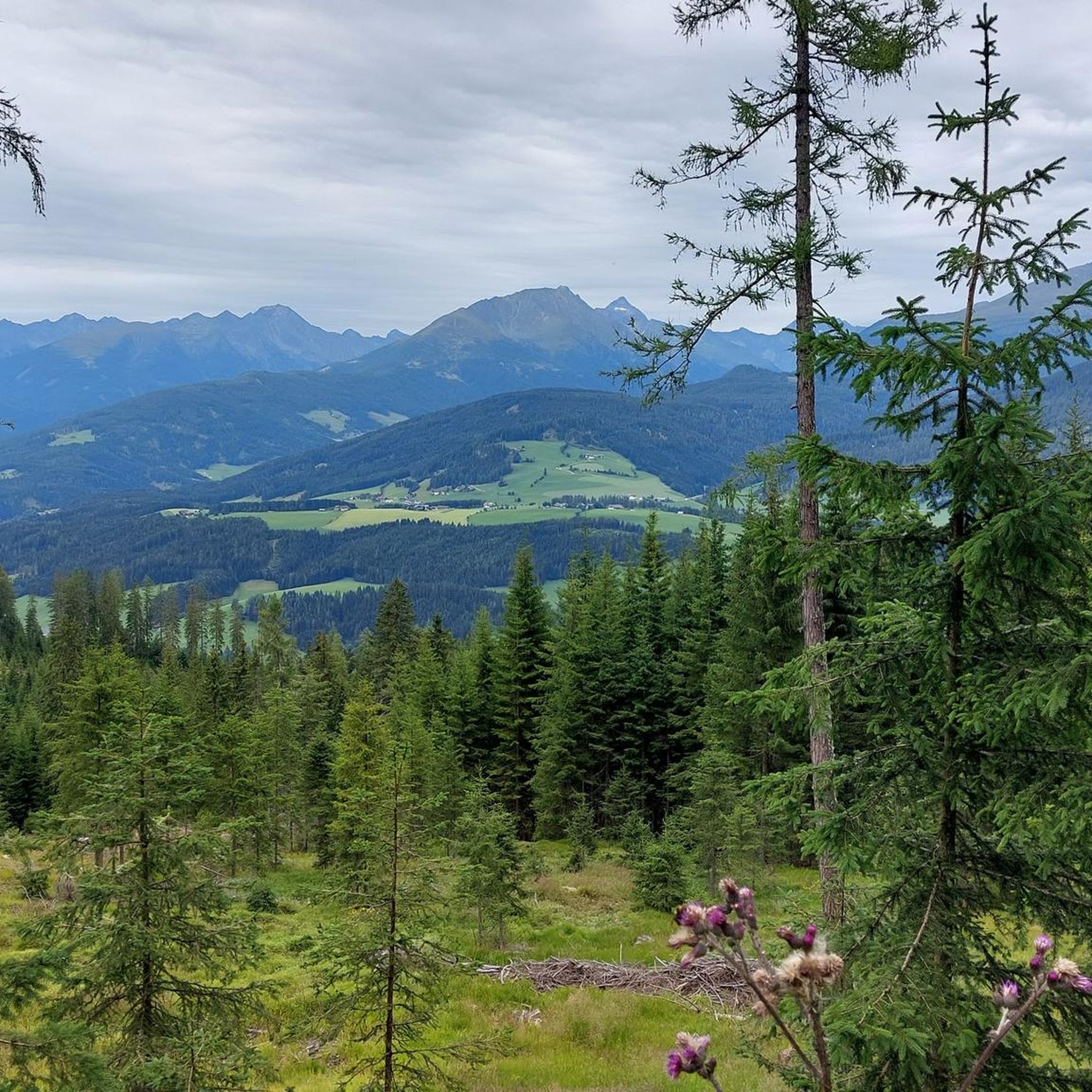
Other adventures in Sauerfelder Wald

Tips from the Community

Very worth seeing, you have to see it
0
0
Very worth seeing, you have to see it
0
0

Many paths lead up from all valleys
0
0

Unfortunately not served in winter. There is still seating available
2
0

The Ludlalm is worth a visit! Open daily from 10 a.m. to 8 p.m., kitchen open until 7 p.m. Playground, toboggan hill, small animals, children won't be bored here. The Ludlalm even has a registry office. Further information at www.ludlalm.de Attention: no WiFi, no mobile data in or around the Ludlalm, no card payments.
1
0

Depending on your condition, it takes about 2 to 3 hours from the parking lot at Prebersee to the summit of the Preber. The ascent is very smooth and safe and easy to manage even for beginners Upstairs has my breathtaking view If you like, you can walk west along the ridge in the direction of Roteck. The path to the junction is not entirely harmless, and sure-footedness and a head for heights are a prerequisite! But it is also doable for inexperienced people with caution. (If you like, you can still go to the Rotec. Unfortunately, the ascent to the Roteck is not marked and is only recommended for experienced hikers). It then goes down into the valley via the Prebertal, a beautiful and easy descent with spectacular views. At the end don't forget to look up again to realize where you were
4
0

I find the very youthful features of the Jesus "child" interesting
1
0
Great atmosphere - good food - nice service
2
0
Frequently Asked Questions
Are there mountaineering routes suitable for beginners in Sauerfelder Wald?
Yes, Sauerfelder Wald offers 9 moderate mountaineering routes, which are suitable for those with some experience looking for less strenuous ascents. For absolute beginners or families, the broader Sauerland region, which encompasses areas like Sauerfelder Wald, has dedicated climbing areas such as the former Scharpenbeul quarry, specifically designed for beginners and families.
Can I find circular mountaineering routes in Sauerfelder Wald?
Absolutely. Many of the mountaineering routes in Sauerfelder Wald are designed as loops, allowing you to start and finish at the same point. For example, the Gstoder – Burgruine Klausegg loop from Klause Seetal is a popular difficult option, or the Gstoder Summit loop from Jogaushütte offers a moderate circular ascent.
What is the typical duration for mountaineering routes in Sauerfelder Wald?
The duration of mountaineering routes in Sauerfelder Wald varies significantly based on difficulty and length. Moderate routes, like the Gstoder Summit loop from Jogaushütte, can take around 2 hours. More challenging routes, such as the Preber Halter Hut – Preber Summit loop from Prebersattel, can require up to 6 hours or more to complete.
Are there any notable landmarks or viewpoints along the mountaineering trails?
While the mountaineering routes themselves offer rewarding summit views, the broader Sauerland region is known for its panoramic vistas from peaks like the Kahler Asten and Langenberg. Within Sauerfelder Wald's vicinity, you can explore natural features like the Madling Gorge, which provides a different kind of scenic experience.
What do other mountaineers enjoy the most about mountaineering in Sauerfelder Wald?
The area is highly rated by the komoot community, with an average score of 4.8 stars from over 19 reviews. Reviewers often praise the diverse terrain, challenging summit ascents, and the rewarding views from the peaks. The mix of forested areas and exposed mountain paths provides a true mountaineering experience.
Is Sauerfelder Wald suitable for family-friendly mountaineering?
While Sauerfelder Wald offers 9 moderate routes, true mountaineering can be demanding. For families with younger children or those seeking less strenuous options, the broader Sauerland region provides forest climbing parks like Kletterwald Winterberg and Wald-Abenteuer Velbert-Langenberg, which offer various climbing courses suitable for different age groups and skill levels.
Can I bring my dog on the mountaineering routes in Sauerfelder Wald?
Many trails in the Sauerland region are dog-friendly, but it's always best to check specific route regulations and local signage. Given the challenging nature of some mountaineering routes in Sauerfelder Wald, ensure your dog is fit for significant elevation changes and varied terrain. Always keep your dog on a leash and be mindful of wildlife and other hikers.
What is the best time of year for mountaineering in Sauerfelder Wald?
The best time for mountaineering in Sauerfelder Wald is typically during the warmer months, from late spring to early autumn, when trails are clear of snow and ice, and weather conditions are more stable. Winter mountaineering is possible but requires specialized equipment and experience due to snow, ice, and colder temperatures.
Are there any places to eat or stay near the mountaineering routes?
While specific cafes or accommodations directly on the mountaineering routes in Sauerfelder Wald are limited, the surrounding towns and villages in the broader Sauerland region offer various options for dining and lodging. You'll find traditional guesthouses, restaurants, and cafes to refuel after your adventures.
How many mountaineering routes are available in Sauerfelder Wald?
Sauerfelder Wald features a total of 17 mountaineering routes. These include 9 moderate and 8 difficult options, providing a good range of challenges for different skill levels.
Are there any other outdoor activities to enjoy in the Sauerfelder Wald area besides mountaineering?
Yes, while mountaineering is a highlight, the Sauerfelder Wald area and the broader Sauerland region are excellent for other outdoor activities. You can find scenic cycling routes like the Legends and Myths Cycle Path, or explore sections of the Murradweg R2. The region is also popular for general hiking and offers diverse landscapes to explore.
Most popular routes in Sauerfelder Wald
Most popular attractions in Sauerfelder Wald

Get inspired with the komoot mobile app


Explore more
Browse the best Mountain Hikes & Routes in other regions.
