The best mountain hikes in Mitterberg
4.7
(358)
2,749
hikers
74
hikes
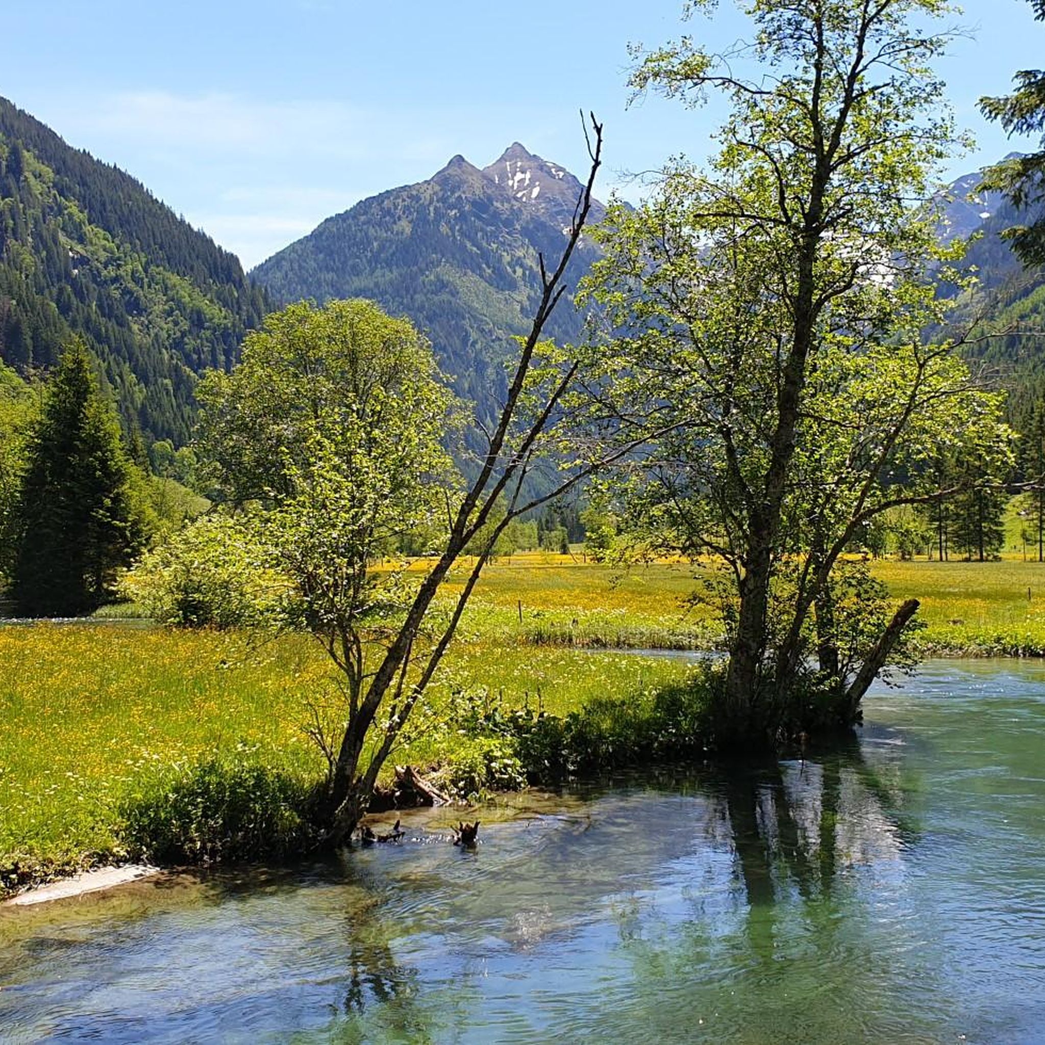
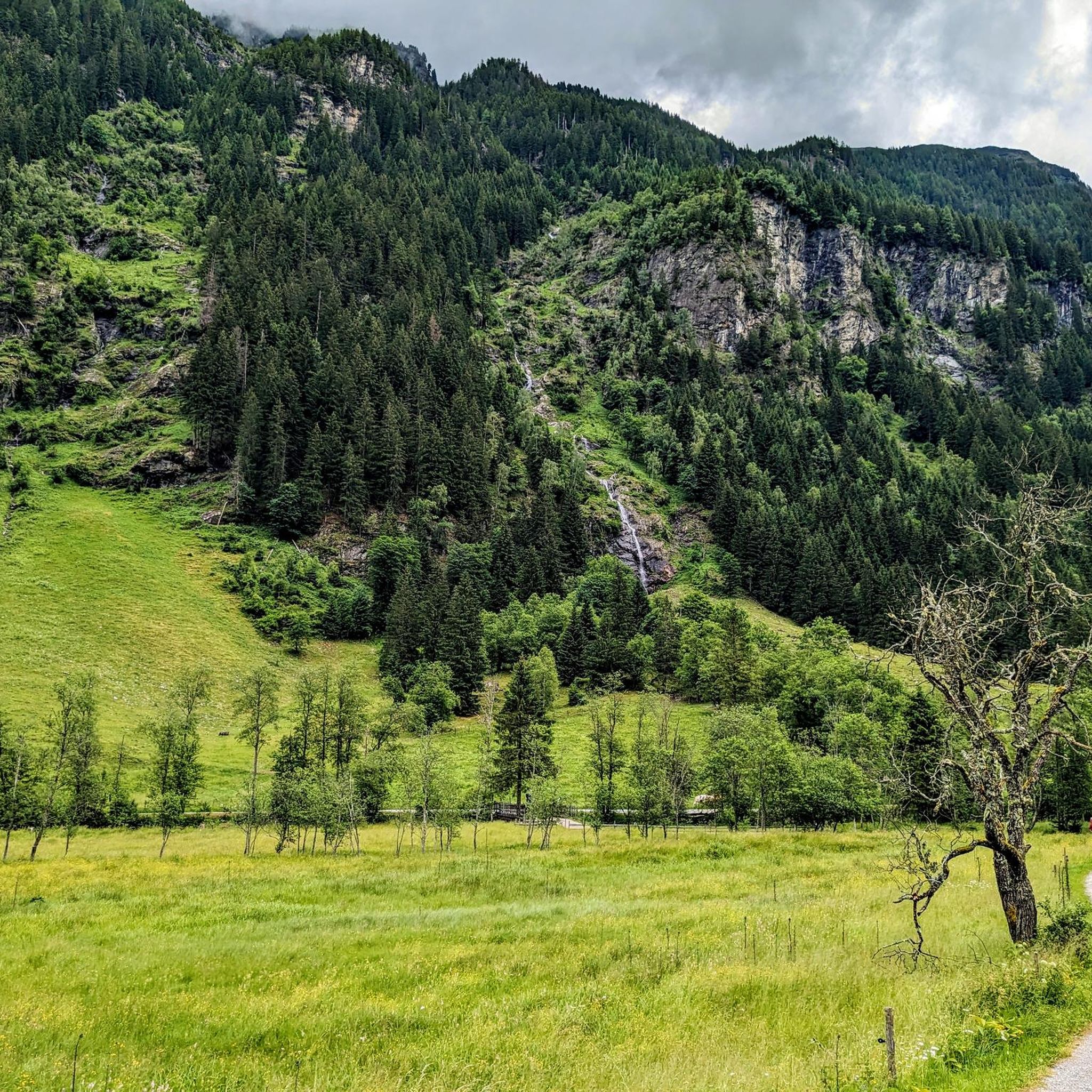
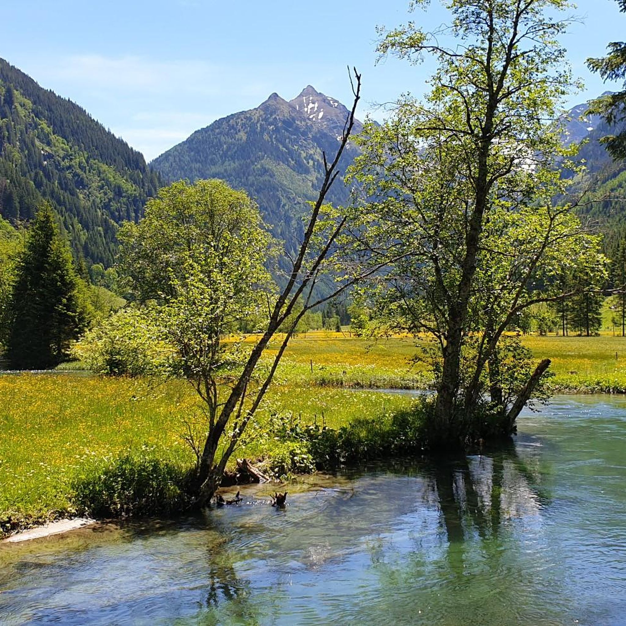
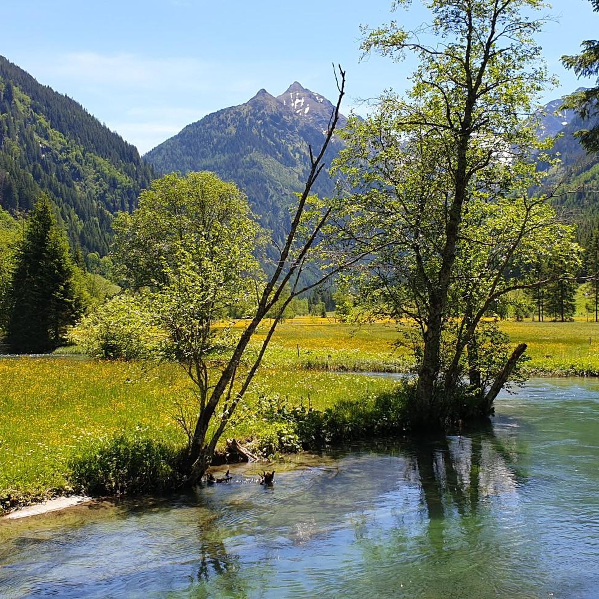
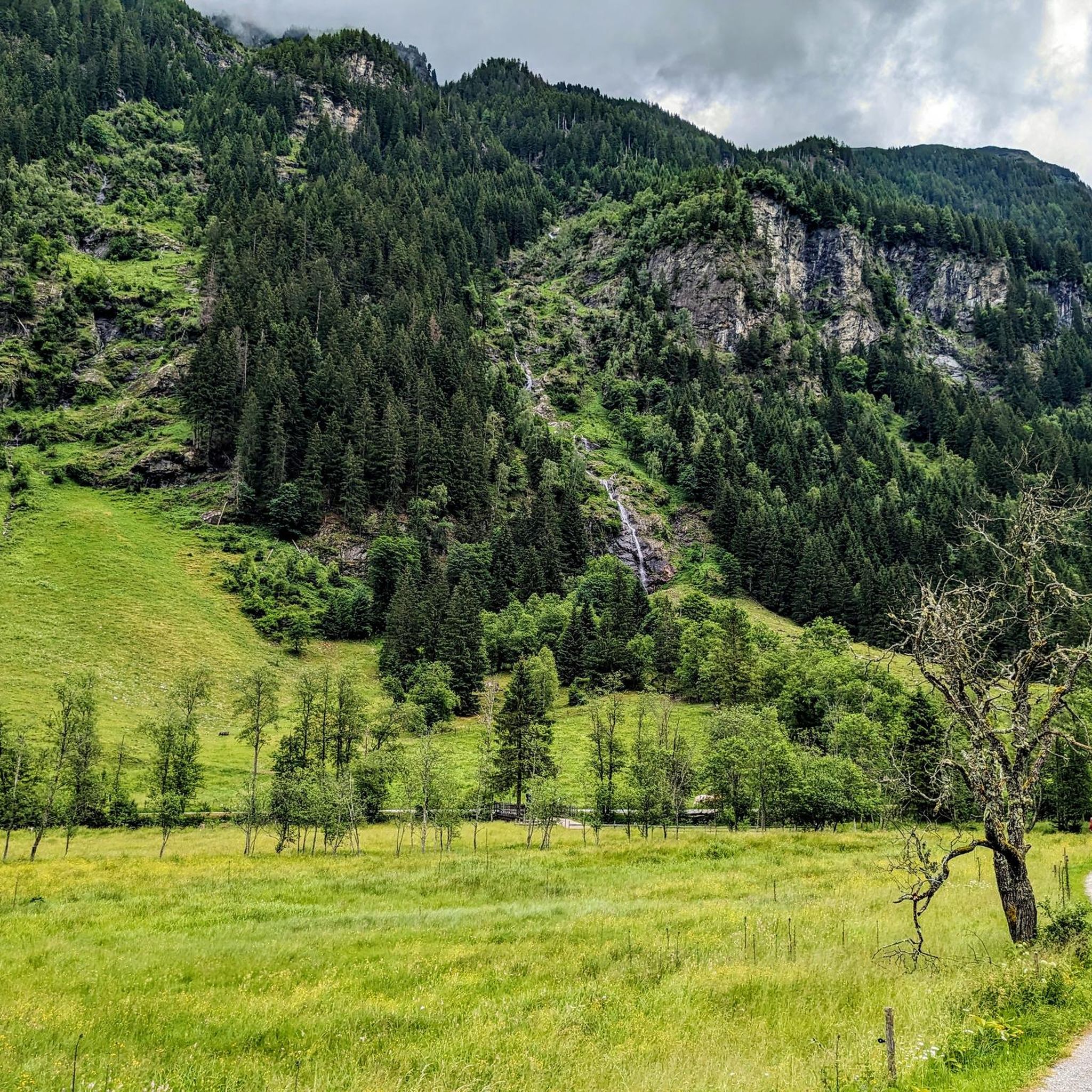
Mountaineering in Mitterberg offers a diverse landscape characterized by alpine lakes, cascading waterfalls, and high mountain pastures. The region features a mix of forested valleys and more open, rugged terrain at higher elevations. Numerous mountain streams and unique moorland areas contribute to the varied environment.
Best mountaineering routes in Mitterberg
- The most popular mountaineering route is Great Riesach Falls – Riesachsee loop from Riesachfall, a 5.4 miles (8.7 km) trail that takes 2 hours 43 minutes to complete. This…
Last updated: June 26, 2026
4.7
(17)
117
hikers
8.71km
02:44
310m
310m
Moderate mountaineering route. Good fitness required. Mostly accessible paths. Sure-footedness required.
4.4
(5)
23
hikers
Moderate mountaineering route. Good fitness required. Mostly accessible paths. Sure-footedness required.

Sign up for free
5.0
(1)
5
hikers
13.5km
03:38
170m
170m
Moderate mountaineering route. Good fitness required. Easily-accessible paths. Suitable for all skill levels.
4.3
(6)
37
hikers
10.9km
04:09
610m
610m
Hard mountaineering route. Good fitness required. Sure-footedness, sturdy shoes and alpine experience required.
4.5
(2)
14
hikers
17.0km
07:32
1,070m
1,070m
Hard mountaineering route. Very good fitness required. Sure-footedness, sturdy shoes and alpine experience required.
Get access to more routes and recommendations from other explorers.
Sign up for free
Already have an account?
Our route recommendations are based on thousands of hikes, rides, and runs completed by other people on komoot.
Start today with a free account
Your next adventure awaits.
Login or Signup

Tips from the Community

Beautiful mountain hut on the shore of the Giglachsee. Especially the location makes this mountain hut a real recommendation! The food at the hut itself as well as the sleeping places leave something to be desired.
0
0

A super hut. It's a wonderful place to spend time.
0
0

Beautiful end of the valley, from here only on foot! The hut is already closed at the end of October
0
0

Great climbing facility with a large suspension bridge directly on and above the water.
3
0

The Riesach Falls are truly impressive waterfalls in the Schladming Tauern, not far from Schladming. The two most famous waterfalls there are the Small and Large Riesach Falls, with the Large one having an impressive drop of around 70 meters. A truly impressive natural spectacle! The falls are part of the "Wild Waters" theme trail and were rightly declared a natural monument in 2012. The entire area is simply breathtaking and is definitely one of the natural treasures of this region. The Riesach Falls consist of the Large and Small Riesach Waterfalls, which are located in the Höllschlucht Gorge. The gorge begins at an altitude of 1079 meters near the Untere Gfölleralm or the Almgasthaus Riesachfall and ends at an altitude of 1338 meters in the area of the Riesachsee or the Obere Gfölleralm. The water for these impressive waterfalls comes from the approximately 7 km long Riesachbach, which joins the Steinriesenbach directly after the gorge and then flows through the entire Untertal as the Untertalbach before finally flowing into the Enns. The falls up to the Grosser Riesachfall are accessible via the Riesachfallsteig. And that's not all! In 2006, the area between the Grosser Riesachwasserfall and the upper end of the gorge was also opened up to tourists. An alpine trail about one kilometer long called "Alpinsteig Höll" or "Alpinsteig durch die Höll" was created there, which offers a 50 meter long suspension bridge as a special attraction. A real adventure! Source: www.familienurlaub-info.com/wandern-mit-kindern/oesterreich/steiermark/riesachfall-riesachsee/
5
0
The Riesach Falls are truly impressive waterfalls in the Schladming Tauern, not far from Schladming. The two most famous waterfalls there are the Small and Large Riesach Falls, with the Large one having an impressive drop of around 70 meters. A truly impressive natural spectacle! The falls are part of the "Wild Waters" theme trail and were rightly declared a natural monument in 2012. The entire area is simply breathtaking and is definitely one of the natural treasures of this region. The Riesach Falls consist of the Large and Small Riesach Waterfalls, which are located in the Höllschlucht Gorge. The gorge begins at an altitude of 1079 meters near the Untere Gfölleralm or the Almgasthaus Riesachfall and ends at an altitude of 1338 meters in the area of the Riesachsee or the Obere Gfölleralm. The water for these impressive waterfalls comes from the approximately 7 km long Riesachbach, which joins the Steinriesenbach directly after the gorge and then flows through the entire Untertal as the Untertalbach before finally flowing into the Enns. The falls up to the Grosser Riesachfall are accessible via the Riesachfallsteig. And that's not all! In 2006, the area between the Grosser Riesachwasserfall and the upper end of the gorge was also opened up to tourists. An alpine trail about one kilometer long called "Alpinsteig Höll" or "Alpinsteig durch die Höll" was created there, which offers a 50 meter long suspension bridge as a special attraction. A real adventure! Source: www.familienurlaub-info.com/wandern-mit-kindern/oesterreich/steiermark/riesachfall-riesachsee/
7
0

Amazing view of the lake
0
0

Beautiful cottage by the lake
0
0
Frequently Asked Questions
How many mountaineering routes are available in Mitterberg?
Mitterberg offers a wide selection of mountaineering routes, with over 70 tours available. These range from moderate to difficult, catering to various skill levels.
Are there any challenging mountaineering routes for experienced climbers in Mitterberg?
Yes, Mitterberg features numerous challenging routes. For experienced mountaineers, the Duisitzkarsee – Lake Giglach loop from Hopfriesen Parkplatz is a difficult 16.6 km trail with significant elevation gain, offering a demanding experience.
What are some moderate mountaineering routes in Mitterberg?
For those seeking moderate challenges, the Gfölleralm – Great Riesach Falls loop from Toteisboden in Rohrmoos-Untertal is a popular choice. This 12.4 km route traverses alpine meadows and provides views of the Great Riesach Falls.
Are there circular mountaineering trails in Mitterberg?
Many routes in Mitterberg are designed as loops. A notable circular trail is the Tettermoor – Wild Water loop from Steilhangmoor im Untertal, which is 13.5 km long and takes you through unique moorland and along wild mountain streams.
Which routes offer the best views or natural attractions like waterfalls and lakes?
The region is known for its alpine lakes and waterfalls. The Great Riesach Falls – Riesachsee loop from Riesachfall is highly recommended for its impressive waterfalls and the scenic Riesachsee alpine lake. Another route, the Duisitzkarsee – Duisitzkarsee loop from Hopfriesen Parkplatz, leads to the beautiful Duisitzkarsee.
What kind of natural landmarks or attractions can I explore near the mountaineering routes?
Mitterberg's routes are often close to significant natural landmarks. You can explore the Untertalbach Wild Waters, the unique Toteisboden in Rohrmoos-Untertal, or the picturesque Talbach. These highlights offer additional points of interest during your mountaineering adventure.
Are there any huts or cafes along the mountaineering routes in Mitterberg?
Yes, you can find places to rest and refuel. The Waldhäuslalm and Sondlalm are examples of huts in the area that can be found along or near various routes, offering refreshments and a chance to experience local alpine hospitality.
When is the best season for mountaineering in Mitterberg?
The best season for mountaineering in Mitterberg is typically from late spring to early autumn (June to September) when the weather is most stable, and trails are clear of snow. Always check local weather forecasts and trail conditions before heading out.
What do other mountaineers enjoy most about Mitterberg?
The area is highly rated by the komoot community, with an average score of 4.7 stars from over 300 reviews. Mountaineers often praise the diverse landscape, including alpine lakes, cascading waterfalls, and high mountain pastures, as well as the well-maintained trails.
Is parking available for mountaineering routes in Mitterberg?
Many popular trailheads in Mitterberg, such as those for routes leading to Duisitzkarsee, offer designated parking areas like the Hopfriesen Parkplatz. It's advisable to check specific route descriptions for detailed parking information.
Are there family-friendly mountaineering options in Mitterberg?
While many routes are moderate to difficult, some sections or shorter loops can be suitable for families with older children who have some hiking experience. The region's diverse landscape with waterfalls and lakes can be very engaging for families. Always check the difficulty and length of a route to ensure it matches your family's capabilities.
Most popular routes in Mitterberg
Most popular attractions in Mitterberg

Get inspired with the komoot mobile app


Explore more
Browse the best Mountain Hikes & Routes in other regions.
