The best mountain hikes in Hinter-Wöltinger-Berg
4.9
(22)
361
hikers
19
hikes
Mountaineering routes in Hinter-Wöltinger-Berg are set within the Lungau region of Austria, characterized by majestic mountain ranges and alpine landscapes. The area features challenging summits, some exceeding 2,700 meters, alongside extensive alpine pastures and evergreen forests. This diverse terrain offers a variety of demanding routes, including sections with technical climbing and scrambling opportunities. The region provides a comprehensive outdoor experience for those seeking high-altitude exploration.
Best mountaineering routes in Hinter-Wöltinger-Berg
- The most popular mountaineering route is Preber Summit – Preber…
Last updated: May 13, 2026
7
hikers
5.72km
02:22
400m
400m
Moderate mountaineering route. Good fitness required. Mostly accessible paths. Sure-footedness required.
78
hikers
11.0km
06:12
1,150m
1,150m
Hard mountaineering route. Very good fitness required. Sure-footedness, sturdy shoes and alpine experience required.

Sign up for free
5.0
(1)
16
hikers
12.3km
06:32
1,160m
1,160m
Hard mountaineering route. Very good fitness required. Sure-footedness, sturdy shoes and alpine experience required.
5.0
(5)
22
hikers
13.8km
06:59
1,190m
1,190m
Hard mountaineering route. Very good fitness required. Sure-footedness, sturdy shoes and alpine experience required.
8
hikers
5.80km
03:39
680m
680m
Moderate mountaineering route. Good fitness required. Mostly accessible paths. Sure-footedness required.
Get access to more routes and recommendations from other explorers.
Sign up for free
Already have an account?
Our route recommendations are based on thousands of hikes, rides, and runs completed by other people on komoot.
Start today with a free account
Your next adventure awaits.
Login or Signup
Popular around Hinter-Wöltinger-Berg
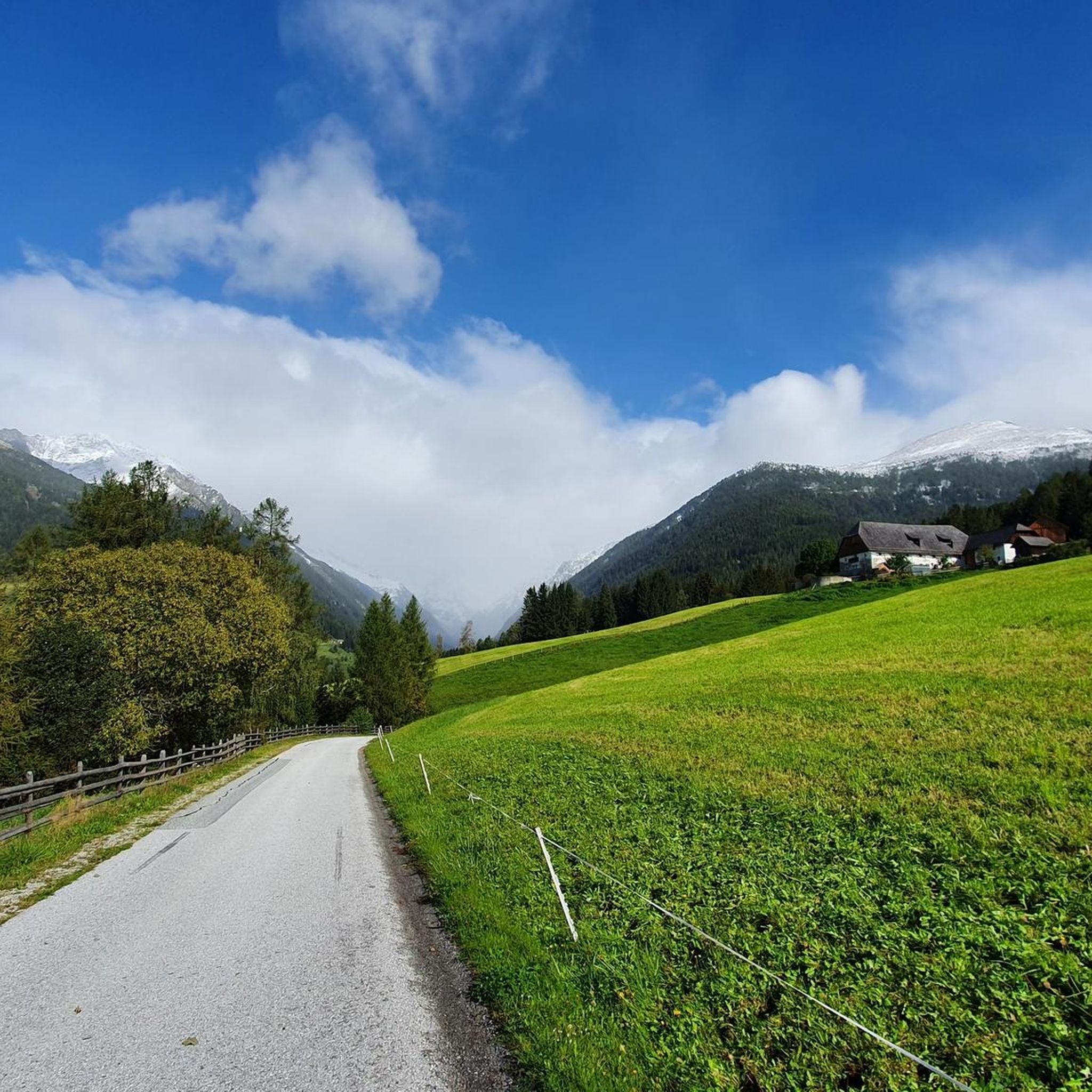
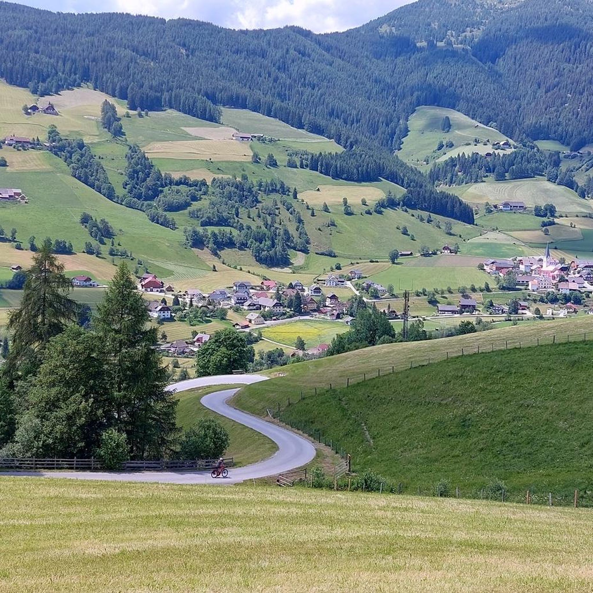
Other adventures in Hinter-Wöltinger-Berg

Tips from the Community

Very worth seeing, you have to see it
0
0
Very worth seeing, you have to see it
0
0

Unfortunately not served in winter. There is still seating available
2
0

The Ludlalm is worth a visit! Open daily from 10 a.m. to 8 p.m., kitchen open until 7 p.m. Playground, toboggan hill, small animals, children won't be bored here. The Ludlalm even has a registry office. Further information at www.ludlalm.de Attention: no WiFi, no mobile data in or around the Ludlalm, no card payments.
1
0

Depending on your condition, it takes about 2 to 3 hours from the parking lot at Prebersee to the summit of the Preber. The ascent is very smooth and safe and easy to manage even for beginners Upstairs has my breathtaking view If you like, you can walk west along the ridge in the direction of Roteck. The path to the junction is not entirely harmless, and sure-footedness and a head for heights are a prerequisite! But it is also doable for inexperienced people with caution. (If you like, you can still go to the Rotec. Unfortunately, the ascent to the Roteck is not marked and is only recommended for experienced hikers). It then goes down into the valley via the Prebertal, a beautiful and easy descent with spectacular views. At the end don't forget to look up again to realize where you were
4
0

I find the very youthful features of the Jesus "child" interesting
1
0
Great atmosphere - good food - nice service
2
0
Serviced in summer, unfortunately closed in winter
15
0
Frequently Asked Questions
How many mountaineering routes are available in Hinter-Wöltinger-Berg?
There are 19 distinct mountaineering routes in Hinter-Wöltinger-Berg, offering a variety of experiences for different skill levels. These routes are set within the majestic mountain ranges of the Lungau region, providing diverse terrain for exploration.
Are there any easy mountaineering routes for beginners or families?
While many routes are moderate to difficult, some options are more accessible. For instance, the Preber Halter Hut loop from Prebersattel is a moderate 3.9-mile (6.2 km) trail through alpine pastures, often completed in about 2 hours. This route offers beautiful views without extreme technical challenges, making it suitable for those seeking a less strenuous experience.
What kind of terrain and challenges can I expect on mountaineering routes in Hinter-Wöltinger-Berg?
The region offers a diverse range of terrain, from extensive alpine pastures to challenging summits. You can expect routes with significant elevation gain, some featuring technical sections, scrambling opportunities, and even 'climbing inserts' or 'chimneys secured with a steel cable' on more advanced ascents. Sure-footedness and a head for heights are often required, especially on routes to peaks like the Preber, Roteck, or Mosermandl.
Are there any circular mountaineering routes in the area?
Yes, several routes are designed as loops, allowing you to start and end at the same point. A popular example is the Preber Halter Hut – Preber Summit loop from Prebersattel, a challenging 6.7-mile (10.8 km) route that takes you to the Preber Summit and back. Another option is the moderate Preber Halter Hut – Grazer Hut loop from Prebersattel, which connects two mountain huts.
What are some of the most challenging mountaineering routes in Hinter-Wöltinger-Berg?
For those seeking advanced challenges, routes to prominent peaks like the Preber (2740 m) offer demanding ascents. The Preber Summit – Preber Halter Hut loop from Prebersattel is a difficult 6.8-mile (11.0 km) trail with over 1,150 meters of elevation gain. Other challenging ascents in the broader Tamsweg area include routes to the Mosermandl Summit and the Roteck (2742 m), which can involve easy, partly exposed climbing sections.
What natural features and viewpoints can I discover along the routes?
The region is rich in natural beauty, featuring majestic mountain ranges, shady evergreen forests, and refreshing alpine pastures. You'll encounter over sixty mountain lakes, offering picturesque scenery. Ascending peaks like the Preber often rewards you with breathtaking panoramic views of the surrounding mountain world, including distant 3,000-meter peaks in the Nockberge mountains and Hohe Tauern National Park.
Are there any mountain huts or places to rest and eat along the trails?
Yes, the region is well-equipped with alpine infrastructure. There are over sixty mountain huts, many of which maintain an authentic, original character. These huts often serve traditional food and drinks, providing excellent opportunities for weary hikers to rest and refuel. For example, the Preber Halter Hut – Grazer Hut loop from Prebersattel specifically connects two such huts.
What is the best time of year for mountaineering in Hinter-Wöltinger-Berg?
The best time for mountaineering in Hinter-Wöltinger-Berg is typically during the warmer months, from late spring to early autumn, when trails are generally free of snow and weather conditions are more stable. However, always check local weather forecasts and trail conditions before heading out, as alpine weather can change rapidly.
Can I bring my dog on the mountaineering routes?
Many trails in the region are dog-friendly, but it's always advisable to check specific route regulations and local guidelines before you go. Ensure your dog is well-behaved, on a leash where required, and capable of handling the terrain and distance. Remember to bring enough water for both yourself and your canine companion.
What do other mountaineers say about the routes in Hinter-Wöltinger-Berg?
The mountaineering routes in Hinter-Wöltinger-Berg are highly rated by the komoot community, with an average score of 4.8 stars from over 20 reviews. Reviewers often praise the challenging summits, diverse alpine terrain, and the rewarding panoramic views. Many appreciate the variety of options available, from moderate ascents to more difficult routes with technical sections.
Are there less crowded mountaineering routes for a quieter experience?
While some routes are popular, the extensive network of trails in the Lungau region offers opportunities to find quieter paths. For example, the route to the Preber via the Mühlbachtörl and its north ridge is often described as a quieter alternative compared to the more frequented southeast ridge. Exploring routes that are not the absolute 'top favourites' can also lead to a more serene experience.
Most popular routes in Hinter-Wöltinger-Berg

Get inspired with the komoot mobile app


Explore more
Browse the best Mountain Hikes & Routes in other regions.
