The best mountain hikes in Huberwald
4.7
(16)
189
hikers
14
hikes
Mountaineering in Huberwald offers challenging routes through a mountainous landscape. The region is characterized by significant elevation changes, with routes often involving steep ascents and descents. These trails are primarily suited for experienced mountaineers, featuring rugged terrain and demanding climbs. The area provides a focused environment for alpine exploration.
Best mountaineering routes in Huberwald
- The most popular mountaineering route is Gstemmerscharte – Wild Descent Trail loop from Donnersbachwald, a 7.9 miles (12.8 km) trail that takes 5 hours 35…
Last updated: July 9, 2026
29
hikers
12.6km
05:33
930m
930m
Hard mountaineering route. Very good fitness required. Sure-footedness, sturdy shoes and alpine experience required.
7
hikers
17.0km
07:15
1,150m
1,150m
Hard mountaineering route. Very good fitness required. Sure-footedness, sturdy shoes and alpine experience required.

Sign up for free
7
hikers
15.4km
05:34
940m
940m
Hard mountaineering route. Very good fitness required. Mostly accessible paths. Sure-footedness required.
5.0
(2)
8
hikers
11.0km
05:16
820m
820m
Hard mountaineering route. Very good fitness required. Sure-footedness, sturdy shoes and alpine experience required.
9
hikers
6.67km
04:32
780m
780m
Hard mountaineering route. Good fitness required. Sure-footedness, sturdy shoes and alpine experience required.
Get access to more routes and recommendations from other explorers.
Sign up for free
Already have an account?
Our route recommendations are based on thousands of hikes, rides, and runs completed by other people on komoot.
Start today with a free account
Your next adventure awaits.
Login or Signup
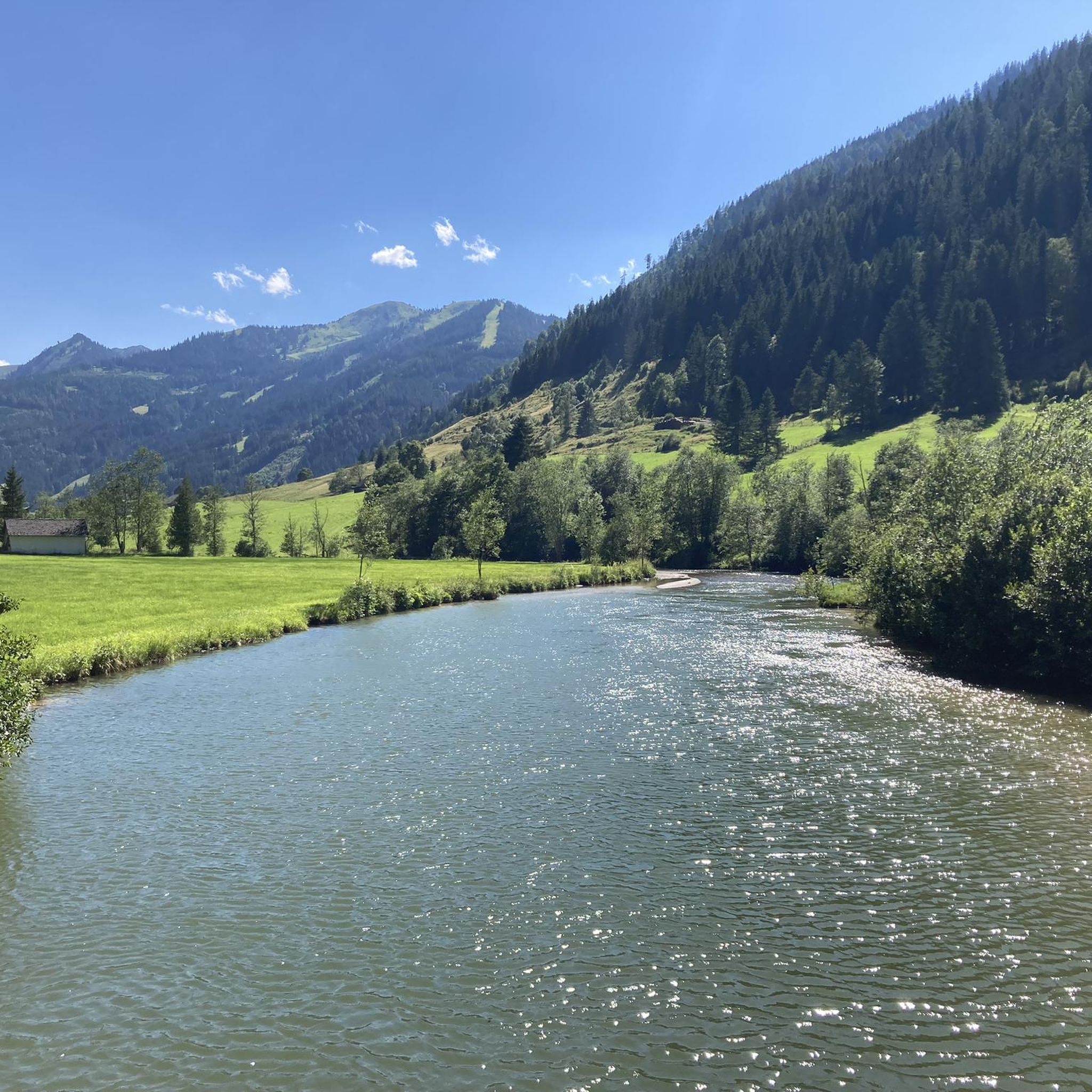
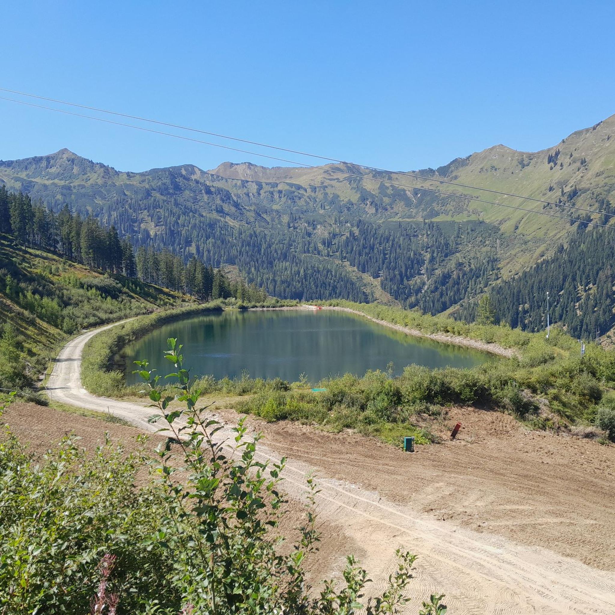
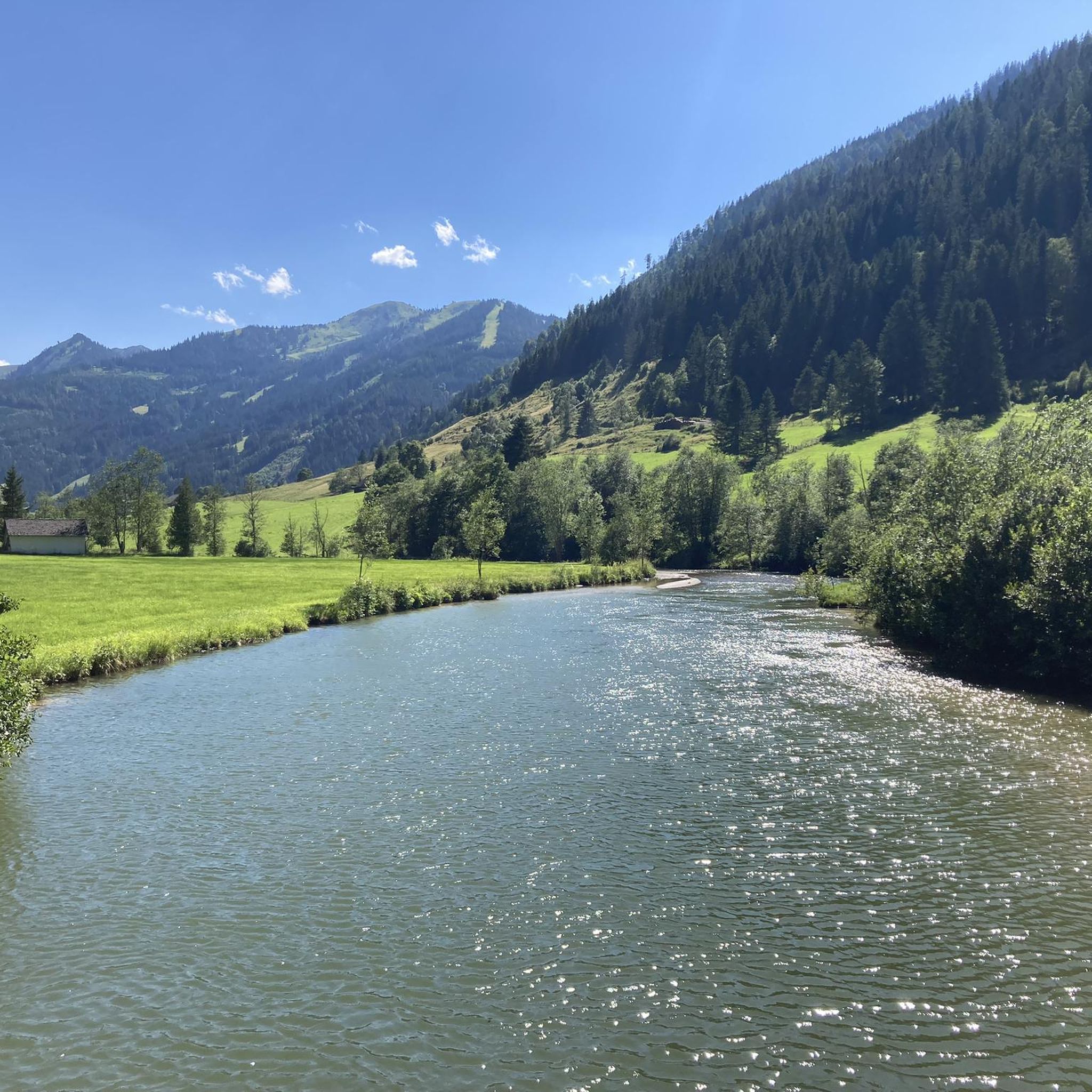
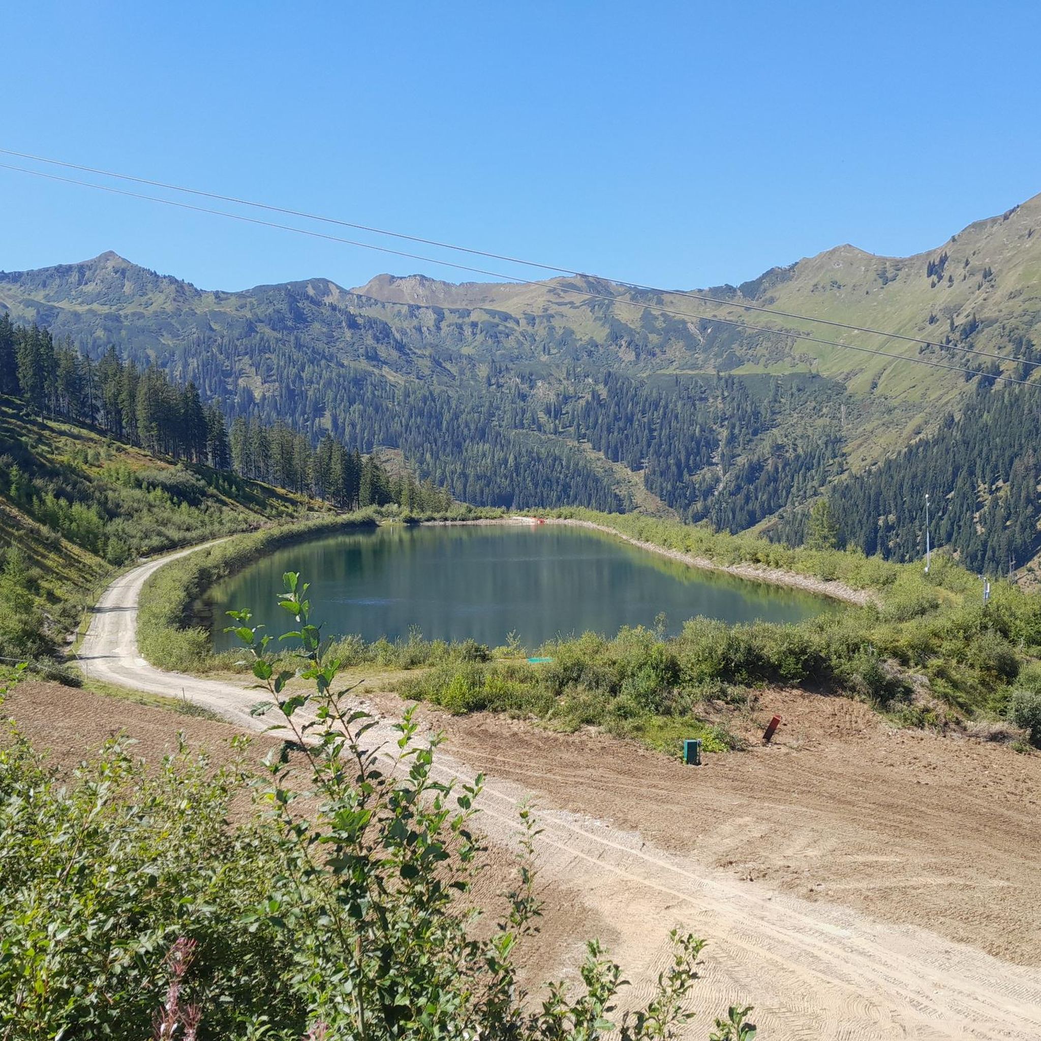
Tips from the Community

also a beautiful ski touring destination in winter
0
0
also a rewarding ski touring destination in winter due to the toboggan run with excellent refreshments
0
0

After a strenuous climb (from Donnersbachwald) you are rewarded with a sensational panoramic view.
2
0
A very charming mountain hut – good food, excellent service. The perfect place for a final refreshment before continuing the climb.
2
0


A very nice alpine hut, but it's called Oxnalm. Upon request, they even prepared Kaiserschmarrn for us, even though it wasn't on the menu.
0
0

The waterfall can be found about 200 meters further uphill...
0
0
Frequently Asked Questions
How many mountaineering routes are available in Huberwald?
Huberwald offers a selection of 14 mountaineering routes. These routes are primarily designed for experienced mountaineers, with a strong emphasis on advanced and challenging trails.
What are the typical difficulty levels for mountaineering routes in Huberwald?
The mountaineering routes in Huberwald are predominantly challenging. Out of the 14 available routes, 10 are classified as difficult, and 4 are moderate. There are no easy routes listed, indicating the area is best suited for those with prior mountaineering experience.
Are there any routes suitable for beginners or families in Huberwald?
Given that all routes in Huberwald are classified as either moderate or difficult, the area is not typically recommended for beginners or families seeking easy trails. The terrain involves significant elevation changes and rugged paths, requiring a good level of fitness and experience.
Can I find circular mountaineering routes in Huberwald?
Yes, many of the mountaineering routes in Huberwald are designed as loops. For example, you can explore the Gstemmerscharte – Wild Descent Trail loop from Donnersbachwald or the Gstemmerscharte loop from Donnersbachwald, both offering demanding ascents and panoramic views.
What is the typical duration for mountaineering routes in Huberwald?
The duration for mountaineering routes in Huberwald varies depending on the specific trail and your pace. For instance, the Gstemmerscharte – Wild Descent Trail loop typically takes around 5 hours 35 minutes, while the Gstemmerscharte loop can take approximately 7 hours 10 minutes. Shorter, though still difficult, options like the Mölbegg Summit Cross loop might take around 4 hours 30 minutes.
Are there any routes with notable viewpoints or scenic spots in Huberwald?
Many routes in Huberwald offer rewarding panoramic views due to the significant elevation gains. The Gstemmerscharte loop from Donnersbachwald is specifically highlighted for its demanding ascent with panoramic views of the surrounding mountains. The Mölbegg Summit Cross loop also suggests a scenic summit destination.
What do other mountaineers say about the routes in Huberwald?
The mountaineering routes in Huberwald are highly regarded by the komoot community, holding an average rating of 4.8 stars from over 18 reviews. More than 250 mountaineers have explored the varied and challenging terrain, often praising the demanding climbs and alpine exploration opportunities.
Is parking available near the mountaineering routes in Huberwald?
While specific parking locations are not detailed for each route, mountaineering areas typically have designated parking facilities at trailheads or nearby villages. Routes often start from locations like Donnersbachwald or Berghof, where parking options are generally available for outdoor enthusiasts.
What is the best time of year for mountaineering in Huberwald?
Given the mountainous terrain and significant elevation, the best time for mountaineering in Huberwald is typically during the late spring, summer, and early autumn months (roughly June to September). During these periods, trails are generally free of snow, and weather conditions are more stable. Always check local weather forecasts and trail conditions before heading out.
Are dogs allowed on the mountaineering trails in Huberwald?
Specific regulations regarding dogs on trails in Huberwald are not provided. However, in many alpine regions, dogs are permitted but must be kept on a leash, especially in areas with livestock or wildlife. It's always advisable to check local signage or official regional guidelines before bringing your dog.
Are there any facilities like cafes or huts along the routes in Huberwald?
One route, the Steep Ascent to Hochsitzhütte loop from Donnersbachwald, explicitly mentions 'Hochsitzhütte' in its name, suggesting the presence of a mountain hut. While not all routes may have facilities directly on them, starting points like Donnersbachwald likely offer amenities such as cafes or restaurants.
How much elevation gain can I expect on these mountaineering routes?
Mountaineering in Huberwald is characterized by significant elevation changes. Routes typically involve substantial ascents. For example, the Gstemmerscharte loop features over 1145 meters (3756 ft) of elevation gain, and the Gstemmerscharte – Wild Descent Trail loop includes over 925 meters (3034 ft) of ascent.
What kind of terrain should I expect on Huberwald's mountaineering routes?
The terrain in Huberwald is rugged and varied, typical of alpine environments. You can expect steep ascents and descents, often through alpine forests and open slopes. The routes are defined by challenging alpine terrain, mountain passes, and significant elevation changes, making them suitable for experienced mountaineers.
Most popular routes in Huberwald

Get inspired with the komoot mobile app


Explore more
Browse the best Mountain Hikes & Routes in other regions.
