The best mountain hikes in Hirschriedel
4.8
(82)
1,819
hikers
44
hikes
Mountaineering in Hirschriedel features routes that ascend prominent peaks such as Angerkogel (2,114 m) and Nazogl (2,057 m), indicating a high-alpine or sub-alpine environment. The region offers more than 50 mountaineering routes, predominantly categorized as difficult, with a few moderate and easy options available. These routes often involve significant elevation gain, leading to panoramic views from the summits.
Best mountaineering routes in Hirschriedel
- The most popular mountaineering route is Angerkogel Summit (2,114 m) – Albl Hunting Lodge 1710 m loop…
Last updated: May 20, 2026
41
hikers
17.7km
07:19
1,170m
1,170m
Hard mountaineering route. Very good fitness required. Mostly accessible paths. Sure-footedness required.
5.0
(2)
21
hikers
11.0km
05:48
1,020m
1,020m
Hard mountaineering route. Very good fitness required. Sure-footedness, sturdy shoes and alpine experience required.

Sign up for free
12
hikers
13.6km
04:59
790m
790m
Moderate mountaineering route. Good fitness required. Mostly accessible paths. Sure-footedness required.
9
hikers
16.4km
07:43
1,110m
1,110m
Hard mountaineering route. Very good fitness required. Sure-footedness, sturdy shoes and alpine experience required.
12
hikers
14.9km
05:21
820m
820m
Hard mountaineering route. Very good fitness required. Mostly accessible paths. Sure-footedness required.
Get access to more routes and recommendations from other explorers.
Sign up for free
Already have an account?
Our route recommendations are based on thousands of hikes, rides, and runs completed by other people on komoot.
Start today with a free account
Your next adventure awaits.
Login or Signup
Tips from the Community

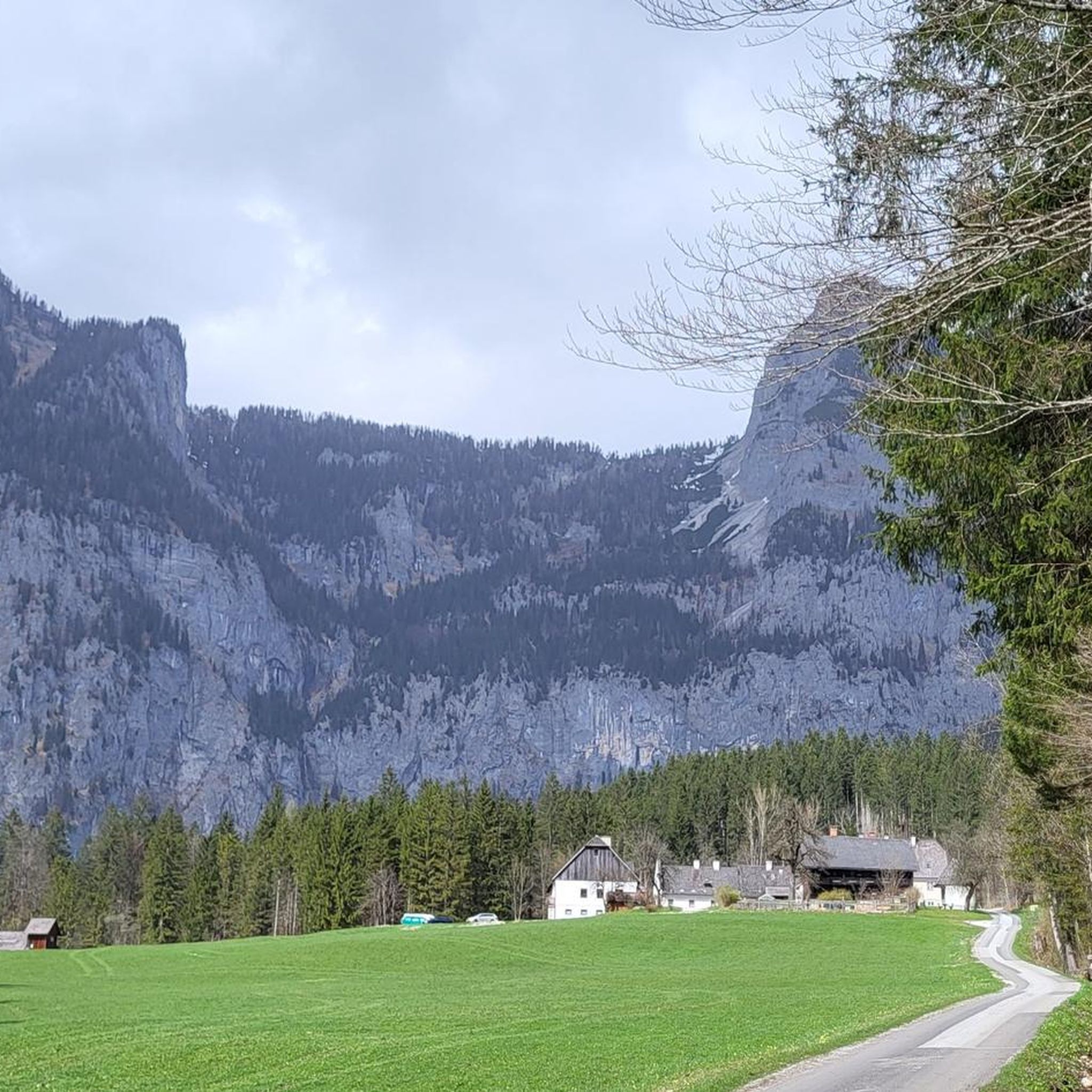
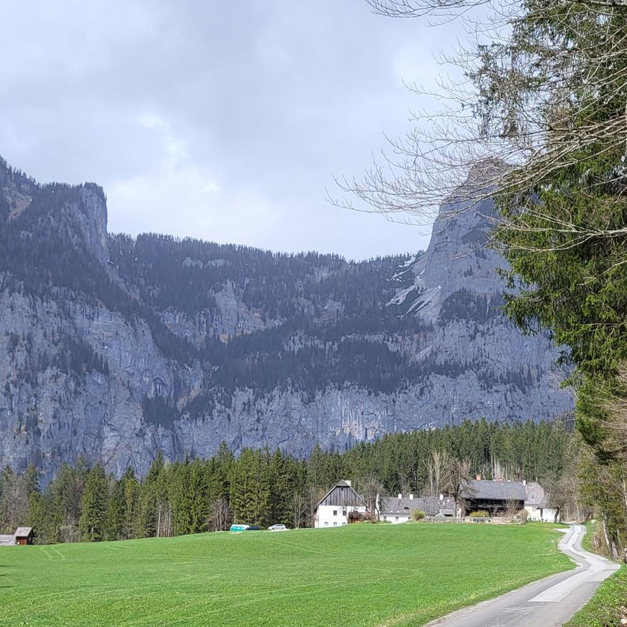
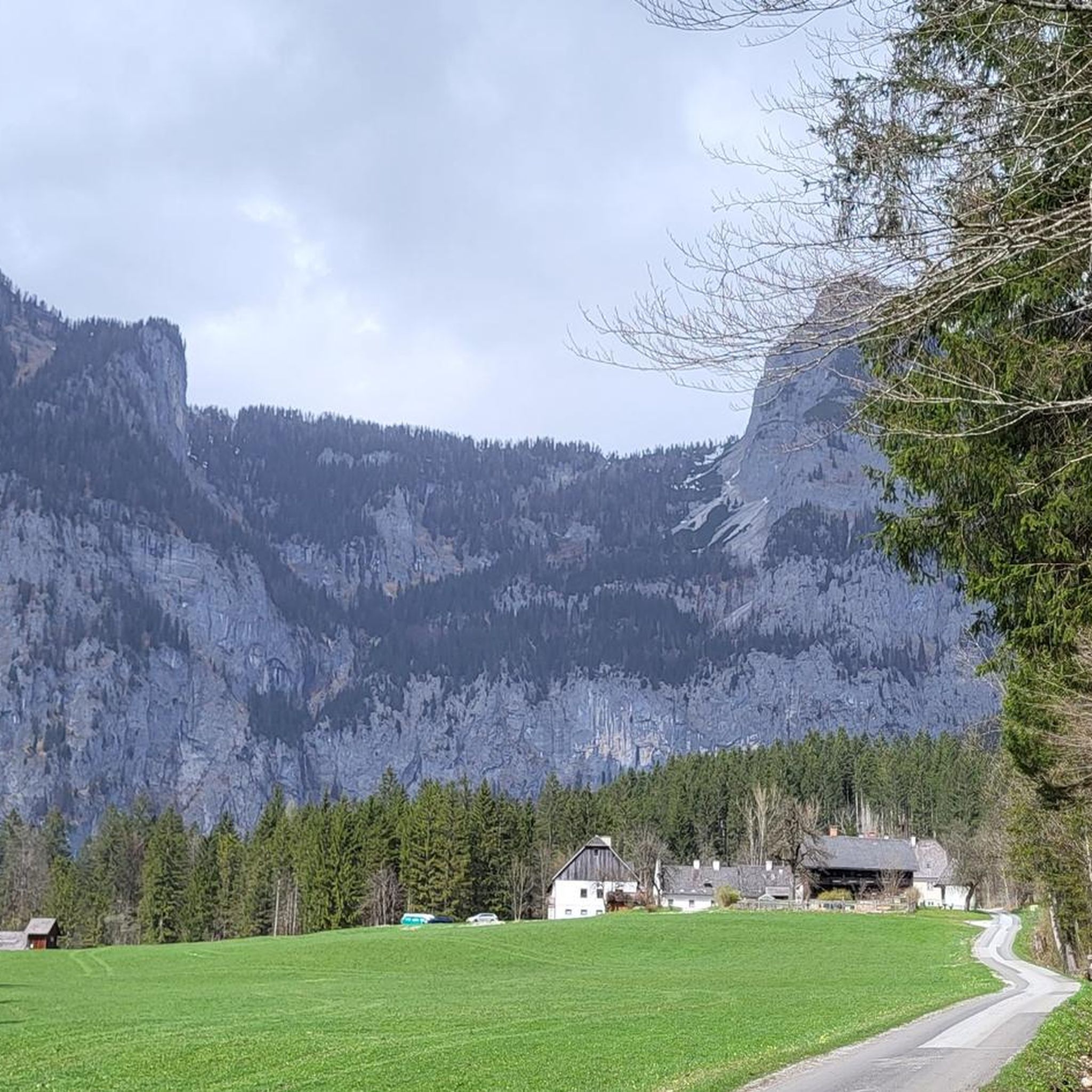
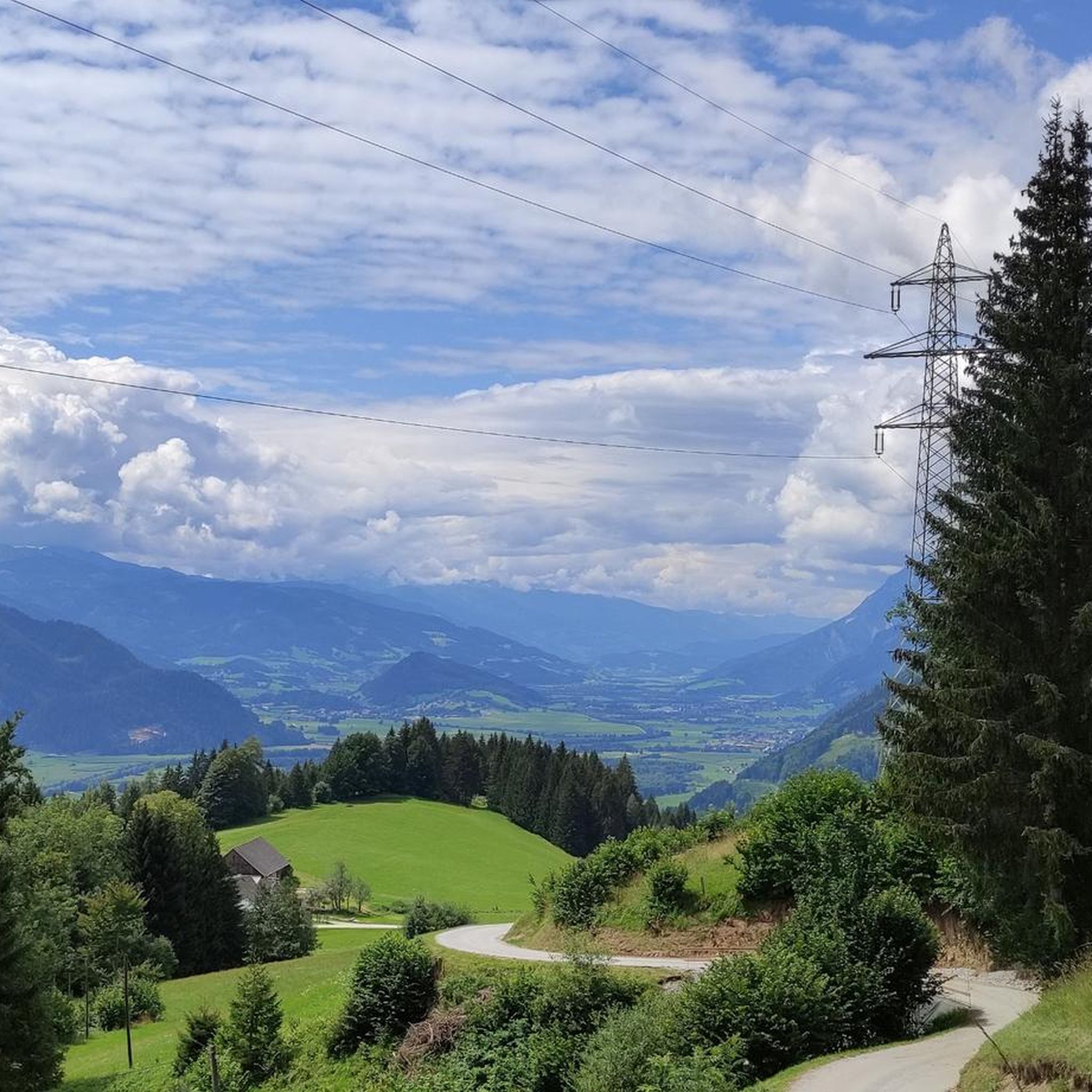
You can reach the beautifully situated alpine pasture via the mountain road from Liezen. Enjoy the view of the Grimming and Hochtauning. You can stop off at the snack bar. From here you have the option of hiking to the Nazogl including Angerkogel and Kossenspitz. The circular hike via the Angeralm and Albl hunting lodge is highly recommended.
1
2
Partly involving rock climbing, you reach the summit of the Nazogl and are rewarded with a magnificent view. From here, you reach the next summit, Angerkogel, in a few meters of altitude. The detour to the Kossenspitz with its great view is also really worthwhile. I highly recommend the hike at the end of October when the larches are changing color intensively - a dream.
0
0

An Alm suitable for every fitness level.
0
0

unmarked path (rarely Steinmanderl) nice climbing in II difficulty level (depending on the choice of route also more difficult)
0
0

Hut summit from the Linzer Haus, which can also be done with a little caution at the summit when it rains.
0
0
You can reach the summit via the path branching off below the Nazogel summit or with a circular route from Nazogel - Angerkogel - Kossenspitz.
1
0
From here you have a magnificent view of the Warscheneck and Hochmölbing.
1
0
Partly connected with scrambling, you reach the summit of the Nazogl and are rewarded with a magnificent view. From here you can reach the Angerkogel or Kossenspitz in a short time. You can hike back the same way or hike a circular route via the Angeralm and Albl Jagdhütte to the Hinteregger Alm.
1
0
Frequently Asked Questions
How many mountaineering routes are available in Hirschriedel?
Hirschriedel offers over 50 mountaineering routes. The majority are classified as difficult, with a good selection of moderate options and a few easier trails also available.
Are there any easy mountaineering routes for beginners in Hirschriedel?
While Hirschriedel is known for its challenging high-alpine terrain, there are a couple of easier mountaineering routes available. These are suitable for those new to the sport or looking for a less strenuous ascent.
What are the most challenging mountaineering routes in Hirschriedel?
Many routes in Hirschriedel are considered difficult, often involving significant elevation gain and high-mountain scenery. For example, the Angerkogel Summit (2,114 m) – Albl Hunting Lodge 1710 m loop from Pyhrnpass is a challenging 10.9-mile route that takes over 7 hours to complete.
Are there any circular mountaineering routes in Hirschriedel?
Yes, Hirschriedel features several excellent circular routes. A notable one is the Nazogl Summit (2,057 m) – Angerkogel Summit (2,114 m) loop from Panorama- und Wanderkarte, Hinteregger Alm, which offers continuous high-mountain scenery as you traverse between two major summits.
What is the typical duration for mountaineering routes in Hirschriedel?
The duration varies significantly depending on the route's difficulty and length. Challenging routes like the Nazogl Summit (2,057 m) – Angerkogel Summit (2,114 m) loop from Pyhrnpass can take around 7 hours and 28 minutes, while shorter routes might be completed in less time.
What kind of terrain can I expect on Hirschriedel's mountaineering routes?
Mountaineering in Hirschriedel is characterized by challenging summit ascents, alpine loops, and significant elevation changes. You can expect to encounter high-alpine or sub-alpine environments, leading to panoramic views from the peaks like Angerkogel (2,114 m) and Nazogl (2,057 m).
What do other mountaineers enjoy most about Hirschriedel?
The area is highly rated by the komoot community, with an average score of 4.8 stars from over 80 reviews. Mountaineers often praise the extensive views across the alpine landscape and the challenging nature of the summit ascents.
Are there any routes that visit multiple summits?
Yes, some routes are designed to connect multiple prominent peaks. For instance, the Angerkogel Summit (2,114 m) – Nazogl Summit (2,057 m) loop from Panorama- und Wanderkarte, Hinteregger Alm allows you to experience two major summits in one challenging tour.
Is there a mountaineering route that starts from Pyhrnpass?
Yes, Pyhrnpass serves as a starting point for several mountaineering adventures. One such route is the Wurzer Kampl Summit (1,706 m) loop from Pyhrnpass, offering a challenging ascent with significant elevation gain.
What are the highest peaks accessible via mountaineering routes in Hirschriedel?
The highest peaks accessible through mountaineering routes in Hirschriedel include Angerkogel at 2,114 meters and Nazogl at 2,057 meters. Many routes lead to or traverse these prominent summits.
How many people have explored Hirschriedel's mountaineering routes using komoot?
Over 2,000 mountaineers have used komoot to explore Hirschriedel's varied terrain, indicating its popularity among the outdoor community.
Most popular routes in Hirschriedel

Get inspired with the komoot mobile app


Explore more
Browse the best Mountain Hikes & Routes in other regions.
