The best mountain hikes in Steirer Wald
4.8
(93)
1,453
hikers
35
hikes
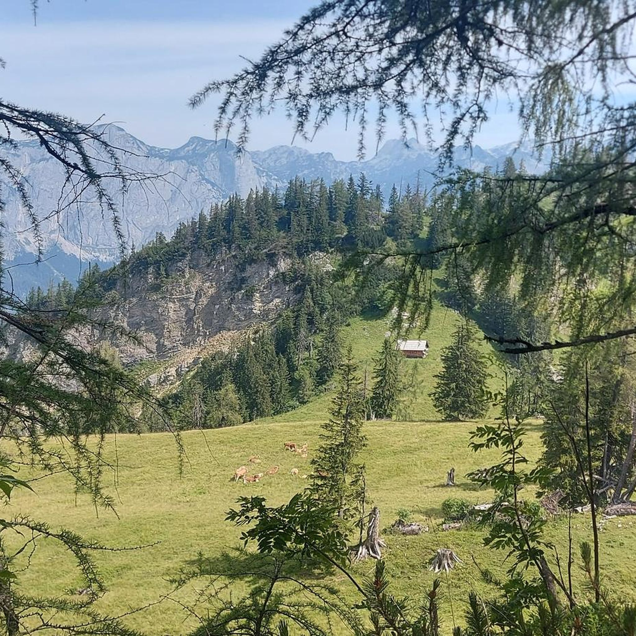
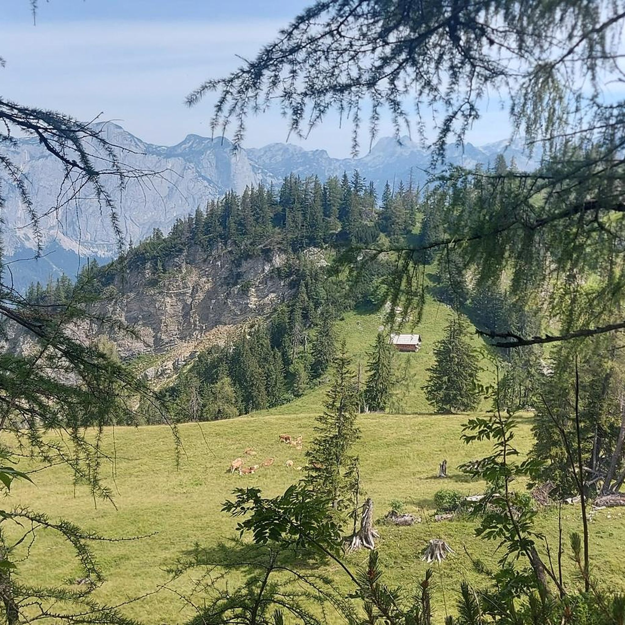
Mountaineering routes in Steirer Wald traverse a diverse landscape, often referred to as the "Green Heart of Austria" due to its extensive forests. The region features alpine peaks, glaciers, and dramatic rock faces, particularly within areas like Gesäuse National Park and the Hochschwab region. Its terrain ranges from high-alpine environments with summits exceeding 2,300 meters to rolling hills and valleys, providing varied challenges for mountaineers. This natural diversity includes wild forests, impressive rock formations, and the Enns River, offering a…
Last updated: July 5, 2026
5.0
(3)
53
hikers
14.8km
06:36
1,020m
1,020m
Hard mountaineering route. Very good fitness required. Sure-footedness, sturdy shoes and alpine experience required.
4
hikers
15.2km
04:10
220m
220m
Moderate mountaineering route. Good fitness required. Mostly accessible paths. Sure-footedness required.

Sign up for free
4.7
(3)
33
hikers
16.0km
06:58
1,050m
1,050m
Hard mountaineering route. Very good fitness required. Sure-footedness, sturdy shoes and alpine experience required.
5.0
(2)
13
hikers
10.00km
05:04
800m
800m
Hard mountaineering route. Very good fitness required. Mostly accessible paths. Sure-footedness required.
5.0
(1)
6
hikers
9.46km
04:09
520m
520m
Hard mountaineering route. Good fitness required. Sure-footedness, sturdy shoes and alpine experience required.
Get access to more routes and recommendations from other explorers.
Sign up for free
Already have an account?
Our route recommendations are based on thousands of hikes, rides, and runs completed by other people on komoot.
Start today with a free account
Your next adventure awaits.
Login or Signup
Tips from the Community

nice, but completely overcrowded
0
0
beautiful, but completely overcrowded
0
0

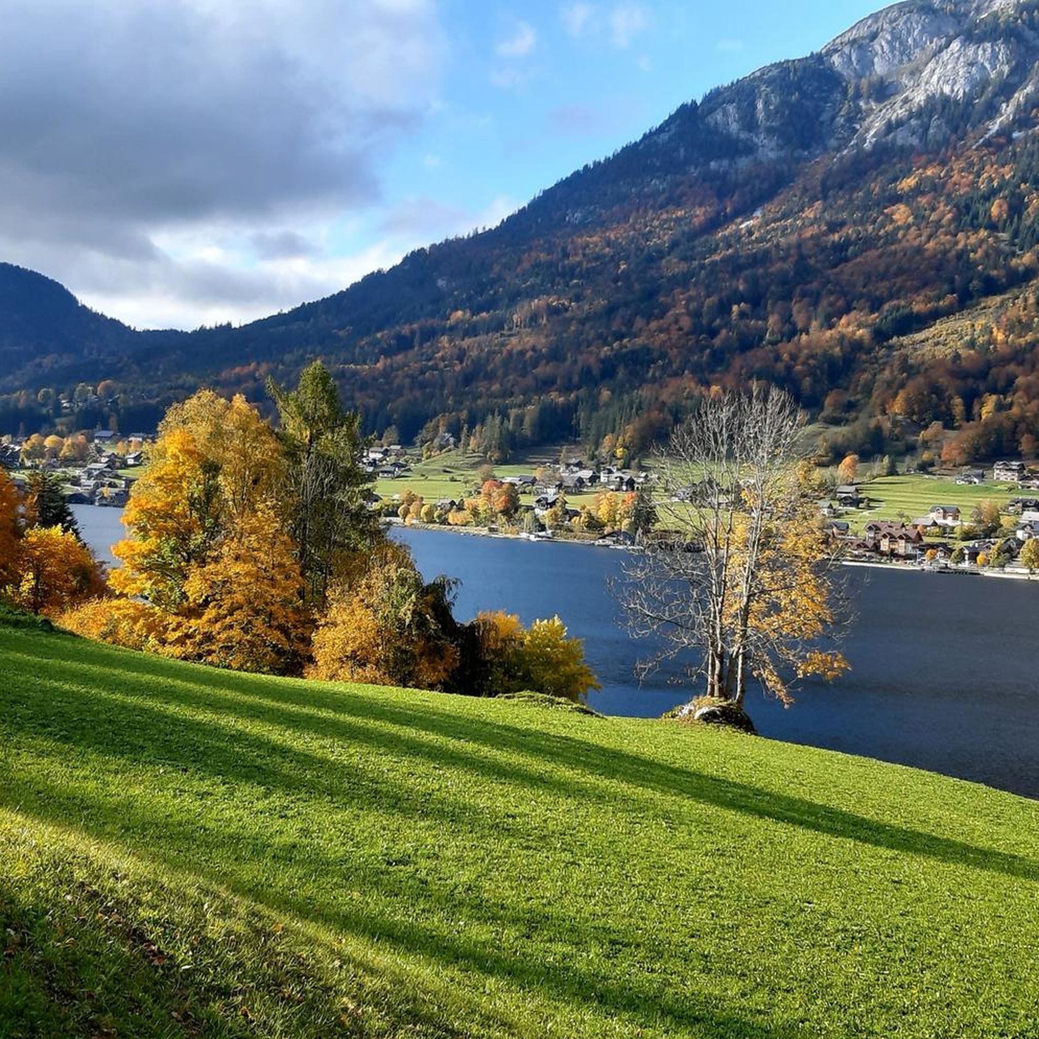
A wonderful hiking area with very beautiful views.
1
0

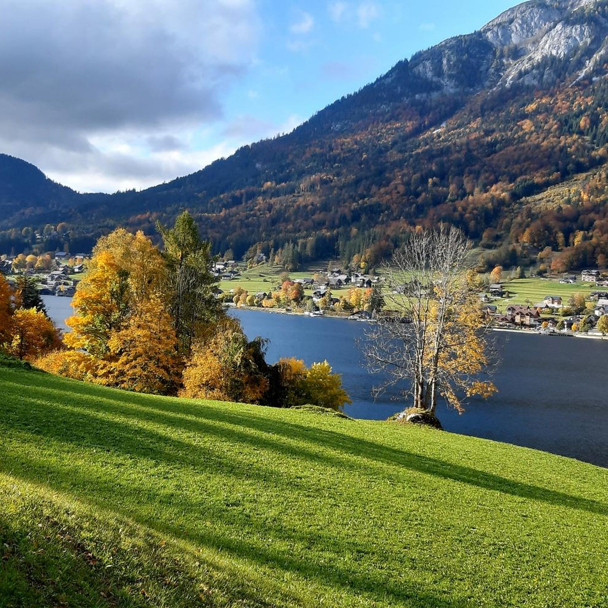
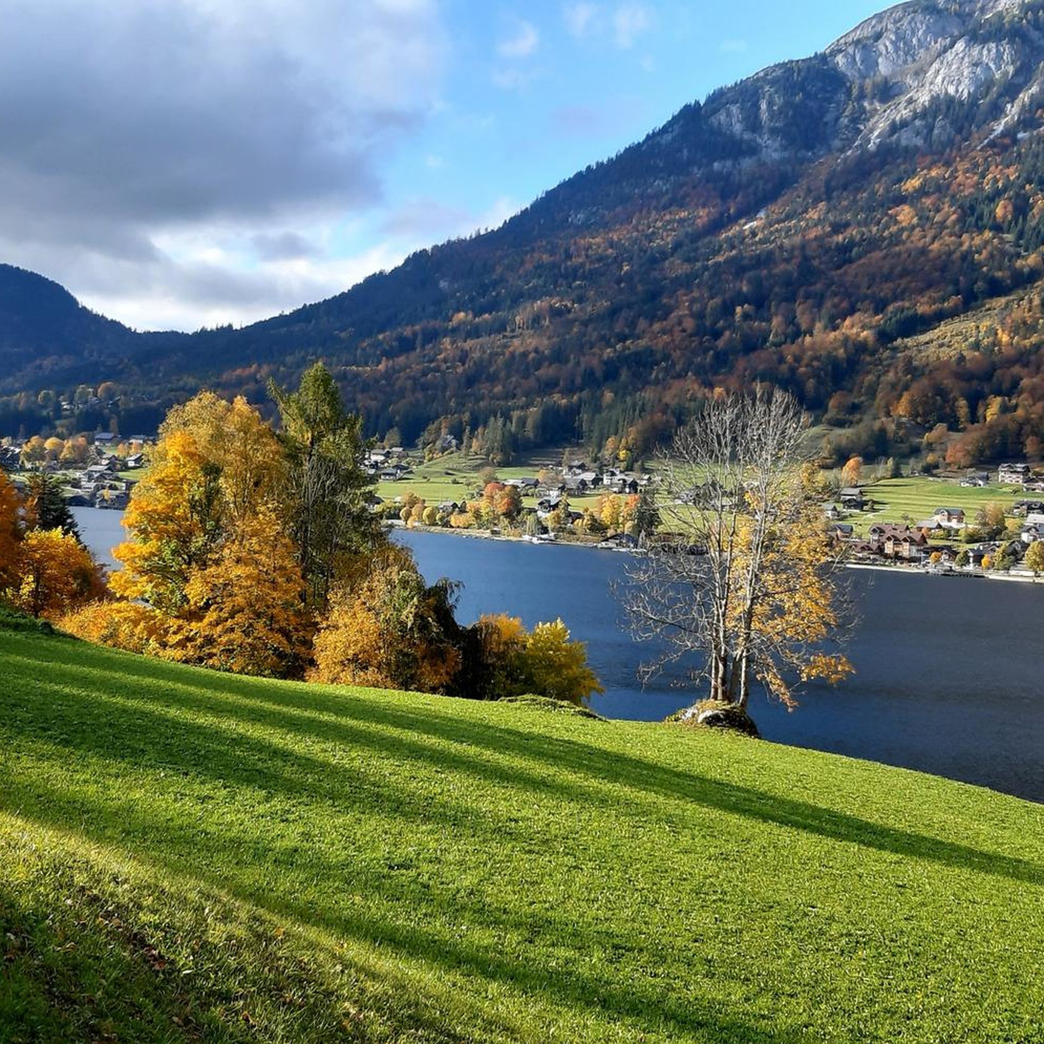
It's actually the "Ressenstüberl" cider tavern – almost always open, serving small dishes and cold drinks, perfect for a stop while circumnavigating Lake Grundlsee!
0
0
Frequently Asked Questions
How many mountaineering routes can I explore in Steirer Wald?
Steirer Wald offers a wide range of mountaineering experiences, with nearly 40 routes available for you to discover. These routes cater to various skill levels, from moderate to difficult, ensuring there's a challenge for every mountaineer.
What are the typical difficulty levels for mountaineering routes in Steirer Wald?
The mountaineering routes in Steirer Wald are primarily categorized as moderate or difficult. You'll find approximately 14 moderate routes and 25 difficult routes, providing options for both experienced hikers and those seeking a significant alpine challenge.
Are there any circular mountaineering routes in the Steirer Wald region?
Yes, Steirer Wald features several excellent circular routes. For example, the Grundlsee – Grundlsee loop from Grundlsee is a moderate 9.5-mile (15.2 km) trail that takes about 4 hours 10 minutes. Another challenging option is the Trisselwand Summit – View from Trisselberg loop from Grundlsee, a difficult 9.2-mile (14.8 km) route with expansive views.
What kind of natural features and landmarks can I expect to see along the routes?
Steirer Wald, often called the 'Green Heart of Austria,' is rich in natural beauty. You'll encounter wild forests, impressive rock faces, and alpine peaks. Specific routes, like the Waterfall Near Zimitzalm – Zimitzalm loop from Grundlsee, will lead you past stunning waterfalls. The region also boasts unique alpine flora and fauna, including rare plants and wildlife like golden eagles and chamois in higher elevations.
Are there any family-friendly mountaineering options in Steirer Wald?
While many routes are challenging, some areas offer more accessible paths. For instance, the region around Grundlsee provides a mix of difficulties. For a more relaxed experience, you might consider exploring areas with less elevation gain, though specific family-friendly mountaineering routes are not explicitly highlighted as easy. Always check route details for suitability.
What do other mountaineers say about their experiences in Steirer Wald?
The komoot community highly rates mountaineering in Steirer Wald, with an impressive average score of 4.7 stars from nearly 100 reviews. Mountaineers often praise the region's diverse terrain, from alpine peaks to wild forests, and the challenging yet rewarding experiences offered by routes like the Summit Cross – Backenstein – Backenstein Summit (1,772 m) loop from Grundlsee.
Can I find routes that feature waterfalls in Steirer Wald?
Yes, you can! The Waterfall Near Zimitzalm – Zimitzalm loop from Grundlsee is a moderate 4.5-mile (7.3 km) mountaineering route that specifically highlights a waterfall near Zimitzalm, offering a beautiful natural spectacle along the way.
What are some notable attractions or points of interest near the mountaineering routes?
Near many of the mountaineering routes, especially around Grundlsee, you'll find several points of interest. These include the scenic Lakeside Trail above Grundlsee and the unique Grundlsee Southern Shore Wooden Pathway. For a refreshing stop, the Kronhütter Natural Swimming Area is also nearby.
Are there any challenging high-alpine routes in Steirer Wald?
Absolutely. Steirer Wald is known for its challenging alpine experiences. The Summit Cross – Backenstein – Backenstein Summit (1,772 m) loop from Grundlsee is a difficult 9.9-mile (16.0 km) route that leads to a significant summit, providing a true high-alpine adventure. The Hochschwab Region also offers demanding routes like the 'From Glacier to Wine North Route Hochschwab Schiestlhaus - Seewiesen'.
What is the best time of year for mountaineering in Steirer Wald?
The best time for mountaineering in Steirer Wald generally aligns with late spring through early autumn (May to October) when the weather is more stable and trails are clear of snow at lower to mid-altitudes. Higher alpine regions, especially in areas like Gesäuse National Park, are best tackled in summer (July-September) when conditions are most favorable for challenging climbs.
Are there opportunities for wild swimming near the mountaineering trails?
While specific wild swimming spots directly adjacent to mountaineering trails are not detailed, the region's numerous lakes and natural swimming areas offer opportunities to cool off. For instance, the Kronhütter Natural Swimming Area is located near some routes in the Grundlsee area, providing a refreshing option after your hike.
Which mountain ranges are prominent for mountaineering in Steirer Wald?
Steirer Wald encompasses several significant mountain ranges ideal for mountaineering. The Gesäuse National Park is renowned for its high-alpine climbing and via ferratas. Other notable ranges include the Reichenstein mountain range, the Rottenmanner Tauern with peaks over 2,300 meters, and the Haller Mauern, featuring over 20 peaks, many exceeding 2,000 meters.
Most popular routes in Steirer Wald
Most popular attractions in Steirer Wald

Get inspired with the komoot mobile app


Explore more
Browse the best Mountain Hikes & Routes in other regions.
