The best road cycling routes in Sandlingberg
4.6
(135)
5,889
riders
47
rides
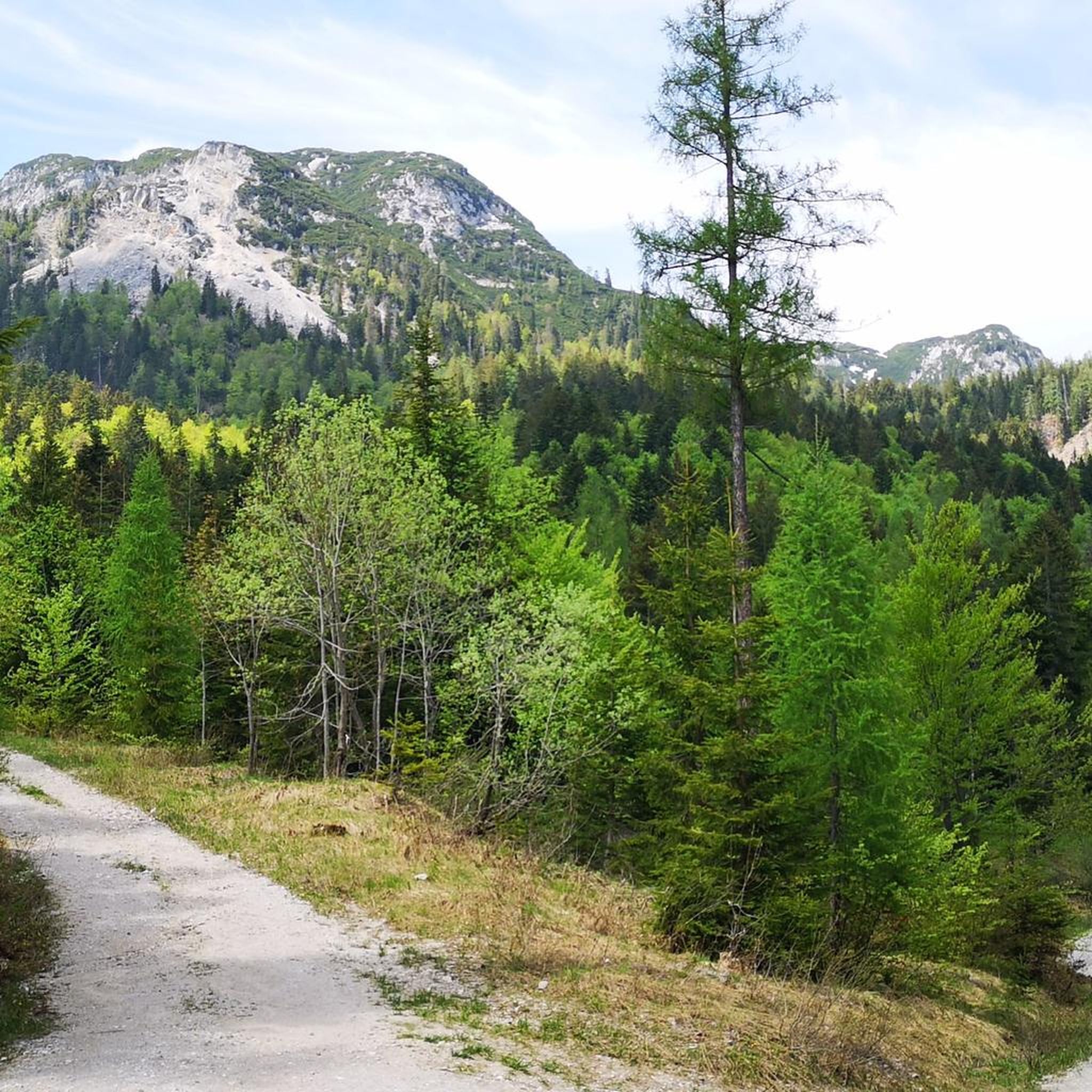
Road cycling in Sandlingberg is characterized by its diverse terrain, featuring extensive forests and scenic valleys. The region, situated near Liezen, offers a mix of undulating roads and climbs, providing varied experiences for road cyclists. Routes often navigate through wooded areas and along the shores of local lakes, presenting a blend of natural landscapes. The elevation changes contribute to a dynamic road cycling environment.
Best road cycling routes in Sandlingberg
- The most popular road cycling route is Loser Panoramic Road…
Last updated: July 2, 2026
4.9
(8)
259
riders
22.6km
01:37
840m
840m
Moderate road ride. Good fitness required. Mostly well-paved surfaces and easy to ride.
7
riders
15.3km
00:44
210m
210m
Easy road ride. Great for any fitness level. Mostly well-paved surfaces and easy to ride.

Sign up for free
14
riders
Moderate road ride. Great for any fitness level. Some segments of this route may be unpaved and difficult to ride.
4.4
(10)
261
riders
40.2km
02:08
420m
420m
Moderate road ride. Good fitness required. Some segments of this route may be unpaved and difficult to ride.
12
riders
165km
08:07
2,240m
2,240m
Hard road ride. Very good fitness required. Some segments of this route may be unpaved and difficult to ride.
Get access to more routes and recommendations from other explorers.
Sign up for free
Already have an account?
Our route recommendations are based on thousands of hikes, rides, and runs completed by other people on komoot.
Start today with a free account
Your next adventure awaits.
Login or Signup
Tips from the Community

nice, but completely overcrowded
0
0
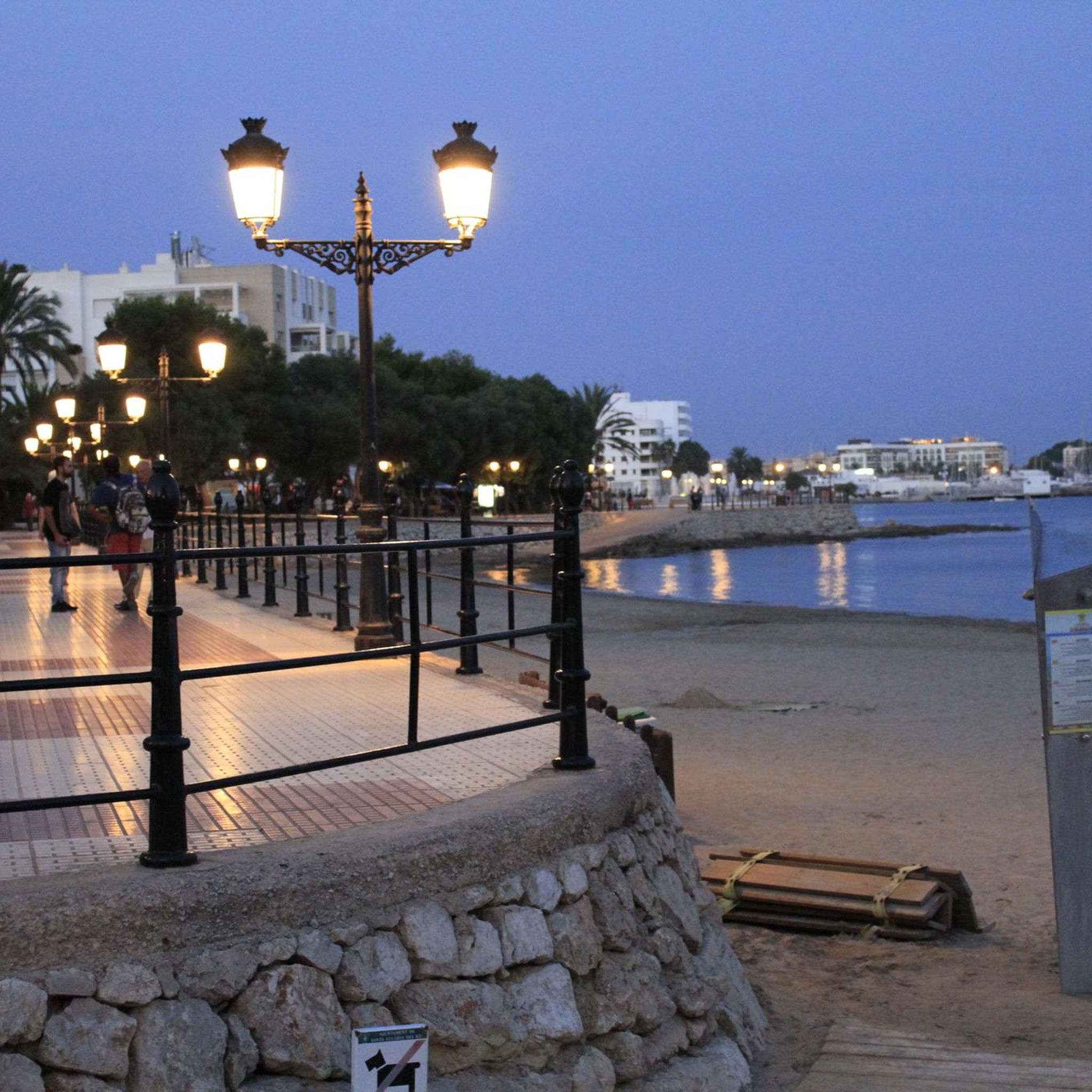
beautiful view of the lake from the bike path
0
0

beautiful, quiet place with good gastronomy
0
0
Frequently Asked Questions
How many road cycling routes are available in Sandlingberg?
Sandlingberg offers a diverse selection of road cycling routes, with nearly 50 routes available. These range from easy loops to more challenging ascents, catering to various skill levels.
What are some good road cycling routes for beginners in Sandlingberg?
For beginners or those seeking a more relaxed ride, the region has 8 easy routes. A great option is the Grundlsee loop from Kendl, which offers a flatter profile and circles the scenic Grundlsee lake.
Are there challenging road cycling routes for experienced riders in Sandlingberg?
Yes, Sandlingberg provides 13 difficult road cycling routes for experienced riders. A particularly demanding option is the extensive Postalm Entrance Gate – Imperial spa town Bad Ischl loop from Obersee, which features significant elevation changes over its 165 km distance.
Can I find circular road cycling routes in Sandlingberg?
Many of Sandlingberg's road cycling routes are designed as loops, allowing you to start and finish in the same location. Examples include the popular Loser Panoramic Road loop from Altaussee and the Grundlsee – Toplitzsee loop from Bad Aussee.
What is the best time of year for road cycling in Sandlingberg?
The spring, summer, and early autumn months generally offer the best conditions for road cycling in Sandlingberg, with milder temperatures and less chance of snow or ice on higher elevation roads. Always check local weather forecasts before heading out.
Are there road cycling routes in Sandlingberg with scenic viewpoints?
Absolutely. Many routes in Sandlingberg traverse scenic areas. The Loser Panoramic Road loop from Altaussee is renowned for its panoramic views, offering stunning vistas of the surrounding mountains and valleys.
What makes road cycling in Sandlingberg unique?
Road cycling in Sandlingberg is characterized by its diverse terrain, featuring extensive forests, scenic valleys, and the shores of local lakes. The region offers a dynamic environment with undulating roads and varied climbs, providing a blend of natural landscapes and challenging sections.
What do other road cyclists say about the routes in Sandlingberg?
The road cycling routes in Sandlingberg are highly rated by the komoot community, with an average score of 4.6 stars from over 130 reviews. Cyclists often praise the region's varied terrain, beautiful natural scenery, and the well-maintained road surfaces.
How long do road cycling routes typically take in Sandlingberg?
Route durations vary significantly based on distance and elevation. For instance, the Grundlsee loop from Kendl can be completed in about 45 minutes, while the more challenging Loser Panoramic Road loop from Altaussee typically takes around 1 hour 38 minutes.
Are there road cycling routes that pass through towns or villages in Sandlingberg?
Yes, some routes in Sandlingberg connect or pass through charming towns and villages. The Gasthof Moserwirt – Bad Goisern loop from Untersee bei Bad Goisern B145, for example, leads through forested areas and past small towns, offering opportunities to experience local culture.
Are there less crowded road cycling options in Sandlingberg?
To enjoy a quieter ride, consider cycling during off-peak hours, such as early mornings or weekdays. Exploring some of the less-trafficked routes, particularly those away from major lake circuits, can also provide a more serene experience.
Most popular routes in Sandlingberg

Get inspired with the komoot mobile app


Explore more
Browse the best Road cycling routes in other regions.
