The best mountain hikes in Hornspitz
4.7
(130)
1,534
hikers
44
hikes
Mountaineering routes in Hornspitz are set within the Dachstein Mountains, offering diverse terrain for outdoor activities. The region features prominent peaks like Hornspitz itself, which stands at 1,433 meters (4,701 feet), and provides panoramic views of the Dachstein glacier and Gosaukamm ridge. The landscape is characterized by accessible mountain paths, alpine meadows, and the rugged features of the wider Dachstein and Gosaukamm area, suitable for various mountaineering experiences.
Best mountaineering routes in Hornspitz
- The most popular mountaineering route is Traunwandalm…
Last updated: July 5, 2026
5.0
(3)
54
hikers
12.9km
06:18
1,170m
1,170m
Hard mountaineering route. Very good fitness required. Mostly accessible paths. Sure-footedness required.
4.0
(2)
44
hikers
14.9km
06:41
1,170m
1,170m
Hard mountaineering route. Very good fitness required. Mostly accessible paths. Sure-footedness required.

Sign up for free
5.0
(1)
11
hikers
16.6km
07:51
1,180m
1,180m
Hard mountaineering route. Very good fitness required. Sure-footedness, sturdy shoes and alpine experience required.
8
hikers
8.08km
02:40
410m
410m
Moderate mountaineering route. Good fitness required. Easily-accessible paths. Suitable for all skill levels.
5.0
(1)
7
hikers
Hard mountaineering route. Good fitness required. Sure-footedness, sturdy shoes and alpine experience required.
Get access to more routes and recommendations from other explorers.
Sign up for free
Already have an account?
Our route recommendations are based on thousands of hikes, rides, and runs completed by other people on komoot.
Start today with a free account
Your next adventure awaits.
Login or Signup
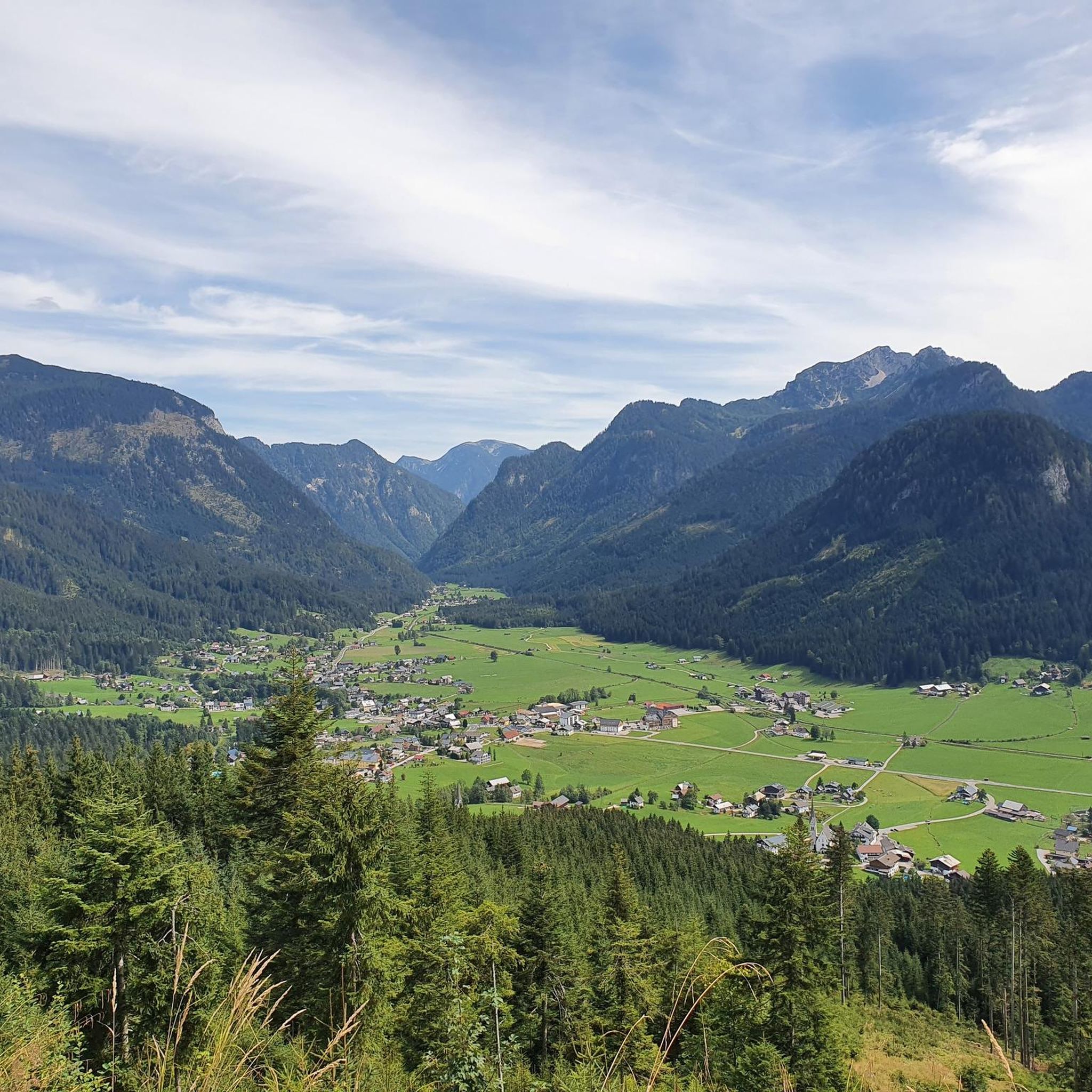
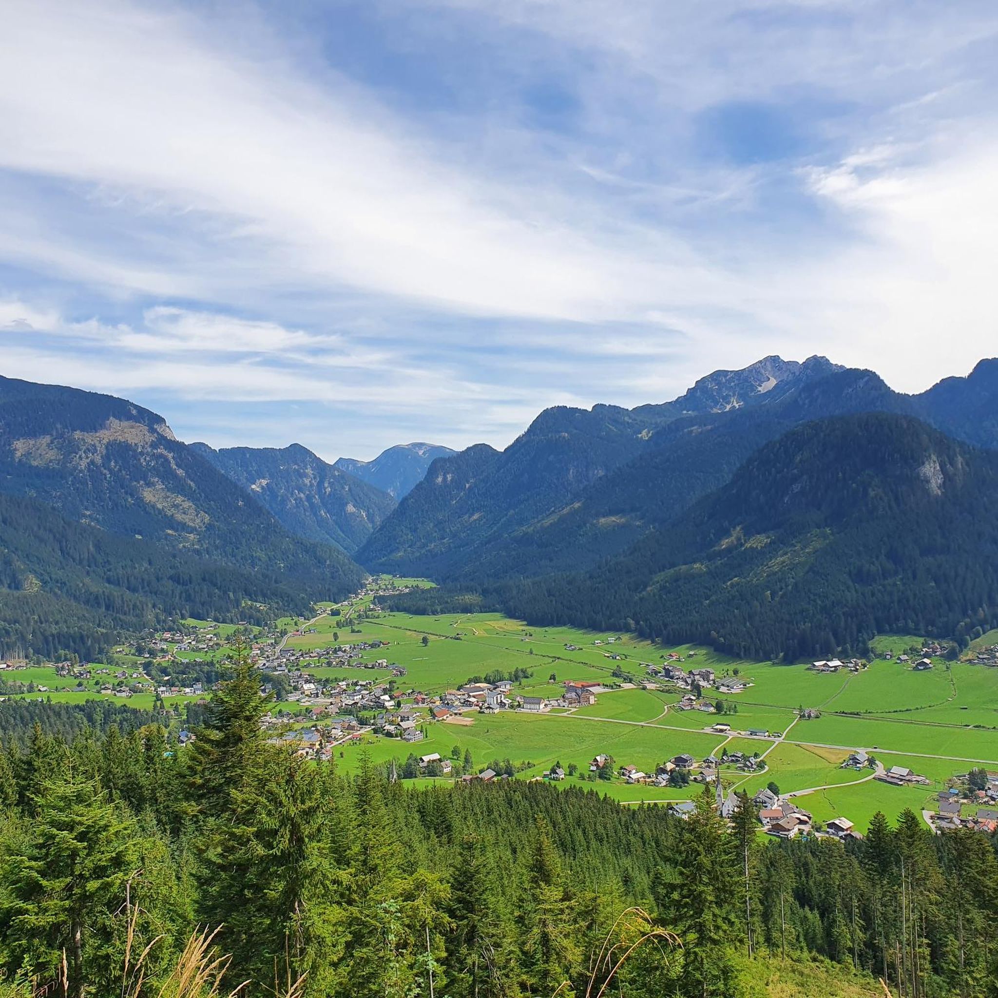
Tips from the Community

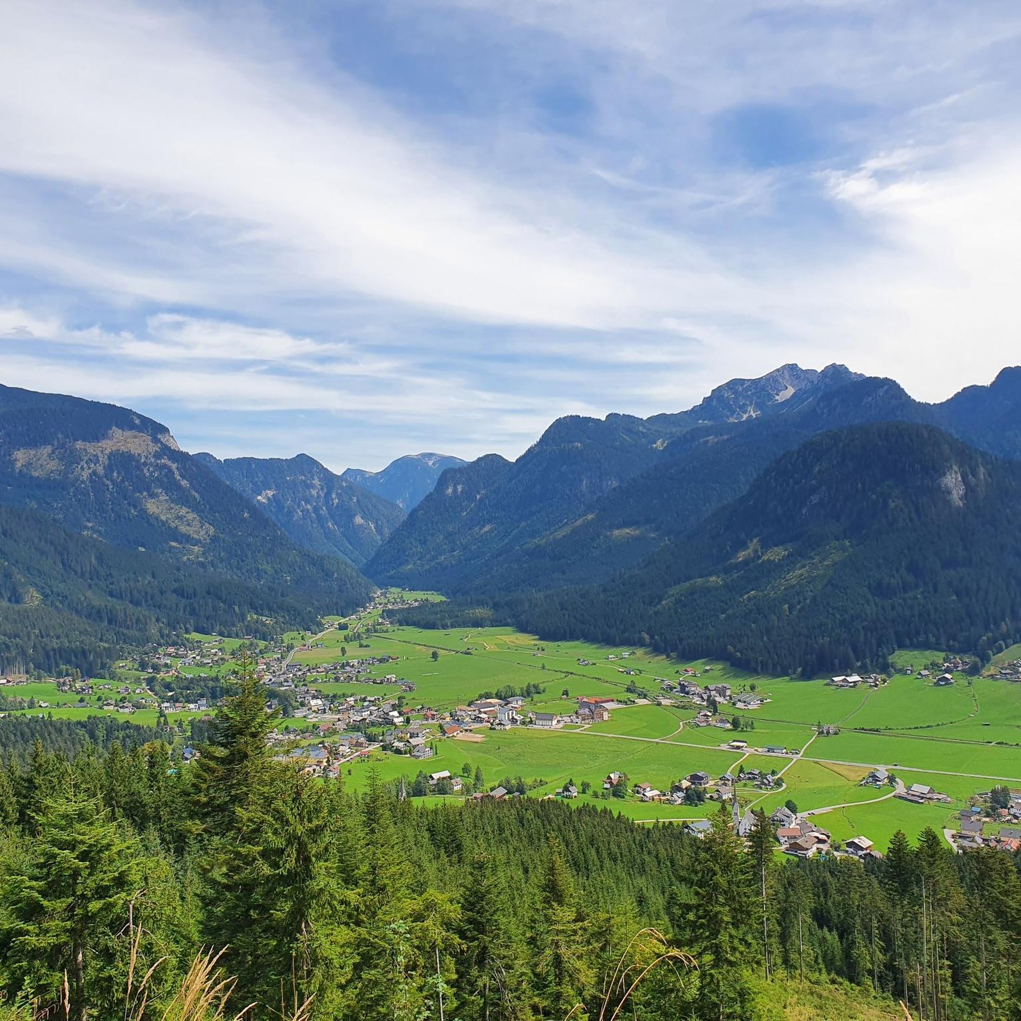
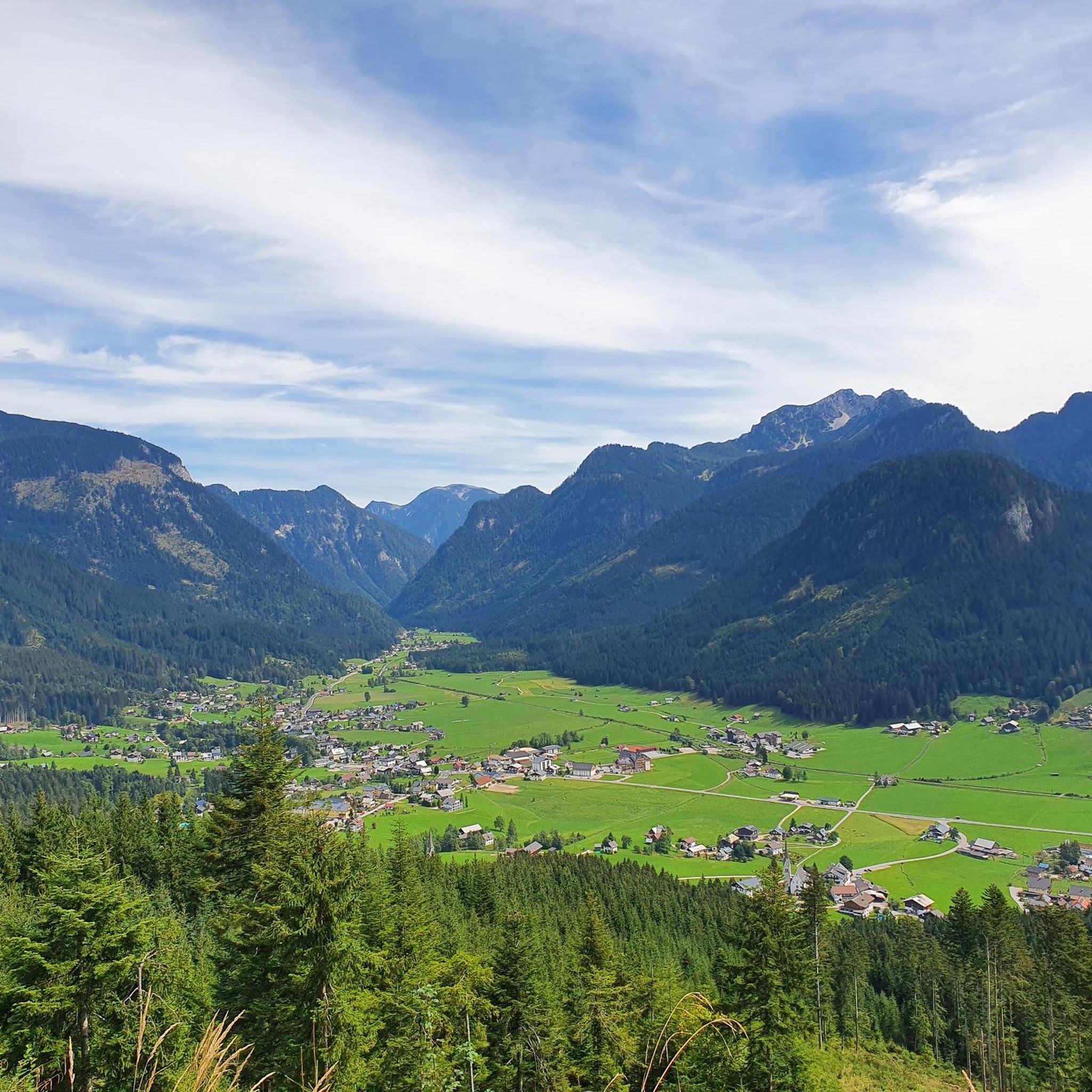
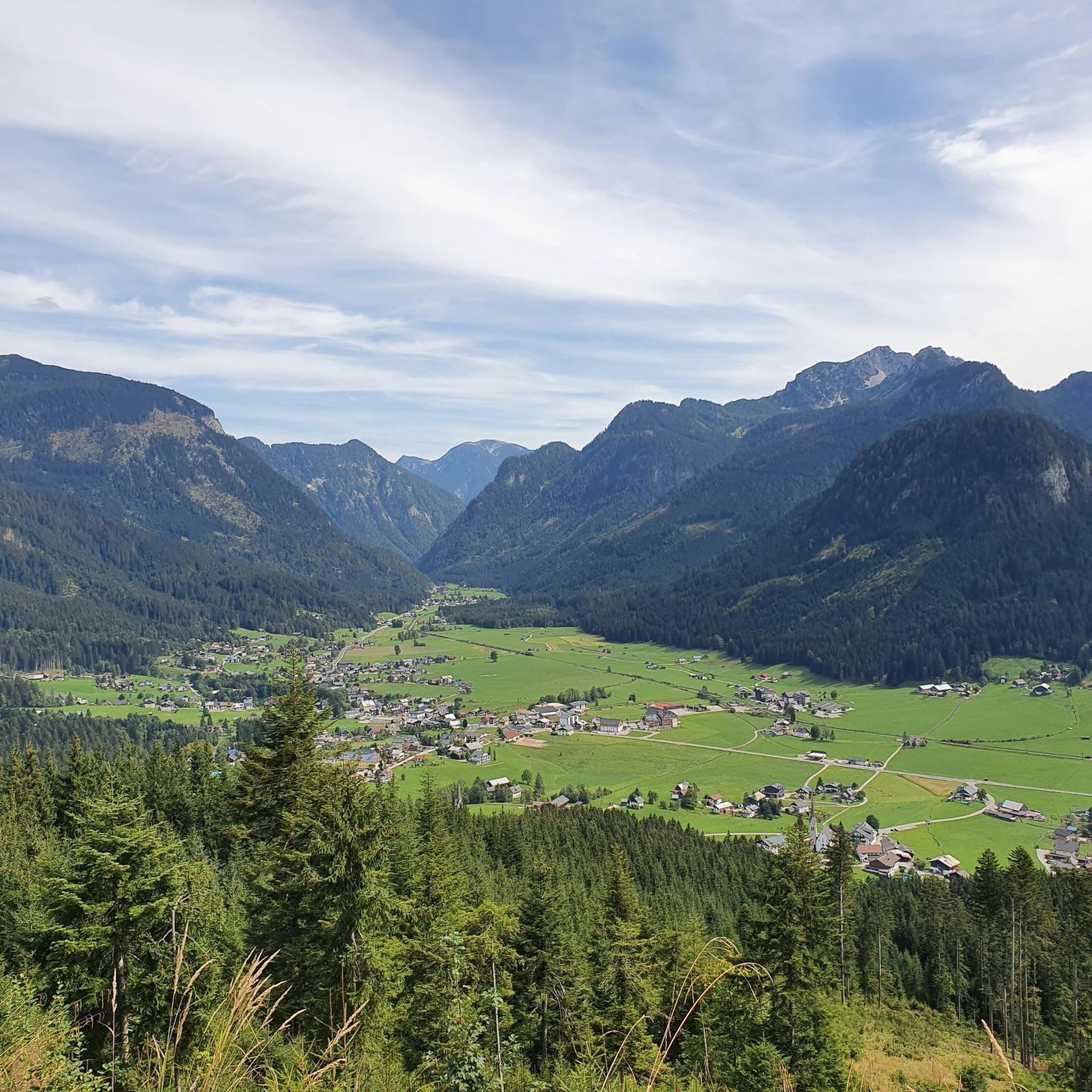
The alpine hut on the Angerkaralm is open from June to October. In the other months there is a drinks machine. It is located in the Osterhorn group on the way to Gamsfeld 2027, a destination that is very popular in winter (ski tours and snowshoes) and summer. Great rest area with a beautiful terrace.
0
0

Fantastic panorama of the Dachstein. Variety of animals: horses, goats, sheep and cows. 🏔️🐴
0
0

Great panoramic view over the entire Osterhorn group
0
0

Wonderful view of Russbach and the valleys around it. Great view of the Gamsfeld
0
0
Frequently Asked Questions
How many mountaineering routes are available in Hornspitz?
Hornspitz offers a diverse network of over 40 mountaineering routes. These range from moderate ascents to more challenging summit routes, catering to various skill levels.
What is the typical difficulty of mountaineering routes in Hornspitz?
The routes in Hornspitz primarily feature moderate to difficult terrain. You'll find 14 moderate routes and 27 difficult routes, with a few easier options available. For example, the Berggasthof Tannenheim loop from Rußbach am Paß Gschütt is a moderate option, while the Traunwandalm – Gamsfeld Summit (2,027 m) loop from Rußbach am Paß Gschütt presents a significant challenge.
Are there any family-friendly mountaineering options in Hornspitz?
While many routes are geared towards experienced mountaineers, the Hornspitz area is known for its family-friendly environment. The Hornbahn cable car provides easy access to the mountain, and there are trails suitable for families, including those with pushchairs. You can also explore "Bruno's Mountain World" with fun play stations and an alpine flower garden.
Can I bring my dog on the mountaineering trails in Hornspitz?
Many trails in the Hornspitz region are dog-friendly, allowing you to enjoy the mountain scenery with your canine companion. However, it's always advisable to check specific trail regulations and ensure your dog is well-behaved and kept on a leash, especially in areas with livestock or wildlife.
What are the best times of year for mountaineering in Hornspitz?
The best time for mountaineering in Hornspitz is typically from late spring through early autumn (May to October). During these months, the weather is generally more stable, and trails are clear of snow. Always check the local weather forecast and trail conditions before heading out, especially in shoulder seasons.
Are there any circular mountaineering routes in Hornspitz?
Yes, Hornspitz offers several circular mountaineering routes. A popular difficult option is the Gamsfeld Summit (2,027 m) – Gamsfeld Summit loop from Rußbach am Paß Gschütt, which provides expansive views. For a moderate circular route, consider the Berggasthof Tannenheim loop from Rußbach am Paß Gschütt.
What kind of views and natural features can I expect along the routes?
From the summit of Hornspitz (1,433 meters), you'll be treated to magnificent panoramic views of the majestic Dachstein glacier, the rugged Gosaukamm ridge, and the expansive Tennengebirge mountain range. The routes traverse accessible mountain paths, alpine meadows, and rugged features characteristic of the wider Dachstein and Gosaukamm area.
Are there mountain huts or places to eat along the mountaineering routes?
Yes, the Hornspitz area has several cozy alpine huts where you can rest and enjoy regional specialties. The Zeishofalm is located close to the Hornspitz summit, and other huts like Stuhlalm, Mahdalm, and Gablonzerhütte are also found in the wider region, offering refreshments and meals.
What do other mountaineers enjoy most about Hornspitz?
The Hornspitz region is highly rated by the komoot community, with an average score of 4.7 stars from over 130 reviews. Mountaineers often praise the stunning panoramic views of the Dachstein glacier and Gosaukamm ridge, the diverse terrain, and the well-maintained trails that offer options for various skill levels.
Are there any notable landmarks or attractions near the mountaineering routes?
Yes, the Hornspitz area features several interesting landmarks. You can explore the Pass Gschütt (969 m), a significant mountain pass, or discover natural features like Rotmoos. The region also offers unique trails such as the Agathensturz Trail.
Is public transport available to reach the mountaineering trailheads?
The Hornspitz region is generally accessible. While specific public transport details for every trailhead might vary, the Hornbahn cable car from Russbach provides convenient access to the 1,450-meter Hornspitz, serving as an excellent starting point for many routes. It's recommended to check local bus schedules for connections to Russbach am Paß Gschütt or Gosau.
Most popular routes in Hornspitz
Most popular attractions in Hornspitz

Get inspired with the komoot mobile app


Explore more
Browse the best Mountain Hikes & Routes in other regions.
