The best mountain hikes in Radling-Wald
4.7
(86)
1,389
hikers
33
hikes
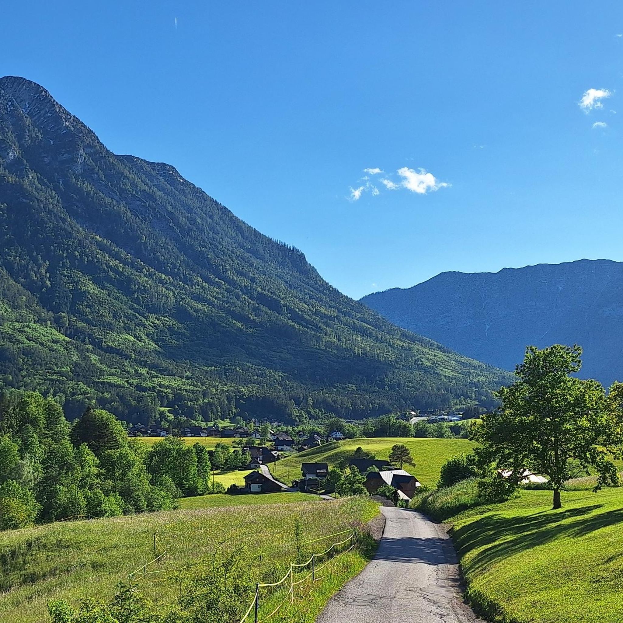
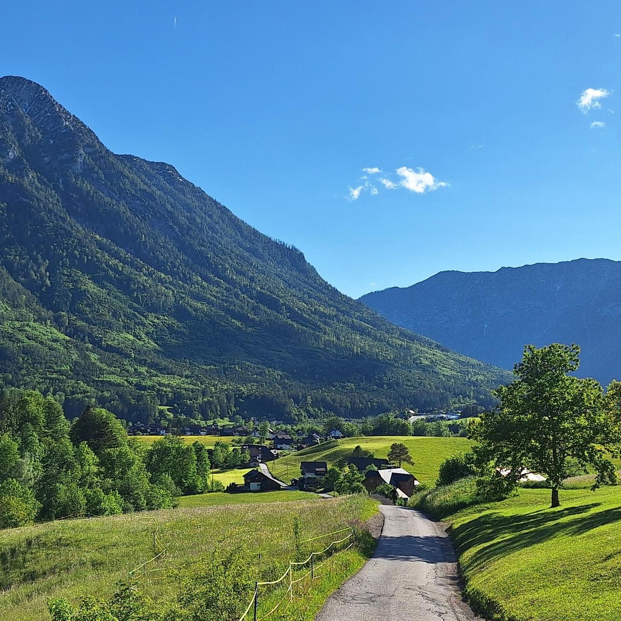
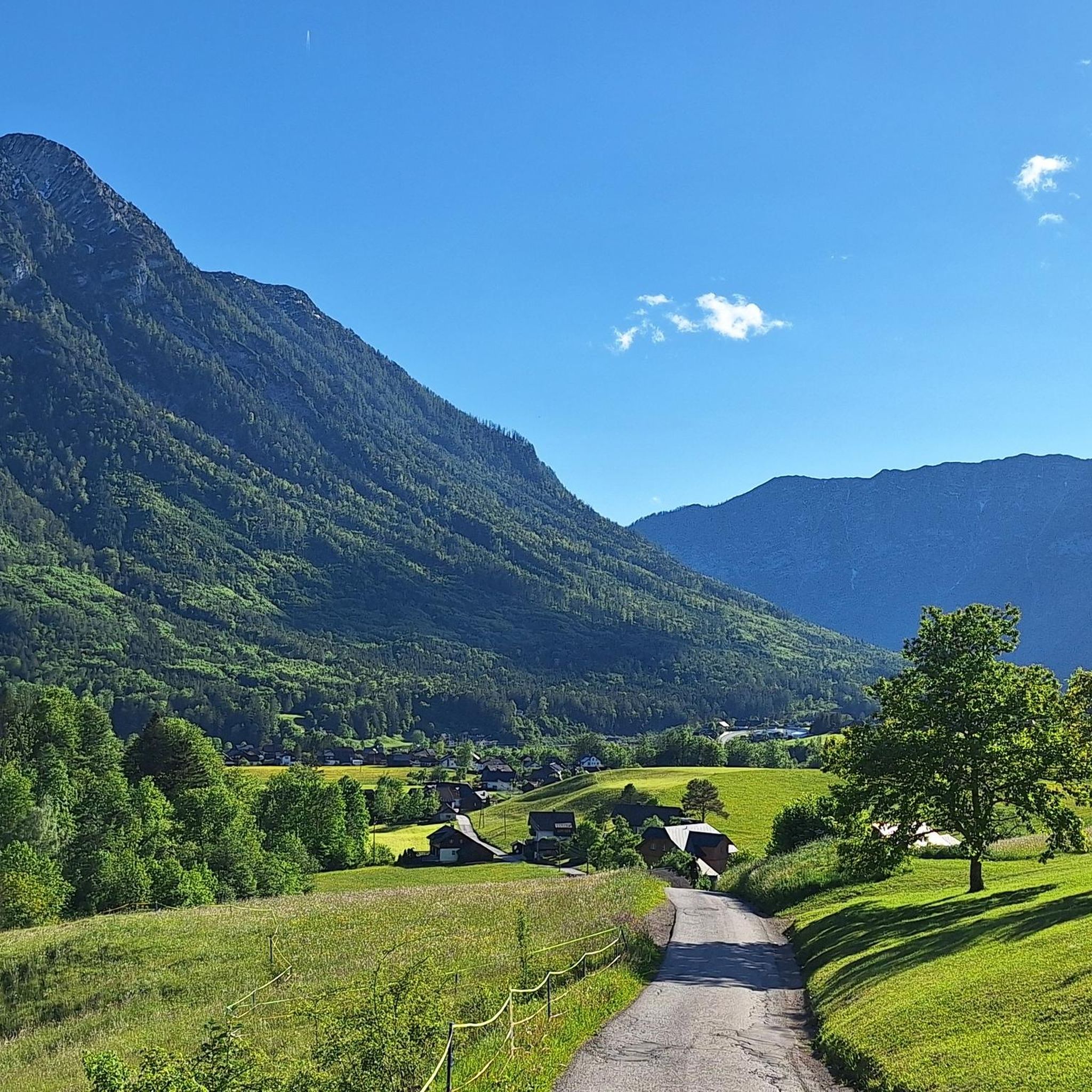
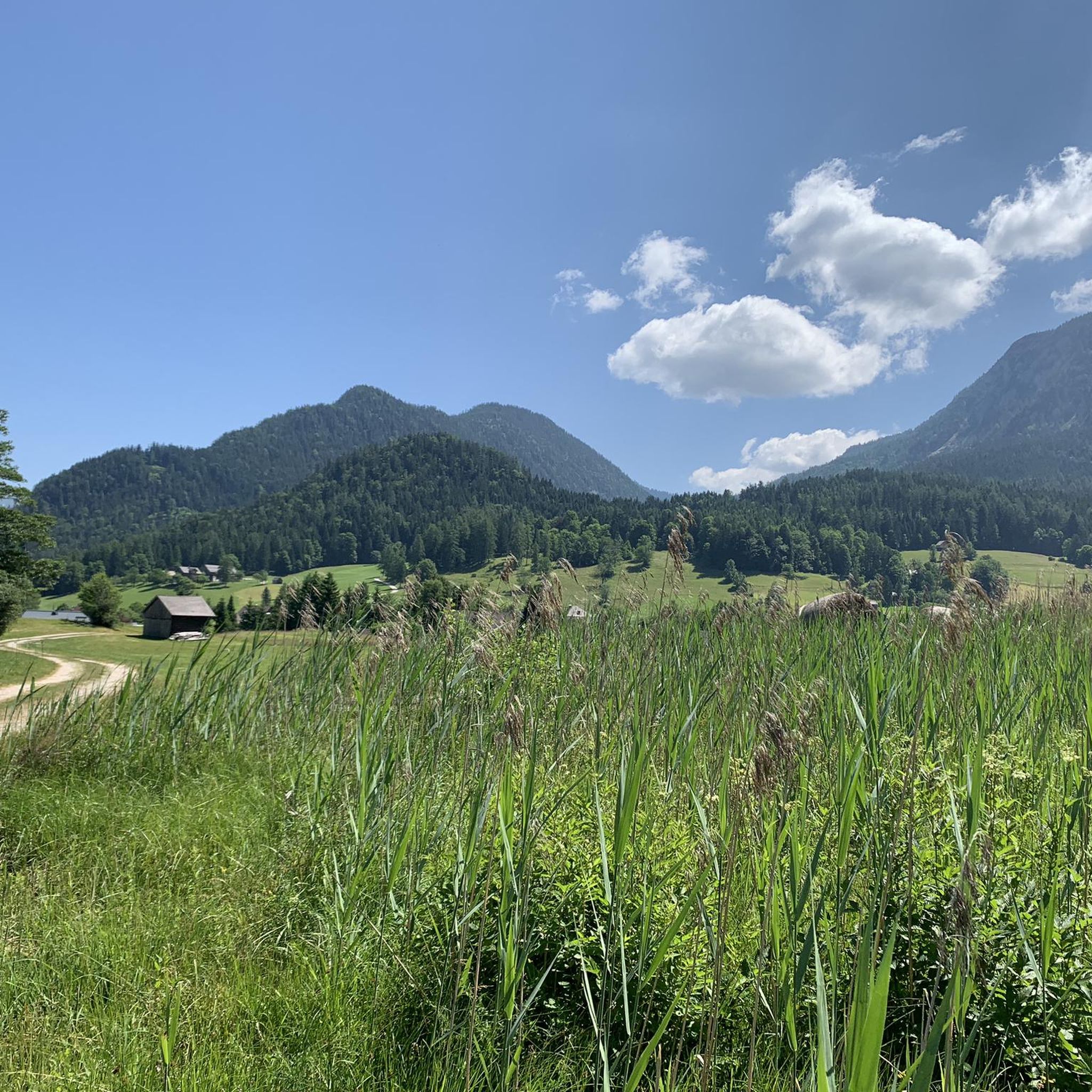
Mountaineering in Radling-Wald offers diverse terrain characterized by a blend of dense forests, picturesque lakes, and significant mountainous areas. The region features routes with substantial elevation gains, providing varied challenges for mountaineers. Surrounding areas include serene bodies of water like Lake Ödensee and Lake Grundlsee, alongside elevated and rugged terrain suitable for alpine experiences. Many routes demand good fitness and sure-footedness, with some requiring alpine experience.
Best mountaineering routes in Radling-Wald
- The most popular mountaineering route is Ausseer Zinken Summit…
Last updated: July 5, 2026
5.0
(3)
51
hikers
12.3km
07:10
1,200m
1,200m
Hard mountaineering route. Very good fitness required. Sure-footedness, sturdy shoes and alpine experience required.
4.7
(13)
227
hikers
7.81km
04:25
750m
750m
Hard mountaineering route. Good fitness required. Sure-footedness, sturdy shoes and alpine experience required.

Sign up for free
5.0
(3)
53
hikers
14.8km
06:36
1,020m
1,020m
Hard mountaineering route. Very good fitness required. Sure-footedness, sturdy shoes and alpine experience required.
17
hikers
Moderate mountaineering route. Great for any fitness level. Mostly accessible paths. Sure-footedness required.
5.0
(1)
11
hikers
6.62km
02:34
380m
380m
Moderate mountaineering route. Good fitness required. Mostly accessible paths. Sure-footedness required.
Get access to more routes and recommendations from other explorers.
Sign up for free
Already have an account?
Our route recommendations are based on thousands of hikes, rides, and runs completed by other people on komoot.
Start today with a free account
Your next adventure awaits.
Login or Signup
Tips from the Community

beautiful, but completely overcrowded
0
0

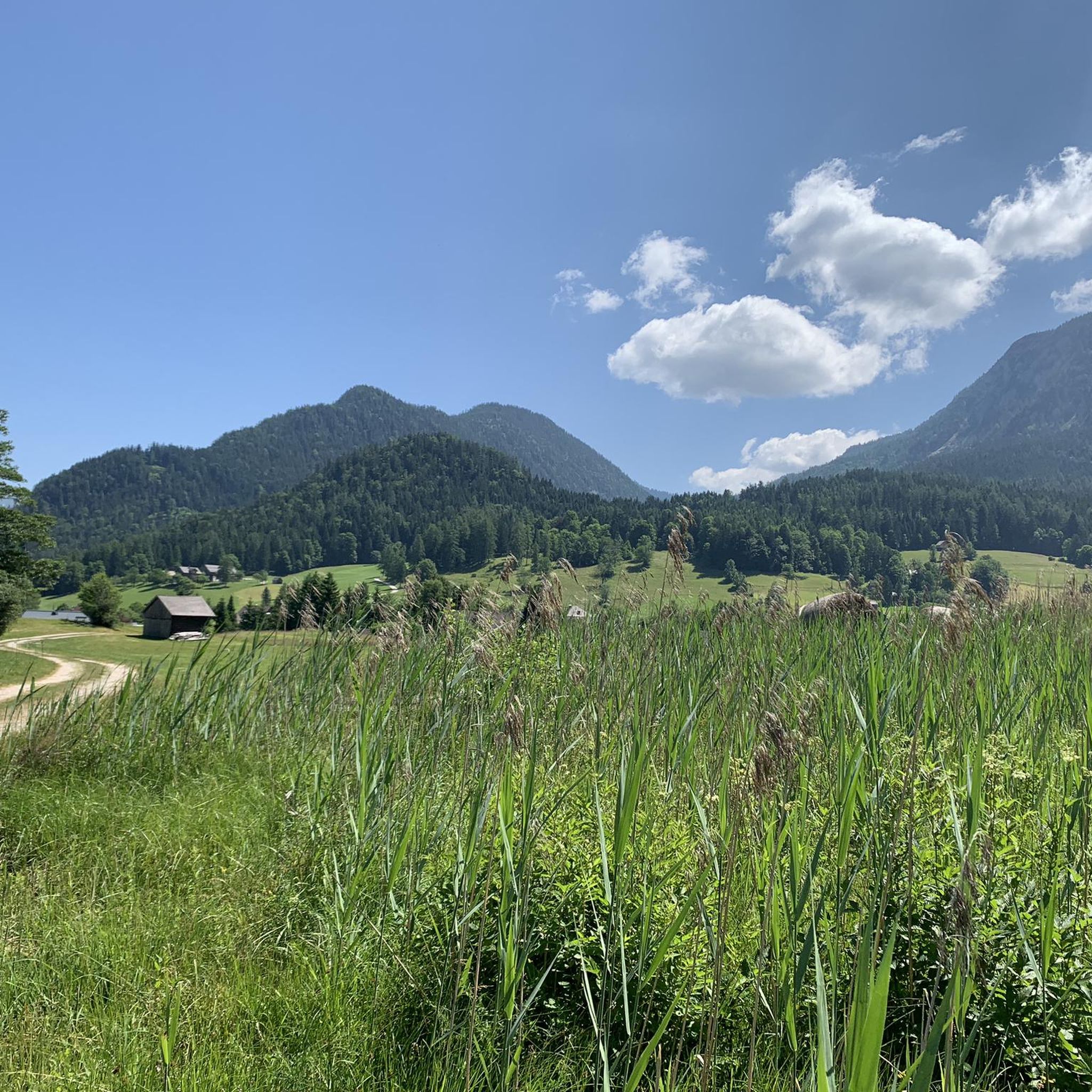
The summit of the Zinken - often described as the "Ausseer" Zinken - offers a magnificent view and valley view into the Ausseerland
0
0

We used the boat on the Berge Seen Trail (6th and last stage) and used the time saved to go swimming.
0
0

The Ahornkogel can be reached in 5 minutes from the hiking trail to the Trisselwand.
0
0
Magnificent views of the Dachstein glacier, Totes Gebirge with Loser, Grimming, Schladminger Tauern, Grundsee and Altaussee and many more.
0
0

Fantastic view from the Totes Gebirge over the Loser and Altausseer See to the Dachstein glacier
0
0

Fees apply and can be paid with EC card.
0
0
Frequently Asked Questions
How many mountaineering routes are there in Radling-Wald?
Radling-Wald offers a substantial network of over 35 mountaineering routes. These routes cater to various skill levels, ranging from moderate climbs to challenging alpine experiences.
Are there any easier mountaineering routes in Radling-Wald for beginners?
While many routes in Radling-Wald are considered difficult, there are several moderate options suitable for those with good fitness but less alpine experience. For example, the View of Grundlsee loop from Altausseer See offers a shorter, less strenuous climb with beautiful views. Another moderate option is the Mountaineering loop from Bad Aussee.
What kind of challenges can experienced mountaineers expect in Radling-Wald?
Experienced mountaineers will find plenty of challenging routes in Radling-Wald, often featuring significant elevation gains and demanding sure-footedness. Routes like the Ausseer Zinken Summit loop from Bad Aussee, with over 1200 meters of ascent, provide a rigorous alpine experience. Other difficult routes include the Trisselwand Summit – View from Trisselberg loop from Altausseer See and the Trisselwand Summit – View from Trisselberg loop from Grundlsee, both offering substantial climbs and rewarding views.
Are there circular mountaineering routes available in Radling-Wald?
Yes, many of the mountaineering routes in Radling-Wald are designed as circular loops, allowing you to start and end at the same point. This includes popular options like the Ausseer Zinken Summit loop from Bad Aussee and the Trisselwand Summit – View from Trisselberg loop from Grundlsee, providing convenient exploration of the region's diverse terrain.
What natural features or viewpoints can I expect to see on mountaineering routes in Radling-Wald?
Mountaineering routes in Radling-Wald offer a blend of dense forests, significant mountainous areas, and picturesque lakes. You can expect stunning views of serene bodies of water like Lake Ödensee and Lake Grundlsee. The region's elevated terrain also provides panoramic vistas, especially from summits or higher viewpoints, showcasing the blend of forest and alpine landscapes.
When is the best time of year to go mountaineering in Radling-Wald?
The best time for mountaineering in Radling-Wald is typically during the warmer months, from late spring to early autumn (May to October), when trails are clear of snow and weather conditions are generally stable. This period allows for optimal enjoyment of the diverse landscapes and challenging ascents.
How accessible are the mountaineering routes in Radling-Wald by public transport or car?
The region around Radling-Wald is generally well-connected. Many trailheads are accessible by car, with parking often available near popular starting points. For public transport, it's advisable to check local bus or train schedules to nearby towns like Bad Aussee or Grundlsee, which can serve as access points to various routes.
Are there any places to eat or rest along the mountaineering routes?
Yes, the region is known for its amenities, and you may find huts or cafes along or near some of the routes, especially around popular lakes like Lake Ödensee. These can provide opportunities for refreshments and rest during your mountaineering adventure.
What do other mountaineers say about their experience in Radling-Wald?
The mountaineering routes in Radling-Wald are highly rated by the komoot community, with an average score of 4.6 stars from over 90 reviews. Mountaineers frequently praise the varied terrain, significant elevation gains, and the beautiful blend of forests and lake views that characterize the region.
Can I bring my dog on mountaineering routes in Radling-Wald?
Many trails in Radling-Wald are dog-friendly, but it's always recommended to check specific route regulations before heading out. Ensure your dog is fit for the terrain and elevation, and always keep them on a leash, especially in sensitive natural areas or near wildlife.
Is winter mountaineering possible in Radling-Wald?
While the region offers winter activities like snowshoeing, winter mountaineering in Radling-Wald requires specialized equipment, experience, and careful attention to weather and avalanche conditions. Many routes become significantly more challenging or inaccessible due to snow and ice, so it's best suited for experienced winter alpinists.
Most popular routes in Radling-Wald

Get inspired with the komoot mobile app


Explore more
Browse the best Mountain Hikes & Routes in other regions.
