The best mountain hikes in Flichtlhofberg
4.7
(32)
588
hikers
34
hikes
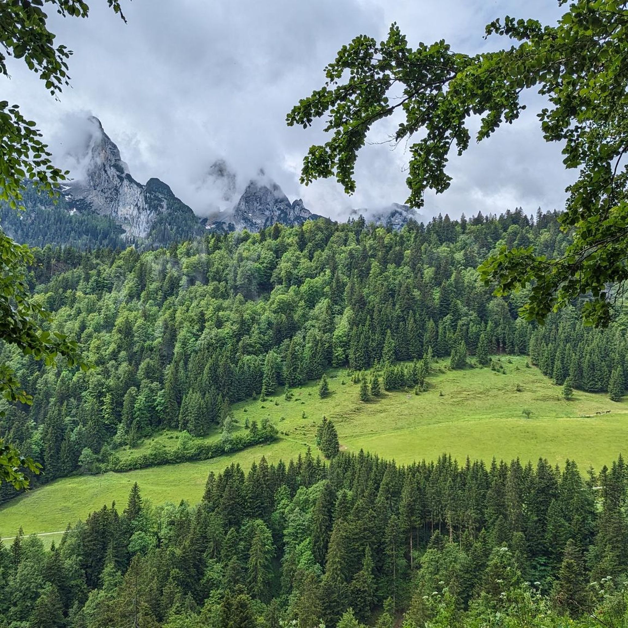
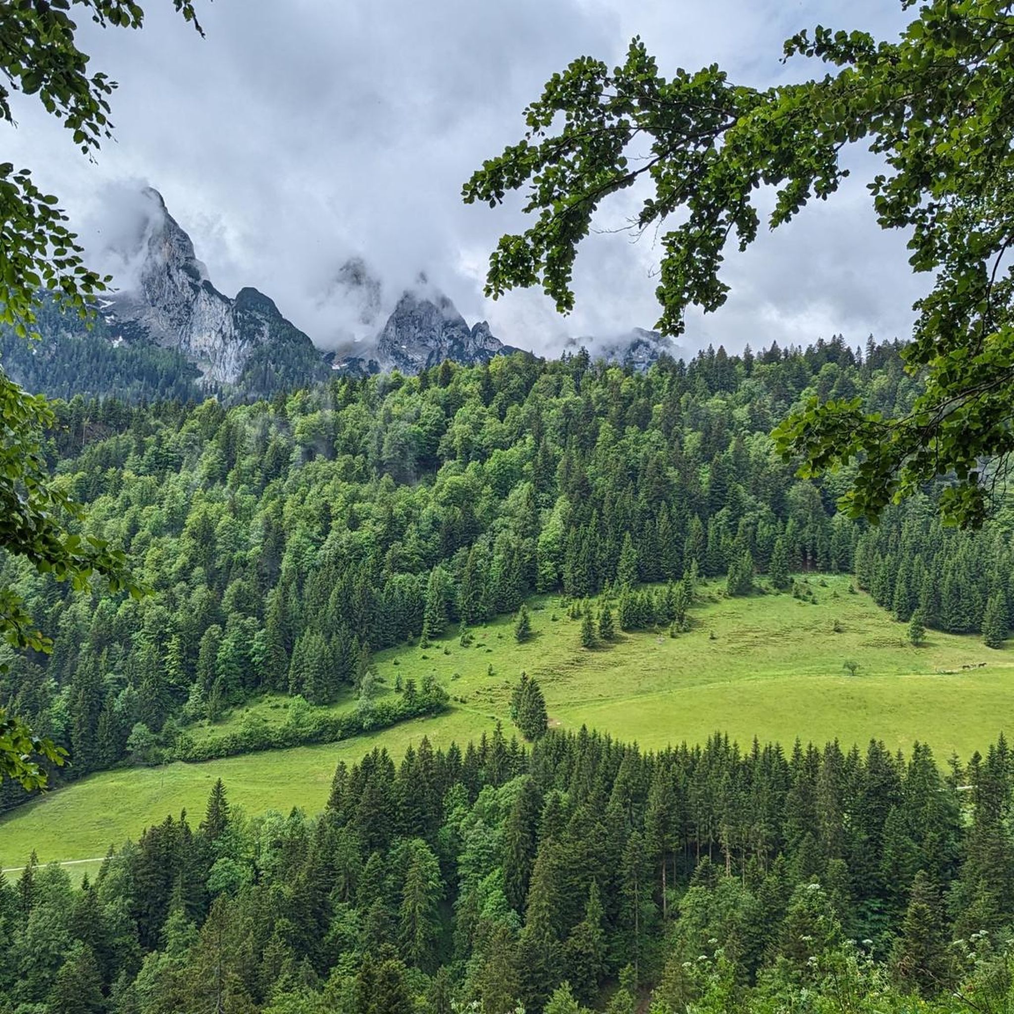
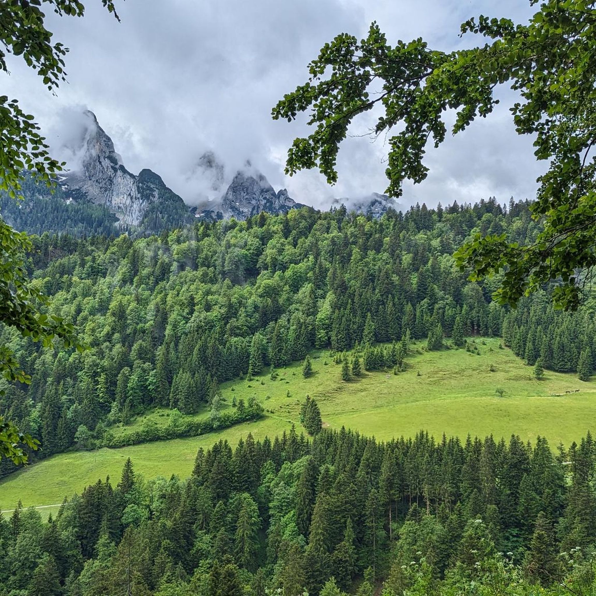
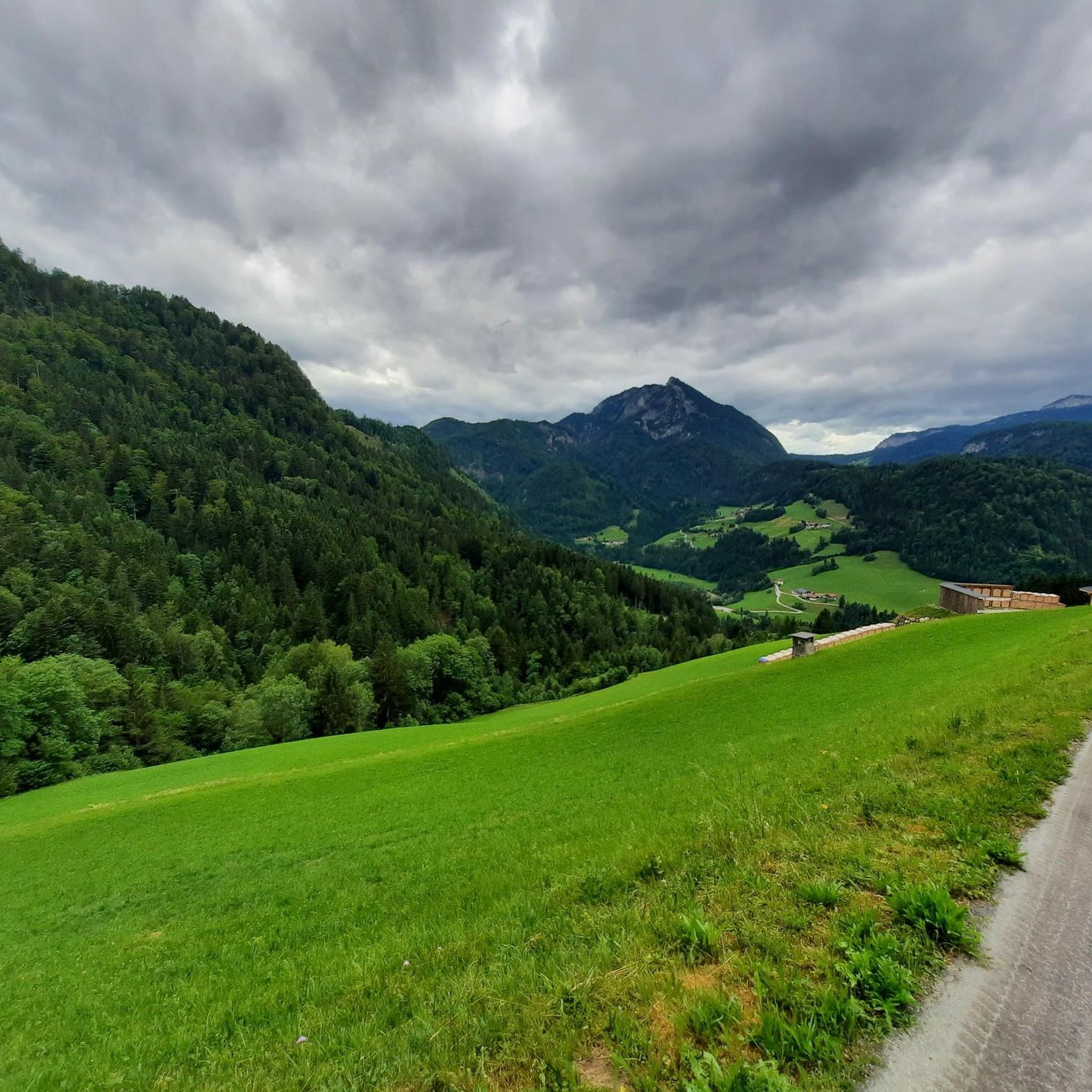
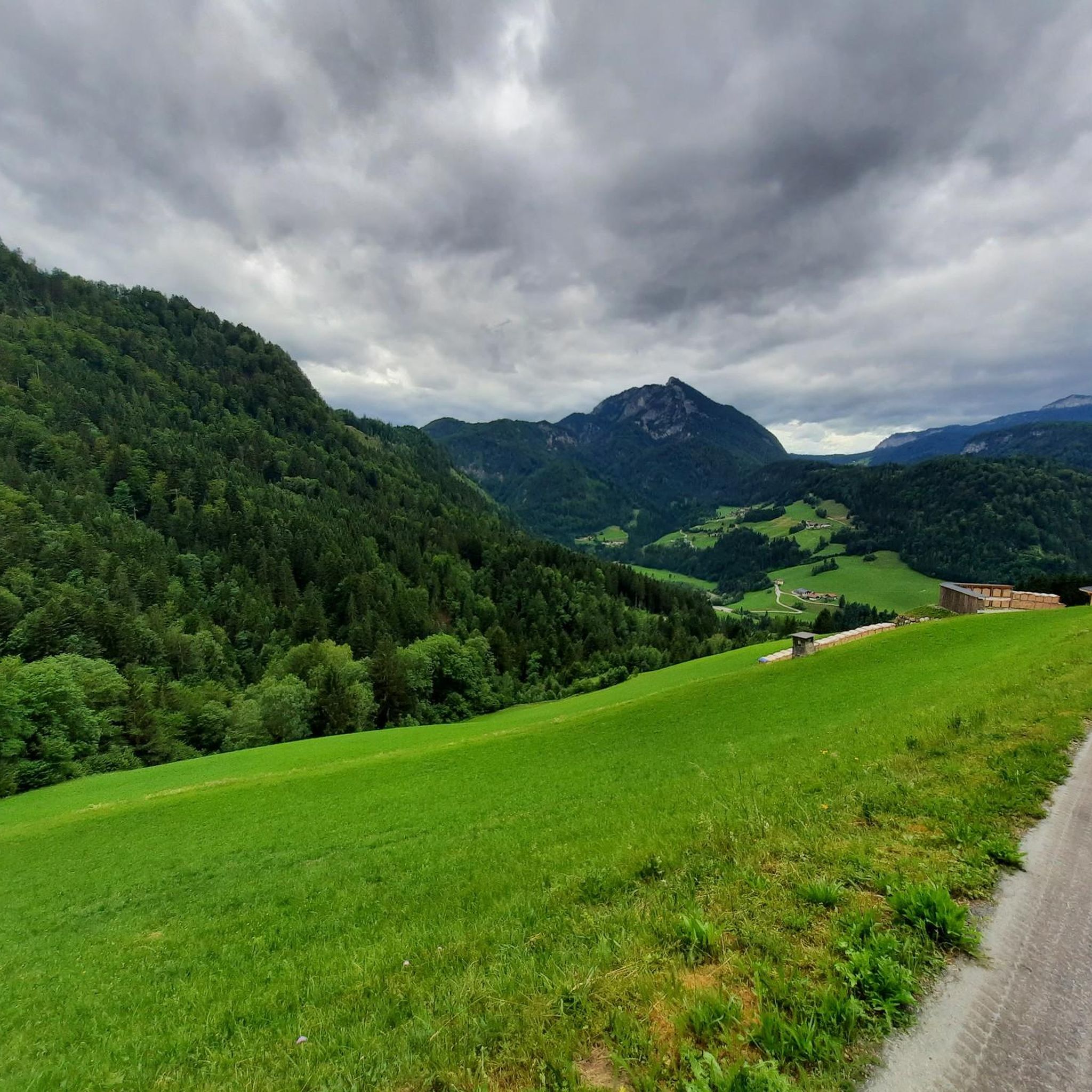
Mountaineering in Flichtlhofberg offers a diverse environment characterized by rocky peaks, extensive forest areas, and mountain meadows. The region features a network of paths suitable for various levels of experience. These routes often include challenging ascents and provide opportunities to explore varied alpine terrain. The area's natural features make it a destination for those seeking engaging outdoor activities.
Best mountaineering routes in Flichtlhofberg
- The most popular mountaineering route is View of the Dachstein loop from Aubachfall, a 13.4 miles…
Last updated: July 1, 2026
4.5
(2)
5
hikers
21.6km
07:35
1,120m
1,120m
Hard mountaineering route. Very good fitness required. Mostly accessible paths. Sure-footedness required.
5.0
(2)
12
hikers
15.5km
07:24
1,620m
1,620m
Hard mountaineering route. Very good fitness required. Easily-accessible paths. Suitable for all skill levels.

Sign up for free
5.0
(1)
14
hikers
11.1km
05:16
880m
880m
Hard mountaineering route. Very good fitness required. Sure-footedness, sturdy shoes and alpine experience required.
5.0
(1)
33
hikers
7.93km
04:30
750m
750m
Hard mountaineering route. Good fitness required. Sure-footedness, sturdy shoes and alpine experience required.
5.0
(2)
27
hikers
14.1km
07:38
1,220m
1,220m
Hard mountaineering route. Very good fitness required. Sure-footedness, sturdy shoes and alpine experience required.
Get access to more routes and recommendations from other explorers.
Sign up for free
Already have an account?
Our route recommendations are based on thousands of hikes, rides, and runs completed by other people on komoot.
Start today with a free account
Your next adventure awaits.
Login or Signup

Tips from the Community

If there's no menu on the table, ask - there's plenty of good food! Very friendly crew
0
0

Every year I take my mobility scooter up to the top (the employees are very helpful) and drive down the mountain.
1
0

Inscription on the cross: Bright days - do not cry because they are over, but give thanks that they have been.
0
0

After 400 meters uphill on the train you are here!
5
0
Everything was great, food was great, service was great
7
1

Tennengebirge: Gsengalm as a great starting point and stop on the descent
0
0
Tennengebirge: Take water with you again
0
0
Starting point for great tours.
0
0
Frequently Asked Questions
What kind of mountaineering routes can I expect in Flichtlhofberg?
Flichtlhofberg offers a diverse range of mountaineering routes, primarily categorized as moderate and difficult. You'll find paths leading through rocky peaks, extensive forest areas, and mountain meadows, often featuring challenging ascents and varied alpine terrain. There are 35 routes in total, with 9 moderate and 26 difficult options.
Are there any routes suitable for less experienced mountaineers or families?
While Flichtlhofberg is known for its challenging terrain, there are 9 moderate mountaineering routes available. These routes still require a good level of fitness and sure-footedness but offer a less strenuous experience compared to the difficult options. One such route is Gsengalm and Surroundings – Gsengalmhütte loop from Karalm, a 7.1 km loop with 631 meters of elevation gain.
What are the typical distances and elevation gains for mountaineering routes in Flichtlhofberg?
The routes in Flichtlhofberg vary significantly. For instance, the difficult View of the Dachstein loop from Aubachfall covers 21.6 km with over 1,100 meters of elevation gain, taking around 7 hours 34 minutes. A moderate option like Gsengalm and Surroundings – Gsengalmhütte loop from Karalm is shorter at 7.1 km with about 630 meters of ascent, typically completed in just over 3.5 hours.
Can I bring my dog on the mountaineering trails in Flichtlhofberg?
Generally, dogs are welcome on many trails in the Flichtlhofberg region, which is part of the broader Ore Mountains/Vogtland Nature Park. However, it's always advisable to check specific route regulations or local signage, especially in nature reserve areas, and to keep your dog on a leash to protect local wildlife and ensure safety on alpine terrain.
When is the best time of year for mountaineering in Flichtlhofberg?
The Flichtlhofberg region, with its 'rough, almost Nordic climate,' offers distinct experiences throughout the year. Summer and early autumn are ideal for mountaineering, providing more stable weather and accessible trails. While winter offers opportunities for snow sports, mountaineering during this season requires specialized equipment and experience due to snow and ice conditions. The area is considered snow-sure from January to March.
Are there circular mountaineering routes in Flichtlhofberg?
Yes, many of the mountaineering routes in Flichtlhofberg are designed as circular loops, allowing you to start and end at the same point. Examples include the challenging Scheiblingkogel Summit – Leo Ertl Trail loop from Lammeröfen and the difficult Gsengalmhütte – Kleiner Traunstein (1,652 m) loop from Abtenau.
What kind of views and natural features can I expect to see on the routes?
As the highest mountain in Saxony, Flichtlhofberg (Fichtelberg) offers extensive panoramic views of the surrounding Ore Mountains. The region is characterized by diverse forests, rocky peaks, moors, and mountain meadows. You'll experience a rich biodiversity, with opportunities to spot endangered species like the lynx or black woodpecker, and rare plants. The summit itself features the Fichtelberghaus and an observation tower.
Are there any facilities or places to rest and eat along the trails?
Yes, the Fichtelberghaus on the summit of Fichtelberg is a notable landmark that offers a place to rest and enjoy refreshments. Additionally, some routes, like the Gsengalmhütte – Kleiner Traunstein (1,652 m) loop from Abtenau, pass by mountain huts such as the Gsengalmhütte, providing opportunities for a break and a meal.
How can I reach the Flichtlhofberg trails using public transport?
While specific public transport connections to every trailhead are not detailed, the Fichtelberg-Schwebebahn, Germany's oldest aerial cable car, provides a scenic and convenient way to reach the summit of Fichtelberg. This can serve as a starting point for various hiking and mountaineering tours during the summer months. It's recommended to check local transport schedules for connections to the base stations.
What do other mountaineers say about the routes in Flichtlhofberg?
The mountaineering routes in Flichtlhofberg are highly regarded by the komoot community, holding an average rating of 4.6 stars from over 30 reviews. Nearly 600 mountaineers have used komoot to explore the varied terrain, often praising the challenging ascents, panoramic views, and the diverse natural environment of the region.
Are there any unique experiences or landmarks to look out for?
Beyond the challenging trails, the Flichtlhofberg region offers unique experiences. The Fichtelberg-Schwebebahn, Germany's oldest aerial cable car, provides a historic and scenic ascent to the summit. At the top, you can explore the Fichtelberghaus, an observation tower, and a historic weather station. The area's rich biodiversity and 'Nordic climate' also contribute to a distinctive natural experience.
Most popular routes in Flichtlhofberg

Get inspired with the komoot mobile app


Explore more
Browse the best Mountain Hikes & Routes in other regions.
