The best cycling routes in Frauenloch
4.7
(217)
2,493
riders
51
rides
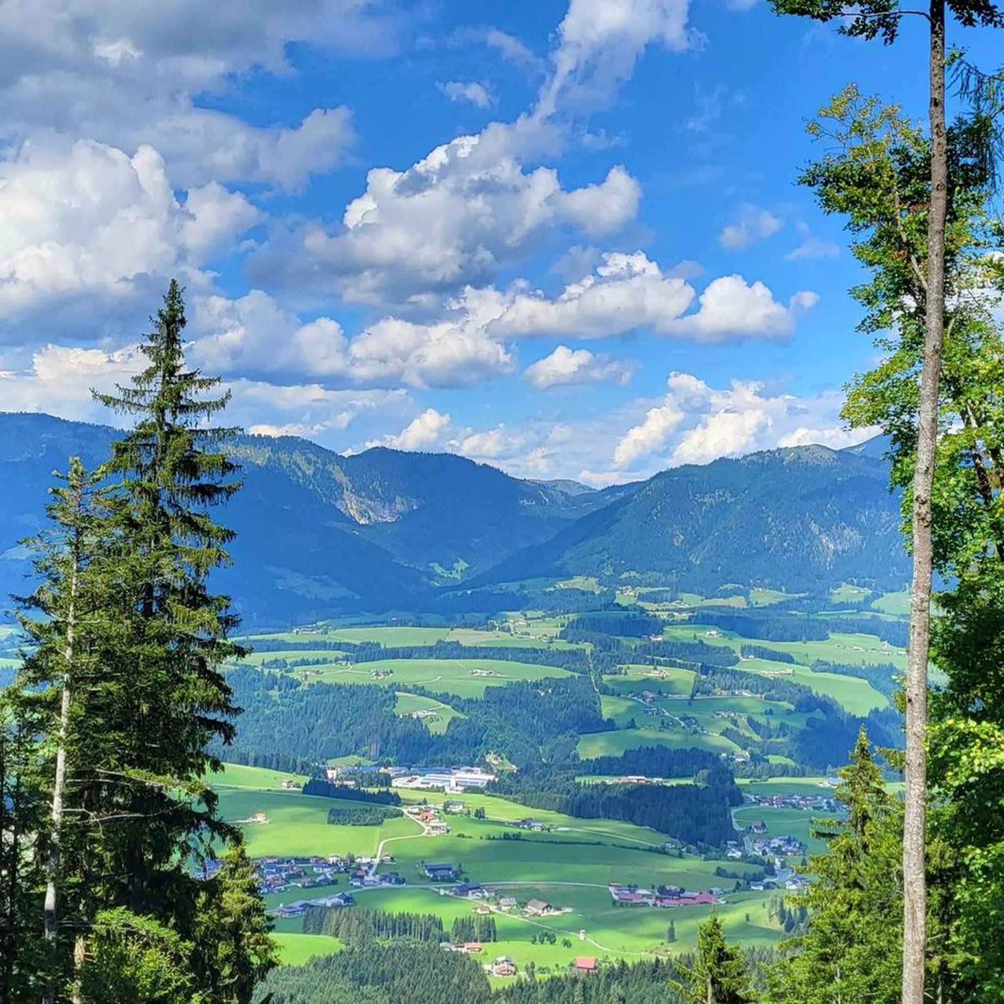
Touring cycling in Frauenloch, situated in Salzburg, Austria, offers routes through a mountainous landscape at an elevation of 869 meters. The region is characterized by impressive mountain vistas, pristine lake districts, and river valleys, providing diverse terrain for cyclists. This area, part of the broader Salzburg region, features well-developed cycling infrastructure, including segments of long-distance routes like the Tauern Cycle Path and the Alpe Adria Cycle Path. Cyclists can expect a mix of asphalt and gravel surfaces, with options ranging…
Last updated: August 27, 2026
4.8
(11)
117
riders
39.6km
03:37
1,070m
1,070m
Hard bike ride. Very good fitness required. Mostly paved surfaces. Suitable for all skill levels.
4.5
(4)
45
riders
45.6km
03:25
720m
720m
Hard bike ride. Very good fitness required. Mostly paved surfaces. Suitable for all skill levels.

Sign up for free
4.0
(1)
17
riders
31.1km
02:46
840m
840m
Hard bike ride. Very good fitness required. Mostly paved surfaces. Suitable for all skill levels.
9
riders
48.9km
04:23
1,290m
1,290m
Hard bike ride. Very good fitness required. Mostly paved surfaces. Suitable for all skill levels.
5.0
(7)
75
riders
71.6km
05:39
1,970m
1,970m
Hard bike ride. Very good fitness required. Mostly paved surfaces. Suitable for all skill levels.
Get access to more routes and recommendations from other explorers.
Sign up for free
Already have an account?
Our route recommendations are based on thousands of hikes, rides, and runs completed by other people on komoot.
Start today with a free account
Your next adventure awaits.
Login or Signup

Tips from the Community

I think I could lie on a lounger there at the pass all day and watch the cyclists and motorcyclists. Nice how much this pass is embraced, and respect to everyone who conquers it.
0
0


beautiful alpine pasture on the MTB trail
0
0

Strobl on Lake Wolfgangsee is an excellent destination for a cycling tour. The town is located on the sunny eastern shore of the lake and is easily accessible from several directions: From St. Gilgen or St. Wolfgang, you can reach Strobl via the Wolfgangsee Cycle Path, mostly on pleasant paths with views of the water. Those starting from Bad Ischl cycle along the Ischl River and reach the lake after a leisurely stroll. In Strobl itself, you'll find a spacious lakeside promenade, a beautiful lido, and the Blinklingmoos nature reserve, which can be wonderfully combined with a short break or a tour. Strobl is not only a starting point but also a worthwhile destination for a relaxing cycling tour on Lake Wolfgangsee.
0
0
Cyclists approaching the town of Golling are greeted by the imposing Golling Castle, perched high above the town on a rock. The ascent to the town center leads through a picturesque valley of green meadows, orchards, and quiet roads, along which the Salzach River winds its way. The town is surrounded by the majestic peaks of the Tennengebirge and the Berchtesgaden Alps, which impressively frame the valley. From a relaxed bike ride, you can enjoy the diverse landscape before taking a break in the town or at the foot of the castle. From here, impressive views of the medieval fortress and the valley open up, making the visit a special experience for cyclists.
0
0
The cycle path leads through a picturesque landscape and offers cyclists diverse views of forests, meadows, and the surrounding mountains. Numerous opportunities for breaks invite you to enjoy nature and take in the views. Whether for a short ride or a longer tour, the route promises a particularly atmospheric experience amidst untouched nature.
0
0
The Toidlbach Waterfall is located directly on the Postalm road and is easily visible. The stream cascades over a striking rock face, creating an impressive natural spectacle, especially during rain or snowmelt. For cyclists on the ascent to the Postalm, the waterfall offers a welcome opportunity to pause for a moment and enjoy the natural beauty of the surrounding area.
1
0
The ascent to the Postalm from Weißenbach initially leads idyllically along the babbling Weißenbach stream, nestled in a peaceful valley. Accompanied by the sound of the water, the road climbs gently before the switchbacks and steeper sections begin after the toll booth. The stream remains a constant companion in the lower section, making the ride particularly scenic, before the expansive alpine pastures of the Postalm open up further up.
1
0
Frequently Asked Questions
How many touring cycling routes are available in Frauenloch?
Frauenloch offers a wide selection of touring cycling routes, with over 50 options available. These routes cater to various skill levels, ensuring there's a suitable ride for everyone.
What are the difficulty levels of touring cycling routes in Frauenloch?
The touring cycling routes in Frauenloch range from easy to difficult. You'll find 3 easy routes perfect for a relaxed ride, 15 moderate routes for those seeking a bit more challenge, and 33 difficult routes for experienced cyclists looking for a demanding adventure.
What kind of terrain can I expect on touring cycling routes around Frauenloch?
Touring cycling in Frauenloch features diverse terrain, from well-maintained asphalt paths to gravel sections. The region is characterized by mountainous landscapes, pristine lake districts, and river valleys, offering a mix of relatively flat sections and more challenging, hilly portions.
What do other cyclists say about touring cycling in Frauenloch?
The touring cycling routes in Frauenloch are highly rated by the komoot community, with an average score of 4.7 stars from over 200 reviews. Cyclists often praise the impressive mountain vistas, clear mountain lakes, and the varied terrain that makes for engaging rides.
When is the best time of year for touring cycling in Frauenloch?
The best time for touring cycling in Frauenloch is typically during the warmer months, from late spring to early autumn. During this period, the weather is generally favorable, and the mountainous landscapes, lake districts, and river valleys are at their most picturesque.
Are there any circular touring cycling routes in Frauenloch?
Yes, many touring cycling routes in Frauenloch are designed as loops, allowing you to start and end your journey in the same location. An example is the challenging Kleinedt Alpe – Zeishofalm loop from Abtenau, which offers significant elevation gain through alpine scenery.
Are there family-friendly touring cycling routes in Frauenloch?
While Frauenloch's terrain is largely mountainous, there are easier routes suitable for families. Look for routes categorized as 'easy' to find paths with less elevation gain and more manageable distances, often found along river valleys or around lake districts.
What natural features or viewpoints can I see along the touring cycling routes?
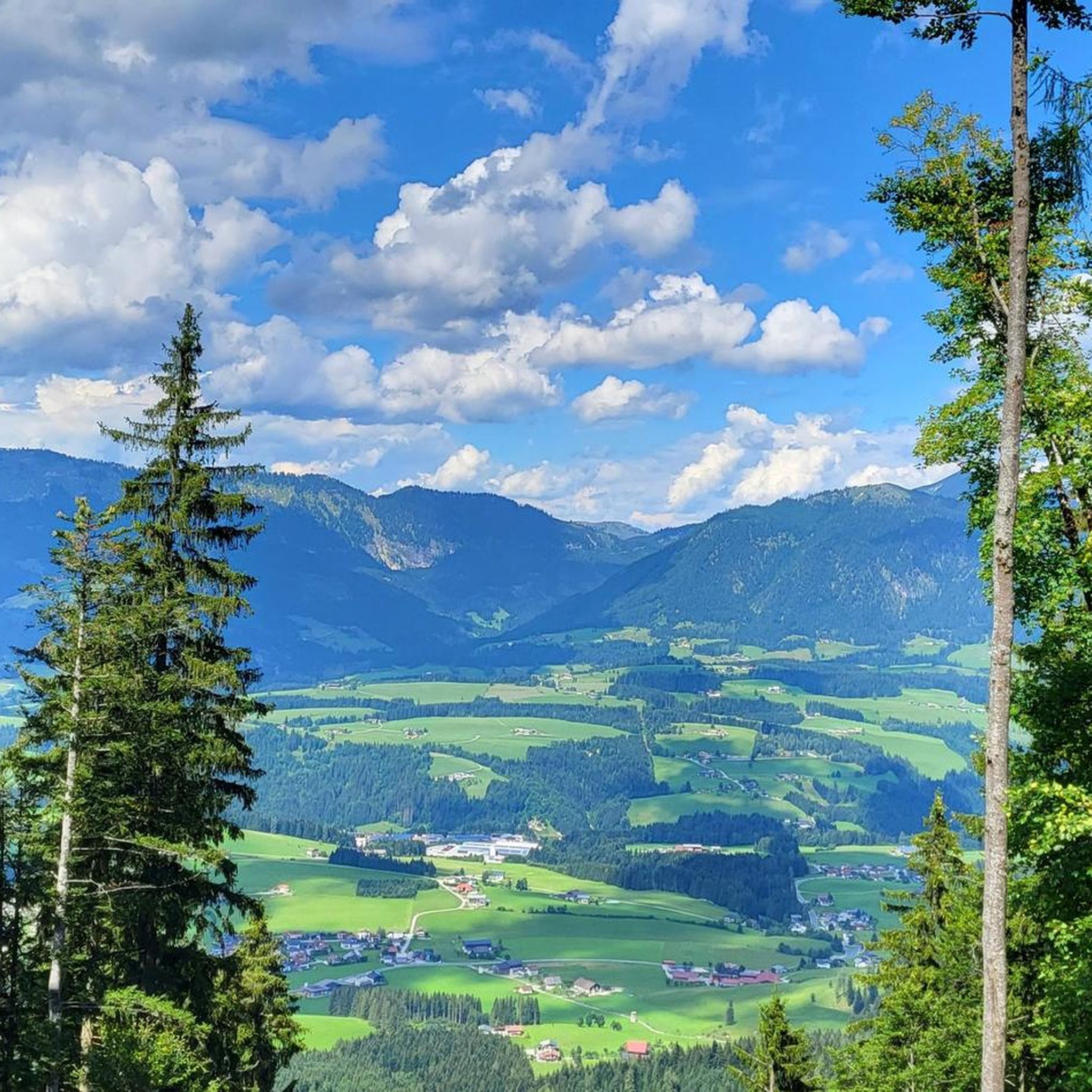
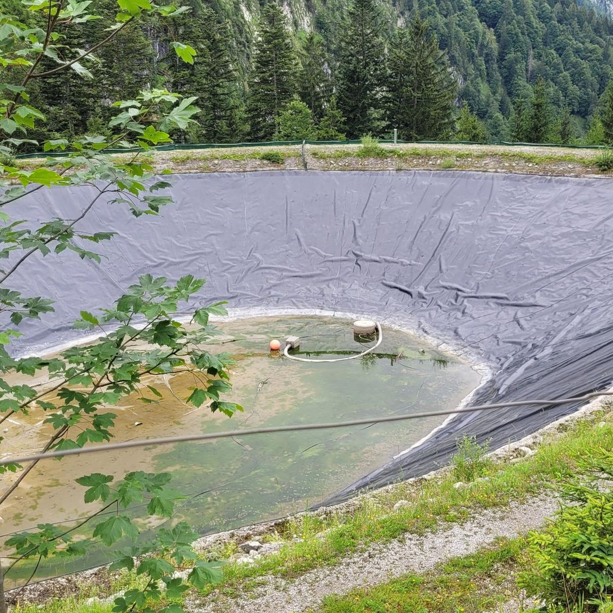
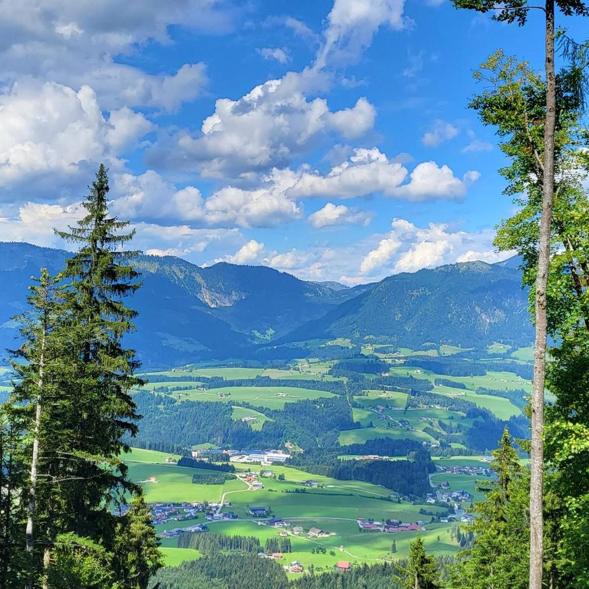
Frauenloch's touring cycling routes offer stunning natural features and viewpoints. You can discover highlights such as the Pond With Mountain Panorama, offering serene views, or the expansive Panoramic View of the Salzburg Alps. Many routes also pass by clear mountain lakes and river valleys.
Are there any waterfalls accessible by touring bike in Frauenloch?
Yes, you can encounter beautiful waterfalls near touring cycling routes in Frauenloch. Consider visiting the impressive Dachser Waterfall or the scenic Tricklfall Falls, both of which are accessible and make for great stops during your ride.
Are there routes that pass by historical landmarks or cultural sites?
Yes, some touring cycling routes in the Frauenloch area incorporate historical landmarks. For instance, the difficult View of the Tennengebirge – Golling Castle loop from Abtenau provides expansive mountain views and passes by historic sites like Golling Castle, offering a blend of nature and culture.
Is public transport available to access touring cycling routes in Frauenloch?
Frauenloch is part of the broader Salzburg region, which has a well-developed public transport network. While specific access points vary by route, regional buses and trains often connect to towns near popular cycling paths, making it possible to reach starting points without a car.
Where can I park my car when starting a touring cycling route in Frauenloch?
Parking facilities are generally available in the towns and villages that serve as common starting points for touring cycling routes in the Frauenloch area, such as Abtenau. Look for designated parking areas near trailheads or in town centers.
What are some challenging touring cycling routes for experienced riders?
Experienced riders seeking a challenge will find plenty of difficult routes in Frauenloch. The Goiserer Hut – Iglmoos Alpine Hut loop from Abtenau is a demanding 48.3 km route with significant elevation gain, perfect for those looking for an intense ride through alpine terrain.
Are there places to stop for refreshments along the routes?
Yes, many touring cycling routes in Frauenloch pass by traditional snack stations or huts where you can take a break and refuel. The Kohlhof snack station is one such spot, offering refreshments amidst your ride.
Most popular routes in Frauenloch
Most popular attractions in Frauenloch

Get inspired with the komoot mobile app


Explore more
Browse the best Cycling routes in other regions.
