The best road cycling routes in Buchbergriedel
4.4
(32)
799
riders
19
rides
Road cycling routes in Buchbergriedel traverse a landscape characterized by forested hills, river valleys, and mountain passes in the vicinity of Bezirk Hallein. The terrain features varied elevations, including climbs to scenic viewpoints and descents along riverside roads. This region offers a mix of challenging ascents and moderate routes suitable for road cyclists.
Best road cycling routes in Buchbergriedel
- The most popular road cycling route is View of Lammertal – Lammer Riverside Road loop from Annaberg Strub, a 43.9…
Last updated: May 20, 2026
4.7
(3)
76
riders
71.1km
03:10
690m
690m
Moderate road ride. Good fitness required. Mostly well-paved surfaces and easy to ride.
4.0
(1)
31
riders
45.9km
02:30
950m
950m
Hard road ride. Very good fitness required. Mostly well-paved surfaces and easy to ride.

Sign up for free
5.0
(2)
48
riders
50.2km
02:52
1,140m
1,140m
Hard road ride. Very good fitness required. Mostly well-paved surfaces and easy to ride.
20
riders
Moderate road ride. Good fitness required. Mostly well-paved surfaces and easy to ride.
4.0
(1)
13
riders
Moderate road ride. Good fitness required. Mostly well-paved surfaces and easy to ride.
Get access to more routes and recommendations from other explorers.
Sign up for free
Already have an account?
Our route recommendations are based on thousands of hikes, rides, and runs completed by other people on komoot.
Start today with a free account
Your next adventure awaits.
Login or Signup
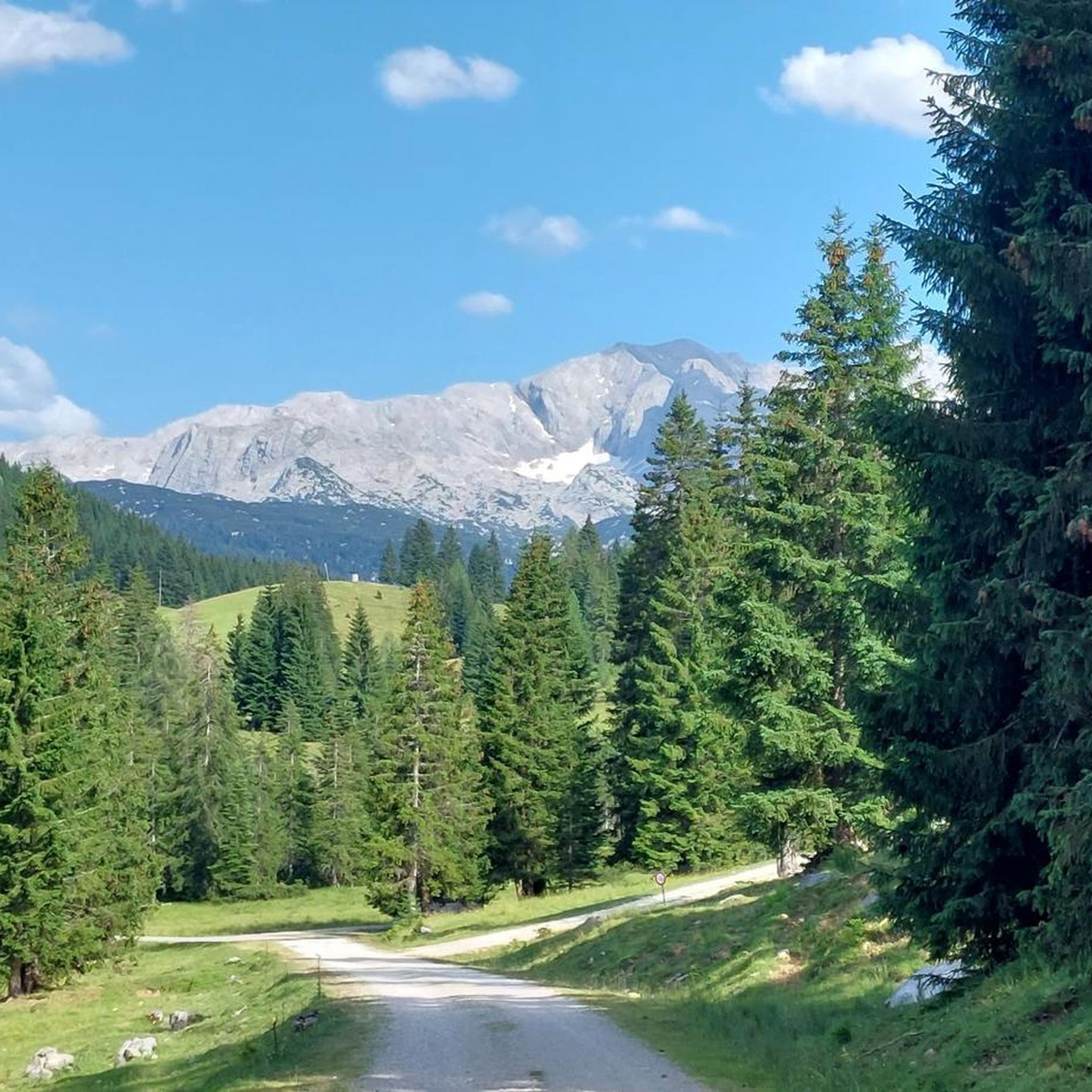
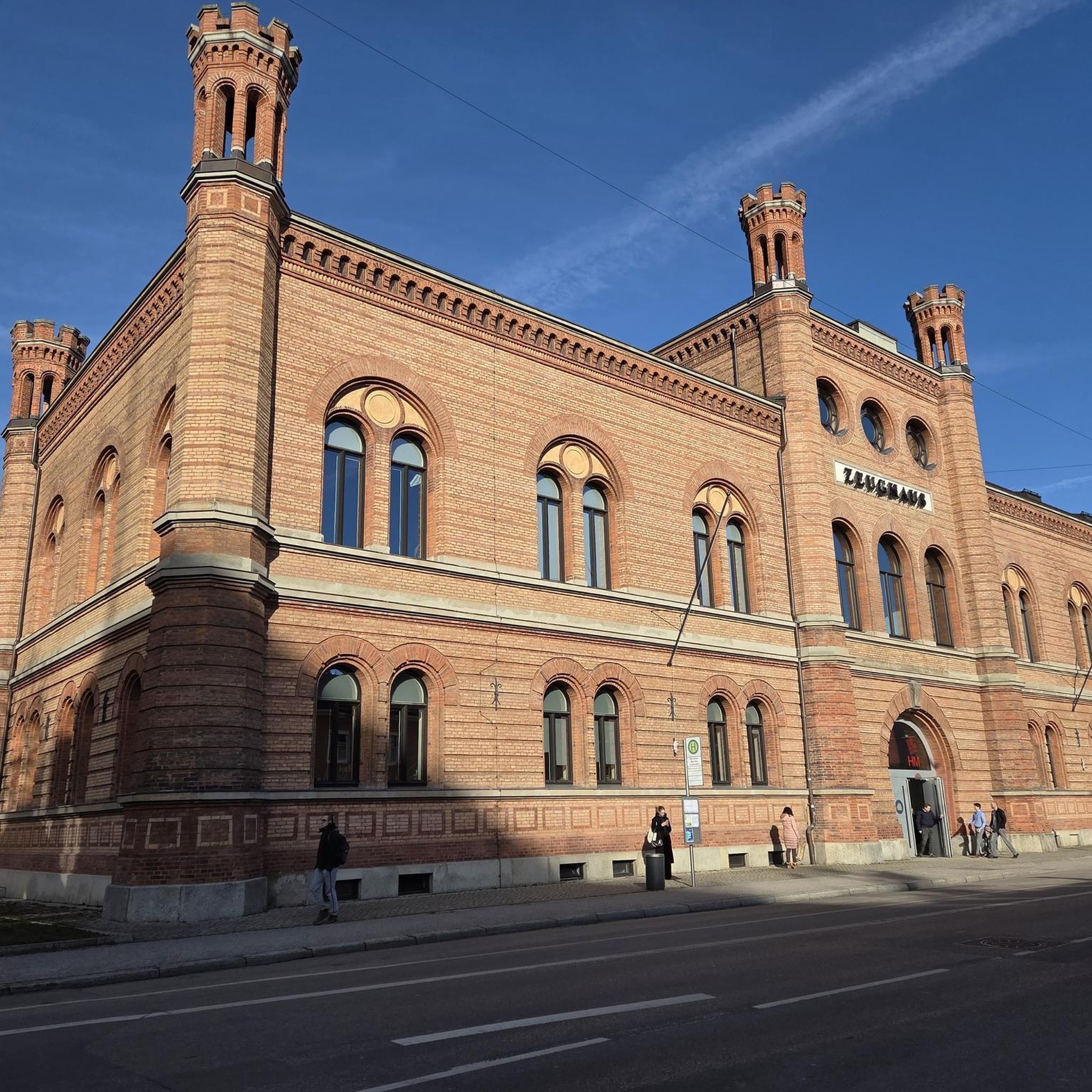
Tips from the Community


The Teufelsgraben Waterfall impresses with its wild power and rushing water – a spectacular natural spectacle that should not be missed.
0
0

The garden setting invites you to pause for a moment.
0
0


Beautiful little town, many guesthouses and beautiful cycling routes
0
0
Great region for biking
0
0
Frequently Asked Questions
What kind of terrain can I expect on road cycling routes in Buchbergriedel?
Road cycling routes in Buchbergriedel traverse a diverse landscape featuring forested hills, river valleys, and mountain passes. You'll encounter varied elevations, including challenging climbs to scenic viewpoints and more moderate descents along riverside roads, particularly in the vicinity of Bezirk Hallein.
How many road cycling routes are available in Buchbergriedel?
There are nearly 20 road cycling routes available in Buchbergriedel, offering a range of options for different skill levels and preferences. The komoot community has explored these routes over 780 times.
Are there any easy road cycling routes suitable for beginners in Buchbergriedel?
Yes, Buchbergriedel offers routes suitable for beginners. There are 2 easy routes, and 12 moderate routes that provide a good balance of challenge and accessibility, often following river valleys for a smoother experience.
What are some challenging road cycling routes in Buchbergriedel?
For experienced cyclists seeking a challenge, Buchbergriedel features 5 difficult routes. One notable challenging route is the Lake Gosau – View of Lindenthal loop from Leitenhaus, which is 28.5 miles (45.9 km) long and includes significant elevation gain as it circles Lake Gosau, offering stunning mountain views.
Are there any scenic viewpoints or landmarks along the road cycling routes?
Many routes offer scenic viewpoints, especially those with climbs. The View of Lammertal – Lammer Riverside Road loop from Annaberg Strub provides beautiful views of the Lammertal valley. Additionally, the Hotel Gutjahr****s, Abtenau – Teufelsgraben Waterfall loop from Annaberg-Lungötz passes by the Teufelsgraben Waterfall, offering a natural landmark to explore.
What is the best time of year for road cycling in Buchbergriedel?
While specific seasonal data isn't provided, road cycling in regions with forested hills and mountain passes like Buchbergriedel is generally best enjoyed from late spring to early autumn (May to October), when the weather is milder and roads are clear of snow and ice. Always check local weather conditions before heading out.
Are there any long-distance road cycling options in Buchbergriedel?
Yes, for those looking for longer rides, routes like the View of Lammertal – Lammer Riverside Road loop from Annaberg Strub cover 43.9 miles (70.6 km), providing an extensive journey through the region's varied landscapes.
What do other road cyclists enjoy most about road cycling in Buchbergriedel?
The area is highly rated by the komoot community, with an average score of 4.4 stars from over 29 reviews. Cyclists often praise the varied terrain, which includes both challenging climbs and pleasant riverside rides, as well as the scenic beauty of the river valleys and mountain views.
Are there any loop trails for road cycling in Buchbergriedel?
Yes, many of the road cycling routes in Buchbergriedel are designed as loops, allowing you to start and end at the same point. Examples include the View of Lammertal – Lammer Riverside Road loop from Annaberg Strub and the Lammer Riverside Road – View of Lammertal loop from Annaberg im Lammertal.
What kind of elevation gain can I expect on road cycling routes in Buchbergriedel?
Elevation gain varies significantly across routes. Moderate routes might have around 400-700 meters of ascent, while difficult routes, such as the Lammer Riverside Road – View of Lammertal loop from Annaberg im Lammertal, can feature over 1100 meters of elevation gain, providing substantial climbing challenges.
Are there routes that pass through specific natural features?
Yes, routes often highlight natural features. For instance, the Lake Gosau – View of Lindenthal loop from Leitenhaus circles Lake Gosau, offering picturesque views of the lake and surrounding mountains. The region itself is characterized by forested hills and river valleys, providing a natural backdrop for your ride.
Most popular routes in Buchbergriedel

Get inspired with the komoot mobile app


Explore more
Browse the best Road cycling routes in other regions.
