The best running trails in Wenger Wald
4.3
(280)
8,401
runners
370
runs
Jogging in Wenger Wald offers a diverse range of routes, traversing both urban areas and natural landscapes. The region features river valleys, such as the Bluntautal, and notable rock formations like those found near Tauglbach. While the terrain is generally gentle, with most routes featuring modest elevation gains, there are options for more challenging runs. This area provides a mix of open paths and routes that pass through local town centers.
Best jogging routes in Wenger Wald
- The most popular…
Last updated: May 20, 2026
28
runners
9.91km
01:04
90m
90m
Moderate run. Good fitness required. Mostly paved surfaces. Suitable for all skill levels.
22
runners
17.2km
01:47
110m
110m
Hard run. Very good fitness required. Mostly paved surfaces. Suitable for all skill levels.

Sign up for free
18
runners
Hard run. Very good fitness required. Mostly paved surfaces. Suitable for all skill levels.
15
runners
14.2km
01:30
90m
90m
Moderate run. Good fitness required. Mostly paved surfaces. Suitable for all skill levels.
11
runners
Moderate run. Good fitness required. Mostly paved surfaces. Suitable for all skill levels.
Get access to more routes and recommendations from other explorers.
Sign up for free
Already have an account?
Our route recommendations are based on thousands of hikes, rides, and runs completed by other people on komoot.
Start today with a free account
Your next adventure awaits.
Login or Signup
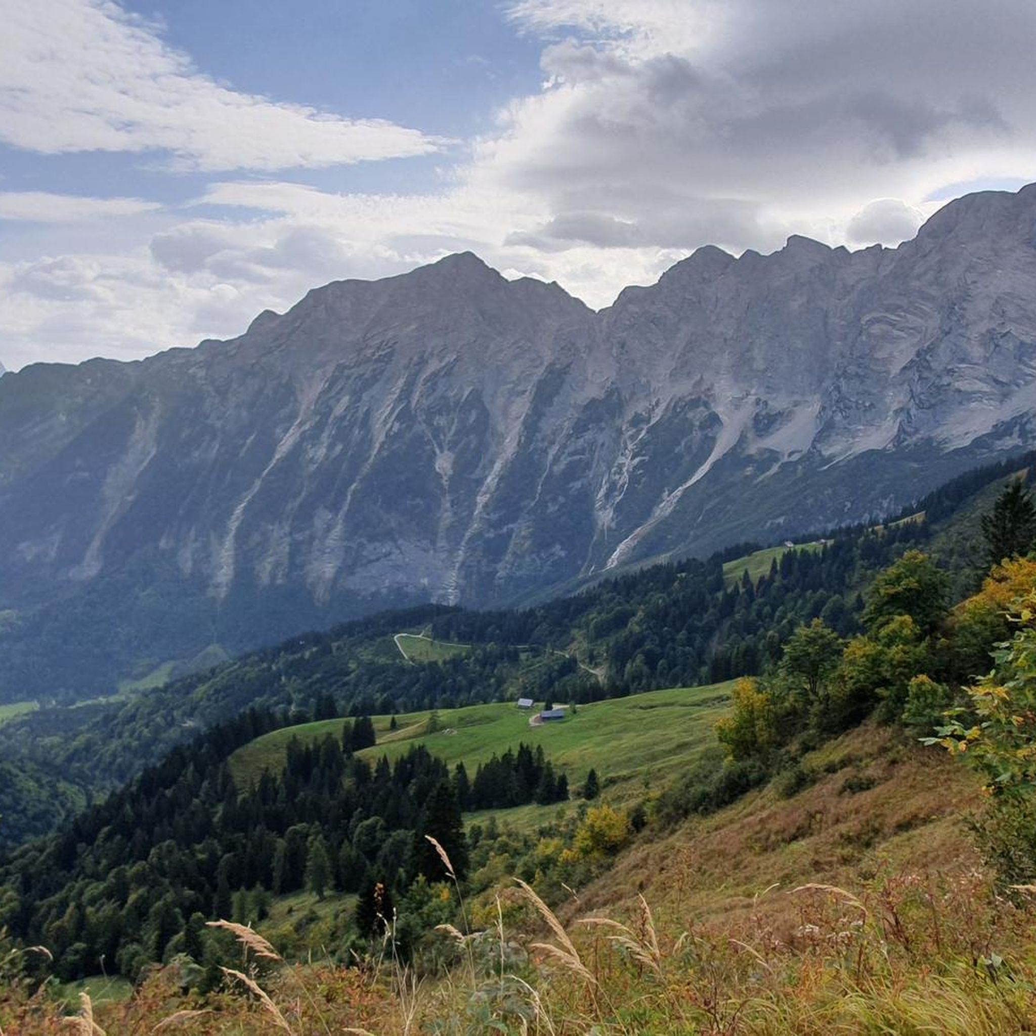
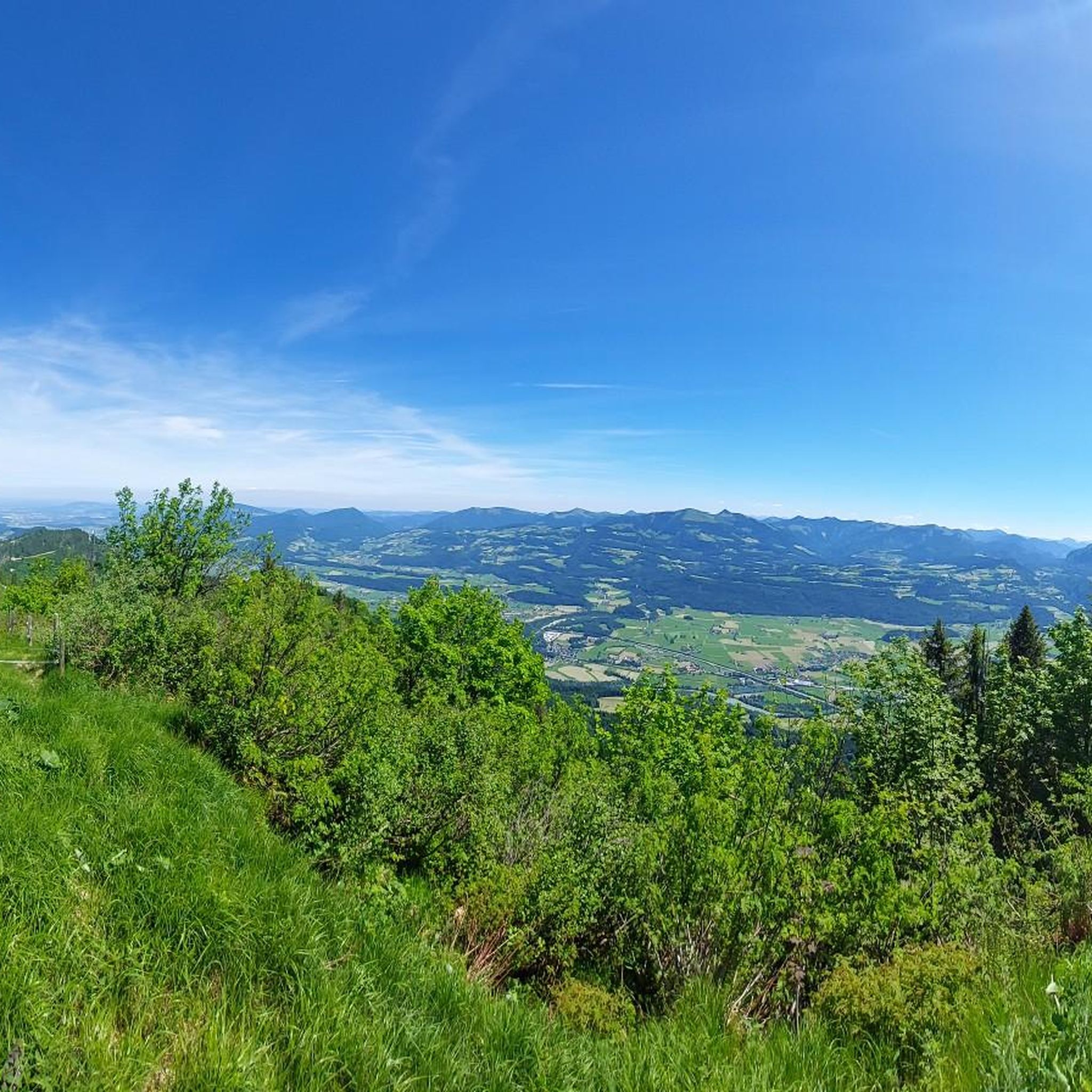
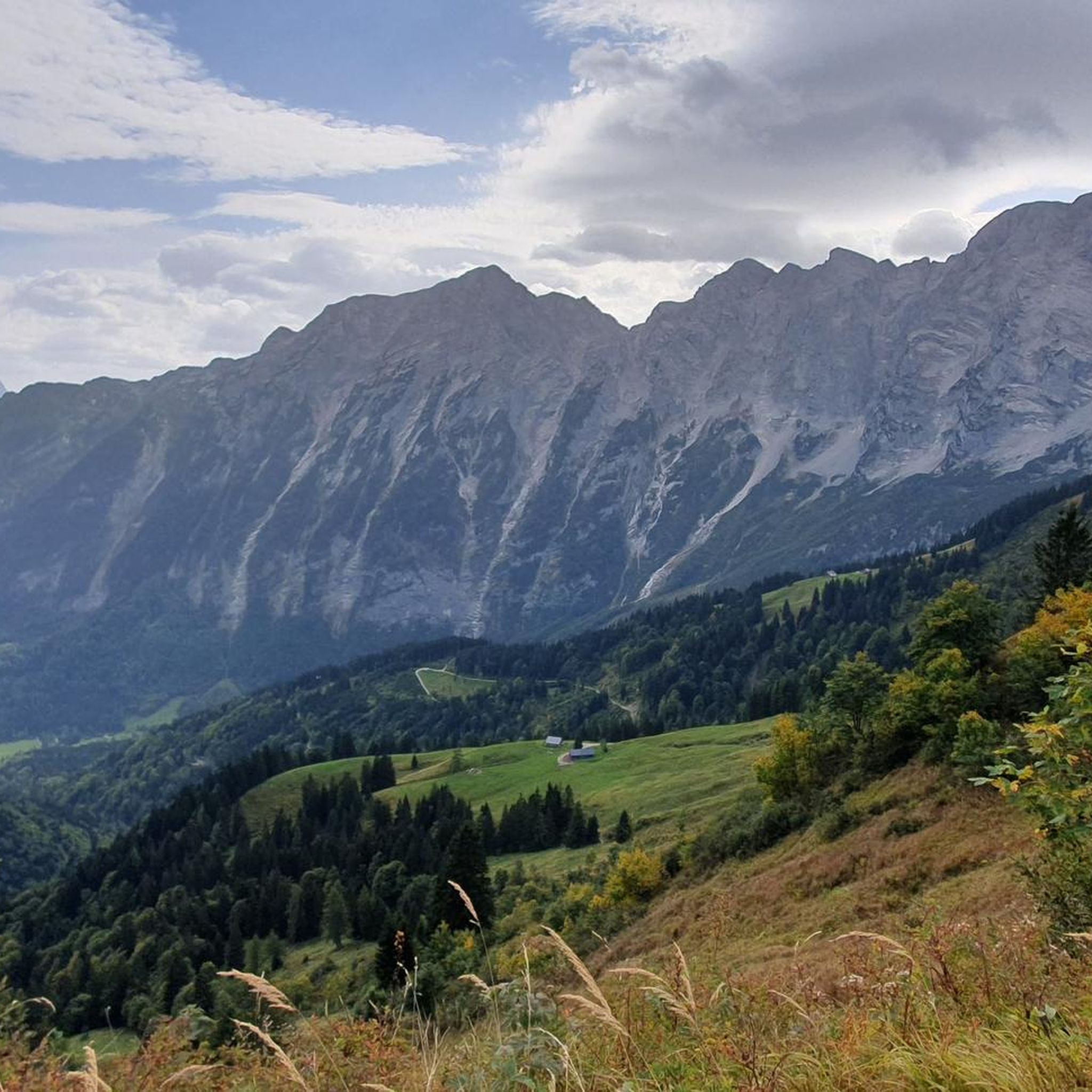
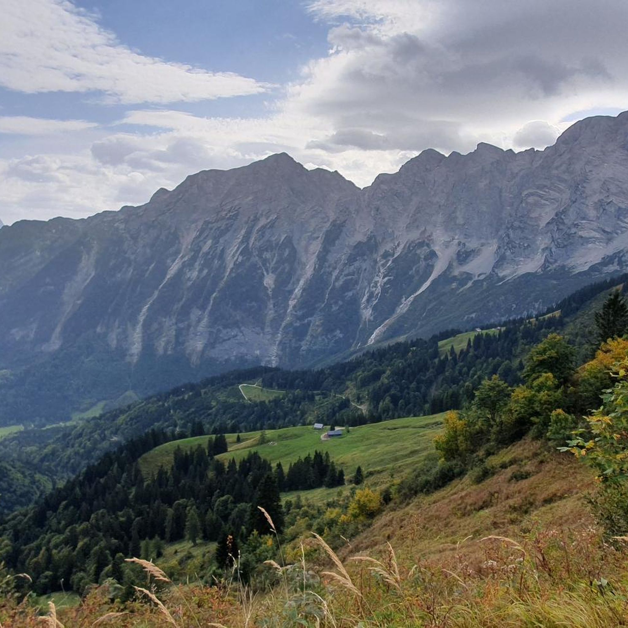

Tips from the Community


The fortress, whose construction began in 1077, sits 506 meters above the old town. It offers a breathtaking panoramic view over the city's rooftops. Visitors can reach the fortress either on foot (about 10 minutes) or by funicular railway.
2
0

beautiful panoramic views over the old town and the fortress
0
0

The inns and guest gardens are worth seeing.
0
0

Another highlight from user 'Peter F.' offers a very similar perspective of the Hohensalzburg Fortress, perched high on the cliff above the city (if you're interested, see =>> https://www.komoot.com/de-de/highlight/6499548 ). The night shots he uploaded there demonstrate in a completely different, very impressive way how the imposing structure shapes the cityscape, viewed from the riverbank.
1
1

Kuchl is a worthwhile destination for a bike tour. The route leads through a diverse landscape with mountains, rivers, and idyllic villages. Once in town, cozy cafés and lovely squares invite you to linger. The tranquil surroundings and impressive natural surroundings make Kuchl an ideal stopover or destination for cycling enthusiasts. In addition to its beautiful scenery, Kuchl also offers several places worth seeing. Of particular note is the Georgenberg hill with its historic church, which offers sweeping views of the Salzach Valley. The Kuchl Museum offers insights into the region's history and crafts. The parish church of St. Jakobus in the town center is also worth a visit. Those who enjoy nature will find cycling and walking trails along the Salzach River with impressive views of the Tennengebirge mountains.
1
0

A little further on is the entrance to this water paradise. So pack your swimsuit and take your little sister. Of course, only in the right weather.
1
0

A beautiful sight
1
0
Frequently Asked Questions
How many running routes are available in Wenger Wald?
Wenger Wald offers a wide selection of running routes, with over 370 trails available for you to explore. These range from easy paths to more challenging runs.
Are there easy running routes for beginners in Wenger Wald?
Yes, Wenger Wald has a good number of easy running routes suitable for beginners. There are approximately 40 routes classified as easy, offering gentle terrain and modest elevation gains.
Where can I find more challenging running routes in Wenger Wald?
For those seeking a challenge, Wenger Wald features over 100 difficult running routes. One such route is the Bluntautal Valley – Arm Bath at Homad loop from Kuchl, which covers 10.7 miles (17.2 km) with moderate elevation changes.
What are the typical distances and elevation gains for running routes in Wenger Wald?
The running routes in Wenger Wald vary significantly. For example, the Kuchl Town Center loop from Kuchl is about 6.2 miles (9.9 km) with around 90 meters of elevation gain. Longer routes like the View of Hohensalzburg Fortress – Hohensalzburg Fortress loop from Kuchl can extend to over 36 miles (58 km) with around 186 meters of elevation.
Are there running routes in Wenger Wald with scenic viewpoints?
Yes, you can find routes that offer scenic views. For instance, the region features viewpoints like the Rossfeld Panorama Road Viewpoint and the Northern Alps panorama along the Salzach, which can be incorporated into your runs for breathtaking vistas.
Are there circular running trails in Wenger Wald?
Many of the running routes in Wenger Wald are designed as loops, offering convenient circular trails. Examples include the popular Tauglbach Rock Formations – Roman or Devil’s Bridge loop from Kuchl and the Roman or Devil’s Bridge – Tauglbach Rock Formations loop from Kuchl.
What can I see along the running routes in Wenger Wald?
Along the running routes, you can experience diverse landscapes including river valleys like the Bluntautal, and unique rock formations near Tauglbach. You might also encounter interesting structures such as the Steigbach Bridge.
What do other runners enjoy the most about jogging in Wenger Wald?
The komoot community highly rates the running experience in Wenger Wald, with an average score of 4.3 stars from over 270 reviews. Runners often praise the diverse terrain, which includes a mix of urban paths, river valleys, and unique rock formations, catering to various ability levels.
Is parking available near the running trails in Wenger Wald?
While specific parking details vary by route, many trails in Wenger Wald, especially those starting from town centers like Kuchl, offer accessible parking options. It's advisable to check the individual route details on komoot for precise parking information.
Can I reach the running routes in Wenger Wald by public transport?
Many running routes in Wenger Wald are accessible via public transport, particularly those that pass through or start from local town centers such as Kuchl. This allows for convenient access without needing a car.
Are dogs allowed on the running routes in Wenger Wald?
Generally, dogs are welcome on many trails in Wenger Wald, especially in natural areas. However, it's always recommended to keep them on a leash and check for any specific local regulations or signage, particularly in nature reserves or near populated areas.
Are there family-friendly running trails in Wenger Wald?
Yes, Wenger Wald offers several routes suitable for families. The terrain is generally gentle, with many paths traversing open areas or town centers, making them enjoyable for runners of all ages and fitness levels.
Most popular routes in Wenger Wald
Most popular attractions in Wenger Wald

Get inspired with the komoot mobile app


Explore more
Browse the best Running Trails & Routes in other regions.
