The best walks and hikes in Großhaager Forst
4.5
(2270)
12,232
hikers
15
hikes
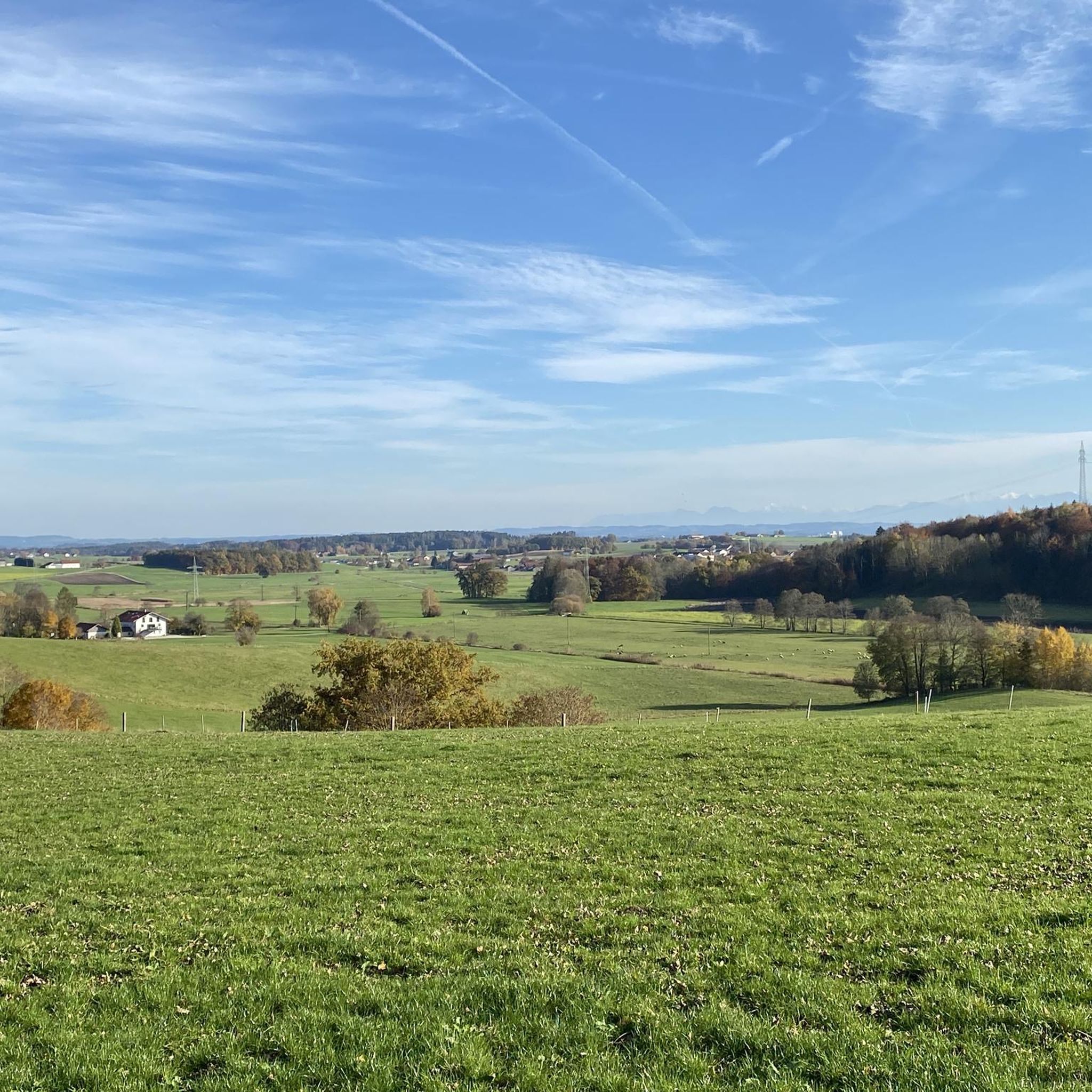
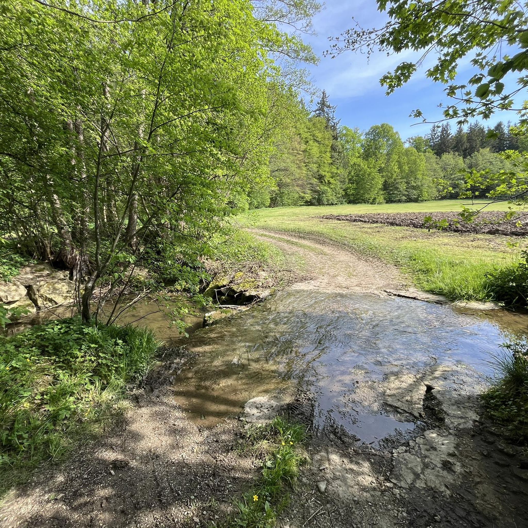
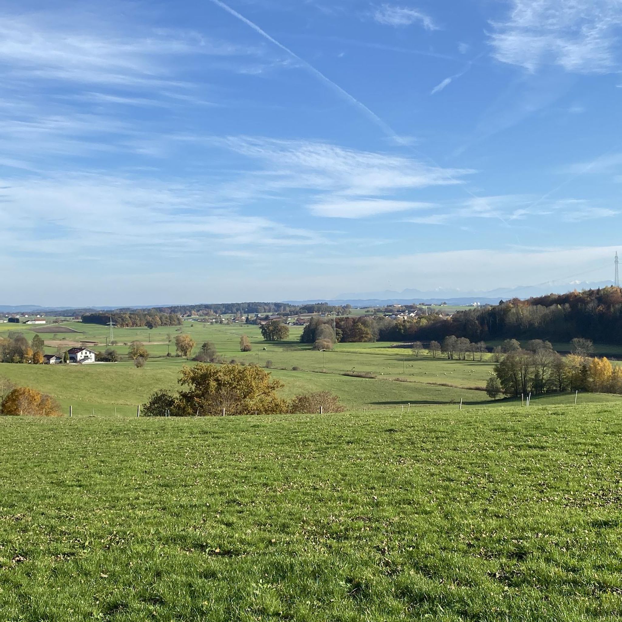
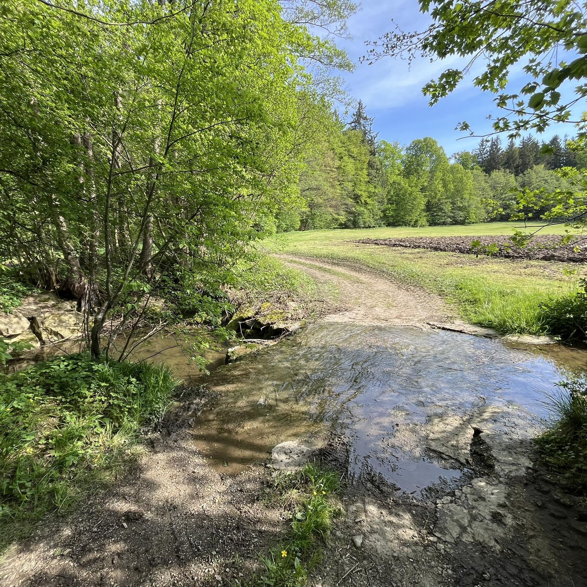
Hiking in Großhaager Forst offers diverse natural landscapes and unique geological features, making it a notable destination in the Mühldorf a.Inn district. The forest's topography is shaped by its Ice Age history, dividing it into old and young moraine areas. This results in varied terrain including rare fens, kettle holes, and various moorlands, alongside numerous ponds and lakes. It forms part of the largest continuous forest area east of Munich.
Best hiking trails in Großhaager Forst
- The most popular hiking…
Last updated: June 28, 2026
7
hikers
3.99km
01:03
30m
30m
Easy hike. Great for any fitness level. Easily-accessible paths. Suitable for all skill levels.
3
hikers
Moderate hike. Good fitness required. Easily-accessible paths. Suitable for all skill levels.

Sign up for free
3
hikers
4.75km
01:13
20m
20m
Easy hike. Great for any fitness level. Easily-accessible paths. Suitable for all skill levels.
5
hikers
4.61km
01:14
50m
50m
Easy hike. Great for any fitness level. Easily-accessible paths. Suitable for all skill levels.
5.0
(1)
4
hikers
7.28km
01:57
80m
80m
Easy hike. Great for any fitness level. Easily-accessible paths. Suitable for all skill levels.
Get access to more routes and recommendations from other explorers.
Sign up for free
Already have an account?
Our route recommendations are based on thousands of hikes, rides, and runs completed by other people on komoot.
Start today with a free account
Your next adventure awaits.
Login or Signup
Tips from the Community

Part of the documentary "Battle of Hohenlinden"
1
0

Beautiful church in a beautiful landscape = 👍🏻
2
0

Steinmännchen, also called Steinmänner, Steinmandl, Steinmanderl or stone doves, are stones stacked on top of one another in the form of small hills or turrets. They are an archaic form of the signpost, but are still being erected around the world today. The marking should make orientation easier, especially in rough and confusing terrain - such as mountains, high mountains, steppes and deserts. Stone men are common in all populated areas of the world. Other, often religious, customs are associated with them in different cultures. These markings are to be distinguished from sometimes similar looking barrows and cairns; in some languages (such as English or French), stone men are also referred to as cairns. This type of stone pile must also be distinguished from the so-called stone balance, which has no other purpose other than aesthetic.
1
0

Very beautiful landscape here in Maitenbeth, around the corner at the church is Gasthaus Boschner, always worth a visit, super-delicious food !!
3
0

An ancient building with a lot of charm, nicely renovated and can be visited after registration.
1
0
In this battle between Napoleonic troops and the imperial Austrian, as well as the royal Bavarian troops found on December 3, 1800 over 20,000 people their lives.
0
0

The best way to go from behind through the forest http://www.sagen.at/texte/sagen/deutschland/bayern/inntal/raubritter.html
1
0
Frequently Asked Questions
What kind of terrain can I expect when hiking in Großhaager Forst?
Großhaager Forst features a diverse landscape shaped by the Ice Age, dividing it into old and young moraine areas. You'll encounter varied topography, including remnants of rare fens, numerous kettle holes, and various types of moorlands. The trails often lead through extensive forest areas, with some routes offering gentle gradients and others, like the segment from Hohenlinden to Mittbach, presenting more challenging climbs.
Are there any easy or family-friendly hiking options in Großhaager Forst?
Yes, Großhaager Forst is well-suited for easy and family-friendly excursions. Many trails are accessible and suitable for all fitness levels. For example, the Hans Müller Memorial loop from Großhaager Forst is an easy 4.6 km route that provides a pleasant walk through the forest.
What natural features or landmarks can I see while hiking in Großhaager Forst?
The forest is rich in unique natural features, including rare fens, kettle holes, and various moorlands, as well as numerous ponds and lakes. A notable landmark is the Wayside Cross near Pfaffenberg. You might also encounter areas known for their biodiversity, such as habitats for the Bechstein's bat and other rare species.
Are there any challenging hikes available in Großhaager Forst?
While many routes are easy, there are options for those seeking more strenuous activity. A segment known for its steady gradient and scenic views is the Climb from Hohenlinden to Mittbach. This offers a more demanding experience for hikers looking for a challenge.
What do other hikers say about Großhaager Forst?
The area is highly rated by the komoot community, with an average score of 4.5 stars from over 2,000 reviews. Hikers often praise the diverse natural landscapes, the quiet woodlands, and the variety of trails suitable for different abilities. Over 11,000 visitors have used komoot to explore Großhaager Forst's varied terrain.
Are there circular hiking routes in Großhaager Forst?
Yes, Großhaager Forst offers several circular routes, which are great for exploring without retracing your steps. An example is the Hans Müller Memorial – Schimmelstein loop from Fahrnbach, an easy 7.3 km trail that allows you to experience different parts of the forest.
How many hiking trails are there in Großhaager Forst?
There are 15 hiking trails recorded in Großhaager Forst on komoot. The majority of these, 13 routes, are classified as easy, with 2 moderate trails available for those looking for a bit more challenge.
Is Großhaager Forst suitable for dog walking?
Großhaager Forst, with its extensive forest areas and varied trails, is generally suitable for dog walking. Many of the easy and moderate routes provide ample space for dogs to enjoy the natural environment. Always ensure your dog is under control and respect local wildlife and other trail users.
What is the best time of year to hike in Großhaager Forst?
Großhaager Forst offers enjoyable hiking experiences throughout the year. Spring brings fresh greenery and blooming fens, while summer provides lush forest cover. Autumn transforms the landscape with vibrant colors, and winter can offer peaceful, snow-dusted trails. The best time depends on your preference for weather and scenery.
Are there any hidden gems or unique natural habitats to discover?
Absolutely. Großhaager Forst is considered one of the most valuable natural treasures in the Mühldorf a.Inn district. It's home to very rare habitats such as calcareous fens and calcareous spring fens, as well as a high density of kettle holes. These unique geological features support a rich biodiversity, including species like the crested newt, Bechstein's bat, and even the black stork.
What are the typical trail lengths in Großhaager Forst?
Trail lengths in Großhaager Forst vary, catering to different preferences. You can find shorter, easy walks around 4-5 km, such as the Hans Müller Memorial loop from Großhaager Forst. There are also longer, moderate routes, like the St. Agatha Church Maitenbeth – Alte Post (Old Post Office) Baierbach loop from Sankt Christoph, which is about 10.4 km.
Most popular routes in Großhaager Forst
Most popular attractions in Großhaager Forst

Get inspired with the komoot mobile app


Explore more
Browse the best Hikes in other regions.
