The best cycling routes in Unterer Weilhartforst
4.6
(3011)
20,397
riders
882
rides
Touring cycling routes in Unterer Weilhartforst traverse an expansive forest area in Upper Austria, characterized by diverse landscapes. The region features both flat and hilly terrain, with altitudes ranging between 400 and 500 meters above sea level. Extensive woodlands, primarily composed of spruce and beech trees, offer shaded paths, while natural lakes and wetlands like the Heratinger See add scenic variety. This area is also designated as a groundwater conservation area, contributing to its pristine natural state.
Best touring cycling…
Last updated: July 5, 2026
4.5
(2)
31
riders
Moderate bike ride. Good fitness required. Mostly paved surfaces. Suitable for all skill levels.
5.0
(6)
21
riders
42.3km
02:43
360m
360m
Moderate bike ride. Good fitness required. Mostly paved surfaces. Suitable for all skill levels.

Sign up for free
4.8
(42)
246
riders
54.0km
03:30
310m
310m
Moderate bike ride. Good fitness required. Mostly paved surfaces. Suitable for all skill levels.
4.0
(1)
20
riders
14.1km
01:01
170m
170m
Moderate bike ride. Good fitness required. Mostly paved surfaces. Suitable for all skill levels.
5.0
(4)
12
riders
21.0km
01:17
150m
150m
Moderate bike ride. Good fitness required. Mostly paved surfaces. Suitable for all skill levels.
Get access to more routes and recommendations from other explorers.
Sign up for free
Already have an account?
Our route recommendations are based on thousands of hikes, rides, and runs completed by other people on komoot.
Start today with a free account
Your next adventure awaits.
Login or Signup
Tips from the Community

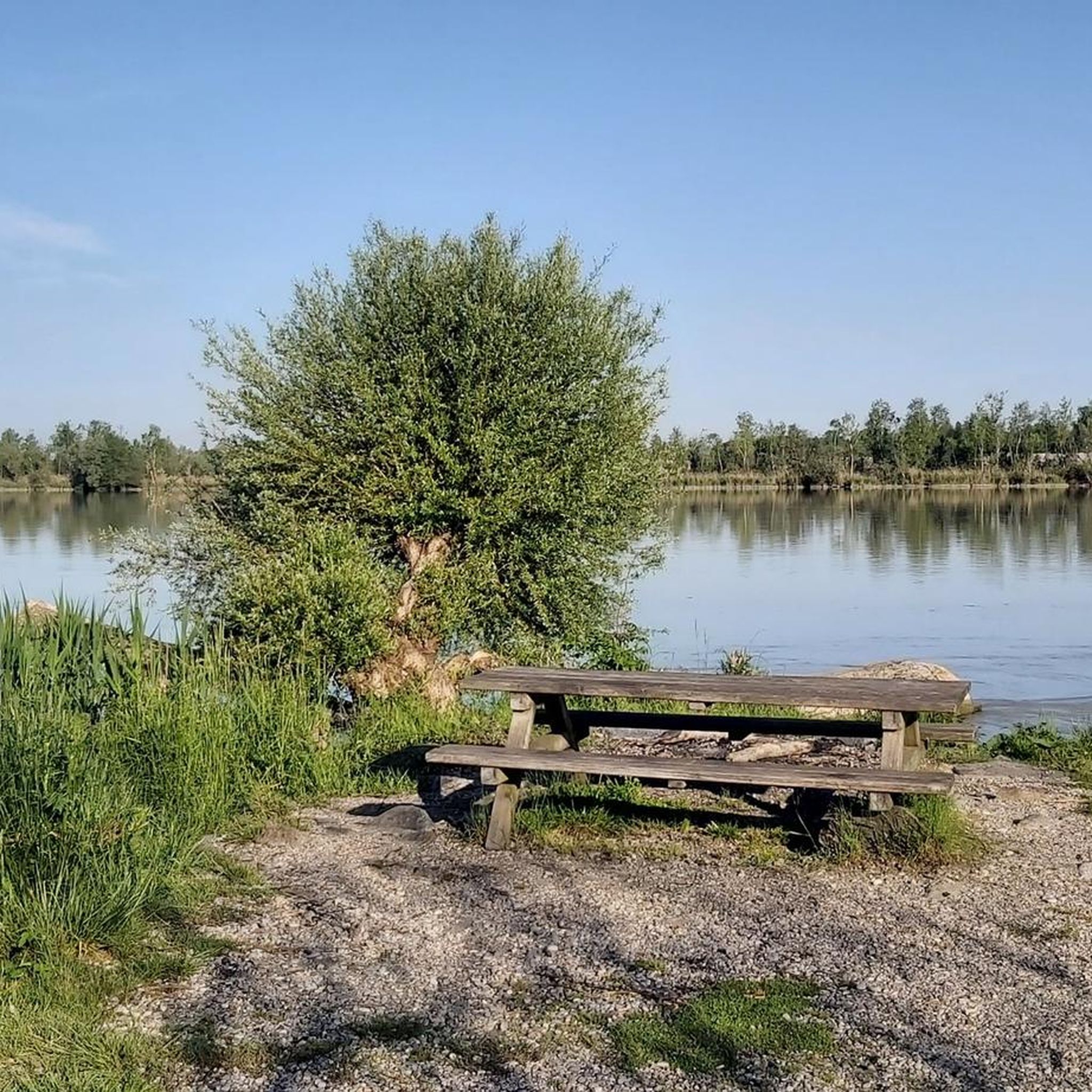
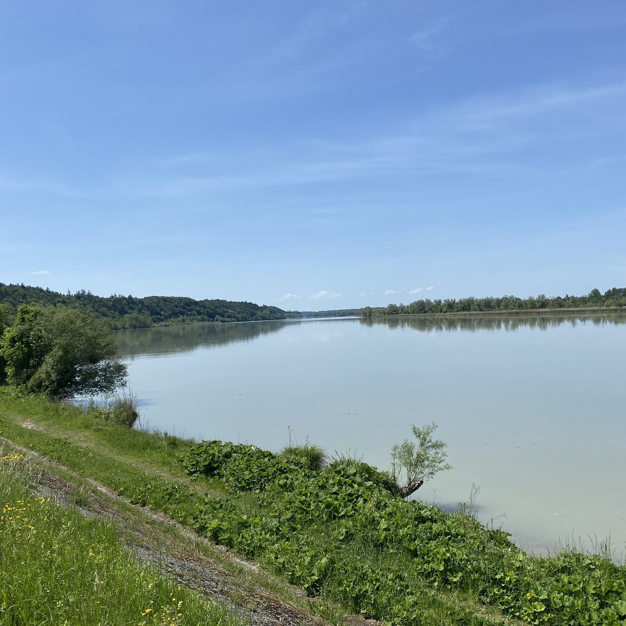
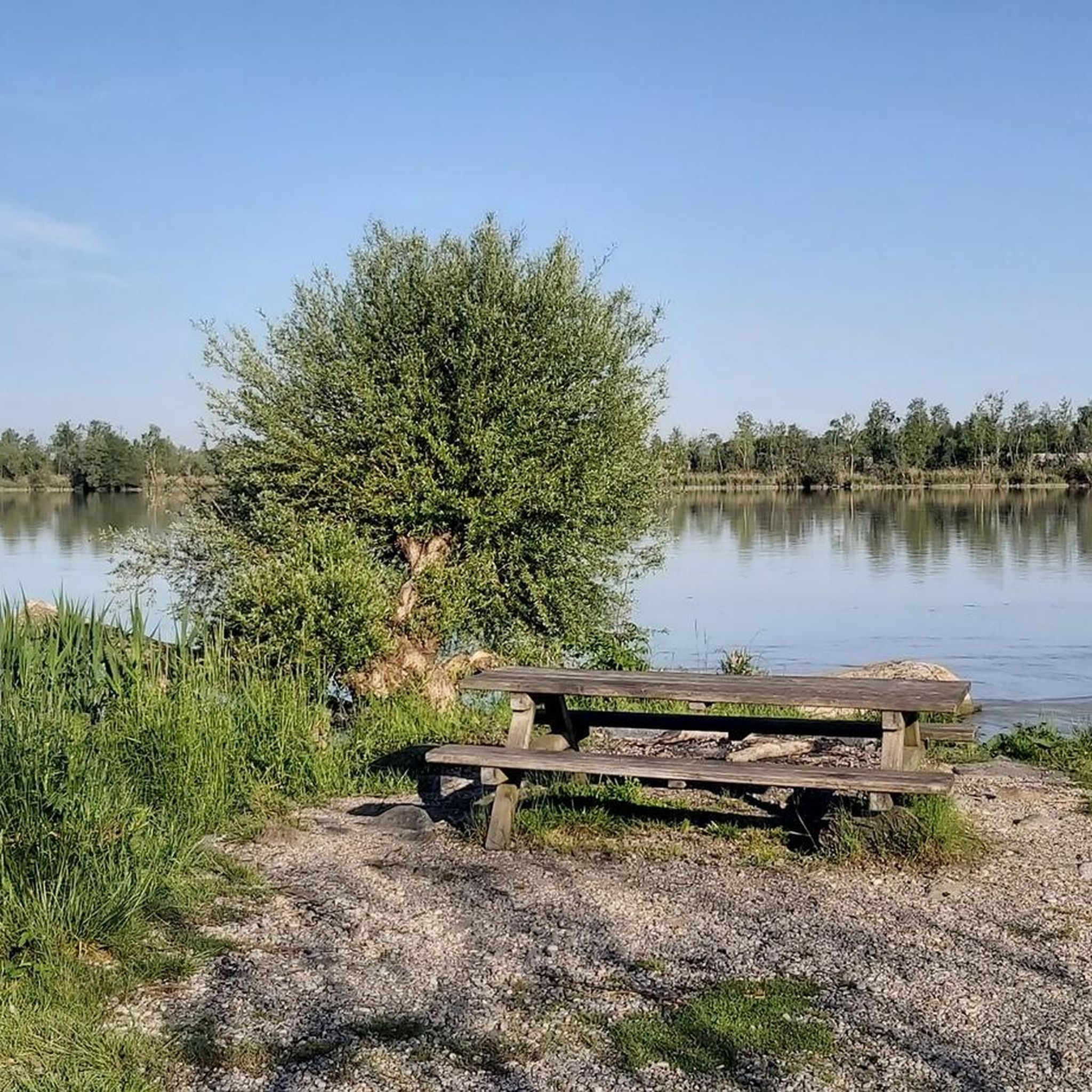
With over 100 km², the Weilharter Forst is one of the largest contiguous forest areas in Upper Austria and an absolute paradise for gravel bikers. 🌲🚴♂️ This awaits you: Surface: Thanks to the glacial moraine gravel soils, the forest paths here are extremely firm and usually super rideable even after rain. Perfect for high-speed segments! Pure nature: The forest is a huge water reservoir and provides pleasant cooling in summer – like a natural air conditioner. Topography: It is rather flat to gently hilly (highest point Adenberg approx. 531 m), which allows for relaxed kilometer collecting far away from car traffic. In this section, you will find the section from Weißplatz/Werberg towards Hochburg (or vice versa)
0
0

A rewarding view of beautiful facades.
0
0

The town hall was built in the 18th century by combining three originally separate residential plots. The western façade was redesigned as a unified structure after the merger. The core of the Gothic atrium dates from the 14th and 15th centuries, while the façade dates back to the 18th century. The building was inhabited by the noble Mautner family before being acquired by the town in 1439. The façade features the Burghausen town coat of arms, with the Bavarian heraldic symbols of diamonds and lions above it.
13
0
The Burghausen castle complex acquired its present character mainly between 1480 and 1503 during the Wittelsbach period, for whom it served as a state fortress and residence.
18
0

From Hochburg Ach a beautiful view of the longest castle in Burghausen
0
0

Bridge does not need to be used
0
0


Pub designed with great attention to detail
0
0
Frequently Asked Questions
How many touring cycling routes are available in Unterer Weilhartforst?
There are over 890 touring cycling routes in Unterer Weilhartforst, offering a wide range of options for different preferences and skill levels. Approximately 340 of these are considered easy, while over 410 are moderate, and about 140 are more challenging.
What kind of terrain can I expect on touring cycling routes in Unterer Weilhartforst?
The Unterer Weilhartforst region offers a diverse landscape for touring cyclists. You'll find a mix of flat and gently hilly terrain, with altitudes typically between 400 and 500 meters above sea level. The routes primarily lead through extensive woodlands, characterized by spruce and beech trees, providing shaded paths. You'll also encounter scenic natural lakes and wetlands, such as the Heratinger See (Ibmer See).
Are there touring cycling routes suitable for families or beginners in Unterer Weilhartforst?
Yes, Unterer Weilhartforst is well-suited for families and beginners. Over 340 of the available touring cycling routes are classified as easy, featuring gentle ascents and well-maintained paths through the tranquil forest environment. These routes allow for leisurely rides, often passing by scenic lakes and offering a pleasant experience for all ages.
What natural attractions or landmarks can I see along the touring cycling routes?
Along the touring cycling routes, you can discover several natural attractions and points of interest. The region is known for its natural small lakes and wetlands, including the Heratinger See (Ibmer See). You might also encounter the Ratzlburg Castle Excavation Site, enjoy a view of the confluence of the Inn and Salzach rivers, or explore the Franz Xaver Gruber Peace Trail in Hochburg. The Kneipp Pool Überackern – Antonius Chapel loop from Burghausen route, for example, passes by the meticulously designed Kneipp Pool in Überackern.
Are there any circular touring cycling routes in the Unterer Weilhartforst region?
Yes, many touring cycling routes in Unterer Weilhartforst are designed as circular loops, allowing you to start and end at the same point. An example is the View of the Rainbow Bridge – View of Burghausen Castle loop from Überackern, which offers scenic views and returns to your starting point. Another popular option is the Ibmer Lake (Heratinger Lake) – Heratinger Lake (Ibmer Lake) loop from Burghausen, which takes you around the beautiful lake and its surrounding wetlands.
What do other touring cyclists enjoy most about cycling in Unterer Weilhartforst?
The touring cycling routes in Unterer Weilhartforst are highly rated by the komoot community, with an average score of 4.6 stars from over 2700 reviews. Cyclists often praise the tranquil forest environment, the well-maintained and varied paths, and the scenic beauty of the lakes and wetlands. The mix of flat and gently hilly terrain also makes it enjoyable for a wide range of abilities.
Can I find routes that offer views of Burghausen Castle?
Yes, several touring cycling routes in the region offer picturesque views of Burghausen Castle, which is known as the longest castle in the world. For instance, the Burghausen Town Square – Burghausen Castle loop from Duttendorf provides excellent vistas of the castle as you cycle through varied landscapes.
What is the best time of year to go touring cycling in Unterer Weilhartforst?
The extensive woodlands of Unterer Weilhartforst, primarily composed of spruce and beech trees, offer shaded paths that are particularly ideal for cycling during warmer months. Spring and autumn also provide pleasant temperatures and beautiful scenery, with vibrant foliage or blooming nature. The well-maintained routes are generally accessible throughout the cycling season.
Are there any routes that pass by the Kneipp Pool in Überackern?
Yes, there are touring cycling routes that will take you past the Kneipp Pool in Überackern. The Kneipp Pool Überackern – Lime Tree Natural Monument loop from Burghausen is one such route, allowing you to experience this notable point of interest known for its meticulous design.
Is the Unterer Weilhartforst region part of a larger cycling network?
Yes, the Unterer Weilhartforst extends towards the Salzach River and is part of the broader Innviertel region. This connection allows for access to other natural areas and cycle paths along major rivers like the Salzach and Inn, potentially linking to a wider network of cycling opportunities beyond the immediate forest area.
What is the typical elevation gain on touring cycling routes in Unterer Weilhartforst?
The touring cycling routes in Unterer Weilhartforst feature a mix of flat and gently hilly terrain. While some routes are relatively flat, others include moderate elevation changes. For example, a route like the Ibmer Lake (Heratinger Lake) – Heratinger Lake (Ibmer Lake) loop from Burghausen involves an elevation gain of around 357 meters over its 41.8 km distance, providing a good balance of challenge and scenic riding.
Most popular routes in Unterer Weilhartforst
Most popular attractions in Unterer Weilhartforst

Get inspired with the komoot mobile app


Explore more
Browse the best Cycling routes in other regions.
