The best walks and hikes in Hörzinger Wald
4.6
(2355)
11,127
hikers
368
hikes
Hiking trails in Hörzinger Wald traverse a forested landscape in the Grieskirchen district, offering a variety of routes for outdoor enthusiasts. The region features rolling hills and dense woodlands, providing a natural setting for exploration. These Hörzinger Wald hiking routes often include ascents to local summits and paths alongside streams. The area is characterized by its natural forest environment, suitable for varied hiking experiences.
Best hiking trails in Hörzinger Wald
- The most popular hiking route is Mystical Rock Formation – Ameisberg Summit (729 m) loop from Kopfing im Innkreis, a 9.6 miles (15.4 km) trail that takes 4 hours 27 minutes to complete. This moderate route features steady climbs to the Ameisberg Summit, offering panoramic views.
- Another top favourite among local hikers is Boundary Stone of 1731 – Franzosenkreuz in Kühberg loop from Kopfing im Innkreis, a moderate 6.9 miles (11.2 km) path. This route explores historical markers and winds through forest paths, typically completed in about 3 hours 1 minute.
- Local hikers also love the Parish Church of Kopfing – Tiefenbach Stream loop from Kopfing im Innkreis, a 5.2 miles (8.4 km) trail leading through local villages and along the Tiefenbach Stream, often completed in about 2 hours 20 minutes.
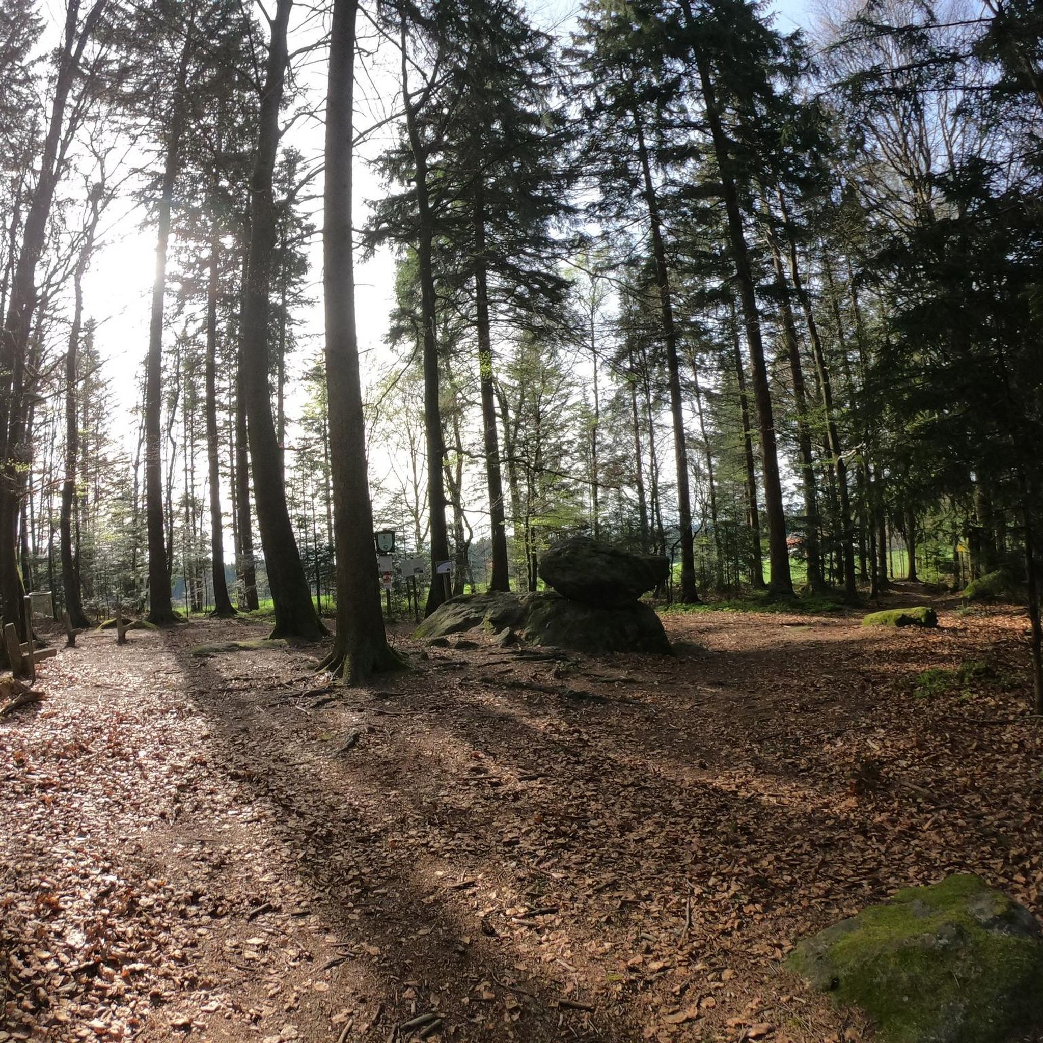
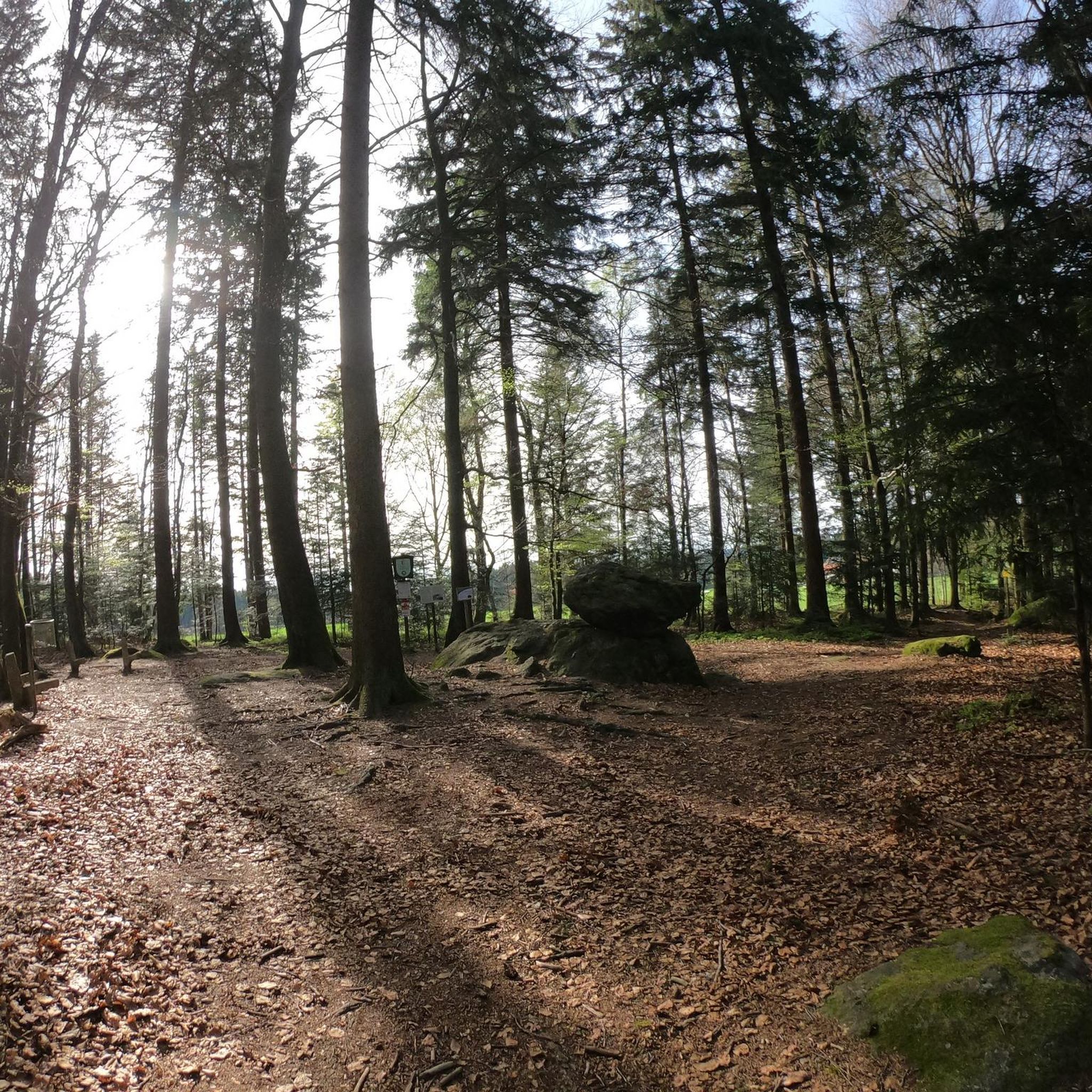
- Hiking in Hörzinger Wald is defined by dense woodlands, rolling hills, and stream-side paths. The network offers options for various ability levels, from easier walks to more challenging ascents.
- The routes in Hörzinger Wald are highly rated by the komoot community with an average score of 4.6 stars from over 2,200 reviews. More than 10,900 hikers have used komoot to explore Hörzinger Wald's varied terrain.
Last updated: May 24, 2026
4.6
(16)
66
hikers
Moderate hike. Good fitness required. Easily-accessible paths. Suitable for all skill levels.
4.9
(15)
49
hikers
Moderate hike. Good fitness required. Easily-accessible paths. Suitable for all skill levels.

Sign up for free
4.8
(5)
30
hikers
8.40km
02:21
160m
160m
Moderate hike. Good fitness required. Easily-accessible paths. Suitable for all skill levels.
5.0
(6)
26
hikers
Moderate hike. Good fitness required. Easily-accessible paths. Suitable for all skill levels.
5.0
(9)
39
hikers
Moderate hike. Good fitness required. Easily-accessible paths. Suitable for all skill levels.
Get access to more routes and recommendations from other explorers.
Sign up for free
Already have an account?
Our route recommendations are based on thousands of hikes, rides, and runs completed by other people on komoot.
Start today with a free account
Your next adventure awaits.
Login or Signup

Tips from the Community

The Roman Catholic parish church of Kopfing is located in the village of Kopfing im Innkreis in the market town of Kopfing im Innkreis in the district of Schärding in Upper Austria. The church, dedicated to the saints John the Baptist and John the Evangelist,
0
0
very beautiful chapel on the hiking trail between Neukirchendorf and Dobl
0
0
Stream without a bridge from Kimleinsdorf to Neukirchendorf (drone has an easy time crossing)
0
0
Hiking trail no. 7 Doblrund single trail from Dobl to Götzendorf
0
0
Hiking trail no. 3 Single trail to Tiefenbach in Dobl
0
0
Beautiful chapel in Dobl on hiking trail no.3 View into the country
0
0
Beautiful chapel in Neukichendorf, but unfortunately locked
0
0
Der Tiefenbach zwieschen Kimleinsdorf und Neukirchendorf
0
0
Frequently Asked Questions
How many hiking trails are available in Hörzinger Wald?
Hörzinger Wald offers a wide selection of hiking routes, with nearly 400 trails available. These range from easy strolls to more challenging ascents, ensuring options for various fitness levels.
What kind of terrain can I expect when hiking in Hörzinger Wald?
The terrain in Hörzinger Wald is characterized by dense woodlands and rolling hills. You'll find paths that traverse forests, ascend to local summits, and follow alongside streams. The region is part of the broader Bavarian Forest, known for its extensive wooded, low-mountain landscape.
Are there any easy hiking trails suitable for beginners or casual walkers?
Yes, Hörzinger Wald has plenty of options for easier walks. Out of nearly 400 routes, 171 are classified as easy, making them perfect for beginners or those looking for a relaxed outdoor experience. An example of a moderate trail that is not overly strenuous is the Parish Church of Kopfing – Tiefenbach Stream loop from Kopfing im Innkreis, which is 8.4 km long and takes about 2 hours 20 minutes.
What are some interesting natural features or landmarks to see along the trails?
Hörzinger Wald offers several points of interest. You can explore the unique Jungfraustein (Rocking Stone) Natural Monument, or discover the historical Boundary Stone of 1731. For those interested in local history, the Fliegerkreuz Memorial (Kopfing Aircraft Crash Site) is also accessible.
Are there any circular hiking routes in Hörzinger Wald?
Yes, many of the trails in Hörzinger Wald are designed as circular routes, allowing you to start and end at the same point. A popular moderate circular route is the Mystical Rock Formation – Ameisberg Summit (729 m) loop from Kopfing im Innkreis, which offers panoramic views after a steady climb.
What do other hikers say about the trails in Hörzinger Wald?
The hiking trails in Hörzinger Wald are highly regarded by the komoot community, with an average rating of 4.6 stars from over 2,200 reviews. Hikers often praise the quiet woodlands, varied terrain, and the well-maintained paths that make for an enjoyable outdoor experience.
Are there any trails that offer good viewpoints or panoramic vistas?
Absolutely. Trails that include ascents to local summits often provide rewarding views. For instance, the Mystical Rock Formation – Ameisberg Summit (729 m) loop from Kopfing im Innkreis is known for offering panoramic views from the Ameisberg Summit.
Can I find trails that follow along streams or rivers?
Yes, Hörzinger Wald features paths that lead alongside streams. The Parish Church of Kopfing – Tiefenbach Stream loop from Kopfing im Innkreis is an example of a route that takes you along the Tiefenbach Stream, offering a pleasant waterside experience.
What is the typical duration for a hike in Hörzinger Wald?
Hike durations vary widely depending on the route's length and difficulty. For example, a moderate trail like the Parish Church of Kopfing – Tiefenbach Stream loop from Kopfing im Innkreis can be completed in about 2 hours 20 minutes, while longer routes such as the Mystical Rock Formation – Ameisberg Summit (729 m) loop from Kopfing im Innkreis might take around 4 hours 27 minutes.
Are there any trails that explore historical markers?
Yes, you can find routes that incorporate historical elements. The Boundary Stone of 1731 – Franzosenkreuz in Kühberg loop from Kopfing im Innkreis is a moderate trail that specifically explores historical markers, including the Boundary Stone of 1731, as it winds through forest paths.
What is the overall character of the landscape in Hörzinger Wald?
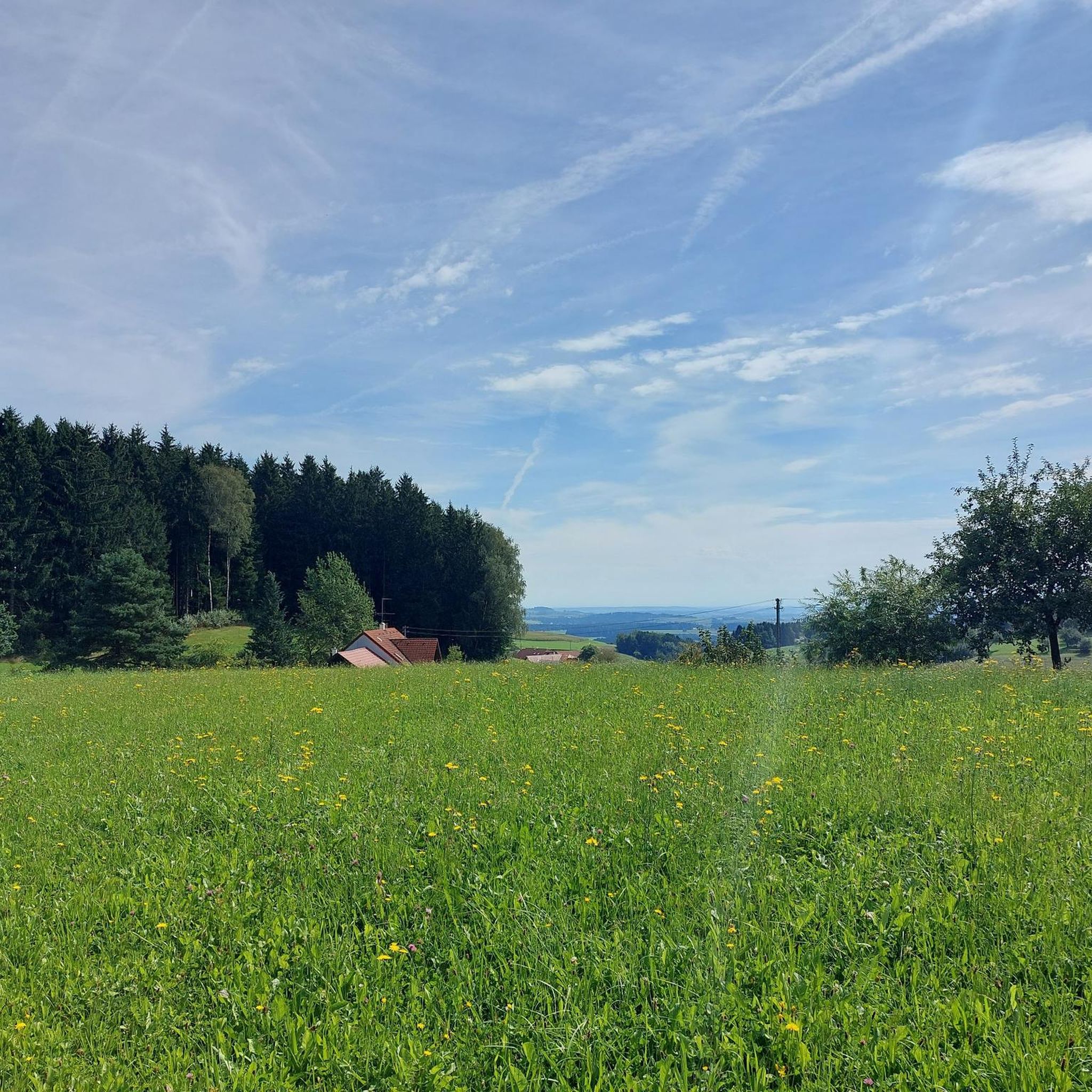
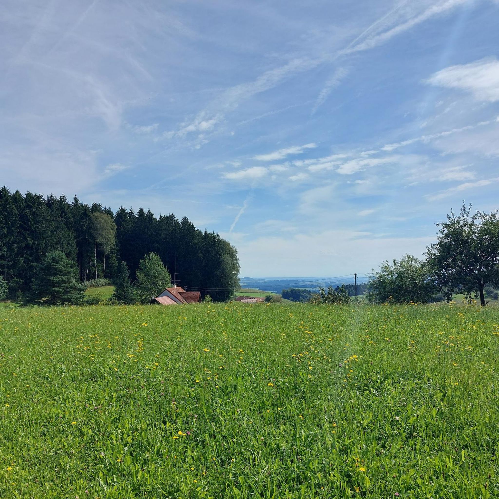
Hörzinger Wald is defined by its natural forest environment, characterized by dense woodlands and rolling hills. It offers a typical low-mountain range landscape, similar to the broader Bavarian Forest, with varied terrain suitable for immersive outdoor experiences.
Most popular routes in Hörzinger Wald
Most popular attractions in Hörzinger Wald

Get inspired with the komoot mobile app


Explore more
Browse the best Hikes in other regions.
