The best road cycling routes in Sternwald
4.7
(244)
4,820
riders
178
rides
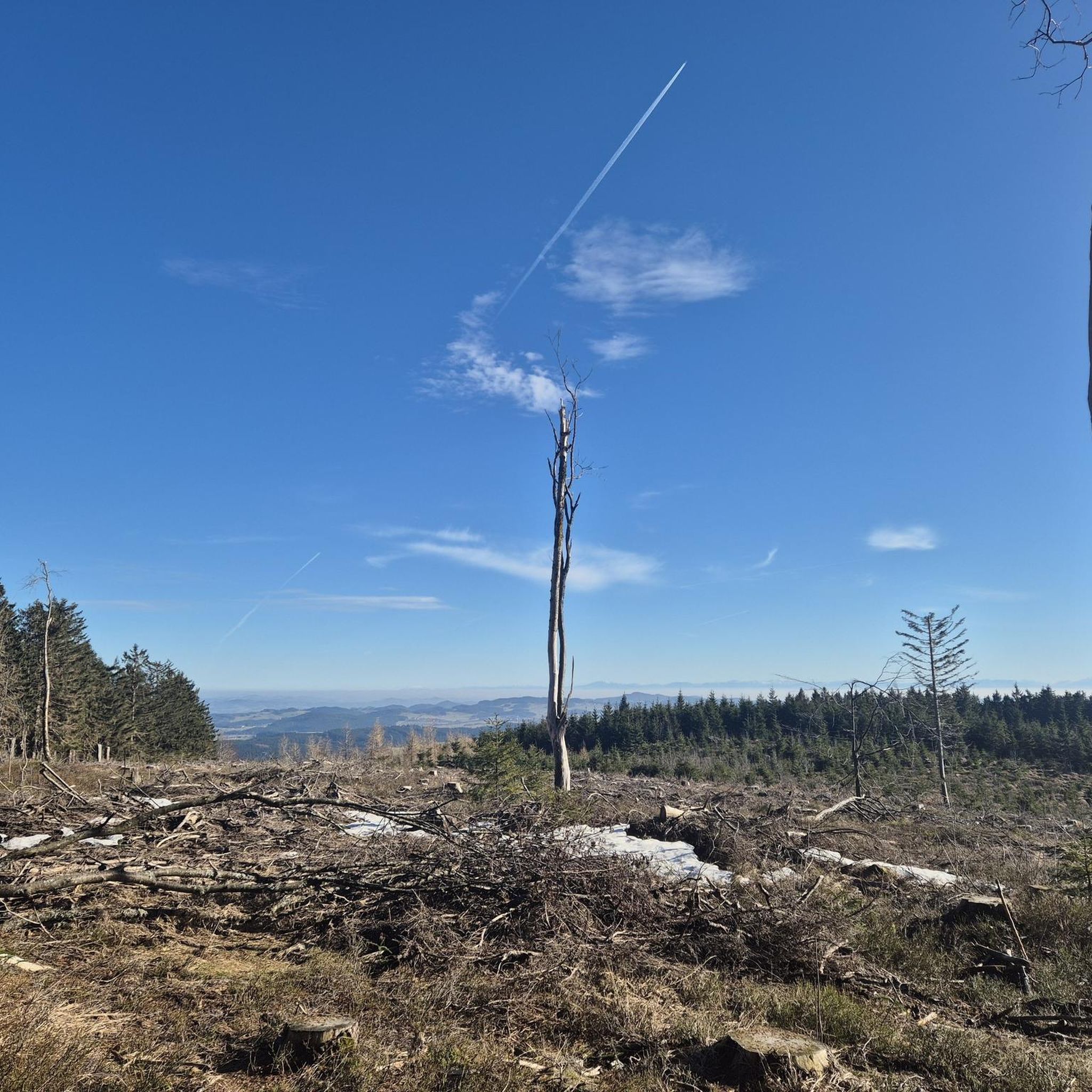
Road cycling in Sternwald offers a mountainous landscape with significant elevations, providing challenging ascents and rewarding panoramic views. The region features prominent natural landmarks such as the Sternstein Observation Tower and Hirschstein, which stands at 1026 meters and is known for its granite formations. Cycling routes often lead to these viewpoints, incorporating varying gradients and winding paths. The terrain is suitable for diverse cycling experiences, with a network of paths that include both paved and unpaved sections.
Best road cycling routes in Sternwald
- The most popular road cycling route is Bad Leonfelden Market Square – Waxenberg loop from Bad Leonfelden, a 23.0 miles (36.9 km) trail that takes 1 hour 51 minutes to complete. This route features a moderate difficulty with over 1,900 feet (578 meters) of elevation gain.
- Another top favourite among local road cyclists is Bad Leonfelden Market Square – Hellmonsödt loop from Bad Leonfelden, a moderate 22.9 miles (36.8 km) path. This route offers varied terrain with over 1,950 feet (596 meters) of climbing.
- Local road cyclists also love the Bad Leonfelden Market Square – Kastner in Leonfelden loop from Bad Leonfelden, a 24.2 miles (38.9 km) trail leading through the region's characteristic rolling hills, often completed in about 1 hour 49 minutes.
- Road cycling in Sternwald is defined by mountainous terrain, significant elevations, and granite formations, offering a range of options for different ability levels.
- The routes in Sternwald are highly rated by the komoot community with an average score of 4.8 stars from over 170 reviews. More than 4,000 road cyclists have used komoot to explore Sternwald's varied terrain.
Last updated: October 24, 2026
5.0
(1)
86
riders
Moderate road ride. Good fitness required. Some segments of this route may be unpaved and difficult to ride.
5.0
(2)
33
riders
Moderate road ride. Good fitness required. Mostly well-paved surfaces and easy to ride.

5.0
(2)
31
riders
Moderate road ride. Good fitness required. Some segments of this route may be unpaved and difficult to ride.
11
riders
Moderate road ride. Good fitness required. Mostly well-paved surfaces and easy to ride.
5.0
(2)
9
riders
Moderate road ride. Good fitness required. Some segments of this route may be unpaved and difficult to ride.
Get access to more routes and recommendations from other explorers.
Already have an account?
Our route recommendations are based on thousands of hikes, rides, and runs completed by other people on komoot.
Start today with a free account
Your next adventure awaits.




Tips from the Community

Wonderful place with a great bakery, which is highly recommended.
0
0

The town hall stands at the western end of the main square, northeast of the parish church in the town of Bad Leonfelden in the Mühlviertel region.
2
0
The parish church in Bad Leonfelden is dedicated to St. Bartholomew.
0
0
Singletrack trail from the Hirschbach fire station, Wiesenweg.
0
0

A fantastic 10km descent through the Hirschgraben valley begins here, taking you almost to Neumarkt.
0
0


Very pretty, small town in the Upper Mühlviertel. Take some time to stroll through the alleys and enjoy the atmosphere.
0
1

Quiet connection between Bad Leonfelden and Reichenau
0
0
Frequently Asked Questions
What kind of terrain can I expect when road cycling in Sternwald?
Sternwald offers a mountainous landscape with significant elevations, providing challenging ascents and rewarding panoramic views. You'll encounter varying gradients and winding paths, characteristic of a region suitable for diverse cycling experiences. While the guide focuses on road cycling, some routes in the broader Sternwald area may include both paved and unpaved sections, so it's always good to check route details.
How challenging are the road cycling routes in Sternwald?
The road cycling routes in Sternwald are primarily moderate to difficult, reflecting the region's mountainous terrain and significant elevations. For instance, routes like Bad Leonfelden Market Square – Waxenberg loop from Bad Leonfelden feature over 1,900 feet (578 meters) of elevation gain over 23 miles. There are over 100 moderate routes and more than 80 difficult routes available, ensuring options for various fitness levels.
Are there road cycling routes suitable for beginners in Sternwald?
While Sternwald is known for its challenging terrain, there are a few easier road cycling routes available. Out of over 200 routes, 7 are classified as easy, offering a gentler introduction to the region's beautiful landscapes.
What are some notable landmarks or viewpoints I can visit while road cycling in Sternwald?
Sternwald is rich in natural landmarks and viewpoints that can be incorporated into your rides. The Sternstein Observation Tower is a significant draw, offering amazing views across the Böhmerland and even the Northern Limestone Alps on clear days. Another impressive natural feature is Hirschstein (1022 m), known for its granite formations and untouched nature. You can also find other viewpoints like 1000-Meter Spot and Platzl (1,060 m).
What do other road cyclists enjoy the most about road cycling in Sternwald?
The area is highly rated by the komoot community, with an average score of 4.8 stars from over 170 reviews. Reviewers often praise the region's mountainous terrain, significant elevations, and the rewarding panoramic views from landmarks like the Sternstein Observation Tower. The diverse network of paths and granite formations also contribute to a unique cycling experience.
Are there any circular road cycling routes in Sternwald?
Yes, many of the road cycling routes in Sternwald are designed as loops, allowing you to start and end your ride in the same location. Examples include Bad Leonfelden Market Square – Hellmonsödt loop from Bad Leonfelden and Bad Leonfelden Market Square – Kastner in Leonfelden loop from Bad Leonfelden, which are popular choices among local cyclists.
Can I find cafes or accommodation along the road cycling routes in Sternwald?
While specific cafes and accommodation directly on every route are not detailed here, the region around Sternwald, particularly in towns like Bad Leonfelden, offers various options for refreshments and overnight stays. It's advisable to check local listings for cafes, pubs, and hotels in the vicinity of your chosen starting point or along your planned route.
What is the best time of year for road cycling in Sternwald?
Given the mountainous terrain, the best time for road cycling in Sternwald is typically from late spring through early autumn (roughly May to October). During these months, the weather is generally more favorable, and the roads are clear of snow and ice, making for safer and more enjoyable rides. Winter cycling would be challenging due to potential snow and icy conditions.
Are there any road cycling routes that are particularly scenic or offer great views?
Absolutely. Many routes in Sternwald are designed to showcase the region's natural beauty. Routes that lead towards the Sternstein Observation Tower are particularly scenic, offering expansive vistas across the Böhmerland. The journey itself often involves winding paths through picturesque landscapes, making the climb worthwhile for the panoramic reward.
How long do road cycling routes in Sternwald typically take to complete?
The duration of road cycling routes in Sternwald varies depending on the distance, elevation gain, and your personal pace. For example, a moderate 23-mile route like Bad Leonfelden Market Square – Waxenberg loop from Bad Leonfelden typically takes around 1 hour and 51 minutes, while longer routes such as Bad Leonfelden Market Square – Ottenschlag Landscape Pond loop from Bad Leonfelden (over 35 miles) can take closer to 3 hours.
Are there options for longer, more challenging road cycling tours in Sternwald?
Yes, for experienced cyclists seeking longer and more challenging rides, Sternwald offers routes with significant distance and elevation. For instance, the Bad Leonfelden Market Square – Ottenschlag Landscape Pond loop from Bad Leonfelden covers over 35 miles (57 km) with nearly 3,000 feet (893 meters) of climbing, providing a substantial challenge.
Most popular routes in Sternwald
Most popular attractions in Sternwald

Get inspired with the komoot mobile app


Explore more
Browse the best Road cycling routes in other regions.
