The best road cycling routes in Schauerwald
4.7
(867)
23,898
riders
345
rides
Road cycling routes in Schauerwald traverse a forested landscape within Bezirk Urfahr-Umgebung. The region features varied terrain, including both challenging ascents and more moderate sections suitable for road cyclists. Elevations can reach over 1,000 meters on some routes, offering diverse riding experiences. The area is characterized by its natural forest environment, providing a scenic backdrop for cycling.
Best road cycling routes in Schauerwald
- The most popular road cycling route is Main Square (Hauptplatz), Linz – Southeast View of Linz loop…
Last updated: September 28, 2026
5.0
(3)
153
riders
64.5km
03:22
1,190m
1,190m
Hard road ride. Very good fitness required. Mostly well-paved surfaces and easy to ride.
4.9
(9)
305
riders
Hard road ride. Very good fitness required. Some segments of this route may be unpaved and difficult to ride.

5.0
(2)
120
riders
61.3km
03:07
1,010m
1,010m
Hard road ride. Very good fitness required. Mostly well-paved surfaces and easy to ride.
5.0
(1)
62
riders
43.1km
02:16
800m
800m
Moderate road ride. Good fitness required. Mostly well-paved surfaces and easy to ride.
45
riders
Hard road ride. Very good fitness required. Mostly well-paved surfaces and easy to ride.
Get access to more routes and recommendations from other explorers.
Already have an account?
Our route recommendations are based on thousands of hikes, rides, and runs completed by other people on komoot.
Start today with a free account
Your next adventure awaits.
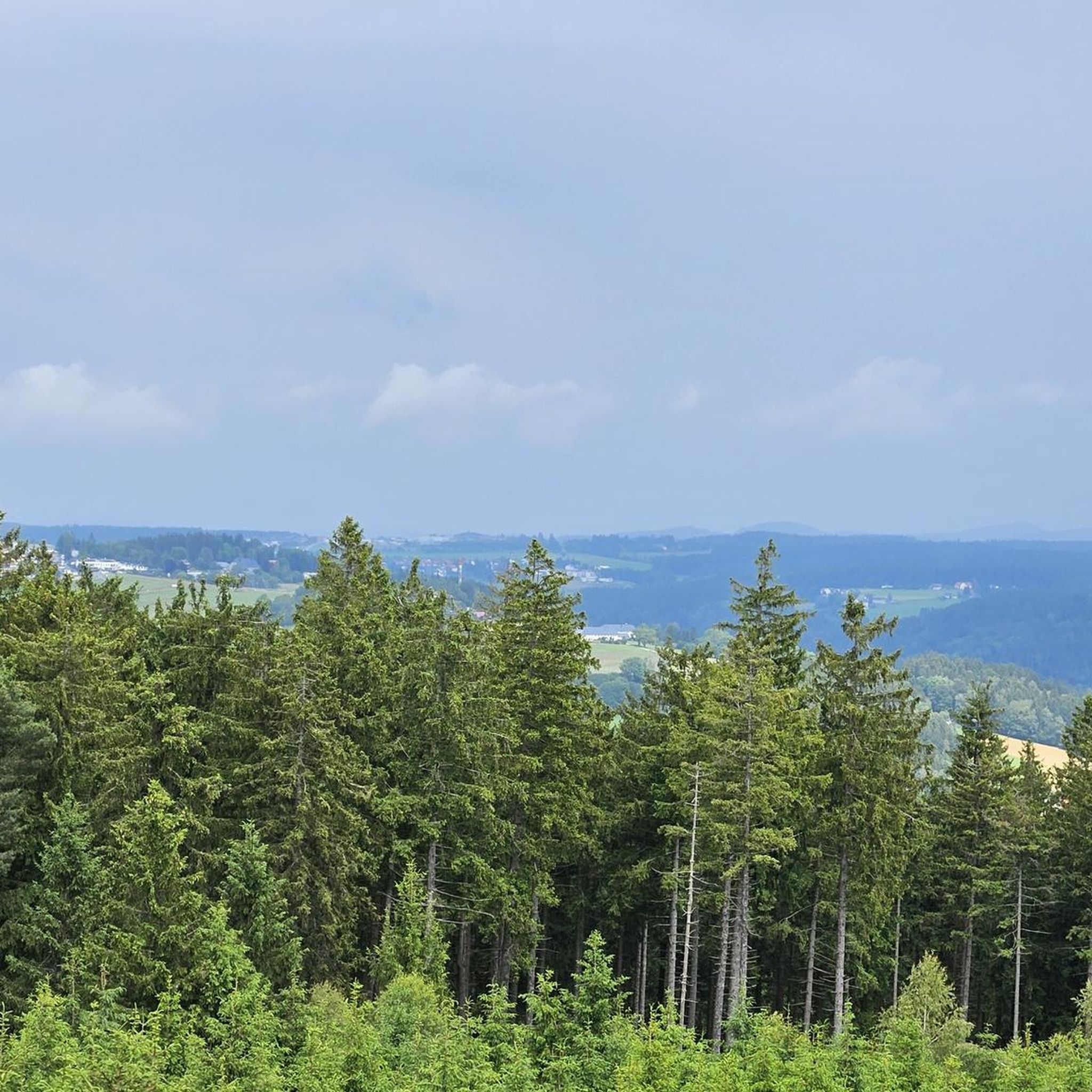
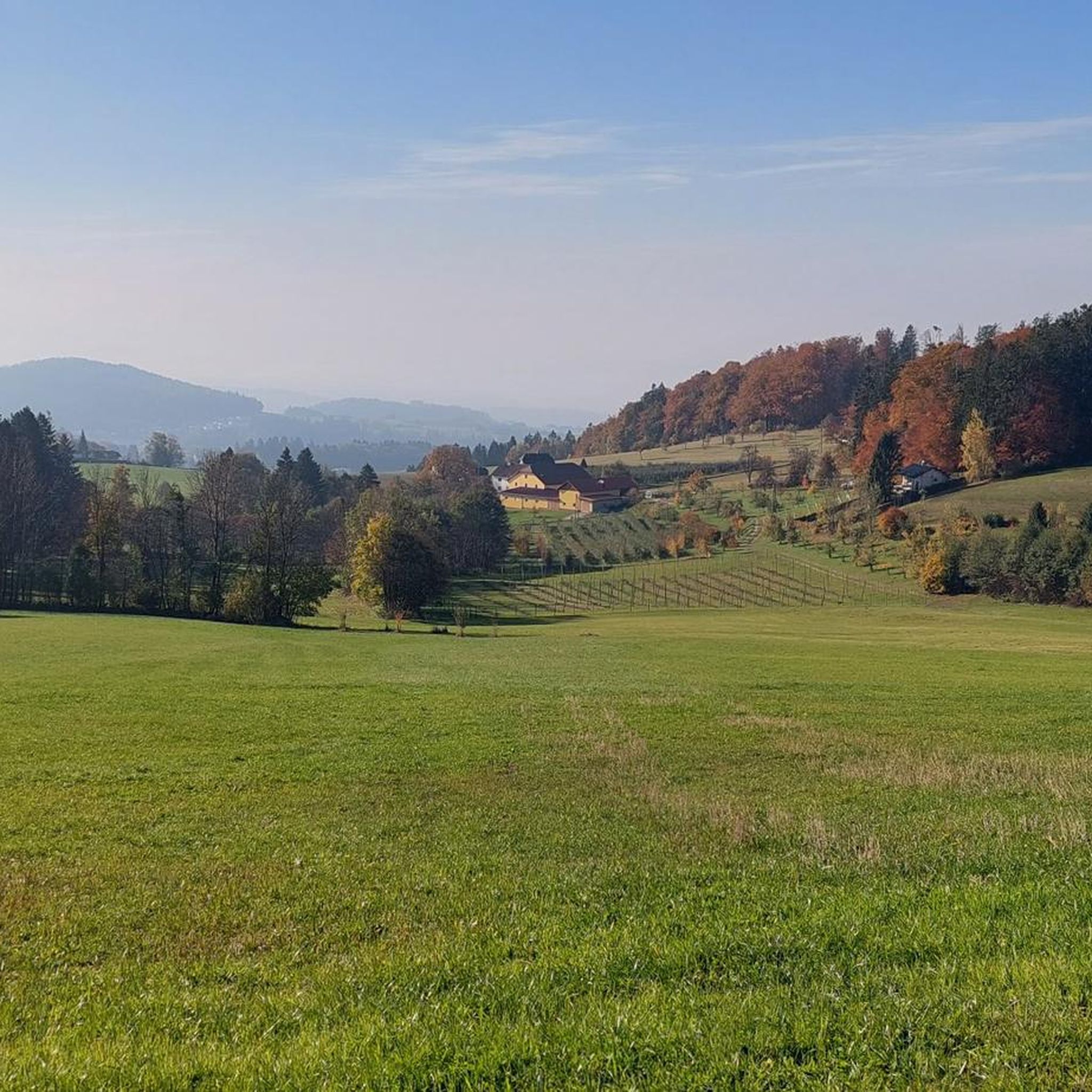
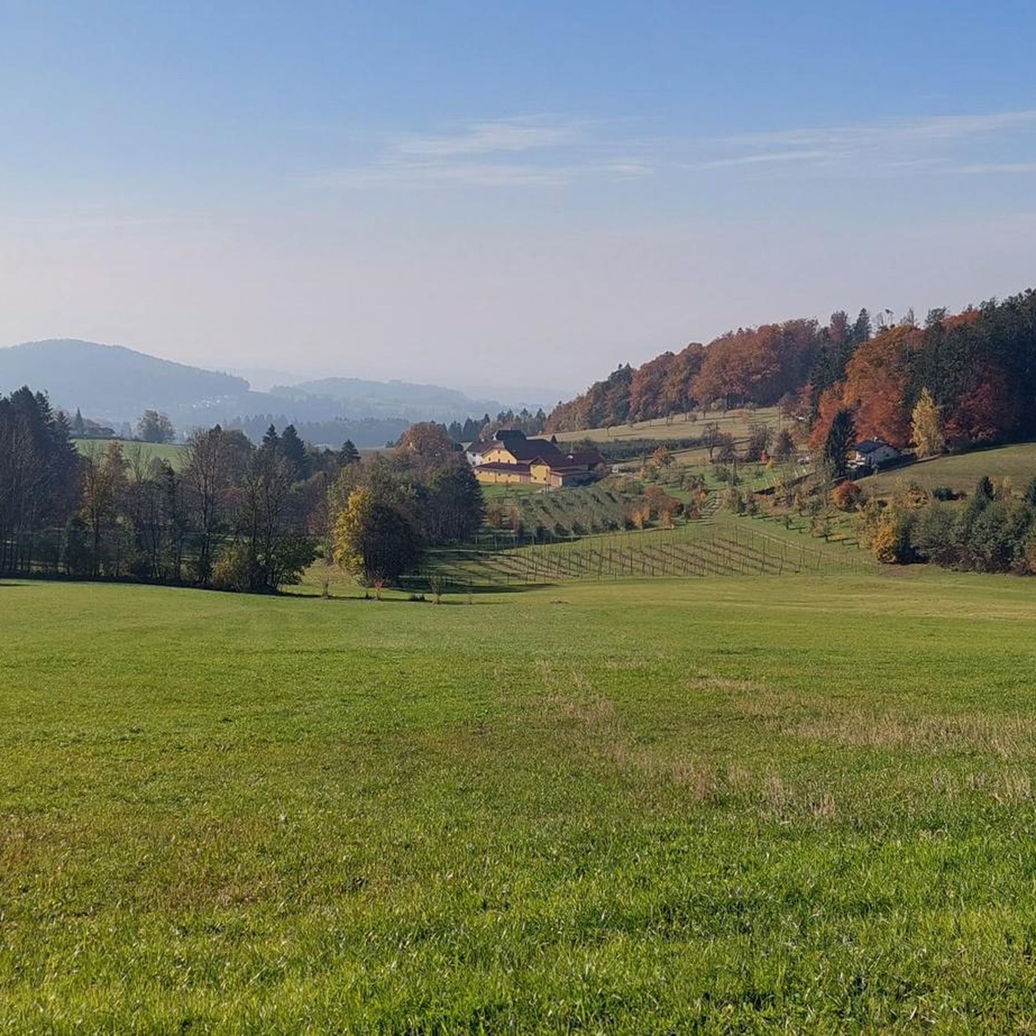
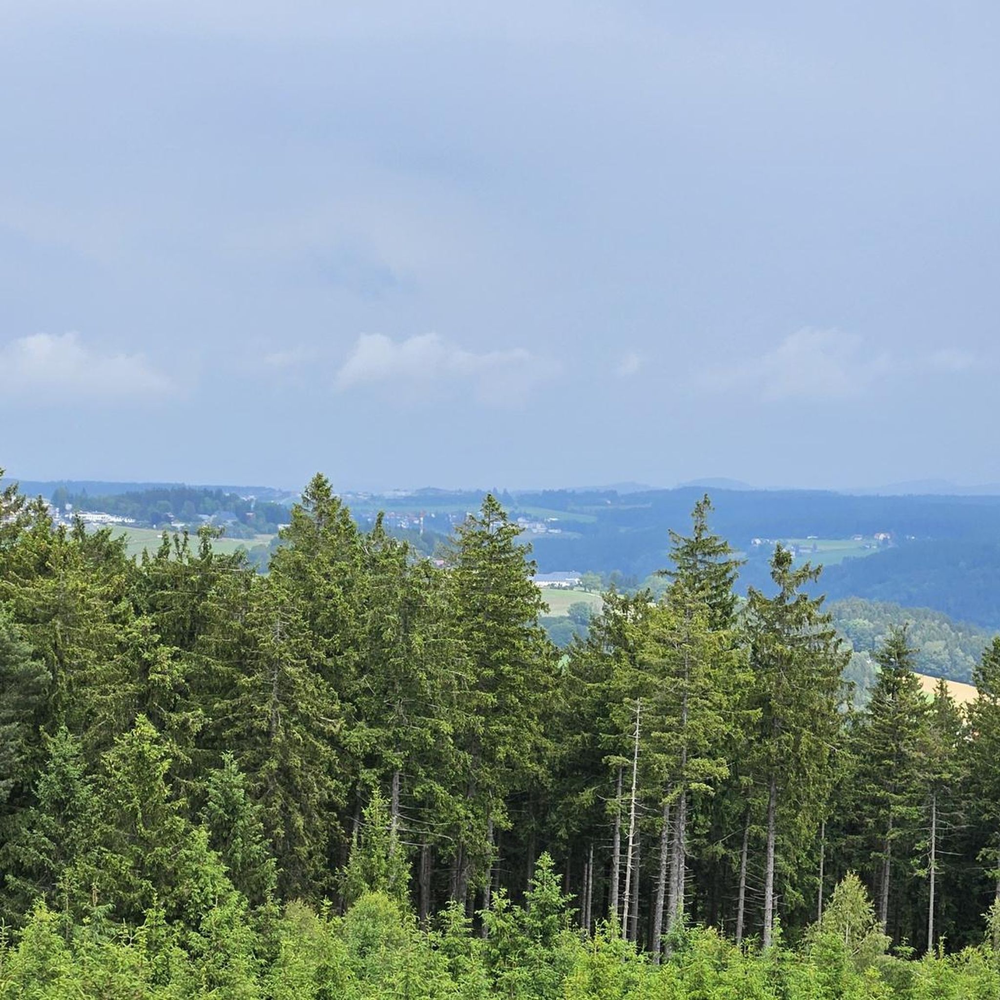


Tips from the Community

Wonderful place with a great bakery, which is highly recommended.
0
0

closed for operational holidays until August 4th
0
0

The parish church of St. Anne, with its attached parish office and parish hall, is well worth a visit.
0
0

The town hall stands at the western end of the main square, northeast of the parish church in the town of Bad Leonfelden in the Mühlviertel region.
2
0

Cozy guesthouse with great food
0
0

Beautiful cycle path with a view
3
0

A massive and impressive building.
4
0

Frequently Asked Questions
How many road cycling routes are available in Schauerwald?
Schauerwald offers a wide selection of road cycling routes, with over 350 tours available. These routes cater to various skill levels, from moderate to challenging, traversing the region's forested landscapes.
What kind of terrain can I expect when road cycling in Schauerwald?
Road cycling in Schauerwald features a varied terrain characterized by forested hills and scenic loops. You can expect both challenging ascents, with elevations reaching over 1,000 meters on some routes, and more moderate sections, providing diverse riding experiences through its natural forest environment.
Are there road cycling routes suitable for beginners in Schauerwald?
While Schauerwald is known for its varied terrain, there are approximately 18 routes classified as easy, and 181 routes are considered moderate. These offer less demanding options for those new to road cycling or looking for a more relaxed ride.
What are some challenging road cycling routes in Schauerwald?
For experienced road cyclists seeking a challenge, Schauerwald offers around 158 difficult routes. A notable example is the Main Square (Hauptplatz), Linz – Southeast View of Linz loop from Bezirk Urfahr-Umgebung, which covers 60.8 km with over 1,000 meters of elevation gain. Another demanding option is the View of Waxenberg Castle Ruins – Waxenberg loop from Eidenberg, a 73.7 km trail with significant climbs.
Are there loop routes for road cycling in Schauerwald?
Yes, many road cycling routes in Schauerwald are designed as loops, allowing you to start and finish at the same point. Examples include the Kirchschlag – Reichenau Castle Ruins loop from Kirchschlag bei Linz and the Bad Leonfelden Market Square – Waxenberg loop from Kirchschlag bei Linz.
What interesting sights or viewpoints can I discover along road cycling routes in Schauerwald?
Schauerwald's road cycling routes offer access to several scenic viewpoints and attractions. You can find highlights such as the Gisela Tower and Gisela Cross on Lichtenberg, the Lichtenberg Transmitter and Gäste-Warte Observation Tower, and the Dr. Walter Amon Observation Tower on Breitenstein, offering expansive views of the surrounding landscape.
Are there any historical landmarks to see while road cycling in Schauerwald?
Yes, you can incorporate historical landmarks into your road cycling tours. For instance, the Kirchschlag – Reichenau Castle Ruins loop from Kirchschlag bei Linz guides riders past the historic Reichenau Castle Ruins. Additionally, the View of Waxenberg Castle Ruins – Waxenberg loop from Eidenberg takes you through the Waxenberg area, which is home to its own castle ruins.
Are there places to eat or rest along the road cycling routes?
Yes, you'll find options for refreshments and rest stops. For example, the Zur Gis Inn and the Eidenberger Alm are among the establishments available, providing opportunities to refuel during your ride.
How can I access the road cycling routes in Schauerwald using public transport?
While specific public transport connections for each route vary, many starting points in Schauerwald are accessible via regional bus services or train lines that connect to larger towns like Linz. We recommend checking local public transport schedules for the most up-to-date information on reaching your desired starting point.
Where can I find parking for road cycling routes in Schauerwald?
Parking availability depends on the specific starting point of your chosen route. Many towns and villages within Schauerwald and the broader Bezirk Urfahr-Umgebung offer public parking facilities. It's advisable to check the komoot tour planner for details on parking near the start of individual routes.
What do other road cyclists enjoy the most about road cycling in Schauerwald?
The komoot community highly rates road cycling in Schauerwald, with an average score of 4.7 stars from over 500 reviews. Cyclists often praise the region's varied elevation profiles, the natural forest environment, and the well-maintained routes that offer options for different ability levels.
What is the best time of year for road cycling in Schauerwald?
The best time for road cycling in Schauerwald is typically from spring through autumn, when the weather is milder and the forested landscapes are at their most vibrant. During these seasons, you can enjoy comfortable temperatures and clear conditions for tackling both challenging climbs and scenic loops.
Most popular routes in Schauerwald
Most popular attractions in Schauerwald

Get inspired with the komoot mobile app


Explore more
Browse the best Road cycling routes in other regions.
