The best mountain hikes in Tauglboden
4.7
(140)
2,150
hikers
79
hikes
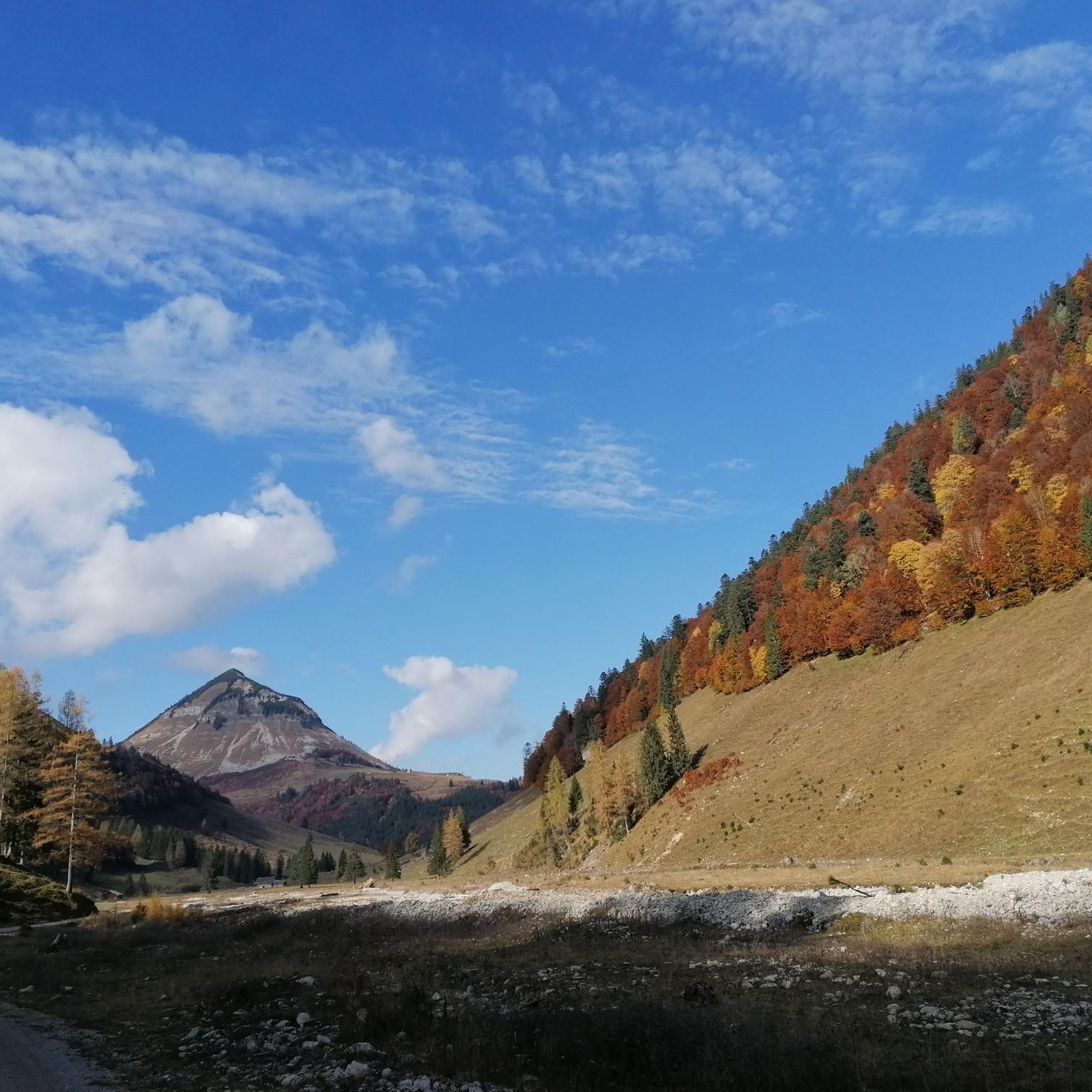
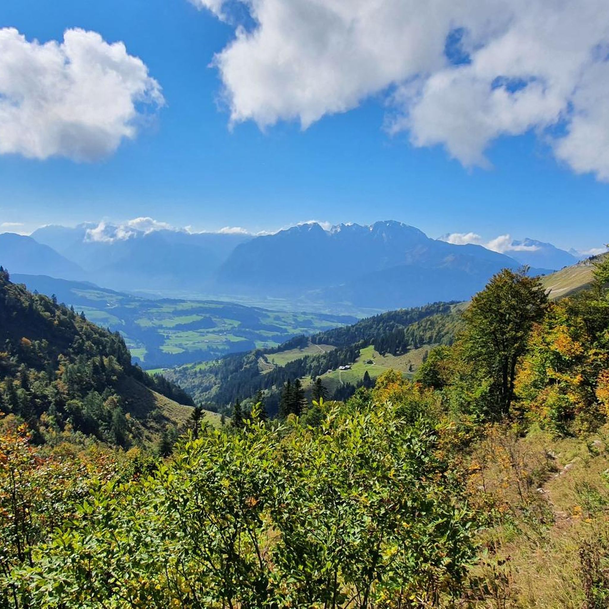
Mountaineering in Tauglboden, nestled in Austria's Salzburg region, is characterized by its unique geological features and dramatic landscapes. The area is shaped by the Tauglbach stream, which carves through deep ravines and features numerous waterfalls, including the prominent Strubklamm gorge. The surrounding Osterhorngruppe mountain region offers varied terrain, from challenging summits like Regenspitz to more moderate paths. This region provides a diverse environment for mountaineering, with routes traversing forests, alpine meadows, and rocky ascents.
Best mountaineering routes in Tauglboden
- The…
Last updated: October 5, 2026
10
hikers
9.29km
04:31
880m
880m
Hard mountaineering route. Good fitness required. Sure-footedness, sturdy shoes and alpine experience required.
7
hikers
15.1km
07:02
1,100m
1,100m
Hard mountaineering route. Very good fitness required. Sure-footedness, sturdy shoes and alpine experience required.

5.0
(1)
7
hikers
9.64km
04:18
780m
780m
Hard mountaineering route. Good fitness required. Sure-footedness, sturdy shoes and alpine experience required.
7
hikers
2.89km
01:55
370m
370m
Hard mountaineering route. Good fitness required. Sure-footedness, sturdy shoes and alpine experience required.
5.0
(1)
51
hikers
Moderate mountaineering route. Good fitness required. Mostly accessible paths. Sure-footedness required.
Get access to more routes and recommendations from other explorers.
Already have an account?
Our route recommendations are based on thousands of hikes, rides, and runs completed by other people on komoot.
Start today with a free account
Your next adventure awaits.

Tips from the Community

very nice hut with fantastic views to the Watzmann
1
0

Beautiful ridge path from the Gruberhorn to the Dürlstein or Hohen First. Caution: In the last third of the route, you reach the ridge via a steel ladder over the rock face. The ladder isn't very high, but you climb up to the top of the ridge, so this is only for experienced hikers! Great view of the Gruberhorn!
0
0

The Walkner family has been running this rustic hut for more than 300 years. Homemade dumplings, doughnuts and bread await you. The hut can be reached on foot or by mountain bike and is open from the end of May to the end of October. http://www.bergalm.info/info.html
1
0


Beautiful cabin with good food! Ideal for a beer with Kaiserschmarrn after the summit. Also suitable for sledders and walkers who walk along the road to the hut.
0
0
Cool ladder 🤩 transition to Gruberhorn 🐍
0
0
Frequently Asked Questions
How many mountaineering routes are available in Tauglboden, and what are their difficulty levels?
Tauglboden offers a wide range of mountaineering experiences with nearly 80 routes. The majority, around 50, are classified as difficult, providing significant challenges. There are also about 26 moderate routes and a few easier options for those seeking a less strenuous adventure.
Are there any family-friendly mountaineering routes in Tauglboden?
While many routes in Tauglboden are challenging, there are a few easier options suitable for families or those new to mountaineering. These routes often traverse alpine meadows and offer beautiful scenery without extreme elevation gains. For example, the Trattberg Summit – Trattberg Summit and Pond loop from St. Koloman Trattberg Maut is a moderate trail that leads through picturesque landscapes.
What natural landmarks or attractions can I discover while mountaineering in Tauglboden?
Tauglboden is rich in natural beauty. The area is shaped by the Tauglbach stream, which carves through deep ravines and features numerous waterfalls, including the prominent Strubklamm gorge. Along the routes, you might encounter highlights such as the Schmittenstein Summit, the tranquil Grundbichlalm, or the scenic Taugelgrund.
Are there any circular mountaineering routes in Tauglboden?
Yes, many of the mountaineering routes in Tauglboden are designed as loops, allowing you to start and end at the same point. A popular example is the challenging Regenspitz Summit (1,675 m) – View of Regenspitz loop from Tauglboden, which offers extensive views across the mountain landscape.
What do other mountaineers enjoy most about the routes in Tauglboden?
The komoot community highly rates the mountaineering routes in Tauglboden, with an average score of 4.7 stars from over 130 reviews. Mountaineers often praise the varied terrain, from forests and alpine meadows to rocky ascents, and the rewarding views from summits like Regenspitz.
Can I find routes that lead to prominent summits in Tauglboden?
Absolutely. Tauglboden is part of the Osterhorngruppe mountain region, offering routes to significant summits. The View of Regenspitz – Regenspitz Summit (1,675 m) loop from ehem. Klemsecker is a prime example, leading to the 1,675 m Regenspitz summit with sustained ascents.
Are there any secured hiking routes or via ferratas in the Tauglboden area?
While Tauglboden itself is known for its mountaineering trails, the wider SalzburgerLand region, which includes Tauglboden, is renowned for its climbing opportunities. You can find secured sections like the Schmittenstein – Secured hiking route. The broader region also offers numerous via ferratas, ranging from easy to very difficult.
What is the geological significance of Tauglboden?
Tauglboden is notable for its unique geological features, particularly the Tauglboden Formation. This formation consists primarily of radiolarites, which were deposited in a deep marine environment during the Jurassic period. This geological history contributes to the dramatic landscapes and distinct rock formations found in the area. You can learn more about the Tauglboden Formation on Wikipedia.
Are there any routes that offer views of the Tauglbach stream or its gorges?
The Tauglbach stream is a defining feature of the region, carving through deep ravines and featuring numerous waterfalls. While specific routes directly along the entire stream aren't detailed, many trails in Tauglboden will offer glimpses or lead near sections of this impressive natural wonder, including the famous Strubklamm gorge.
How long do mountaineering routes in Tauglboden typically take to complete?
The duration of mountaineering routes in Tauglboden varies significantly depending on their length and difficulty. For instance, a difficult route like the Regenspitz Summit (1,675 m) – View of Regenspitz loop from Grundbichl can take around 4 hours 17 minutes, while shorter, difficult loops such as the View of Regenspitz – Regenspitz Summit (1,675 m) loop from Neureithütte might take about 1 hour 57 minutes.
Is parking generally available near the trailheads for mountaineering routes?
While specific parking details for every trailhead are not always listed, many routes in Tauglboden, especially those starting from well-known points like 'ehem. Klemsecker' or 'St. Koloman Trattberg Maut', typically have designated parking areas nearby to accommodate mountaineers.
Most popular routes in Tauglboden
Most popular attractions in Tauglboden

Get inspired with the komoot mobile app


Explore more
Browse the best Mountain Hikes & Routes in other regions.
