The best mountain hikes in Schlageben
4.7
(275)
4,093
hikers
109
hikes
Mountaineering routes in Schlageben are situated within a mountainous region characterized by prominent peaks and significant elevation changes. The terrain primarily consists of challenging ascents to summits like Gennerhorn, Hoher Zinken, and Regenspitz, offering extensive views. These routes often involve sustained climbing through varied mountain landscapes. The area provides a focused environment for experienced mountaineers seeking demanding high-altitude experiences.
Best mountaineering routes in Schlageben
- The most popular mountaineering route is Gennerhorn – Summit Cross Hoher Zinken loop from Lämmerbach,…
Last updated: July 1, 2026
4.6
(8)
122
hikers
16.4km
06:53
1,080m
1,080m
Hard mountaineering route. Very good fitness required. Mostly accessible paths. Sure-footedness required.
4.7
(7)
121
hikers
14.0km
05:56
910m
910m
Hard mountaineering route. Very good fitness required. Sure-footedness, sturdy shoes and alpine experience required.

Sign up for free
5.0
(5)
70
hikers
11.3km
04:57
860m
860m
Moderate mountaineering route. Good fitness required. Mostly accessible paths. Sure-footedness required.
4.5
(2)
44
hikers
6.69km
02:32
460m
460m
Moderate mountaineering route. Good fitness required. Mostly accessible paths. Sure-footedness required.
5.0
(4)
39
hikers
15.6km
06:08
900m
900m
Hard mountaineering route. Very good fitness required. Sure-footedness, sturdy shoes and alpine experience required.
Get access to more routes and recommendations from other explorers.
Sign up for free
Already have an account?
Our route recommendations are based on thousands of hikes, rides, and runs completed by other people on komoot.
Start today with a free account
Your next adventure awaits.
Login or Signup
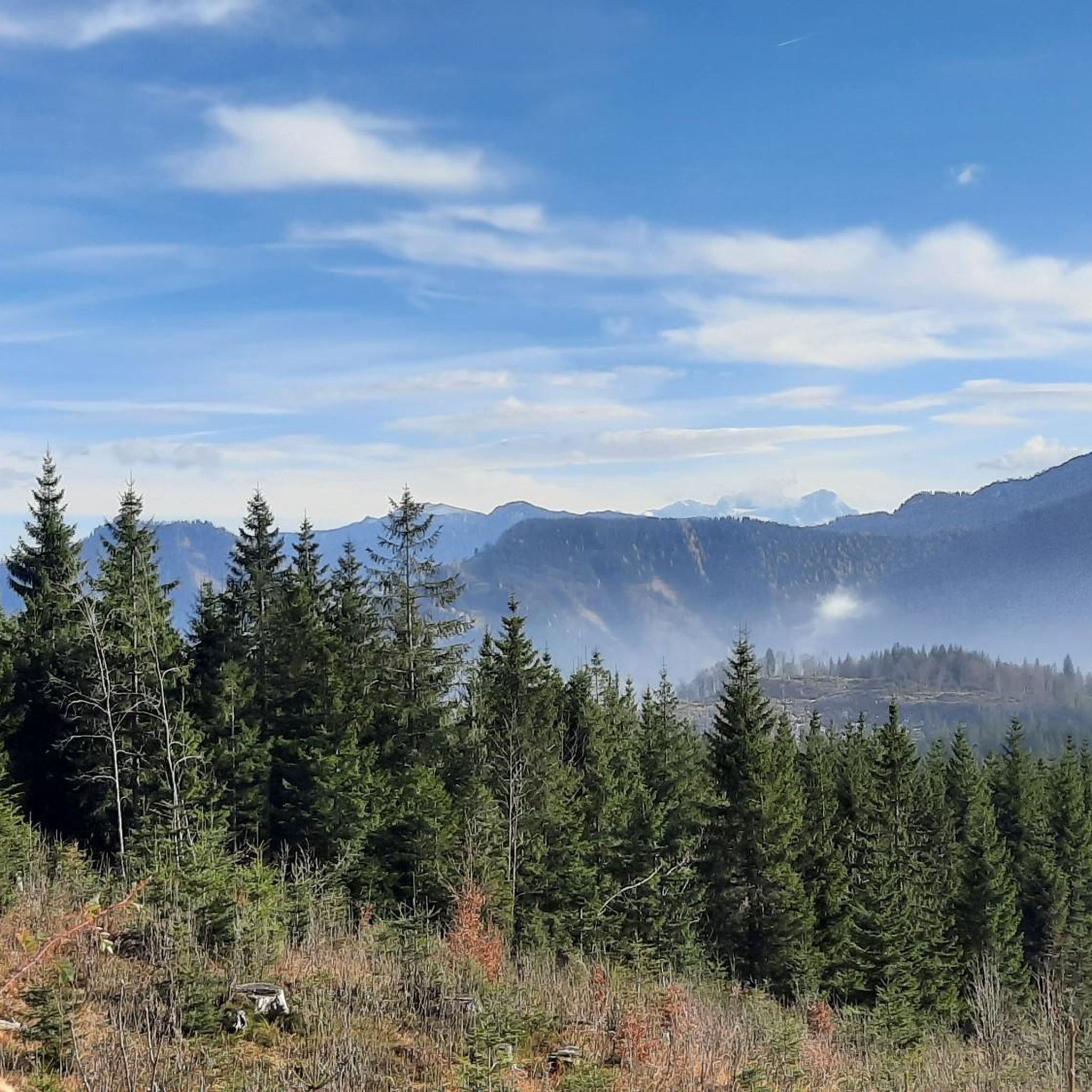
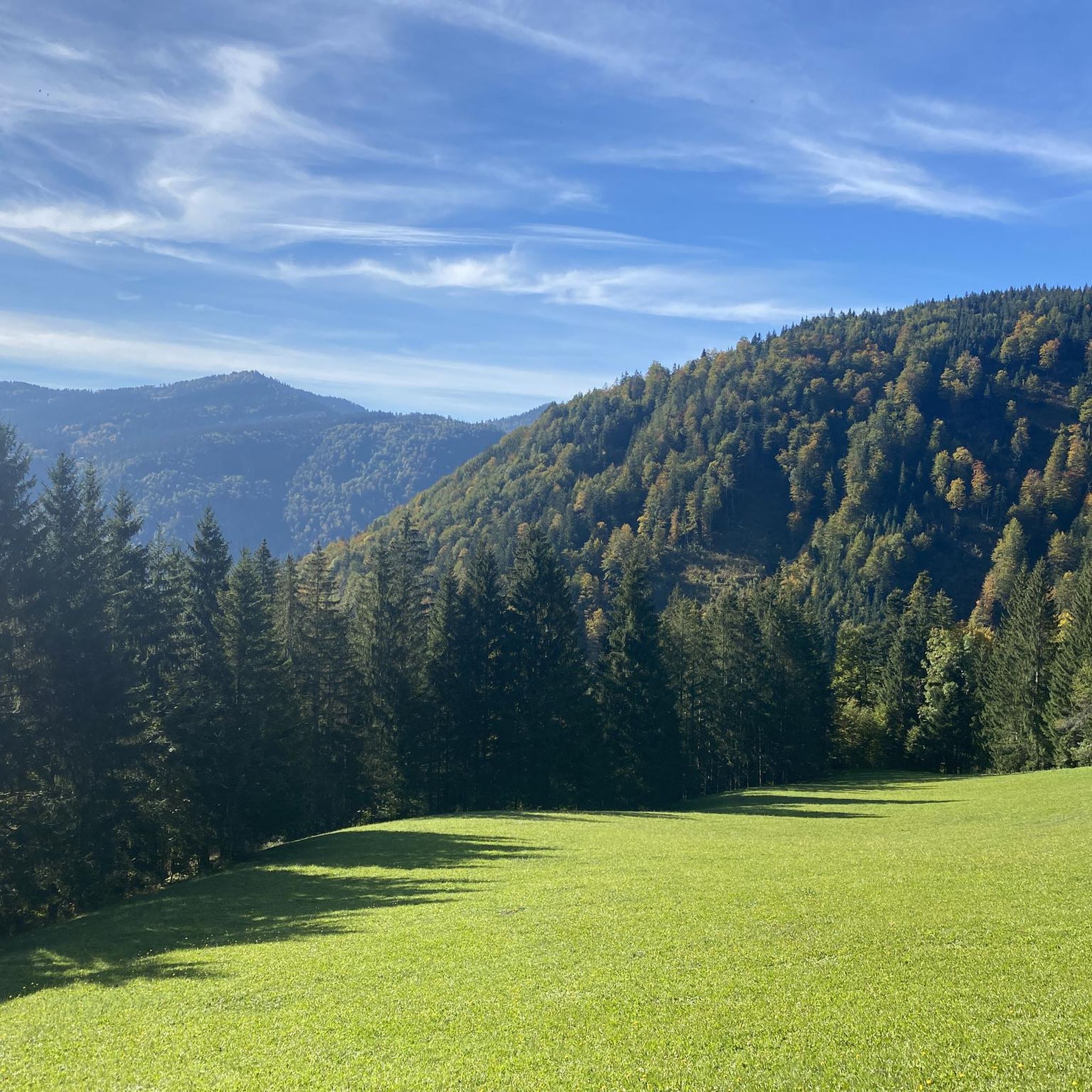
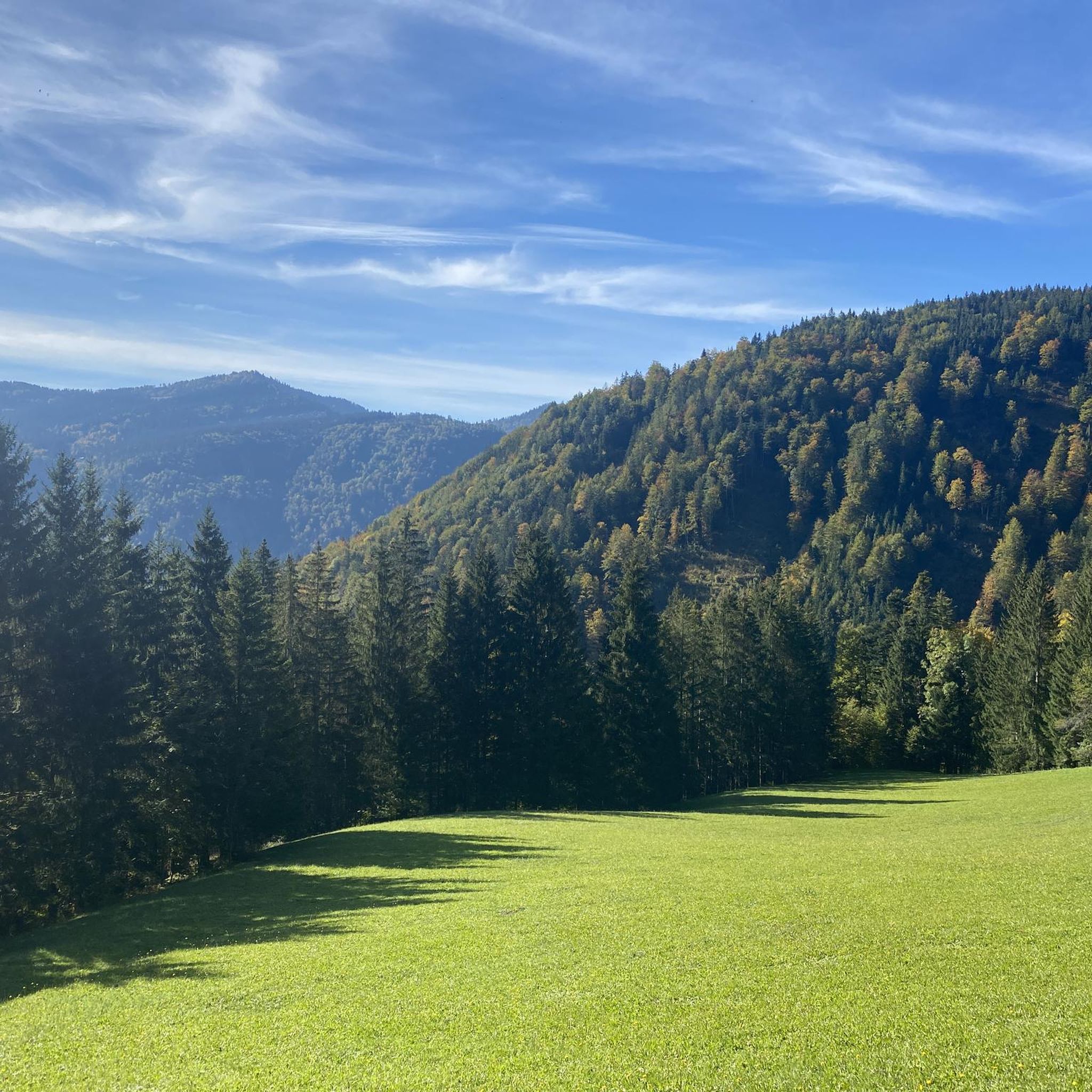

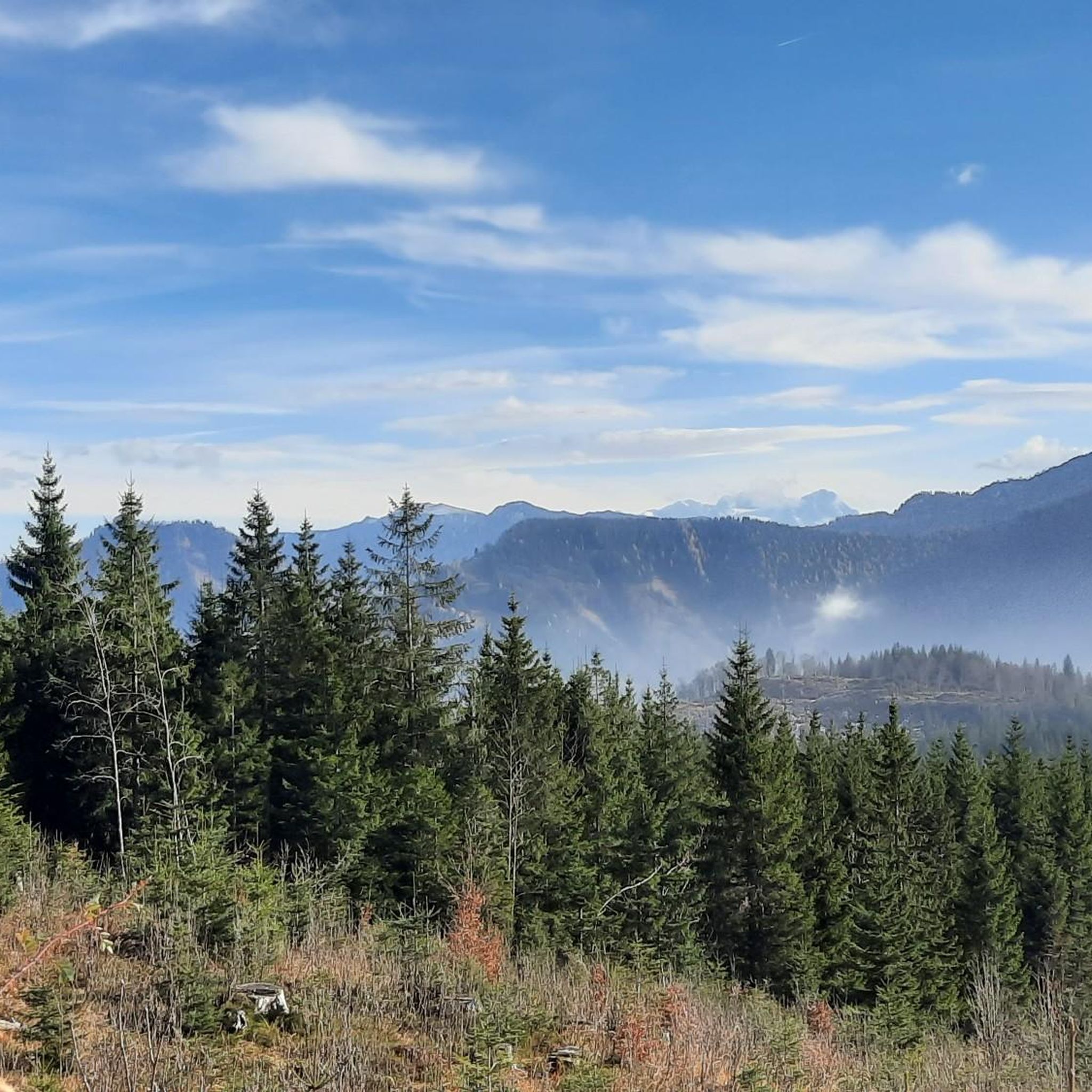
Tips from the Community

Gennerhorn summit cross
0
0

beautiful to ride on the MTB
0
0
great hut at the end of the Osterhornrunde on the Genneralm
0
0

Here you'll find the opportunity to charge your e-bike and enjoy a refreshing drink at the same time. Several hiking tours also start from here. If you're up for a bike and hike tour, this is the place for you.
0
0

It is very easy to get to Gennerhor or Osterhorn from the car park by mountain bike.
1
0


Good vantage point with a view of the surrounding lakes (Wolfgangsee etc.)
0
0
Frequently Asked Questions
How many mountaineering routes are available in Schlageben?
Schlageben offers over 110 mountaineering routes, catering primarily to experienced mountaineers seeking challenging ascents and high mountain ridges.
What is the typical difficulty level of mountaineering routes in Schlageben?
The majority of mountaineering routes in Schlageben are classified as difficult, with 65 routes falling into this category. There are also 43 moderate routes and a few easier options for those looking for less strenuous climbs.
Are there any easier mountaineering routes suitable for beginners in Schlageben?
While Schlageben is known for its challenging terrain, there are 4 routes classified as easy. These might be suitable for beginners looking to experience mountaineering, but always check the specific route details before heading out.
What kind of terrain can I expect on Schlageben's mountaineering routes?
Mountaineering in Schlageben is characterized by challenging summit ascents, high mountain ridges, and significant elevation gains. You'll encounter varied mountain landscapes, often involving sustained climbing to prominent peaks like Gennerhorn, Hoher Zinken, and Regenspitz.
What do other mountaineers say about their experiences in Schlageben?
The mountaineering routes in Schlageben are highly rated by the komoot community, with an average score of 4.7 stars from over 280 reviews. Mountaineers often praise the expansive mountain vistas and the demanding nature of the climbs.
Are there any circular mountaineering routes in Schlageben?
Yes, several routes in Schlageben are circular. For example, the Gennerhorn – Summit Cross Hoher Zinken loop from Lämmerbach is a popular difficult circular route, as is the Gennerhorn – Regenspitz Summit (1,675 m) loop from Lämmerbach.
How long do mountaineering routes in Schlageben typically take to complete?
The duration varies depending on the route's length and difficulty. For instance, the difficult Gennerhorn – Summit Cross Hoher Zinken loop from Lämmerbach typically takes around 6 hours 52 minutes, while the Holzeck Summit – Summit Cross Königsberger Horn loop from Lämmerbach is often completed in about 6 hours 9 minutes.
Can I find routes that offer views of specific peaks?
Many routes offer views of prominent peaks. For example, the View of Gennerhorn – Gennerhorn loop from Lämmerbach provides excellent vistas of Gennerhorn, and the Gravel Path at Königsbergalm – Summit Cross Königsberger Horn loop from Hintersee leads to the Königsberger Horn summit cross.
Are there any routes that reach high altitudes in Schlageben?
Yes, mountaineering in Schlageben often involves significant elevation gains to high summits. The Gennerhorn – Regenspitz Summit (1,675 m) loop from Lämmerbach, for instance, leads to the 1,675-meter Regenspitz Summit.
What is the average elevation gain on a difficult mountaineering route in Schlageben?
Difficult routes in Schlageben typically feature substantial elevation gains. For example, the Gennerhorn – Summit Cross Hoher Zinken loop from Lämmerbach involves an ascent of over 1,075 meters.
Is Schlageben suitable for family-friendly mountaineering?
The mountaineering routes in Schlageben are primarily designed for experienced mountaineers due to their challenging nature, significant elevation gains, and difficult terrain. While there are a few easier routes, most are not typically considered family-friendly for mountaineering.
Most popular routes in Schlageben

Get inspired with the komoot mobile app


Explore more
Browse the best Mountain Hikes & Routes in other regions.
