The best walks and hikes in Sandlau
4.6
(1265)
7,716
hikers
549
hikes
Hiking trails in Sandlau are primarily characterized by their flat, riverine landscapes, often following the Traisen River and the Danube Oxbows. The region is situated within a forest in Bezirk Tulln, offering routes through wooded areas and along waterways. Elevation gains are minimal, making the terrain accessible for various activity levels.
Best hiking trails in Sandlau
- The most popular hiking route is Traisen River – Marina Traismauer loop from Sankt Georgen an der Traisen, a 4.1 miles (6.6 km)…
Last updated: July 4, 2026
4.8
(6)
29
hikers
Easy hike. Great for any fitness level. Easily-accessible paths. Suitable for all skill levels.
5.0
(4)
16
hikers
Easy hike. Great for any fitness level. Easily-accessible paths. Suitable for all skill levels.

Sign up for free
5.0
(2)
20
hikers
Easy hike. Great for any fitness level. Easily-accessible paths. Suitable for all skill levels.
5.0
(2)
12
hikers
Easy hike. Great for any fitness level. Easily-accessible paths. Suitable for all skill levels.
4.8
(25)
11
hikers
Easy hike. Great for any fitness level. Easily-accessible paths. Suitable for all skill levels.
Get access to more routes and recommendations from other explorers.
Sign up for free
Already have an account?
Our route recommendations are based on thousands of hikes, rides, and runs completed by other people on komoot.
Start today with a free account
Your next adventure awaits.
Login or Signup
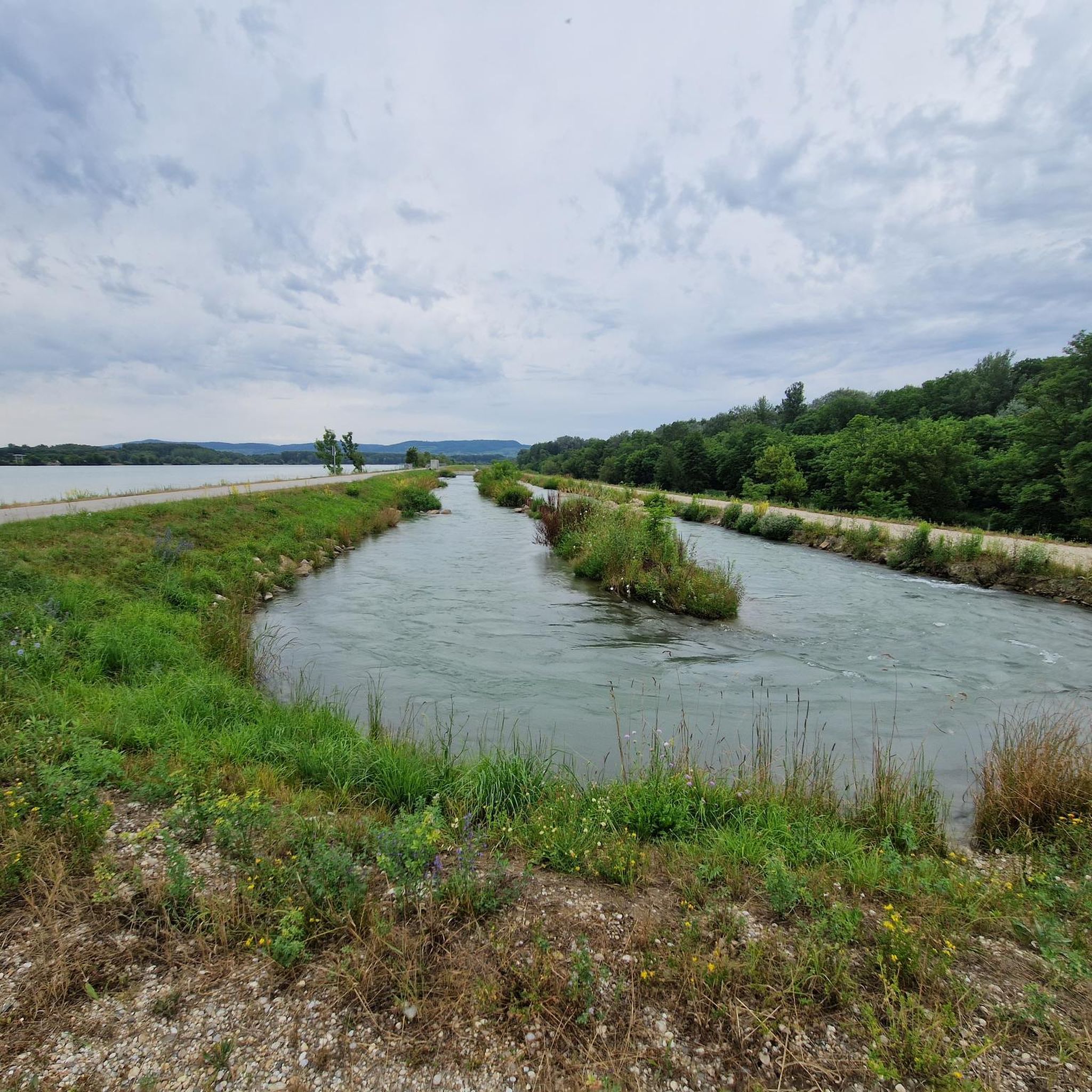
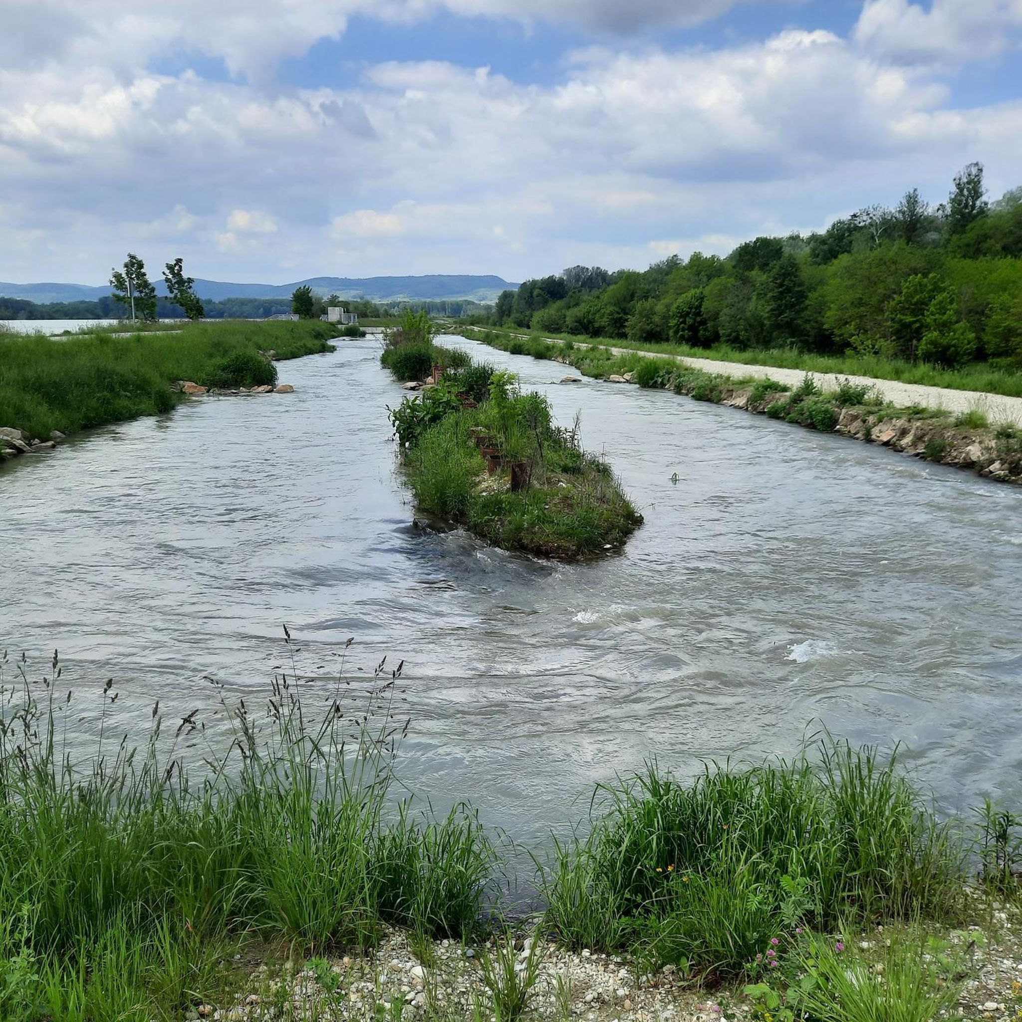
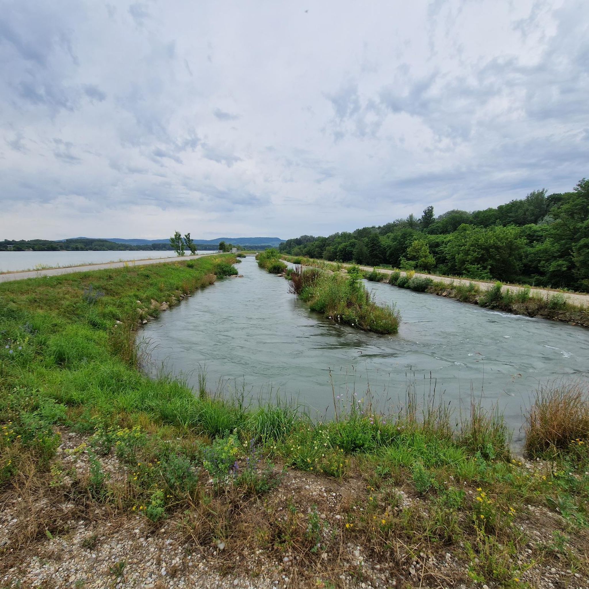
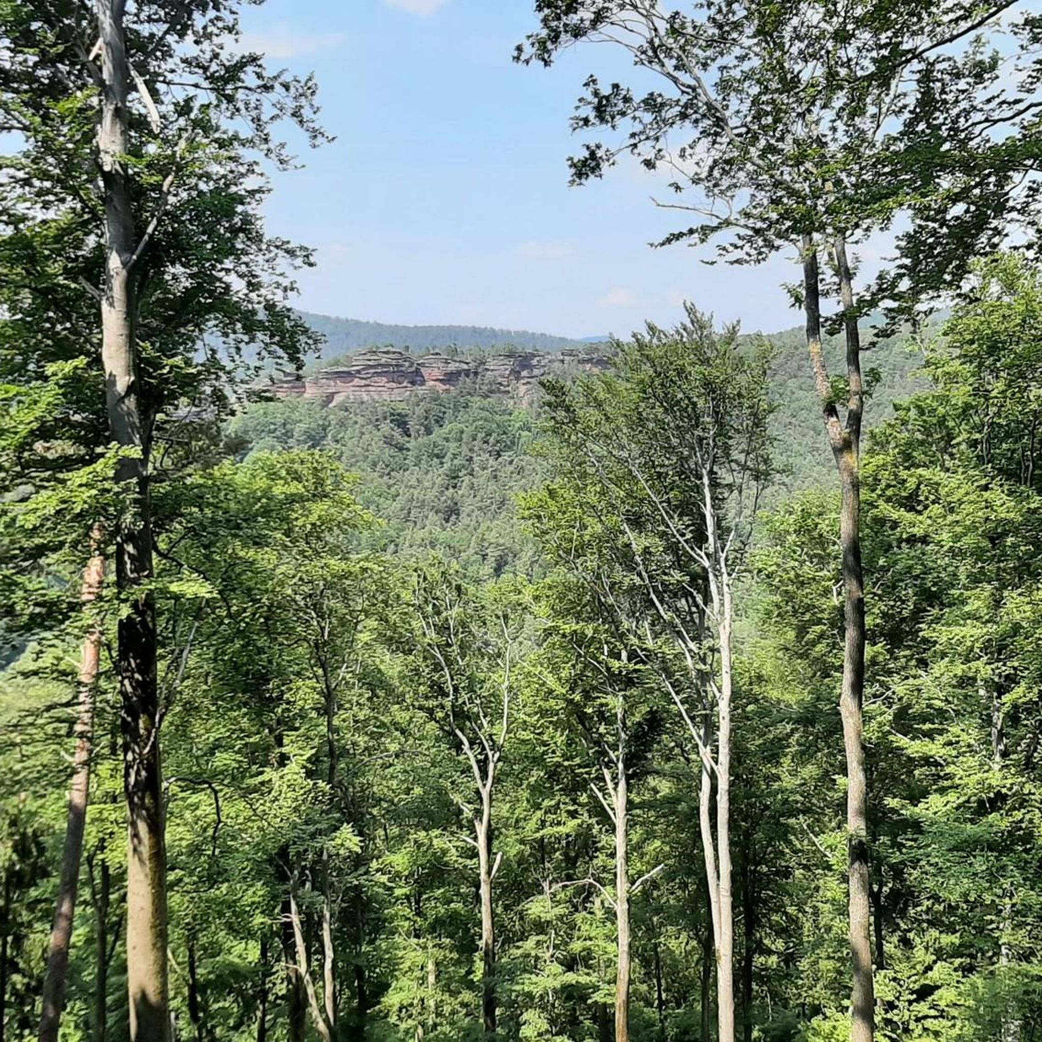
Tips from the Community

here you can cross the Danube and continue on the other side
1
0
you can change to the Danube side here and continue riding on the other side
1
0

Very idyllic place
2
0

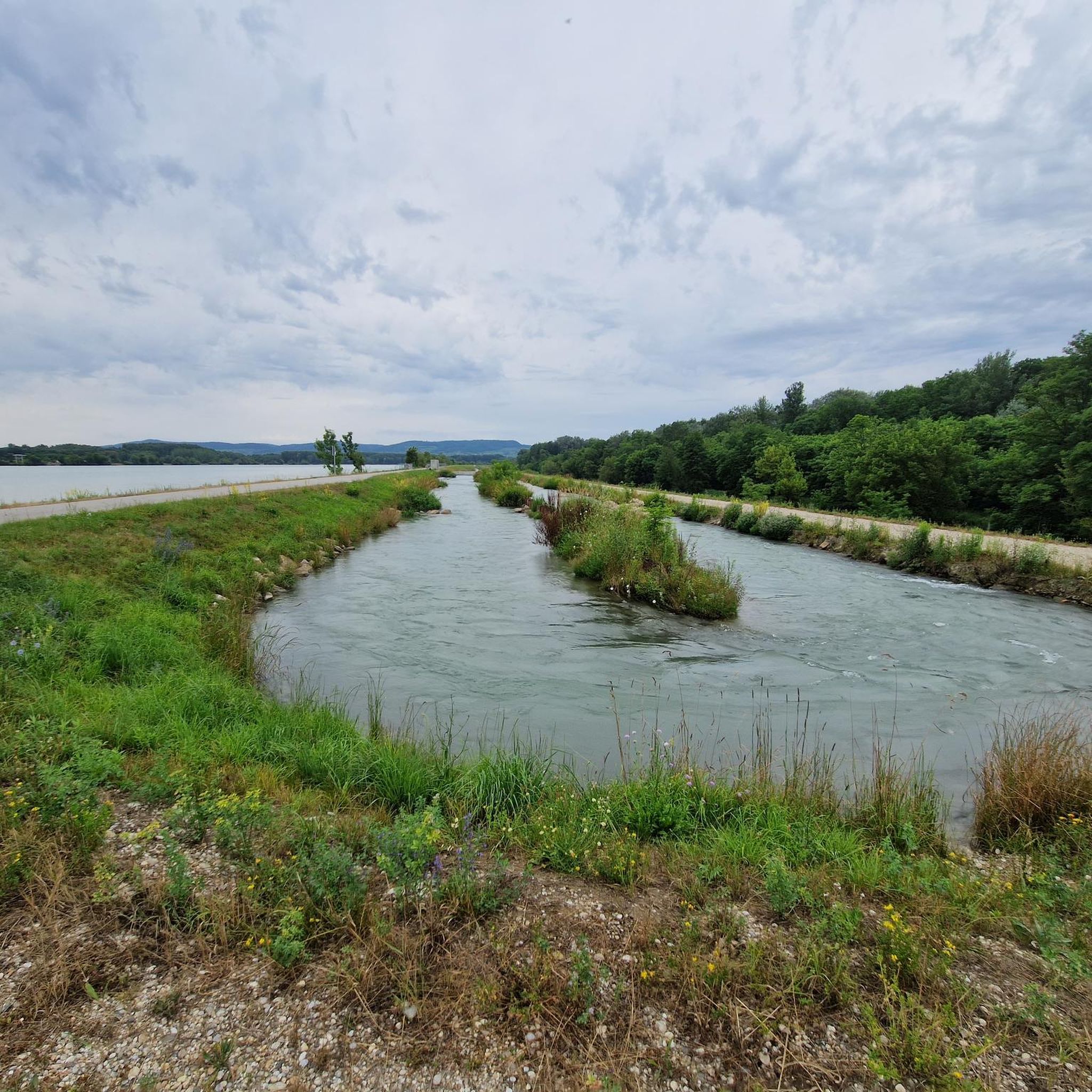
A beautiful wayside shrine located between the Altenwörth power plant and the old river channel; the new body of water resulting from the renaturation flows right behind it.
3
0
A very beautiful piece of nature, which can be visited at any time of year.
3
0
The building is very impressive from this side as well.
3
0
A beautiful remnant of the Danube, which once flowed here.
3
0
An impressive structure with a beautiful view over the Danube; if you are lucky, you can watch a ship being raised or lowered through the lock.
3
0
Frequently Asked Questions
What kind of terrain can I expect on hiking trails in Sandlau?
Hiking trails in Sandlau are primarily characterized by their flat, riverine landscapes, often following the Traisen River and the Danube Oxbows. You'll find routes through wooded areas and along waterways, with minimal elevation gains, making the terrain accessible for various activity levels.
How many hiking trails are available in Sandlau?
Sandlau offers a wide selection of routes, with over 560 hiking trails recorded on komoot. This includes a diverse range of options suitable for different preferences and abilities.
Are there easy hiking options in Sandlau?
Yes, Sandlau is an excellent destination for easy hikes. Out of the more than 560 trails, over 360 are classified as easy, featuring flat terrain and gentle paths perfect for a relaxed outing. An example is the Danube Oxbow Altenwörth – Danube Oxbow Altenwörth loop from Altenwörth, an easy 3.2-mile path.
What are the typical lengths and durations of hikes in Sandlau?
Hikes in Sandlau vary in length, but many are suitable for shorter excursions. For instance, the Traisen River – Marina Traismauer loop from Sankt Georgen an der Traisen is about 4.1 miles (6.6 km) and takes approximately 1 hour 40 minutes. You can find routes ranging from short strolls to longer, moderate walks.
Are there any circular hiking routes in Sandlau?
Yes, many of the trails in Sandlau are designed as circular routes, allowing you to start and end at the same point. A popular option is the Danube Oxbow Altenwörth – Danube Oxbow Altenwörth loop from Altenwörth, which is 4.7 miles (7.6 km) and leads through scenic riverine landscapes.
What kind of natural features or landmarks can I see while hiking in Sandlau?
Along the trails in Sandlau, you can explore various points of interest. Notable features include the Altenwörth fish pass, the Ecological Corridor Altenwörth–Greifenstein, and the tranquil Swan Idyll. There's also the Last Kamp Bridge and a Paved Riverside Cycle Path Near St. Pölten that offers pleasant views.
What do other hikers say about the trails in Sandlau?
The hiking trails in Sandlau are highly regarded by the komoot community, holding an impressive average rating of 4.6 stars from over 1,100 reviews. Hikers often praise the accessible, flat terrain and the beautiful riverine and forested scenery.
Are there any moderate hiking trails for those seeking a bit more challenge?
While Sandlau is known for its easy trails, there are also moderate options available. Approximately 200 routes are classified as moderate, offering slightly longer distances or more varied terrain without significant elevation. An example is the Mouth of the Traisen River – Bärndorfer Hut loop from Donaukraftwerk Altenwörth, a 7958-meter route.
Is Sandlau suitable for family-friendly hikes?
Yes, Sandlau's predominantly flat and accessible terrain makes it very suitable for family-friendly hikes. The minimal elevation changes and scenic riverine paths are ideal for walkers of all ages, including children. Many of the easy, circular routes are perfect for a family day out.
Can I bring my dog on the hiking trails in Sandlau?
Given the natural, open character of the riverine and forested trails in Sandlau, many routes are generally dog-friendly. However, it's always recommended to keep dogs on a leash and to check specific trail regulations or local signage for any restrictions, especially in protected areas or near wildlife habitats.
Are there opportunities for wildlife spotting in Sandlau?
With its riverine landscapes and forested areas, Sandlau offers opportunities for wildlife spotting. Along the Traisen River and Danube Oxbows, you might observe various bird species and other small animals typical of wetland and woodland environments. Early mornings or late afternoons are often the best times for sightings.
Most popular routes in Sandlau
Most popular attractions in Sandlau

Get inspired with the komoot mobile app


Explore more
Browse the best Hikes in other regions.
